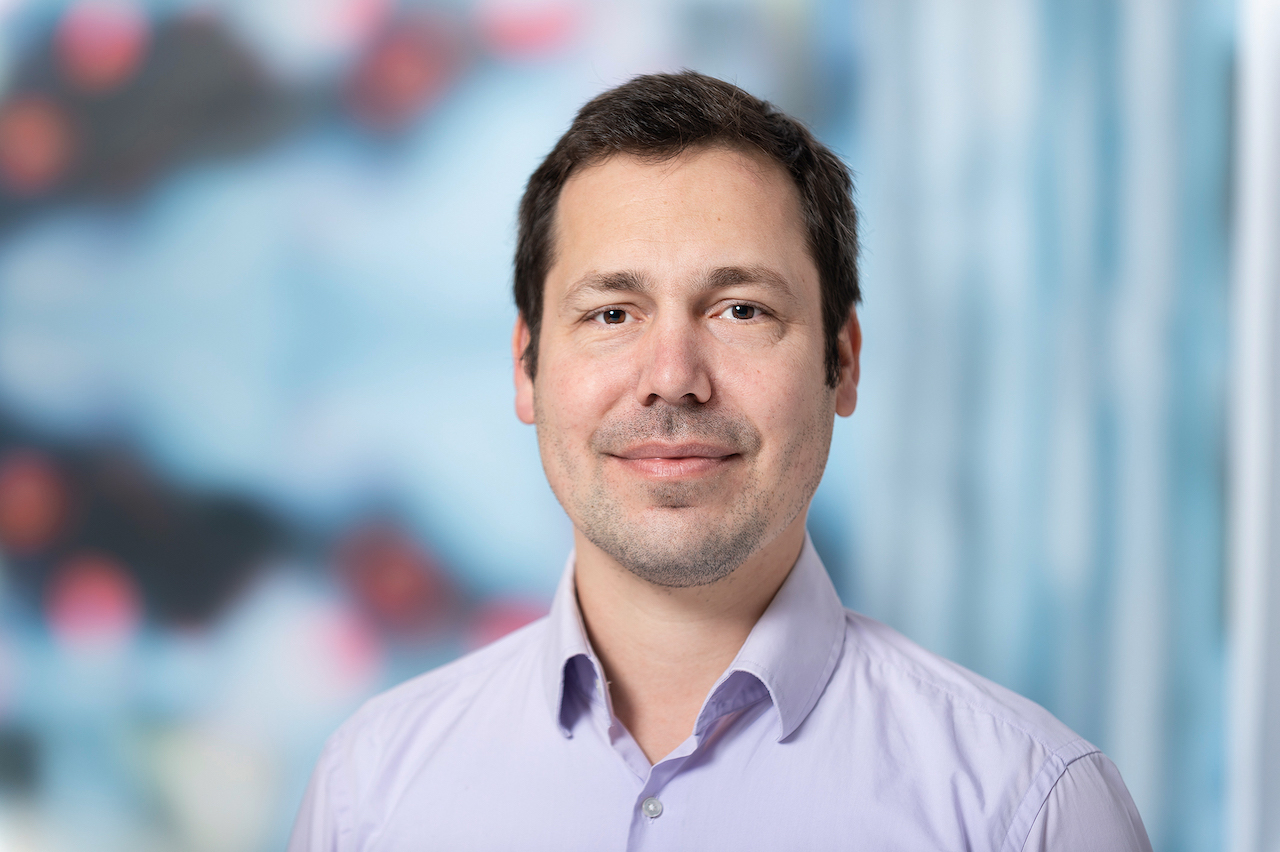
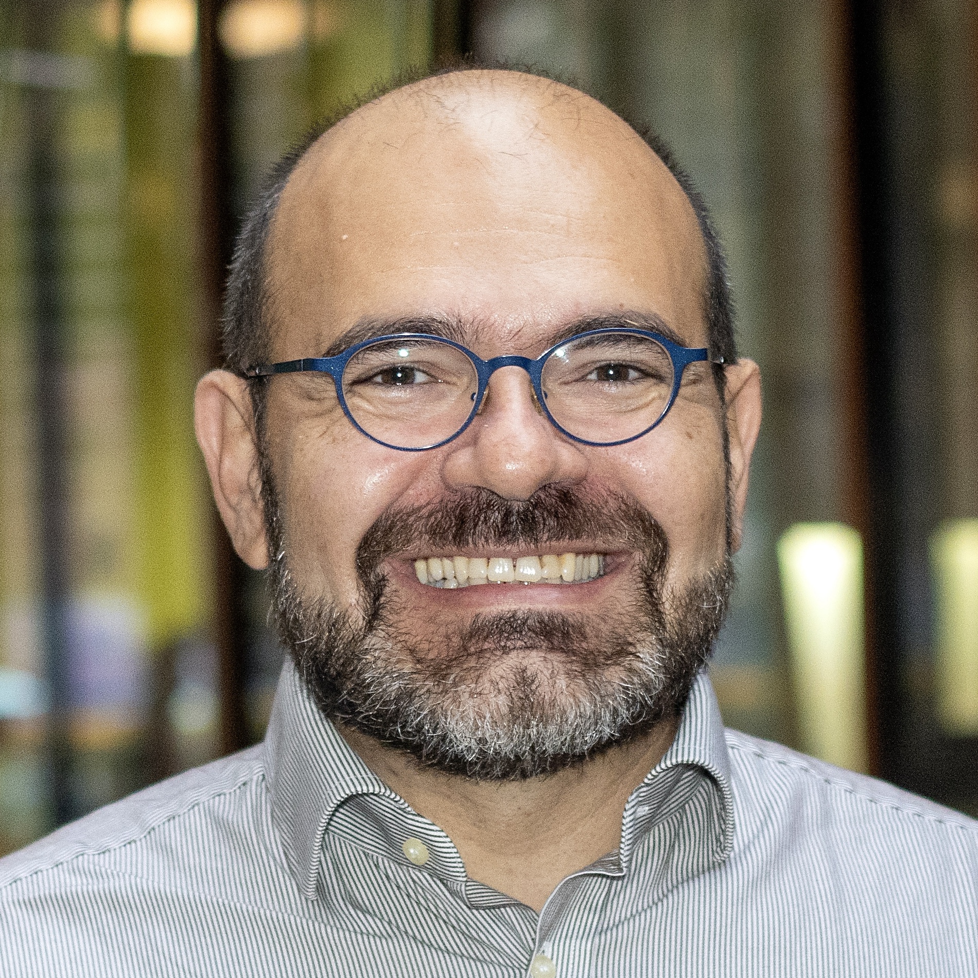
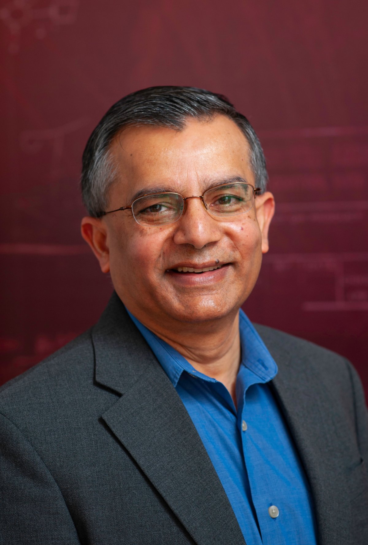
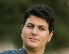
Dr. Alireza Nili is a Senior Lecturer in Service Science at QUT's School of Information Systems within the Faculty of Science. His expertise spans digitization of customer-centric services, AI/chatbots, IoT/IIoT, and sustainable technologies. He holds a PhD from Victoria University of Wellington and has coordinated large-scale courses like IT Systems Design (IFB103), achieving top teaching scores. Nili's research focuses on service ecosystems, trust in digital services, and public/retail sector innovations. He has secured over $1.4M in industry grants for projects involving Cisco, Amazon, and Services Australia. His awards include the 2023 Educator of the Year and multiple top conference paper recognitions. Nili supervises PhD students at Level 3 mentoring status and contributes to major conferences as track chair/associate editor. Research highlights include frameworks for chatbot governance, IOT in agriculture, and AI ethics. His work appears in IEEE Software , Communications of the ACM , and MIT Sloan Management Review . Current projects address consumer trust in AI technologies and spatial data systems. Nili's interdisciplinary approach combines design science with empirical methodologies to bridge theory and practice in digital service innovation.
Stephen Marshall is Professor of Urban Morphology and Urban Design at The Bartlett School of Planning, University College London. He also served as Visiting Professor at the Department of Architecture and Urban Studies, Politecnico di Milano, Italy from 2019 to 2021. With over twenty-five years of experience in the built environment fields, initially in consultancy and subsequently in academia, Professor Marshall has established himself as a leading expert in urban morphology and design. His educational background includes a Doctor of Philosophy from University College London (2001), a Postgraduate Diploma from Edinburgh College of Art (1995), a Master of Science from the University of Leeds (1989), and a Bachelor of Engineering from the University of Glasgow (1988). Professor Marshall's principal research focuses on urban morphology and street layout, examining their relationships with urban formative processes including urban design, coding and planning. His work bridges urban design theory with practical applications, exploring how cities evolve through complex interactions of physical form, social processes, and planning interventions. He has written or edited several influential books including 'Streets and Patterns' (2005), 'Cities, Design and Evolution' (2009), and 'Urban Coding and Planning' (2011). His recent publications reveal a growing interest in applying complexity science to urban morphology, with particular attention to biological analogies for understanding self-organizing cities. He has pioneered research on digital participation methods in urban planning, exploring how online platforms can enhance public engagement in urban space design. His work consistently bridges theoretical urban morphology with practical applications for contemporary urban challenges like pandemic adaptation and sustainable transport. Professor Marshall has served as Chair of the Editorial Board of Urban Design and Planning from its launch to 2012, and is now co-editor of Built Environment journal. His editorial work has significantly shaped scholarly discourse in urban planning and design. He leads several significant research initiatives including the Incubators of Public Spaces project, which explores digital platforms for co-creating urban spaces, and the Self-Organising Built Environment project, which investigates biological analogies in urbanism. These projects reflect his interdisciplinary approach to understanding and shaping urban environments, connecting with Sustainable Development Goal 11 (Sustainable Cities and Communities).
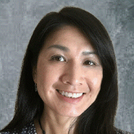
Natasha Zhang Foutz is a Research Associate Professor of Commerce at the McIntire School of Commerce, University of Virginia . Her work bridges Artificial Intelligence , Marketing Analytics , and Consumer Behavior , with a focus on Digital Content and Location-Based Services . She teaches Marketing Analytics , Entertainment Marketing , and Marketing Models across undergraduate to PhD programs. Ph.D. in Marketing, Cornell University M.S. in Statistics & Marketing, Cornell University B.S. in Economics, Fudan University Her research investigates: AI-Powered Entertainment Marketing : Using machine learning to analyze consumer behavior in digital content. Privacy and Ethical Data Use : Studying consumer trade-offs between privacy and public good, especially during crises like the COVID-19 pandemic . Location Analytics : Leveraging mobile data for urban economics, real estate, and emergency response modeling (e.g., MobiRescue for disaster logistics). Prosocial Consumer Behavior : Exploring how social capital and diversity drive innovation and policy compliance. Recent publications highlight trends in Reinforcement Learning for crisis management, Privacy-Preserving AI , and Freemium Pricing Models in digital markets. Her awards include the 2025 UVA Outstanding Researcher Award and the 2018 Mallen Award for motion picture studies. Natasha serves as an Area Editor for multiple journals, emphasizing Data Science in marketing. She has advised numerous PhD students and collaborated on projects analyzing Big Data in consumer mobility and platform economics.
Dr. Jia Zhang is the Inaugural Robert H. Dedman Jr. Endowed Department Chair and Professor of Computer Science at Southern Methodist University (SMU Lyle School of Engineering). She holds the Cruse C. and Marjorie F. Calahan Centennial Chair in Engineering and has a courtesy appointment in the Department of Operations Research and Engineering Management. Her research focuses on applying machine learning, natural language processing, and information retrieval to data science infrastructure, particularly scientific workflows, provenance mining, software discovery, knowledge graphs, cloud computing, immune AI, and applications in earth science and healthcare. Education: Ph.D. in Computer Science, University of Illinois at Chicago M.S. in Computer Science, Nanjing University B.S. in Computer Science, Nanjing University Dr. Zhang's work emphasizes data science infrastructure and machine learning for scientific workflows and knowledge graphs. Her recent publications highlight deep learning , graph neural networks , and optimization algorithms in cloud computing, cybersecurity, and environmental applications. Key trends include spatiotemporal modeling , hybrid neural architectures , and AI-driven service ecosystems . Scientific Awards: Best Paper Awards IEEE SCC (2011, 2017) Best Student Paper Awards IEEE ICWS (2014, 2018), IEEE ICCC (2018) Distinguished Paper Award ICSOC (2023) First Outstanding Service Award IEEE Technical Committee on Services Computing (2016) She has secured over $5 million in federal grants (as PI) and $11 million as PI/Co-PI from NSF, NASA, NIH, UTSW, Ericsson, SAP, and Google. Her lab (Caruth Hall 308) actively recruits research assistants. She previously served as a faculty member at Carnegie Mellon University, Northern Illinois University, and Nanjing University, and worked in industry as a software architect.
Jan Dirk Wegner is an Associate Professor at the University of Zurich, holding the chair in 'Data Science for Sciences' and leading the EcoVision Lab. He previously served as a Postdoc (2012–2016) and senior scientist (2017–2020) at ETH Zurich's Photogrammetry and Remote Sensing Group, following his PhD (with distinction) from Leibniz University Hannover (2011). His research bridges machine learning, computer vision, and remote sensing to address environmental and geoscience challenges, focusing on large-scale environmental data analysis, vegetation monitoring, and climate change mitigation. Education: PhD (with distinction) in Geodesy, Leibniz University Hannover (2011) Postdoc, ETH Zurich (2012–2016) Senior Scientist, ETH Zurich (2017–2020) Research Interests: Machine Learning, Computer Vision, Remote Sensing, Environmental Science, Climate Science, Geosciences, Explainable AI, Uncertainty Quantification, and Applications in Sustainability. The EcoVision Lab develops data-driven methods for global-scale environmental monitoring, including vegetation parameter mapping, flood prediction, forest degradation detection, and AI-driven ecological modeling. Awards: ETH Postdoctoral Fellowship (2012–2016) Science Prize of the German Geodetic Commission WEF Young Scientist Class 2020 (Top 25 globally under 40) Advising & Leadership: Director of the University of Zurich's Doctoral School in Data Science, leading the EcoVision Lab, and coordinating the CVPR EarthVision Workshops. His roles include Vice President of ISPRS Technical Commission II, member of the ETH AI Center, ELLIS, and UN-ETH Partnership. Labs/Teams: EcoVision Lab focuses on interdisciplinary AI applications for environmental challenges, collaborating with NGOs, governments, and industry to translate research into societal impact.
Ioannis Athanasiadis is a Full Professor and Chair of Artificial Intelligence at Wageningen University & Research (The Netherlands). He leads the Artificial Intelligence (AIN) group, focusing on advancing AI methods for global challenges in agriculture, ecology, and sustainability. Previously, he was faculty at the Dalle Molle Institute for Artificial Intelligence (IDSIA, Switzerland) and the Democritus University of Thrace (Greece). He holds a PhD (2005, cum laude) in Electrical and Computer Engineering from Aristotle University of Thessaloniki. His research integrates machine learning, knowledge engineering, and environmental modeling to address food security, climate adaptation, and ecosystem services. He leads initiatives like AgML (AgMIP's machine learning benchmarking effort) and coordinates European grants such as LTER-LIFE and CYBELE . Prof. Athanasiadis has supervised over 40 PhD/postdoc researchers and serves as Editor of Environmental Modelling and Software . He collaborates internationally on projects involving AI for crop modeling, digital twins, and sustainable agriculture. His team develops frameworks like Crop2ML and PyCrop2ML to enhance interoperability between process-based models and machine learning systems.
Dr. Dennis Buckmaster is a Professor in Agricultural & Biological Engineering at Purdue University, serving as Dean's Fellow for Digital Agriculture. He holds a B.S. from Purdue University and M.S./Ph.D. from Michigan State University. His research focuses on digital agriculture, machine systems engineering, and data science applications in farming. He co-coordinates the Agricultural Systems Management program and teaches courses like Computing Technology with Applications and Ag Tech and Innovation. He leads the Open Ag Technology and Systems Center (OATS Center), advancing open-source solutions for agriculture through platforms like ISOBlue and OADA. His work integrates IoT, robotics, and machine learning to optimize crop production, livestock management, and farm decision-making. He has authored over 150 publications on precision agriculture technologies. Professional memberships include American Society of Agricultural and Biological Engineers and Fluid Power Society. He emphasizes data interoperability, edge computing, and bridging engineering with agricultural practices through collaborative frameworks like LATTICE and Meta Ag.
Filip Biljecki is an Assistant Professor jointly appointed at the Department of Architecture within the College of Design and Engineering and the Department of Real Estate at the NUS Business School, National University of Singapore. He is the founder and principal investigator of the NUS Urban Analytics Lab and was awarded the prestigious NUS Presidential Young Professorship in 2020. With over 150 peer-reviewed publications, his research bridges geomatic engineering, geospatial technologies, and urban data science to advance digital twins and data-driven urban planning. Dr. Biljecki's educational background includes: PhD in 3D GIS (cum laude), Delft University of Technology, Netherlands (2017) MSc in Geomatics, Delft University of Technology, Netherlands (2010) BSc in Geodesy and Geoinformatics, University of Zagreb, Croatia (2008) His research interests focus on emerging urban data sources, particularly urban imagery, and their application in 3D city modeling, digital twins, and GeoAI. He explores how crowdsourcing and open science can inform cutting-edge techniques for urban sensing and analytics at city-scale. His work significantly contributes to establishing smart cities through innovative methods that integrate recent advancements in computer science, geomatics, and urban data science. Analysis of his recent publications reveals a strong focus on street view imagery applications for urban analytics, digital twin development, and geospatial AI. His research spans multiple domains including urban morphology, environmental assessment, public health applications, and urban comfort analysis. The interdisciplinary nature of his work is evident in collaborations with researchers from diverse fields, producing impactful studies that address complex urban challenges through innovative methodological approaches. His notable scientific achievements include: Annual Teaching Excellence Award (ATEA), 2025 College Educator Award AY2023/2024, 2025 Urban Informatics Paper of the Year Award, 2023 Top 2% scientists worldwide (Stanford University), 2021 Presidential Young Professorship (NUS), 2020 As an educator, Dr. Biljecki has supervised dozens of students leading to publications in leading journals and placements at top universities and organizations. He has delivered talks at over 120 universities and organizations worldwide including MIT, Stanford, Harvard, and ETH Zurich. His research is supported through various grants and affiliations including his role as Principal Investigator at the Future Cities Lab Global at the Singapore-ETH Centre. The NUS Urban Analytics Lab, which he established, brings together scholars from diverse disciplines to drive research on making cities smarter and more data-driven. The lab has developed innovative tools like ZenSVI for street view imagery analysis and has produced influential research on urban digital twins, urban morphology, and GeoAI applications. Through his leadership, the lab continues to pioneer methods that advance data-driven urban planning and smart city development.
Shashi Shekhar is a Professor at the University of Minnesota, holding the distinguished titles of McKnight Distinguished University Professor and Distinguished University Teaching Professor. He serves as the ADC/CSE Chair and Director of the AI-LEAF Institute within the Department of Computer Science at the College of Science and Engineering. His research interests span multiple areas of spatial computing including spatial data science, spatial data mining, spatial databases, Geo-AI, and Geographic Information Systems (GIS). His work has focused on developing scalable algorithms for eco-routing, evacuation route planning, and spatial pattern mining. He has made significant contributions to the field through his Spatial Databases textbook, the Encyclopedia of GIS which has seen over 192,918 downloads in 2017, and a spatial computing book for professionals. His research group has produced numerous PhD graduates dating back to 1993 through 2023. Analysis of his recent publications reveals a strong focus on applying spatial computing to critical societal challenges including climate change mitigation through the AI-LEAF Institute, pandemic response through mobility data analysis, and sustainable transportation through eco-routing algorithms. His work bridges theoretical advances in spatial data science with practical applications in urban planning, emergency management, and environmental sustainability. Distinguished McKnight University Professor Distinguished University Teaching Professor UCGIS Education Award (2015) Graduate Education Award (2015) President of University Consortium for GIS (2017-2018) Computing Research Association Board Member (2016-2019) Professor Shekhar has advised over 30 PhD students since 1993, with his most recent graduate in 2023. He has secured significant research funding including a $20 million AI Institute grant focused on climate-smart agriculture and forestry. His Spatial Computing Research Group maintains active collaborations with government agencies and industry partners. The group has developed practical applications featured in media outlets including FoxTV coverage of evacuation route planning algorithms. Current research directions include applying AI techniques to address climate challenges through the AI-LEAF Institute and advancing spatial data science for polar regions through NSF-funded initiatives.
Dr. Samuel Cheng is an Associate Professor at the Gallogly College of Engineering , University of Oklahoma , specializing in Electrical and Computer Engineering . He holds a Ph.D. in Electrical Engineering from Texas A&M University (2004), preceded by M.S. and M.Phil. degrees from the University of Hawaii and Hong Kong University of Science and Technology. Education: B.S. (University of Hong Kong, 1995), M.Phil. (HKUST, 1997), M.S. (University of Hawaii, 2000), Ph.D. (Texas A&M, 2004) Professional Experience: Senior Research Engineer at Advanced Digital Imaging Research (2004-2005), prior internships at Microsoft Asia and Panasonic Technologies His research focuses on Information Theory , Signal and Image Processing , and Pattern Recognition , with applications in remote sensing, urbanization analysis, and disaster monitoring. His publications span topics including urban impervious surface mapping , nighttime light analysis , and machine learning for environmental data . His work often integrates multi-source datasets (e.g., Landsat, LiDAR, social media) for spatiotemporal modeling. Technical Expertise: Spectral unmixing, machine learning, thermal remote sensing, GIS integration Key Applications: Power outage detection, vegetation-crime correlation, PM2.5 estimation, smart meter data fusion Dr. Cheng holds three US patents in digital watermarking and is affiliated with IEEE, Sigma Xi, and AAAS. His recent articles demonstrate a trend toward leveraging AI for remote sensing challenges and analyzing urbanization impacts on ecosystems.
Prof. Dr. Fabian Gieseke is a Professor and Chair of Machine Learning and Data Engineering at the University of Münster. He holds a PhD in Computer Science from Carl von Ossietzky University of Oldenburg and a dual degree in Mathematics and Computer Science from the University of Münster. His research focuses on Machine Learning, High-Performance Computing, and their applications in Geosciences, Smart Cities, and Astrophysics. Education: PhD in Computer Science (2012), Carl von Ossietzky University of Oldenburg University studies in Mathematics and Computer Science (2006–2011), University of Münster Research Interests: Data Mining and Machine Learning High-Performance Computing & Distributed Systems Deep Learning Applications in Environmental Science and Astrophysics Geospatial Data Analysis using Satellite Imagery Publications Trends: His recent work emphasizes large-scale environmental monitoring via deep learning, including canopy height estimation, forest biomass prediction, and national-scale tree counting. He also explores interactive systems for geospatial data retrieval and optimization of machine learning models for resource-constrained environments. Advising & Grants: Supervised over 30 theses on topics like satellite image analysis, deep learning on microcontrollers, and data marketplaces for smart grids. Active in securing grants for interdisciplinary projects combining AI with Earth observation. Labs/Teams: Leads the Machine Learning and Data Engineering group at the University of Münster, focusing on scalable AI solutions for real-world challenges in science and industry.
Mohsen Lesani is an Associate Professor in the Computer Science and Engineering Department at the University of California, Santa Cruz's Baskin School of Engineering. His research focuses on reliability and security of software systems, particularly concurrent and distributed systems, with recent emphasis on secure replicated systems and distributed machine learning. Dr. Lesani received his PhD from UCLA, MS in artificial intelligence from Sharif University of Technology, and BS in software engineering from University of Tehran. He was previously a postdoc at MIT. His educational background provides a strong foundation for his interdisciplinary research spanning programming languages, distributed systems, and security. His research interests center on creating reliable and secure distributed systems. Current projects include resilient and secure distributed systems, heterogeneous and reconfigurable secure distributed systems, automatic analysis and synthesis of replicated objects, verification of distributed systems, data analytics, secure exchange across blockchains, machine learning for performance models, domain-specific languages and type systems, and automatic fence insertion for concurrent systems. His work bridges theoretical foundations with practical implementations to address real-world challenges in distributed computing. Lesani's research has been recognized with several prestigious awards including the NSF CAREER award in 2020 and DARPA YFA award in 2022. His work has also received the SIGPLAN Research Highlight in 2019, a distinguished paper award at OOPSLA 2018, and a best paper award at ISSRE 2015. These accolades reflect the impact and quality of his contributions to the field. He actively mentors PhD students in the Safe and Secure Software (S3) lab, including Xiao Li, Eric Chan, Javad Saber-Latibari, and Tejas Mane. His research has been supported by multiple NSF grants, demonstrating sustained funding for his innovative work. Lesani serves on program committees for major conferences including POPL, PLDI, OOPSLA, and DISC, contributing to the academic community. Lesani leads the Safe and Secure Software (S3) lab at UC Santa Cruz, where his team works on cutting-edge research in distributed systems, programming languages, and security. The lab fosters a collaborative environment where theoretical insights are translated into practical systems that address real-world challenges in reliability and security of distributed applications.
Michela Bertolotto is a Professor in the School of Computer Science at University College Dublin (UCD). Her research focuses on spatio-temporal data modeling, GIScience, and applications of geospatial technologies in fields like urban planning and health informatics. She leads a research group and has supervised 19 PhD and 8 MSc students. Her work includes innovations in LiDAR-based flood risk visualization, semantic web quality assurance, and open-source spatial data analysis. Bertolotto has held roles including College Lecturer at UCD (2000–2006) and postdoctoral research positions at the University of Maine and University of Genoa. Education: BSc and PhD in Computer Science from the University of Genoa (1993, 1998). Professional achievements include over 100 publications, 24 grants (e.g., Science Foundation Ireland-funded Urban ARK project), and editorial roles at journals like the International Journal of Geographical Information Science. Awards include the UCD President's Research Award (2001) and NATO Postdoc Fellowship (1998–1999). Research interests span map personalization, volunteered geographic information (VGI), and geospatial data quality. Her lab develops tools like the LAMSkyCam (low-cost sky imaging system) and dynamic flood risk viewers. She chairs international conferences and serves on program committees for GIScience events.
Prof. Nikos Mamoulis is a Professor at the Department of Computer Science & Engineering, University of Ioannina, and a Lead Researcher at Archimedes Research Unit, ATHENA RC. He holds a PhD from Hong Kong University of Science and Technology (HKUST) and a Diploma from the University of Patras. His research focuses on spatial data management, big data analytics, data privacy, and uncertain data systems. Education : Ph.D., Computer Science, Hong Kong University of Science and Technology (2000) 5-year Diploma, Computer Engineering and Informatics, University of Patras (1995) Research Interests : Complex data management (spatial, spatio-temporal, time-series, text, graphs), big data analysis, privacy preservation, and uncertain data systems. He develops scalable algorithms and systems for modern data management challenges, with applications in transportation, social networks, and geospatial analytics. Projects & Grants : MESA: In-memory Spatial Analytics Made Scalable (HFRI-funded, PI) MORE: Real-time Energy Data Management (H2020, Senior Researcher) Smart City Bus Platform (ERDF-funded, PI/Coordinator) Awards : Outstanding Young Researcher Award (2008-2009, HKU) Best Paper Award at SSTD 2015 Test of Time Award at MDM 2022 Labs & Collaborations : Leads the Archimedes Research Unit at ATHENA RC, collaborating with institutions like HKUST and Uppsala University on spatial and big data systems. Active in organizing top-tier conferences like SIGMOD, EDBT, and ICDE.
May Yuan is the Ashbel Smith Professor of Geospatial Information Sciences at the University of Texas at Dallas (UT-Dallas), affiliated with the School of Economic, Political and Policy Sciences. She directs the Geospatial Analytics and Innovative Applications (GAIA) Lab. Her research focuses on space-time representation, GIS analytics, and environmental/social problem-solving (e.g., disaster risk, pollution, crime mapping). She holds a Ph.D. in Geography from SUNY Buffalo (1994) and B.S. from National Taiwan University (1987). Previously, she was Brandt Professor and Director of the Center for Spatial Analysis at the University of Oklahoma (1994–2014). Education: Ph.D. in Geography, State University of New York at Buffalo, 1994 M.A. in Geography, State University of New York at Buffalo, 1992 B.S. in Geography, National Taiwan University, 1987 Research Interests: Her work integrates space-time GIS databases with cognitive science, environmental modeling, and social dynamics. Key areas include: - Spatiotemporal query and analytics for geographic processes - GIS-based disaster risk assessment (wildfires, tornadoes) - Urban air quality modeling - Neurogeography and Alzheimer’s disease prediction using environmental complexity metrics - Deep mapping and spatial narratives. Grants & Partnerships: Supported by NSF, NASA, DoD, DHS, NOAA, EPA, and state agencies. Her GAIA Lab explores 'place' concepts in space-time analytics. Awards & Roles: Fellow, AAAS and AAG Editor-in-Chief, International Journal of Geographical Information Science (2017–present) Former President, Cartography and Geographic Information Society (2020–2021) and UCGIS (2011–2012) Member, NOAA Environmental Information Services Working Group (2016–2022) Labs/Teams: Leads the GAIA Lab, collaborating on geospatial AI, environmental health, and urban analytics.