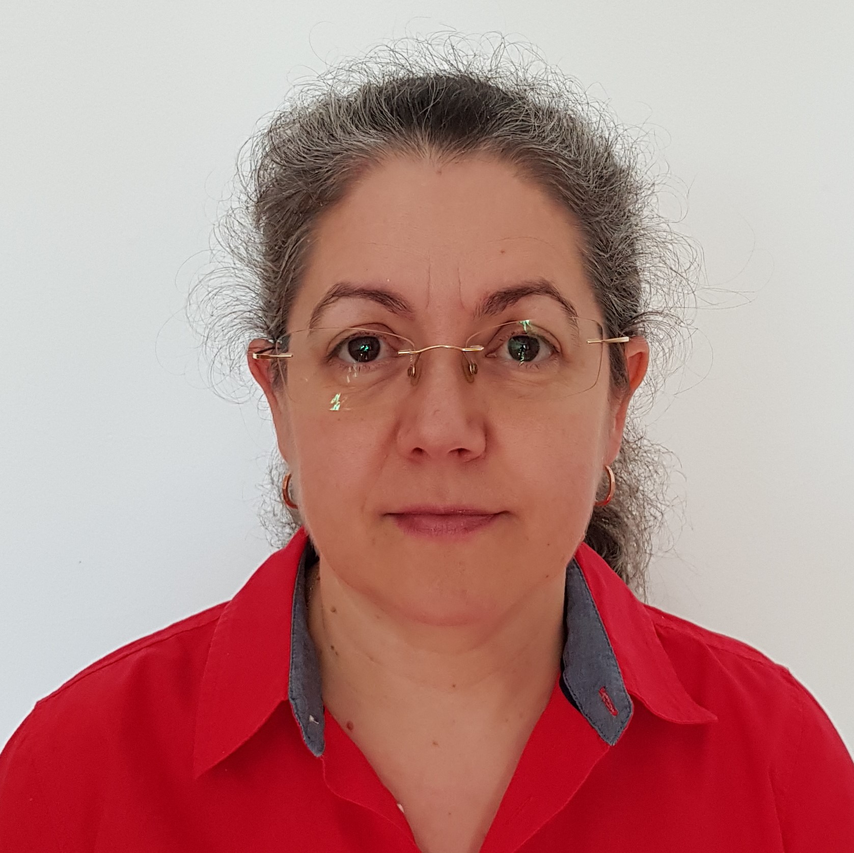
doc. dr Gordana Jakovljević is an Associate Professor at the Department of Geodesy, Faculty of Architecture, Civil Engineering and Geodesy, University of Banja Luka. She specializes in geomatics, remote sensing, and GIS applications. Her work focuses on environmental monitoring, water resource management, and disaster risk assessment, leveraging technologies like UAV imagery, LiDAR, and machine learning. She has contributed to projects such as 'Dokumentovanje arhitektonskog kulturnog nasljedja' and 'Znanje za otporno drustvo' under the Erasmus+ program. Her research includes flood risk modeling, plastic pollution mapping, and cartographic innovation. Awards and grants include EU-funded initiatives and national projects in Bosnia and Herzegovina. Education: Not explicitly listed, but inferred from academic rank and publications. Collaborates with institutions like University of Novi Sad and Union-Nikola Tesla University. Research Interests: GIS applications in environmental science, remote sensing for water quality monitoring, machine learning in geospatial analysis, and cultural heritage documentation using modern geodetic technologies. She has published extensively in journals such as Geodetski vestnik , Remote Sensing , and TEHNICKI VJESNIK . Grants and Projects: Leading or participating in projects like 'Knowledge for Resilient Society' (Erasmus+) and 'Documentation of Architectural Heritage Using Geodetic Technologies' (Ministry of Civil Affairs, BiH). Recent work includes flood risk mapping and water quality assessment in Serbia and Bosnia.