
معرفی
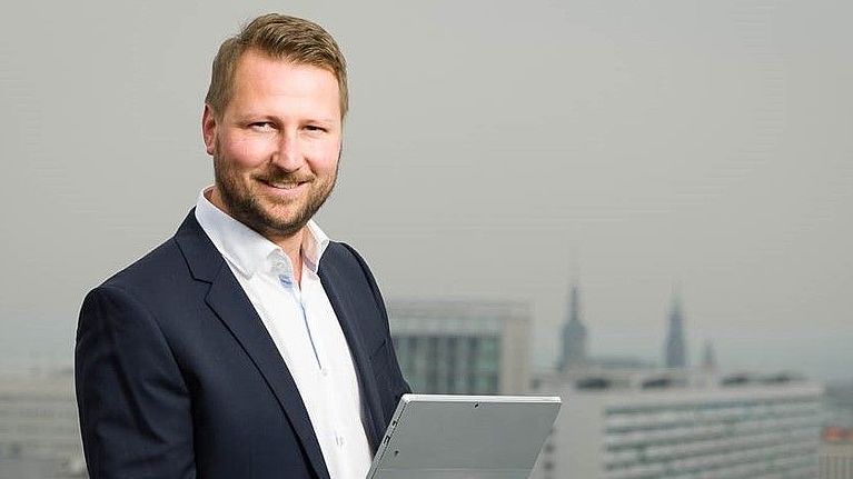
Robert Kaden is a Professor of Surveying and Geoinformatics at the University of Applied Sciences Erfurt, where he serves as Vice Dean of the Faculty of Business, Economics and Social Sciences and Head of the Geodetic Laboratory and Geodesign Center. His academic career spans teaching, research, and leadership roles focused on the integration of geospatial technologies with modern construction practices.
Education:
- Doctorate in Geoinformatics, Technical University of Munich (2014)
- Master of Geodesy and Geoinformation Science, Technical University of Berlin (2009)
- Graduate Engineer in Surveying, Dresden University of Applied Sciences (2005)
- Surveyor qualification, BSZ Hans Erlwein Dresden (1999)
Professor Kaden's research focuses on the intersection of geospatial technologies and digital construction methodologies. His work centers on Building Information Modeling (BIM), Geographic Information Systems (GIS), 3D city modeling, and their integration for urban planning and energy analysis. He has pioneered approaches for combining surveying precision with digital construction workflows, particularly in the areas of as-built modeling, geodetic coordinate systems within BIM environments, and energy demand estimation using semantic 3D city models.
His publication record reveals a clear trajectory from foundational work in 3D city modeling toward increasingly sophisticated integration of BIM and GIS technologies. Recent publications emphasize practical applications in energy planning, virtual reality in landscape architecture, and AI-based decision support systems, reflecting the evolution of geospatial technologies from data representation toward intelligent analysis and decision-making tools.
Scientific Awards:
- 2017 Geoinformatics Award from Runder Tisch GIS eV
- 2012 Oracle Spatial Excellence Award for Education and Research
- 2010 Harbert Book Prize from German Association for Surveying
- 2008 CATCON Gold Award from International Society for Photogrammetry and Remote Sensing
As Academic Advisor and Head of the Geodetic Laboratory and Geodesign Center, Professor Kaden mentors students and leads research initiatives focused on practical applications of geospatial technologies. His professional activities include significant contributions to industry guidelines, particularly the 'Guide to Geodesy and BIM,' and leadership roles in professional associations including the Round Table GIS eV, German Society for Photogrammetry, and DVW – Society for Geodesy, Geoinformation and Land Management.
His laboratory work centers on sensor-integrated solutions for construction surveying, BIM-GIS integration, and the development of standards for geospatial data exchange in the construction industry, positioning his team at the forefront of digital transformation in surveying and civil engineering practices.
Robert Kaden در سایتهای دیگر
جستوجوهای مرتبط
شاید اینها هم برایتان مناسب باشند
- AAndreas DonaubauerTechnical University of Munich · پژوهشگر
 Andreas WichmannJade University of Applied Sciences · استاد
- JJörg BlankenbachRWTH Aachen University · استاد
 Alexander BeetzStuttgart University of Applied Sciences · استاد
 Ingrid JaquemotteJade University of Applied Sciences · استاد
 Martin SchlüterMainz University of Applied Sciences · استاد