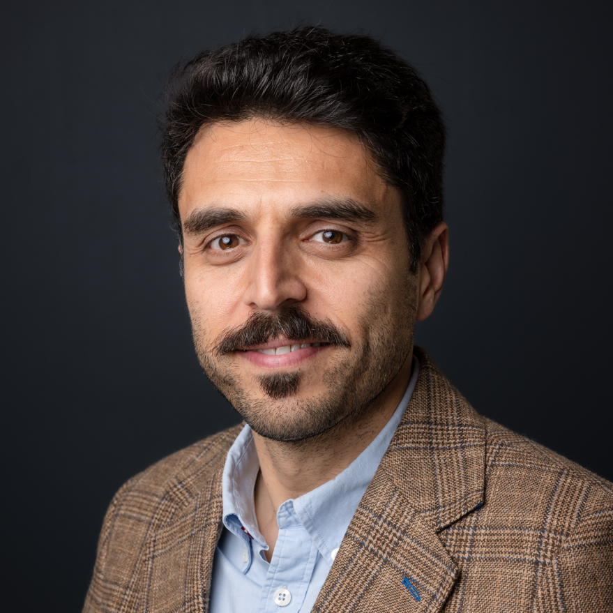
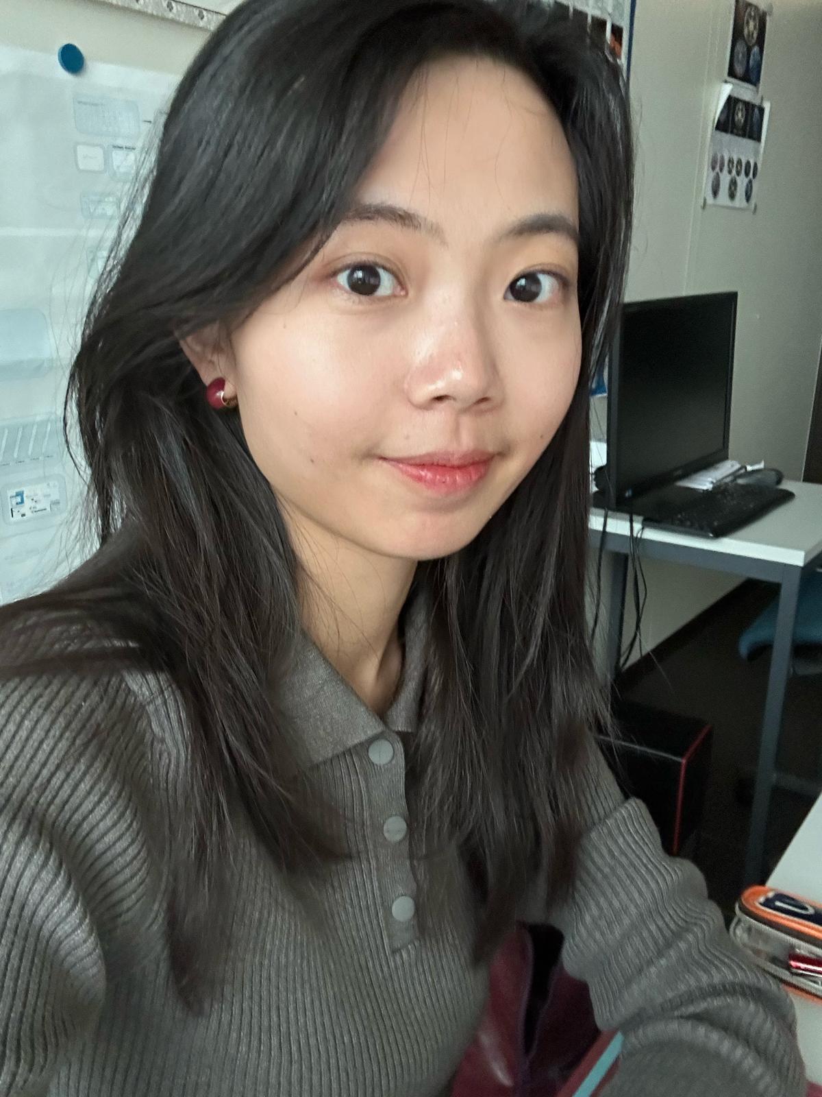
Dr. Leanne Archer is a Researcher in the School of Geographical Sciences at the University of Bristol, specializing in hydrology and climate change impacts. Her work focuses on flood risk assessment in Small Island Developing States, extreme rainfall events, and the application of convection-permitting climate models. She collaborates with experts like Prof. Paul Bates and Dr. Jonty Rougier on interdisciplinary projects addressing tropical cyclone hazards and climate adaptation strategies. Her research interests include analyzing flood exposure in vulnerable regions, soil moisture dynamics in urban flooding, and improving global flood forecasts for humanitarian operations. Archer’s publications emphasize the implications of climate change on rainfall-driven disasters, particularly in Puerto Rico and East Africa, using high-resolution climate projections to evaluate future risks under 1.5° C and 2° C warming scenarios. Recent work explores innovations like the Surface Water Ocean Topography Mission for flood modeling and evaluates the suitability of TanDEM-X data for inundation studies in island nations. Her contributions bridge environmental science with policy, aiming to enhance disaster preparedness and resilience in climate-sensitive regions.
Dr. Praneet Prakash is a Researcher in the Department of Applied Mathematics and Theoretical Physics at the University of Cambridge, working under Prof. Raymond Goldstein. His research focuses on interdisciplinary approaches combining microfluidics, microscopy, and theoretical physics to study biological systems. Key areas include microbial motility, active matter dynamics, and the interplay between physics and living systems. He utilizes experimental techniques such as microfluidics and advanced microscopy to investigate phenomena like bacterial swimming, nutrient exchange in microbial communities, and growth oscillations in filamentous fungi. His work bridges Soft Matter Physics, Statistical Mechanics, and Biophysics, with applications ranging from understanding microorganism behavior to developing biosensor technologies. Recent studies explore phototactic algae behavior, ciliary surface interactions in animalcules, and adaptive motility in marine microorganisms. Publications highlight contributions to microbial ecology, active matter systems, and biophysical modeling. While no formal awards are listed, his research has been published in high-impact journals like Journal of the Royal Society Interface and Physical Review Fluids . He is affiliated with the Biological Physics and Mechanics research group and maintains an active presence on academic platforms like Twitter and LinkedIn.
Dr. Athos Agapiou serves as an Assistant Professor at the Department of Civil Engineering and Geoinformatics, Cyprus University of Technology, where he holds the 'Geoinformatics and Earth Observation' chair. He also serves as Deputy Director of the UNESCO Chair on Digital Cultural Heritage and coordinates the EOCult Laboratory, a specialized research group focused on applying Earth Observation and Geoinformatics for archaeological research and cultural heritage landscapes. His research interests center on developing and applying innovative remote sensing technologies for cultural heritage preservation, addressing challenges posed by environmental and anthropogenic factors. Dr. Agapiou has led numerous high-profile research initiatives at European and national levels, including Horizon Europe and Horizon 2020 projects, as well as programs funded by the Cyprus Research and Innovation Foundation. His publication record demonstrates consistent output in remote sensing applications for archaeology, with particular focus on satellite image fusion, UAV technologies, spatial resolution optimization, and advanced data analysis techniques for archaeological prospection. His work bridges technical remote sensing methodologies with practical archaeological applications. Young Scientist Award from International Society for Digital Earth (2023) Young Researcher Award by Cyprus Research Awards (2018) Top 2% researcher worldwide in field (Stanford studies 2020-2024) Top three global researchers in Geoinformatics for cultural heritage (2024) Dr. Agapiou actively contributes to major research projects and collaborations, with his work influencing both academic research and practical applications in cultural heritage management. His laboratory (EOCult) serves as a hub for interdisciplinary research connecting geospatial technologies with archaeological practice.
Karsten Lambers is Professor of Digital and Computational Archaeology at the Faculty of Archaeology, Leiden University, where he leads research and teaching in the application of computational methods to archaeological data. His work integrates machine learning, remote sensing, text mining, and citizen science to advance archaeological prospection and heritage management. He is affiliated with the Department of Archaeological Sciences and plays key roles in research groups and university-wide initiatives such as SAILS and ARCHON. His research interests span Digital Archaeology , Machine Learning in Archaeology , Remote Sensing , Geoarchaeology , and Human-Environment Interaction . He investigates how computational tools can extract meaningful archaeological information from large datasets, including LiDAR imagery and excavation reports. His fieldwork spans Central Europe and Latin America, with a focus on prehistoric landscapes and cultural heritage. The analysis of his recent publications reveals a strong trend toward automated detection using deep learning (e.g., R-CNN, WODAN), named entity recognition in archaeological texts (e.g., ArcheoBERTje), and citizen science integration for data validation. His work bridges archaeology with computer science, geomatics, and environmental science, emphasizing interdisciplinary collaboration and methodological rigor. His scientific awards include: Best Thesis Award (University of Zurich, 2005) EUROPA NOSTRA Award (2020, 2022) Membership in the German Archaeological Institute (since 2022) Lambers actively supervises students and leads major research projects such as ABMA, EXALT, and Heritage Quest. He has secured substantial research funding and collaborates widely with computer scientists, geophysicists, and palaeoecologists. His teaching includes digital methods, modeling, and simulation, often linked to ongoing research. He has also contributed to open educational resources and digital textbooks in archaeology. He leads or participates in several research labs and teams, including the Digital Archaeology Research Group (which he chairs), the Heritage Quest citizen science project, and interdisciplinary teams focusing on alpine terraces and Iraqi prospection. His work emphasizes the integration of digital tools into practical archaeological workflows, advocating for complementary human-computer strategies.
Dr Olly Bartlett is a Senior Lecturer in Remote Sensing and Geography at the University of Hertfordshire , affiliated with the Department of Psychology, Sport and Geography within the School of Life and Medical Sciences. His work focuses on planetary-scale remote sensing analysis of the cryosphere, with field campaigns in Greenland, Nepal, Svalbard, and the Peruvian Andes. Education: PhD in Physical Geography (University of Exeter, 2020); MSc in Polar and Alpine Change (University of Sheffield, 2016); BSc in Physical Geography (University of Sheffield, 2015) Dr Bartlett specializes in UAV-based remote sensing and Google Earth Engine , holding a UK GVC for UAV operations. His research tracks environmental changes in polar and alpine regions, including quantifying Antarctic Peninsula greening (1986–2021) and glacier dynamics in the Himalayas and Canadian Arctic. Recent publications highlight his methodological innovations in radar surveying and supraglacial hummock morphology studies. His work bridges glaciology and geospatial analysis , focusing on climate-induced glacial retreat impacts. He supervises PhD student Lottie Pearson on pan-Arctic permafrost thaw projects and collaborates internationally on cryospheric studies.
Marina Alberti is a Professor of Urban and Environmental Planning at the University of Washington, affiliated with the Department of Urban Design and Planning. She directs the Interdisciplinary Ph.D. Program in Urban Design and Planning and leads the Urban Ecology Research Laboratory. Her expertise lies in studying the interactions between urban development patterns and ecosystem dynamics, focusing on resilience, socio-ecological innovation, and biocomplexity. Her research emphasizes interdisciplinary approaches to urban ecological problems, with a strong focus on Geographic Information Systems (GIS), land cover change, and environmental performance metrics. She has developed simulation models integrating urban development and ecological processes, supported by NSF, NOAA, and Washington state grants. NSF Biocomplexity Program Grant : Developing simulation models for urban-ecological integration. Washington State Department of Transportation Grant : Remote sensing for impervious surface estimation. NOAA/Washington Department of Ecology Grant : GIS analysis of land use and shoreline habitats. Her work spans urban planning, ecological assessment, and policy-making, with a methodological emphasis on GIS, remote sensing, and land use dynamics. She has contributed extensively to journals like International Regional Science Review , Urban Ecosystems , and BioScience , addressing topics such as urban gradients, biodiversity, and environmental sustainability. Alberti's teaching includes Urban Ecology, Environmental Planning, GIS, and advanced research design, reflecting her commitment to training the next generation of urban ecologists.
Jacob Bukoski is Assistant Professor and Director of the Forests and Climate Change graduate certificate at Oregon State University's College of Forestry. His research examines forest carbon dynamics, climate mitigation, and international forestry. Education includes: PhD in Environmental Science from UC Berkeley MS in Environmental Science from Yale University BA in Environmental Studies from UNC Chapel Hill Research focuses on carbon accumulation in forests, mangrove conservation, and climate policy integration. Teaches interdisciplinary courses on social-ecological systems and forest carbon analysis. Recent publications quantify carbon storage in global plantations and mangrove ecosystems. Current projects investigate albedo impacts on reforestation protocols and coastal conservation synergies. Directs graduate studies in Forests and Climate Change.
Dr. Farha Sattar is a Lecturer in Education (Mathematics) at the Faculty of Arts and Society, Charles Darwin University. With over thirty years of teaching experience in Mathematics, Science education, GIS, Remote Sensing, and e-Learning technologies at undergraduate and postgraduate levels, Dr. Sattar brings extensive expertise to her academic role. She holds a PhD in Geospatial Science from Charles Darwin University, focusing on Spatial Mathematical Modelling for 3D Gully Mapping and Erosion Quantification. Her educational background includes: PhD in Geospatial Science (Three Dimensional Gully Mapping and Erosion Quantification within a Geoinformatics Framework), Charles Darwin University (2012) Prior academic experience at several Asian and European universities Dr. Sattar's research spans multiple interdisciplinary fields with a strong focus on the intersection of education and technology. Her primary research interests include Mathematics Education, STEM Education, Geoscience Education, Spatial Mathematical Modelling, Drone Technology, Remote Sensing, Geographic Information Systems, and Innovative Pedagogies such as experiential learning and inquiry-based approaches. She has developed expertise in cognitive development, particularly in fostering critical and creative thinking skills through iSTEM approaches. An analysis of Dr. Sattar's recent publications reveals a consistent trajectory toward integrating emerging technologies like drones, augmented reality, and geospatial artificial intelligence into educational contexts. Her work demonstrates a progression from foundational geospatial research on erosion mapping to innovative applications in STEM education. Recent publications increasingly focus on drone technology for educational purposes, spatial data infrastructure for policy development, and computational thinking development through technology-enhanced learning. Dr. Sattar has received numerous accolades for her contributions to education and research: NT Science Week Awards – Inspired NT STEM Hero of the Year award (2021) Long Service Recognition Award (2023) Finalist, CDU Alumni Award (2023) Multiple Best Presentation Awards (2008, 2010, 2017) Australian College of Educators - 2021 College Medal Nominee As a supervisor, Dr. Sattar mentors postgraduate research students including Ayesha Farhan, who is working on "A Framework for Cognitive Development: Fostering Critical and Creative Thinking Skills, Using iSTEM Approach." She actively secures research funding through various projects such as "DBELaSTEM: Drone-Based Experiential Learning and STEM Education," "STEM_D & VR: Youth STEM Learning and Empowerment with Drones and VR," and "CodProg Drone Lab." Her research is supported by grants from NT Government projects and other external funding sources. Dr. Sattar leads the CodProg Drone Lab, an innovative research space exploring drone technology applications in education. She is a certified drone pilot and aeronautical radio operator, which enables her to bridge theoretical knowledge with practical applications. Her work with the "Flying Forward: Drones, STEM Equity, and Indigenous Empowerment" initiative demonstrates her commitment to community engagement and addressing educational disparities through technology.
Dr. Anthony Filippi is an Associate Professor and Director of Graduate Programs at Texas A&M University. His research focuses on remote sensing, geographic information systems (GIS), and machine learning applied to aquatic and terrestrial environments. He leads the Fluvial-GEOS Lab, studying riverine/floodplain systems using remote sensing and GIS technologies. Educational Background: Ph.D. in Geography, University of South Carolina (2003) M.S. in Geography, University of South Carolina B.A. in Geography, Kansas State University Research Interests: Imaging spectroscopy, hyperspectral remote sensing of rivers and coastal oceans, GIS-based modeling, data fusion, aquatic optics, and machine learning. His work addresses coastal ocean bathymetry estimation, floodplain dynamics, and applications in environmental monitoring, including hazardous waste site tracking and agricultural studies. Recent Research Trends: Recent publications highlight advancements in UAS-based image analysis, LSTM networks for floodplain classification, and environmental policy impacts on forest resources. His work integrates machine learning with remote sensing to improve ecological and geomorphological understanding. Labs/Teams: Director of the Fluvial-GEOS Lab, focusing on remote sensing and GIS applications in riverine environments.
Ali Mousavi is Assistant Professor of Iranian Archaeology in UCLA’s Department of Near Eastern Languages and Cultures and a core faculty member of the Cotsen Institute of Archaeology. A Berkeley PhD and former fellow of the Smithsonian, Maison de l’Orient and Global Heritage Fund, he has directed excavations and UNESCO World-Heritage projects at Pasargadae, Bam, Susa, Sultaniyeh and Turang Tepe and authored prize-winning volumes Ancient Iran from the Air and Persepolis: Discovery and Afterlife of a World Wonder . Education PhD, Near Eastern Studies (Archaeology), University of California, Berkeley (2005) MA, Archaeology, History and Languages of Old World Civilizations, Université Lyon II, France (1997) BA, Archaeology and Art History of Europe and the East Mediterranean, Université Lyon II, France (1996) Research interests span the archaeology and art history of Iran from the Neolithic to the early-20th century, with particular focus on Achaemenid and Sasanian monumental architecture, ancient irrigation (qanats), landscape archaeology, digital heritage, and the modern historiography of Iranian archaeology. His field projects integrate remote sensing, epigraphy, GIS and conservation science to investigate imperial capitals, rock-cut monuments and water-management systems across the Iranian plateau. Across more than 30 peer-reviewed articles and book chapters, Mousavi has re-examined dating criteria for Achaemenid stone monuments, analysed royal inscriptions as visual displays, traced medieval Persian pilgrims’ graffiti at ancient sites, and produced synthetic archaeological surveys of the Sasanian empire and the Central Alborz Iron-Age cultures. The corpus reflects a sustained engagement with primary field data, archival research and critical historiography of 19th- and 20th-century excavations. Selected honours Ehsan Yarshater Book Award (2014) Iranian Ministry of Culture World Book Award (2014) Leon Levy – Shelby White publication grant (2008) UNESCO award for World-Heritage nomination files (2003) Iran Heritage Foundation field-work award (2003) Guitty Azarpay Fellowship, UC Berkeley (2000-2003) IFRI Fellowship, Paris (1998) At UCLA he offers undergraduate courses “Archaeology of Iran” and “Ancient Cities of Iran (4000 BC-AD 1900)” and mentors graduate researchers in the Cotsen Institute. His grants and fellowships from NSF-equivalent European and American agencies underwrite both field seasons and publication of critical archaeological corpora, while his service on Iranian, UNESCO and international heritage boards continues to link scholarly output with heritage-management policy.
Bharat Lohani is a Professor at the Department of Civil Engineering in Indian Institute of Technology Kanpur . His work focuses on Geoinformatics , utilizing LiDAR and GIS for 3D modeling and spatial analysis. Education : PhD (University of Reading, UK), ME (IIT Roorkee), BE (MMM Engineering College Gorakhpur) Research Interests : LiDAR simulation, motion correction in scanning, flood propagation modeling, historical urban mapping, GPS signal analysis, agricultural land consolidation Article Trends : His publications emphasize LiDAR data processing , sensor integration , and optimization algorithms for geospatial applications. Scientific Awards : ISRS National Award (2012), Best Paper at INCA Congress (2012), Silver Award at ISPRS (2008) Advising : Mentored 8+ students in LiDAR and spatial data analysis Labs/Teams : Leads a research group at IITK including Aswani Kumar Munnangi and Salil Goel, affiliated with the Wadhwani School of AI & Intelligent Systems .
Prof. Christian Heipke is a distinguished academic serving as Dean of the Faculty of Civil Engineering and Geodetic Science at Leibniz University Hannover, Germany. He also holds the position of Executive Director at the Institute of Photogrammetry and GeoInformation (IPI), one of the leading research institutions in geospatial sciences within the faculty. His leadership extends across multiple committees including the Curriculum and Teaching Committee, Admissions and Examination Boards for Geodetic Science and Geoinformatics, and Navigation and Environmental Robotics. As a Professor at IPI, he maintains active research while overseeing significant academic and administrative responsibilities at the university. Professor Heipke's research spans multiple domains within geospatial sciences, with particular emphasis on: Advanced photogrammetric techniques and algorithms Remote sensing applications for environmental monitoring Computer vision approaches for geospatial data analysis Urban development monitoring using satellite imagery Machine learning applications in geoinformatics Disaster prediction and management systems His recent scholarly output reveals a strong focus on integrating cutting-edge computer vision and deep learning techniques with traditional photogrammetric methods. Analysis of his 15 most recent publications shows a clear trajectory toward more sophisticated AI-driven approaches for processing geospatial data, with particular attention to time-series analysis, uncertainty quantification, and multi-view systems. His work bridges theoretical advancements with practical applications in flood forecasting, deforestation monitoring, urban planning, and construction materials analysis. The geographic scope of his research has expanded significantly, with recent projects focusing on international case studies in the Philippines and tropical regions. Professor Heipke leads the Institute of Photogrammetry and GeoInformation, a major research hub that has celebrated 75 years of contributions to the field. His leadership extends to the Graduiertenkolleg 2159: "Integrity and Collaboration in Dynamic Sensor Networks," where he serves as a professor overseeing doctoral research. The institute maintains state-of-the-art facilities for processing satellite imagery, aerial photography, and developing novel algorithms for geospatial data analysis. Under his direction, the institute has strengthened its international collaborations and interdisciplinary research approaches, particularly in addressing Sustainable Development Goals through geospatial technologies.
Matthew D. Potts is the S.J. Hall Chair in Forest Economics and Professor at UC Berkeley's Department of Environmental Science, Policy, & Management. He also serves as Associate Director for Sustainable Development at the Blum Center for Developing Economies. With interdisciplinary training in mathematics, ecology, and economics, his research focuses on nature-based climate solutions and ecosystem service co-production. Research addresses carbon sequestration through forest management, biodiversity conservation, land use planning, and sustainable development in tropical ecosystems. Recent work examines cost-effectiveness of reforestation, climate-driven migration patterns, and plantation carbon modeling. Publications demonstrate strong focus on quantitative analysis of land-use impacts, with methodological innovations in remote sensing applications and spatial modeling for carbon accounting. Awards include recognition for young faculty research and leadership in international environmental assessments. Leads the Potts Research Group, mentoring graduate students working on tropical ecology, restoration, and climate adaptation projects.
Associate Professor Mohsen Kalantari is a Geospatial Engineering academic at the University of New South Wales (UNSW) School of Civil and Environmental Engineering , with concurrent roles as co-founder of the startup Faramoon . His career spans roles at the University of Melbourne's Department of Infrastructure Engineering and Victorian government's land administration initiatives through DELWP. Education : PhD in Geomatics Engineering (2008, University of Melbourne), Master of GIS Engineering (2004), Bachelor of Surveying Engineering (2001) His research bridges geospatial engineering with construction automation , focusing on 3D cadastre , BIM-GIS integration , and smart cities . Recent publications show trends in underground land administration , digital twins , and LADM standard implementations . Scientific Awards : National educational recognition (2019), Victorian educational grants (2018), and prestigious fellowships (2012) As a supervisor , he guides PhD candidates in topics ranging from BIM for waste management to underground cadastral systems . His industry engagement includes partnerships with the United Nations , Open Geospatial Consortium , and Singapore Land Authority .
Sidi Wu is a Researcher affiliated with ETH Zürich's Institute of Cartography and Geoinformatics. Their primary role is as Staff of the Professorship for Cartography, contributing to academic research and technical operations within the department. They are based at HIL G 23.2, Stefano-Franscini-Platz 5 in Zürich, Switzerland, and can be reached at sidiwu@ethz.ch. Research interests center on advancing AI-driven cartographic methods, historical map analysis, and environmental spatial dynamics. Specific focuses include generative AI applications in map-making, semantic segmentation of historical documents, and leveraging digitized maps for ecosystem studies. They also explore steganography in image translation and cross-domain adaptation techniques for geospatial data. Recent work emphasizes innovations in automated map storytelling systems, spatio-temporal context modeling using transformers, and weakly supervised learning approaches for map segmentation. Their studies frequently bridge cartography with environmental science disciplines like hydrology and urban morphology. No scientific awards or grants are explicitly listed in the provided information. While no advisees are documented here, their research collaborations likely involve student contributions. They are part of the core team at the Institute of Cartography and Geoinformatics, contributing to cutting-edge projects in geomatics and computational cartography.