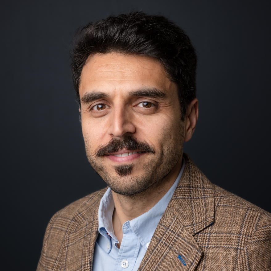
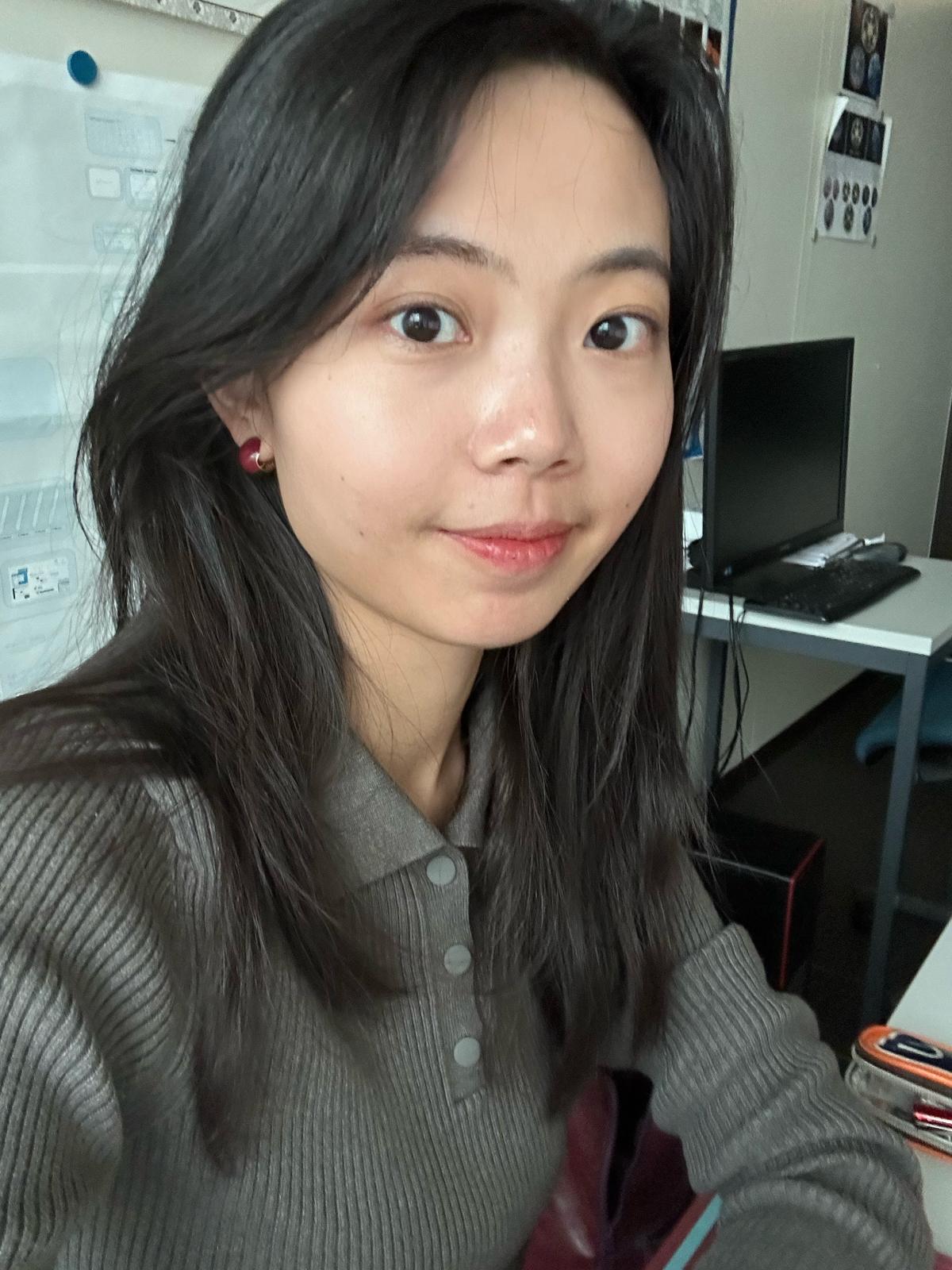
Prof. Dr. Thomas Brinkhoff is Chair of the Institute Board and Chair of Geoinformatics at Oldenburg University of Applied Sciences. He leads the Institute for Applied Photogrammetry and Geoinformatics (IAPG) and contributes to institutions like the Association for the Promotion of Geoinformatics in Northern Germany (GiN e.V.) and the Oldenburg Research and Development Institute for Computer Science (OFFIS e.V.). Education: Diploma in Computer Science (Informatik), Universität Bremen (1990) Doctorate in Computer Science (Dr. rer. nat.), Ludwig Maximilian University of Munich (1994) Brinkhoff's research spans geodatabase systems, spatiotemporal data processing, geosensor analytics, and location-based services. His work addresses Volunteered Geographic Information (VGI), web-based geospatial visualization, and mobile data integration, with applications in traffic management and forensic science. Recent projects include ProSaDi (Digital Provenance and Collection Research) and contributions to the Laboratory for optical 3D metrology . He has served on program committees for ACM SIGSPATIAL (2002-2019), AGILE conferences (2010-2025), and editorial boards of journals like GeoInformatica and TGIS. Notable Lectures: 2024: Forensic applications of tachograph data 2023: Geoinformatics in homicide investigations 2022: Spatiotemporal analysis for sustainability projects 2015: Open geodata standards at FOSSGIS 2014: Mobile sensor data processing
Dr. Olle Järv is an Academy Research Fellow at the University of Helsinki's Department of Geosciences and Geography. As Docent in Human Geography and holder of a joint PhD from University of Tartu and Ghent University, his research focuses on leveraging big data sources like mobile phone records and social media for analyzing human mobility patterns across European cross-border regions. Key research areas: Spatial segregation, urban diversity, transnationalism, and pandemic-induced mobility changes Current projects: BORDERSPACE (2020-2025) – Mapping transnational spaces through mobility data MOBI-TWIN (2023-2026) – Regional mobility patterns in twin transitions WinWin4WorkLife (2024-2027) – Sustainable cross-border remote work His methodological innovations include developing tools for analyzing social media data and mobile phone records to study urban dynamics. Recent recognitions include the 2024 Research Council of Finland Award and 2021 Best Paper Award from Journal of Location Based Services.
Karsten Lambers is Professor of Digital and Computational Archaeology at the Faculty of Archaeology, Leiden University, where he leads research and teaching in the application of computational methods to archaeological data. His work integrates machine learning, remote sensing, text mining, and citizen science to advance archaeological prospection and heritage management. He is affiliated with the Department of Archaeological Sciences and plays key roles in research groups and university-wide initiatives such as SAILS and ARCHON. His research interests span Digital Archaeology , Machine Learning in Archaeology , Remote Sensing , Geoarchaeology , and Human-Environment Interaction . He investigates how computational tools can extract meaningful archaeological information from large datasets, including LiDAR imagery and excavation reports. His fieldwork spans Central Europe and Latin America, with a focus on prehistoric landscapes and cultural heritage. The analysis of his recent publications reveals a strong trend toward automated detection using deep learning (e.g., R-CNN, WODAN), named entity recognition in archaeological texts (e.g., ArcheoBERTje), and citizen science integration for data validation. His work bridges archaeology with computer science, geomatics, and environmental science, emphasizing interdisciplinary collaboration and methodological rigor. His scientific awards include: Best Thesis Award (University of Zurich, 2005) EUROPA NOSTRA Award (2020, 2022) Membership in the German Archaeological Institute (since 2022) Lambers actively supervises students and leads major research projects such as ABMA, EXALT, and Heritage Quest. He has secured substantial research funding and collaborates widely with computer scientists, geophysicists, and palaeoecologists. His teaching includes digital methods, modeling, and simulation, often linked to ongoing research. He has also contributed to open educational resources and digital textbooks in archaeology. He leads or participates in several research labs and teams, including the Digital Archaeology Research Group (which he chairs), the Heritage Quest citizen science project, and interdisciplinary teams focusing on alpine terraces and Iraqi prospection. His work emphasizes the integration of digital tools into practical archaeological workflows, advocating for complementary human-computer strategies.
Professor Andrew Hudson-Smith is the Director of the Bartlett Centre for Advanced Spatial Analysis (CASA) at University College London (UCL), where he holds the title of Professor of Digital Urban Systems. He leads UCL's academic and applied research in smart cities, digital twins, and urban informatics. His roles include Editor-in-Chief of the Future Internet Journal and academic lead for the Smart Queen Elizabeth Park project. He contributes to strategic initiatives such as the Greater London Authority Smart London Board and EPSRC Digital Economy Programme Advisory Board. Education: PhD (2003), MSc (1996) from UCL; BSc in Geography from the University of Plymouth (1992). Research focuses on digital urban systems, IoT applications, sustainable urban planning, and cyberphysical systems. Notable projects include urban heat island monitoring, participatory planning platforms, and metaverse-driven urban design. His work bridges technology, art, and public engagement, exemplified by initiatives like Tales of Things and the Haggle-O-Tron. Recent publications emphasize digital twins, metaverse urbanism, and IoT integration in urban environments. Awards include a Fellowship of the Royal Society of Arts. His work addresses SDGs 3 (Good Health) and 11 (Sustainable Cities), with a focus on equitable smart city development and public space innovation.
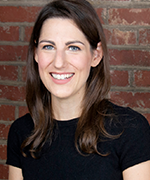
Clio Andris is an Associate Professor at Georgia Tech, jointly appointed in the School of City and Regional Planning and the School of Interactive Computing. She directs the Friendly Cities Lab, focusing on mathematical models of social networks applied to urban planning, transportation, and geography. Her work integrates spatial analysis with visualization, emphasizing interdisciplinary collaboration. Education and Career: Andris earned a PhD in Urban Information Systems from MIT (2011), where she was an NDSEG Fellow. She held postdoctoral positions at Singapore-MIT Alliance for Research and Technology and the Santa Fe Institute. Prior to Georgia Tech, she was a faculty member at Penn State’s Department of Geography, affiliated with the GeoVISTA Center. Research Focus: Her research bridges social networks, geovisualization, and urban informatics. Key areas include spatial social network analysis, GIS applications for urban policy, and the impact of digital tools on civic engagement. She has developed innovative visual analytics tools like SNoMaN and ROBIN to democratize spatial data exploration. Awards: She received the NSF CAREER Award (2021) and NDSEG Fellowship (2011). Her lab is affiliated with the Center for Spatial Planning Analytics and Visualization (CSPAV) and the Information Visualization Lab. Labs and Collaborations: The Friendly Cities Lab focuses on socially just urban design through computational methods. Her work addresses issues like food security networks, pandemic impacts on biodiversity, and community mapping for activism. Grants and Outreach: Her NSF-funded projects emphasize public good applications, such as real-time pandemic risk communication and educational tools for migration data. She actively collaborates with non-profits and policymakers to translate research into actionable urban strategies.
Prof. dr. Nico Van de Weghe is a full Professor of GIScience at the University of Ghent (UGent), affiliated with the CartoGIS research unit. His work bridges computer science, social science, and natural science through geospatial information studies, focusing on enabling machines to reason spatially (GeoAI). Since 2004, he has specialized in knowledge-based AI, particularly spatiotemporal reasoning and moving object analysis, with applications in animal behavior, criminology, healthcare, mobility, and sports. Van de Weghe's research emphasizes hybrid GeoAI systems combining knowledge-driven and data-driven approaches. Keywords include GeoAI, GIScience, Spatiotemporal Analysis, Moving Objects, and Data Mining. Recent publications highlight urban road network analysis, hybrid trajectory modeling, BIM semantic enrichment, and cycling safety studies using virtual reality.
Dr Olly Bartlett is a Senior Lecturer in Remote Sensing and Geography at the University of Hertfordshire , affiliated with the Department of Psychology, Sport and Geography within the School of Life and Medical Sciences. His work focuses on planetary-scale remote sensing analysis of the cryosphere, with field campaigns in Greenland, Nepal, Svalbard, and the Peruvian Andes. Education: PhD in Physical Geography (University of Exeter, 2020); MSc in Polar and Alpine Change (University of Sheffield, 2016); BSc in Physical Geography (University of Sheffield, 2015) Dr Bartlett specializes in UAV-based remote sensing and Google Earth Engine , holding a UK GVC for UAV operations. His research tracks environmental changes in polar and alpine regions, including quantifying Antarctic Peninsula greening (1986–2021) and glacier dynamics in the Himalayas and Canadian Arctic. Recent publications highlight his methodological innovations in radar surveying and supraglacial hummock morphology studies. His work bridges glaciology and geospatial analysis , focusing on climate-induced glacial retreat impacts. He supervises PhD student Lottie Pearson on pan-Arctic permafrost thaw projects and collaborates internationally on cryospheric studies.
Xi Gong is an Associate Professor in the Department of Biobehavioral Health and the Institute of Computing and Data Sciences at Pennsylvania State University, where he leads the Gong Lab. His research focuses on Geospatial Data Science, integrating GIScience, computational methods, and statistical analysis to study environmental health and social dynamics. He holds a PhD in Geographic Information Science from Texas State University, an M.Sc. from the University of Chinese Academy of Sciences, and a B.Eng. from Wuhan University. Dr. Gong's research interests include spatio-temporal data mining, environmental exposure modeling, and visual analytics for big data. His work bridges Environmental Health Science (EHS) and Spatially Integrated Social Science (SISS), addressing public health concerns through geospatial modeling and interdisciplinary collaboration. He currently accepts graduate students and postdoctoral scholars for projects in Geospatial Data Science and EHS. Education: PhD (2016, Texas State University), M.Sc. (2011, University of Chinese Academy of Sciences), B.Eng. (2008, Wuhan University) Labs/Teams: Director of Gong Lab, focused on geospatial big data analysis for health and environmental studies Advising: Mentors PhD and MS students in Biobehavioral Health and related fields
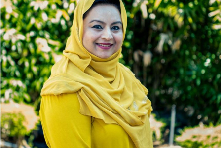
Dr. Farha Sattar is a Lecturer in Education (Mathematics) at the Faculty of Arts and Society, Charles Darwin University. With over thirty years of teaching experience in Mathematics, Science education, GIS, Remote Sensing, and e-Learning technologies at undergraduate and postgraduate levels, Dr. Sattar brings extensive expertise to her academic role. She holds a PhD in Geospatial Science from Charles Darwin University, focusing on Spatial Mathematical Modelling for 3D Gully Mapping and Erosion Quantification. Her educational background includes: PhD in Geospatial Science (Three Dimensional Gully Mapping and Erosion Quantification within a Geoinformatics Framework), Charles Darwin University (2012) Prior academic experience at several Asian and European universities Dr. Sattar's research spans multiple interdisciplinary fields with a strong focus on the intersection of education and technology. Her primary research interests include Mathematics Education, STEM Education, Geoscience Education, Spatial Mathematical Modelling, Drone Technology, Remote Sensing, Geographic Information Systems, and Innovative Pedagogies such as experiential learning and inquiry-based approaches. She has developed expertise in cognitive development, particularly in fostering critical and creative thinking skills through iSTEM approaches. An analysis of Dr. Sattar's recent publications reveals a consistent trajectory toward integrating emerging technologies like drones, augmented reality, and geospatial artificial intelligence into educational contexts. Her work demonstrates a progression from foundational geospatial research on erosion mapping to innovative applications in STEM education. Recent publications increasingly focus on drone technology for educational purposes, spatial data infrastructure for policy development, and computational thinking development through technology-enhanced learning. Dr. Sattar has received numerous accolades for her contributions to education and research: NT Science Week Awards – Inspired NT STEM Hero of the Year award (2021) Long Service Recognition Award (2023) Finalist, CDU Alumni Award (2023) Multiple Best Presentation Awards (2008, 2010, 2017) Australian College of Educators - 2021 College Medal Nominee As a supervisor, Dr. Sattar mentors postgraduate research students including Ayesha Farhan, who is working on "A Framework for Cognitive Development: Fostering Critical and Creative Thinking Skills, Using iSTEM Approach." She actively secures research funding through various projects such as "DBELaSTEM: Drone-Based Experiential Learning and STEM Education," "STEM_D & VR: Youth STEM Learning and Empowerment with Drones and VR," and "CodProg Drone Lab." Her research is supported by grants from NT Government projects and other external funding sources. Dr. Sattar leads the CodProg Drone Lab, an innovative research space exploring drone technology applications in education. She is a certified drone pilot and aeronautical radio operator, which enables her to bridge theoretical knowledge with practical applications. Her work with the "Flying Forward: Drones, STEM Equity, and Indigenous Empowerment" initiative demonstrates her commitment to community engagement and addressing educational disparities through technology.
Bharat Lohani is a Professor at the Department of Civil Engineering in Indian Institute of Technology Kanpur . His work focuses on Geoinformatics , utilizing LiDAR and GIS for 3D modeling and spatial analysis. Education : PhD (University of Reading, UK), ME (IIT Roorkee), BE (MMM Engineering College Gorakhpur) Research Interests : LiDAR simulation, motion correction in scanning, flood propagation modeling, historical urban mapping, GPS signal analysis, agricultural land consolidation Article Trends : His publications emphasize LiDAR data processing , sensor integration , and optimization algorithms for geospatial applications. Scientific Awards : ISRS National Award (2012), Best Paper at INCA Congress (2012), Silver Award at ISPRS (2008) Advising : Mentored 8+ students in LiDAR and spatial data analysis Labs/Teams : Leads a research group at IITK including Aswani Kumar Munnangi and Salil Goel, affiliated with the Wadhwani School of AI & Intelligent Systems .
Claudia R. Binder is Full Professor at EPFL's School of Architecture, Civil and Environmental Engineering, leading the Laboratory for Human-Environment Relations in Urban Systems (HERUS) since 2016. Previously, she held professorships at the University of Munich (2011-2016), University of Graz (2009-2011), and University of Zurich (2006-2009). She served as Dean of EPFL's ENAC School from 2020-2023 and holds advisory roles with Swiss federal institutions including the Mercator Foundation since 2024. Her academic foundation includes a Biochemistry degree and PhD in Environmental Sciences from ETH Zurich, followed by postdoctoral research at the University of Maryland. This interdisciplinary background underpins her research approach spanning natural and social sciences. Professor Binder's work centers on urban sustainability transitions, examining urban metabolism dynamics through systems science frameworks. She investigates energy-food-transport interdependencies in cities using transdisciplinary methods that integrate material flow analysis, spatial modeling, and socio-technical assessments. Her research particularly emphasizes regulatory mechanisms and transformation drivers in human-environment systems, with case studies across Swiss and global urban contexts. Recent publications reveal evolving focus from foundational urban metabolism studies toward actionable transition strategies. Her 2024-2025 work increasingly addresses social tipping dynamics, circular decarbonization, and spatially explicit waste management, demonstrating methodological innovation through geo-referenced material flow analysis and participatory backcasting frameworks. Key thematic clusters include energy innovation diffusion, plastic waste governance, and demand-side flexibility in residential systems. She actively mentors 7 current PhD candidates while supervising 11 graduates since 2018, with research spanning urban metabolism modeling, sustainability assessment, and transition governance. Her leadership extends to Swiss National Science Foundation committees and National Research Program 71 on energy consumption management. At EPFL, she directs the HERUS laboratory which develops the Sustainability Solution Space methodology for urban assessment. The lab operates at the intersection of data science, environmental engineering, and social theory, maintaining strong field connections in Switzerland, Indonesia, and Germany for empirical validation of transition models.
Prof. Christian Heipke is a distinguished academic serving as Dean of the Faculty of Civil Engineering and Geodetic Science at Leibniz University Hannover, Germany. He also holds the position of Executive Director at the Institute of Photogrammetry and GeoInformation (IPI), one of the leading research institutions in geospatial sciences within the faculty. His leadership extends across multiple committees including the Curriculum and Teaching Committee, Admissions and Examination Boards for Geodetic Science and Geoinformatics, and Navigation and Environmental Robotics. As a Professor at IPI, he maintains active research while overseeing significant academic and administrative responsibilities at the university. Professor Heipke's research spans multiple domains within geospatial sciences, with particular emphasis on: Advanced photogrammetric techniques and algorithms Remote sensing applications for environmental monitoring Computer vision approaches for geospatial data analysis Urban development monitoring using satellite imagery Machine learning applications in geoinformatics Disaster prediction and management systems His recent scholarly output reveals a strong focus on integrating cutting-edge computer vision and deep learning techniques with traditional photogrammetric methods. Analysis of his 15 most recent publications shows a clear trajectory toward more sophisticated AI-driven approaches for processing geospatial data, with particular attention to time-series analysis, uncertainty quantification, and multi-view systems. His work bridges theoretical advancements with practical applications in flood forecasting, deforestation monitoring, urban planning, and construction materials analysis. The geographic scope of his research has expanded significantly, with recent projects focusing on international case studies in the Philippines and tropical regions. Professor Heipke leads the Institute of Photogrammetry and GeoInformation, a major research hub that has celebrated 75 years of contributions to the field. His leadership extends to the Graduiertenkolleg 2159: "Integrity and Collaboration in Dynamic Sensor Networks," where he serves as a professor overseeing doctoral research. The institute maintains state-of-the-art facilities for processing satellite imagery, aerial photography, and developing novel algorithms for geospatial data analysis. Under his direction, the institute has strengthened its international collaborations and interdisciplinary research approaches, particularly in addressing Sustainable Development Goals through geospatial technologies.
Associate Professor Mohsen Kalantari is a Geospatial Engineering academic at the University of New South Wales (UNSW) School of Civil and Environmental Engineering , with concurrent roles as co-founder of the startup Faramoon . His career spans roles at the University of Melbourne's Department of Infrastructure Engineering and Victorian government's land administration initiatives through DELWP. Education : PhD in Geomatics Engineering (2008, University of Melbourne), Master of GIS Engineering (2004), Bachelor of Surveying Engineering (2001) His research bridges geospatial engineering with construction automation , focusing on 3D cadastre , BIM-GIS integration , and smart cities . Recent publications show trends in underground land administration , digital twins , and LADM standard implementations . Scientific Awards : National educational recognition (2019), Victorian educational grants (2018), and prestigious fellowships (2012) As a supervisor , he guides PhD candidates in topics ranging from BIM for waste management to underground cadastral systems . His industry engagement includes partnerships with the United Nations , Open Geospatial Consortium , and Singapore Land Authority .
Fabio Miranda is an Assistant Professor at the Department of Computer Science, University of Illinois at Chicago (UIC) . His research bridges visualization , machine learning , data management , and computer graphics to enable interactive visual analysis of large-scale urban datasets . He has developed systems like UrbanRama (for VR navigation) and The Urban Toolkit (a grammar-based framework), which have been deployed in academia, industry, and government agencies. Education: Ph.D., Computer Science , New York University (2018) M.S., Computer Science , Pontifical Catholic University of Rio de Janeiro (2011) B.S., Computer Science , Federal University of Minas Gerais (2009) Research Interests center on urban visual analytics , 3D analytics , and machine learning for accessibility . His work addresses challenges like sunlight access , sidewalk quality assessment , and commuting flow modeling , often collaborating with urban planners, climate scientists, and occupational therapists. Scientific Recognition includes awards at IEEE VIS , SIBGRAPI , and SIGMOD . His research is funded by NSF , NIH , DOT , and DPI , with media coverage in The New York Times , The Economist , and Architectural Digest . Teaching includes courses like CS 524: Big Data Visualization and Analytics and CS 424: Visualization and Visual Analytics . He emphasizes web-based systems, dataflow frameworks, and interdisciplinary collaboration, with open positions for PhD , MSc , and undergraduate researchers .
Sidi Wu is a Researcher affiliated with ETH Zürich's Institute of Cartography and Geoinformatics. Their primary role is as Staff of the Professorship for Cartography, contributing to academic research and technical operations within the department. They are based at HIL G 23.2, Stefano-Franscini-Platz 5 in Zürich, Switzerland, and can be reached at sidiwu@ethz.ch. Research interests center on advancing AI-driven cartographic methods, historical map analysis, and environmental spatial dynamics. Specific focuses include generative AI applications in map-making, semantic segmentation of historical documents, and leveraging digitized maps for ecosystem studies. They also explore steganography in image translation and cross-domain adaptation techniques for geospatial data. Recent work emphasizes innovations in automated map storytelling systems, spatio-temporal context modeling using transformers, and weakly supervised learning approaches for map segmentation. Their studies frequently bridge cartography with environmental science disciplines like hydrology and urban morphology. No scientific awards or grants are explicitly listed in the provided information. While no advisees are documented here, their research collaborations likely involve student contributions. They are part of the core team at the Institute of Cartography and Geoinformatics, contributing to cutting-edge projects in geomatics and computational cartography.