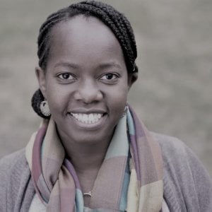
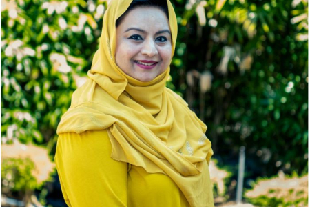
Dr Peninah Murage is an Assistant Professor at the London School of Hygiene & Tropical Medicine in the Department of Public Health, Environments and Society under the Faculty of Public Health and Policy. She specializes in environmental epidemiology with a PhD in Health Geography and focuses on health impacts of environmental changes, particularly climate change mitigation and adaptation strategies. Affiliation: Centre on Climate Change and Planetary Health Her research explores climate change effects on health outcomes like heat-related mortality, cardiovascular diseases, and cognitive development in children. She integrates GIS/spatial analysis with public health and policy frameworks to identify nature-based solutions for sustainable development. Current work examines systemic inequalities in heat risk exposure and interventions such as tree-based strategies in low-income settings. Key grants include: Health Protection Research Unit on Climate Change and Health Security (2025-2030, NIHR) Climate Change and Non-Communicable Diseases in Senegal (2024-2027) Pathfinder 2: Accelerating Climate Action for Health (2023-2026) She actively contributes to the Lancet Pathfinder Commission and serves on the Executive Committee of the International Society of Environmental Epidemiology (African Chapter).
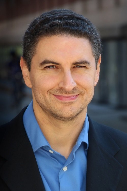
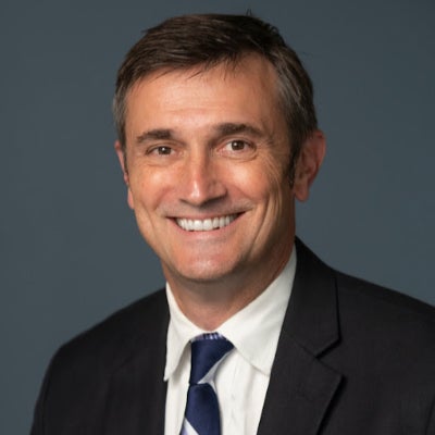
Prof. Dr. Thomas Brinkhoff is Chair of the Institute Board and Chair of Geoinformatics at Oldenburg University of Applied Sciences. He leads the Institute for Applied Photogrammetry and Geoinformatics (IAPG) and contributes to institutions like the Association for the Promotion of Geoinformatics in Northern Germany (GiN e.V.) and the Oldenburg Research and Development Institute for Computer Science (OFFIS e.V.). Education: Diploma in Computer Science (Informatik), Universität Bremen (1990) Doctorate in Computer Science (Dr. rer. nat.), Ludwig Maximilian University of Munich (1994) Brinkhoff's research spans geodatabase systems, spatiotemporal data processing, geosensor analytics, and location-based services. His work addresses Volunteered Geographic Information (VGI), web-based geospatial visualization, and mobile data integration, with applications in traffic management and forensic science. Recent projects include ProSaDi (Digital Provenance and Collection Research) and contributions to the Laboratory for optical 3D metrology . He has served on program committees for ACM SIGSPATIAL (2002-2019), AGILE conferences (2010-2025), and editorial boards of journals like GeoInformatica and TGIS. Notable Lectures: 2024: Forensic applications of tachograph data 2023: Geoinformatics in homicide investigations 2022: Spatiotemporal analysis for sustainability projects 2015: Open geodata standards at FOSSGIS 2014: Mobile sensor data processing
Dr. Olle Järv is an Academy Research Fellow at the University of Helsinki's Department of Geosciences and Geography. As Docent in Human Geography and holder of a joint PhD from University of Tartu and Ghent University, his research focuses on leveraging big data sources like mobile phone records and social media for analyzing human mobility patterns across European cross-border regions. Key research areas: Spatial segregation, urban diversity, transnationalism, and pandemic-induced mobility changes Current projects: BORDERSPACE (2020-2025) – Mapping transnational spaces through mobility data MOBI-TWIN (2023-2026) – Regional mobility patterns in twin transitions WinWin4WorkLife (2024-2027) – Sustainable cross-border remote work His methodological innovations include developing tools for analyzing social media data and mobile phone records to study urban dynamics. Recent recognitions include the 2024 Research Council of Finland Award and 2021 Best Paper Award from Journal of Location Based Services.
Michael McAlpine is a Professor in the Mechanical Engineering department at the University of Minnesota . He also holds affiliations with the Biomedical Engineering and Electrical and Computer Engineering departments. His research focuses on 3D printing functional materials & devices , Nanoscale inks , Biomedical devices , Bioelectronics , and Flexible Microsystems . Research Interests : 3D Printing, Biomedical Engineering, Nanotechnology, Flexible Electronics, Microfluidics Labs : ME 361/363 Contact : mcalpine@umn.edu , (612) 626-3303, ME 117 Recent Research Trends include 3D Printed Biomedical Devices , Flexible Electronics , and Bioprinting Applications . His work spans from Spinal Organoid Formation to Programmable Drug Release Capsules . Scientific Award : Circulation Research 2020 Best Manuscript Award
Allison Koenecke is an Assistant Professor of Information Science at Cornell Tech and a field faculty member in Computer Science at Cornell University. Previously, she was a postdoctoral researcher at Microsoft Research New England and completed her PhD at Stanford University’s Institute for Computational & Mathematical Engineering. Her research focuses on algorithmic fairness, computational social science, and causal inference in public health, addressing disparities in automated systems like speech recognition and policy decision-making. Education : PhD, Stanford Institute for Computational & Mathematical Engineering MA/MS, Stanford University BA/BS, Massachusetts Institute of Technology Research Interests : Dr. Koenecke’s work bridges economics and computer science, emphasizing equity in AI systems. Key areas include: Algorithmic bias in speech recognition (e.g., racial disparities in voice assistants) Fairness in policy tools like environmental justice data systems Causal analysis in public health interventions Ethical implications of large language models in education Media & Impact : Her research has been featured in outlets like New York Times , Science , and Scientific American . Notable studies include exposing racial gaps in speech-to-text systems and advocating for inclusive dataset development. She also explores societal impacts of AI in education and governance. Awards : Sloan Research Fellow in Computer Science Forbes 30 Under 30 in Science NSF Awards Cornell CIS Teaching Excellence Award (2024) Teaching & Outreach : She teaches courses like Designing Fair Algorithms and Data Science for Global Development , emphasizing interdisciplinary collaboration. Her PhD Professionalization course addresses hidden curricula in academia. She advises on AI ethics for nonprofits, tech companies, and government agencies.
Professor Andrew Hudson-Smith is the Director of the Bartlett Centre for Advanced Spatial Analysis (CASA) at University College London (UCL), where he holds the title of Professor of Digital Urban Systems. He leads UCL's academic and applied research in smart cities, digital twins, and urban informatics. His roles include Editor-in-Chief of the Future Internet Journal and academic lead for the Smart Queen Elizabeth Park project. He contributes to strategic initiatives such as the Greater London Authority Smart London Board and EPSRC Digital Economy Programme Advisory Board. Education: PhD (2003), MSc (1996) from UCL; BSc in Geography from the University of Plymouth (1992). Research focuses on digital urban systems, IoT applications, sustainable urban planning, and cyberphysical systems. Notable projects include urban heat island monitoring, participatory planning platforms, and metaverse-driven urban design. His work bridges technology, art, and public engagement, exemplified by initiatives like Tales of Things and the Haggle-O-Tron. Recent publications emphasize digital twins, metaverse urbanism, and IoT integration in urban environments. Awards include a Fellowship of the Royal Society of Arts. His work addresses SDGs 3 (Good Health) and 11 (Sustainable Cities), with a focus on equitable smart city development and public space innovation.
Kären Wigen is the Frances and Charles Field Professor in History at Stanford University, specializing in Japanese history and the history of cartography. She holds a Ph.D. in Geography from the University of California, Berkeley (1990). Her research spans: Historical geography of East Asia Early modern Japanese regional economies Geographies of the imagination Transnational maritime histories Critical cartography and spatial analysis Her publications include eight major works from 1992-2025 analyzing spatial transformations in Japan and global metageography, with recent projects focusing on temporal dimensions in cartographic representation. She co-edited Seascapes (2007) and Cartographic Japan (2016), and serves as Director of Stanford’s Mellon Fellowship of Scholars in the Humanities since 2022.
Clio Andris is an Associate Professor at Georgia Tech, jointly appointed in the School of City and Regional Planning and the School of Interactive Computing. She directs the Friendly Cities Lab, focusing on mathematical models of social networks applied to urban planning, transportation, and geography. Her work integrates spatial analysis with visualization, emphasizing interdisciplinary collaboration. Education and Career: Andris earned a PhD in Urban Information Systems from MIT (2011), where she was an NDSEG Fellow. She held postdoctoral positions at Singapore-MIT Alliance for Research and Technology and the Santa Fe Institute. Prior to Georgia Tech, she was a faculty member at Penn State’s Department of Geography, affiliated with the GeoVISTA Center. Research Focus: Her research bridges social networks, geovisualization, and urban informatics. Key areas include spatial social network analysis, GIS applications for urban policy, and the impact of digital tools on civic engagement. She has developed innovative visual analytics tools like SNoMaN and ROBIN to democratize spatial data exploration. Awards: She received the NSF CAREER Award (2021) and NDSEG Fellowship (2011). Her lab is affiliated with the Center for Spatial Planning Analytics and Visualization (CSPAV) and the Information Visualization Lab. Labs and Collaborations: The Friendly Cities Lab focuses on socially just urban design through computational methods. Her work addresses issues like food security networks, pandemic impacts on biodiversity, and community mapping for activism. Grants and Outreach: Her NSF-funded projects emphasize public good applications, such as real-time pandemic risk communication and educational tools for migration data. She actively collaborates with non-profits and policymakers to translate research into actionable urban strategies.
Karin Allor Pfeiffer is a Professor in the Department of Kinesiology at Michigan State University (MSU) and Director of the Institute for the Study of Youth Sports. She holds additional membership in the Center for Physical Activity and Health. With a Ph.D. from MSU, her research focuses on physical activity measurement methodologies and population health interventions, particularly among children and adolescents. Her work addresses obesity prevention, environmental design impacts on activity levels, and sociocultural factors influencing youth sport participation. Education: Ph.D. in Kinesiology from Michigan State University Her research interests emphasize: - Quantitative methods for physical activity assessment - Schoolyard redesign strategies and their health impacts - Cardiometabolic risk factors in pediatric populations - Longitudinal tracking of physical fitness and health outcomes Recent work explores accelerometer fragmentation metrics, GPS-linked activity tracking, and disparities in sedentary behavior across demographic groups. She has pioneered interdisciplinary approaches integrating spatial analysis, wearable technology, and policy evaluation. Key contributions include developing the Observational System for Recording Physical Activity in Children and advancing consensus methods for accelerometer data interpretation. Her studies frequently highlight socioeconomic and environmental determinants of health behaviors. Dr. Pfeiffer collaborates with public health agencies and urban planners to translate research into actionable policies. Her lab focuses on scalable interventions for underserved communities, leveraging community-engaged methods to address greenspace accessibility and safety concerns.
Marina Alberti is a Professor of Urban and Environmental Planning at the University of Washington, affiliated with the Department of Urban Design and Planning. She directs the Interdisciplinary Ph.D. Program in Urban Design and Planning and leads the Urban Ecology Research Laboratory. Her expertise lies in studying the interactions between urban development patterns and ecosystem dynamics, focusing on resilience, socio-ecological innovation, and biocomplexity. Her research emphasizes interdisciplinary approaches to urban ecological problems, with a strong focus on Geographic Information Systems (GIS), land cover change, and environmental performance metrics. She has developed simulation models integrating urban development and ecological processes, supported by NSF, NOAA, and Washington state grants. NSF Biocomplexity Program Grant : Developing simulation models for urban-ecological integration. Washington State Department of Transportation Grant : Remote sensing for impervious surface estimation. NOAA/Washington Department of Ecology Grant : GIS analysis of land use and shoreline habitats. Her work spans urban planning, ecological assessment, and policy-making, with a methodological emphasis on GIS, remote sensing, and land use dynamics. She has contributed extensively to journals like International Regional Science Review , Urban Ecosystems , and BioScience , addressing topics such as urban gradients, biodiversity, and environmental sustainability. Alberti's teaching includes Urban Ecology, Environmental Planning, GIS, and advanced research design, reflecting her commitment to training the next generation of urban ecologists.
Christopher D.P. Baxter is a Professor and Department Chair of Civil and Environmental Engineering at the College of Engineering, University of Rhode Island , with expertise in geotechnical engineering, offshore wind energy, and coastal resilience. He holds a Ph.D. in Civil Engineering from Virginia Tech (1999), an M.S. from Purdue University (1994), and a B.S. from Tufts University (1990). Research Focus: Geotechnical characterization of marine sediments, liquefaction resistance analysis, fiber-optic sensing for infrastructure monitoring, and coastal protection systems. Recent Publications: 15+ articles (2011–2025) covering topics like shear wave velocity, offshore wind foundation dynamics, and tsunami hazard modeling. Grants: Led projects on offshore wind monitoring (2019–2024) and fiber-optic seismic sensing (2021–2023). Key Collaborations: Work with teams on submarine landslide analysis, coastal dune reinforcement, and Rhode Island infrastructure resilience. His work bridges experimental geomechanics with practical coastal engineering solutions.
Dr. Farha Sattar is a Lecturer in Education (Mathematics) at the Faculty of Arts and Society, Charles Darwin University. With over thirty years of teaching experience in Mathematics, Science education, GIS, Remote Sensing, and e-Learning technologies at undergraduate and postgraduate levels, Dr. Sattar brings extensive expertise to her academic role. She holds a PhD in Geospatial Science from Charles Darwin University, focusing on Spatial Mathematical Modelling for 3D Gully Mapping and Erosion Quantification. Her educational background includes: PhD in Geospatial Science (Three Dimensional Gully Mapping and Erosion Quantification within a Geoinformatics Framework), Charles Darwin University (2012) Prior academic experience at several Asian and European universities Dr. Sattar's research spans multiple interdisciplinary fields with a strong focus on the intersection of education and technology. Her primary research interests include Mathematics Education, STEM Education, Geoscience Education, Spatial Mathematical Modelling, Drone Technology, Remote Sensing, Geographic Information Systems, and Innovative Pedagogies such as experiential learning and inquiry-based approaches. She has developed expertise in cognitive development, particularly in fostering critical and creative thinking skills through iSTEM approaches. An analysis of Dr. Sattar's recent publications reveals a consistent trajectory toward integrating emerging technologies like drones, augmented reality, and geospatial artificial intelligence into educational contexts. Her work demonstrates a progression from foundational geospatial research on erosion mapping to innovative applications in STEM education. Recent publications increasingly focus on drone technology for educational purposes, spatial data infrastructure for policy development, and computational thinking development through technology-enhanced learning. Dr. Sattar has received numerous accolades for her contributions to education and research: NT Science Week Awards – Inspired NT STEM Hero of the Year award (2021) Long Service Recognition Award (2023) Finalist, CDU Alumni Award (2023) Multiple Best Presentation Awards (2008, 2010, 2017) Australian College of Educators - 2021 College Medal Nominee As a supervisor, Dr. Sattar mentors postgraduate research students including Ayesha Farhan, who is working on "A Framework for Cognitive Development: Fostering Critical and Creative Thinking Skills, Using iSTEM Approach." She actively secures research funding through various projects such as "DBELaSTEM: Drone-Based Experiential Learning and STEM Education," "STEM_D & VR: Youth STEM Learning and Empowerment with Drones and VR," and "CodProg Drone Lab." Her research is supported by grants from NT Government projects and other external funding sources. Dr. Sattar leads the CodProg Drone Lab, an innovative research space exploring drone technology applications in education. She is a certified drone pilot and aeronautical radio operator, which enables her to bridge theoretical knowledge with practical applications. Her work with the "Flying Forward: Drones, STEM Equity, and Indigenous Empowerment" initiative demonstrates her commitment to community engagement and addressing educational disparities through technology.
Adam Wickberg is a researcher in the Division of History of Science, Technology and Environment at KTH Royal Institute of Technology in Stockholm. He serves as co-director of the VR Excellence Centre for Anthropocene History and deputy director of the KTH Environmental Humanities Lab . His work critically examines the intersections of digitalization, sustainability , and the Anthropocene , focusing on their social, political, and historical dimensions. He leads the research project The Mediated Planet: Claiming data for environmental SDGs and has held visiting positions at the Max Planck Institute for the History of Science in Berlin. Education : Not explicitly stated His research spans media studies, environmental history, critical data studies , and postcolonial science and technology studies . Key themes include: Digital twins and marine futures AI ethics for climate justice Colonial histories of environmental data Temporal dimensions of Anthropocene governance Environing media as epistemological tools Planetary datafication systems Recent publications explore how data infrastructures shape environmental governance and how historical media practices inform contemporary sustainability challenges. He has contributed to journals like New Media and Society , Nature , and Critical Inquiry , while engaging in public debates through op-eds in Dagens Nyheter and Aftonbladet . Teaching : Courses include Artificial Intelligence and Sustainable Development (AK122V), Environmental History (AK2210), and The Anthropocene (AK126V). Labs/Teams : Leads the Environmental Humanities Lab and collaborates with the WASP-HS Community .
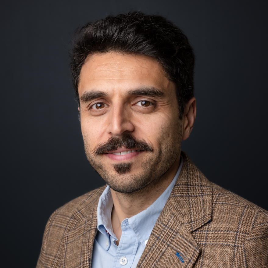
Associate Professor Mohsen Kalantari is a Geospatial Engineering academic at the University of New South Wales (UNSW) School of Civil and Environmental Engineering , with concurrent roles as co-founder of the startup Faramoon . His career spans roles at the University of Melbourne's Department of Infrastructure Engineering and Victorian government's land administration initiatives through DELWP. Education : PhD in Geomatics Engineering (2008, University of Melbourne), Master of GIS Engineering (2004), Bachelor of Surveying Engineering (2001) His research bridges geospatial engineering with construction automation , focusing on 3D cadastre , BIM-GIS integration , and smart cities . Recent publications show trends in underground land administration , digital twins , and LADM standard implementations . Scientific Awards : National educational recognition (2019), Victorian educational grants (2018), and prestigious fellowships (2012) As a supervisor , he guides PhD candidates in topics ranging from BIM for waste management to underground cadastral systems . His industry engagement includes partnerships with the United Nations , Open Geospatial Consortium , and Singapore Land Authority .
Fabio Miranda is an Assistant Professor at the Department of Computer Science, University of Illinois at Chicago (UIC) . His research bridges visualization , machine learning , data management , and computer graphics to enable interactive visual analysis of large-scale urban datasets . He has developed systems like UrbanRama (for VR navigation) and The Urban Toolkit (a grammar-based framework), which have been deployed in academia, industry, and government agencies. Education: Ph.D., Computer Science , New York University (2018) M.S., Computer Science , Pontifical Catholic University of Rio de Janeiro (2011) B.S., Computer Science , Federal University of Minas Gerais (2009) Research Interests center on urban visual analytics , 3D analytics , and machine learning for accessibility . His work addresses challenges like sunlight access , sidewalk quality assessment , and commuting flow modeling , often collaborating with urban planners, climate scientists, and occupational therapists. Scientific Recognition includes awards at IEEE VIS , SIBGRAPI , and SIGMOD . His research is funded by NSF , NIH , DOT , and DPI , with media coverage in The New York Times , The Economist , and Architectural Digest . Teaching includes courses like CS 524: Big Data Visualization and Analytics and CS 424: Visualization and Visual Analytics . He emphasizes web-based systems, dataflow frameworks, and interdisciplinary collaboration, with open positions for PhD , MSc , and undergraduate researchers .