- Geomatics
- Remote Sensing
- Laser Scanning
- +۶ مورد دیگر
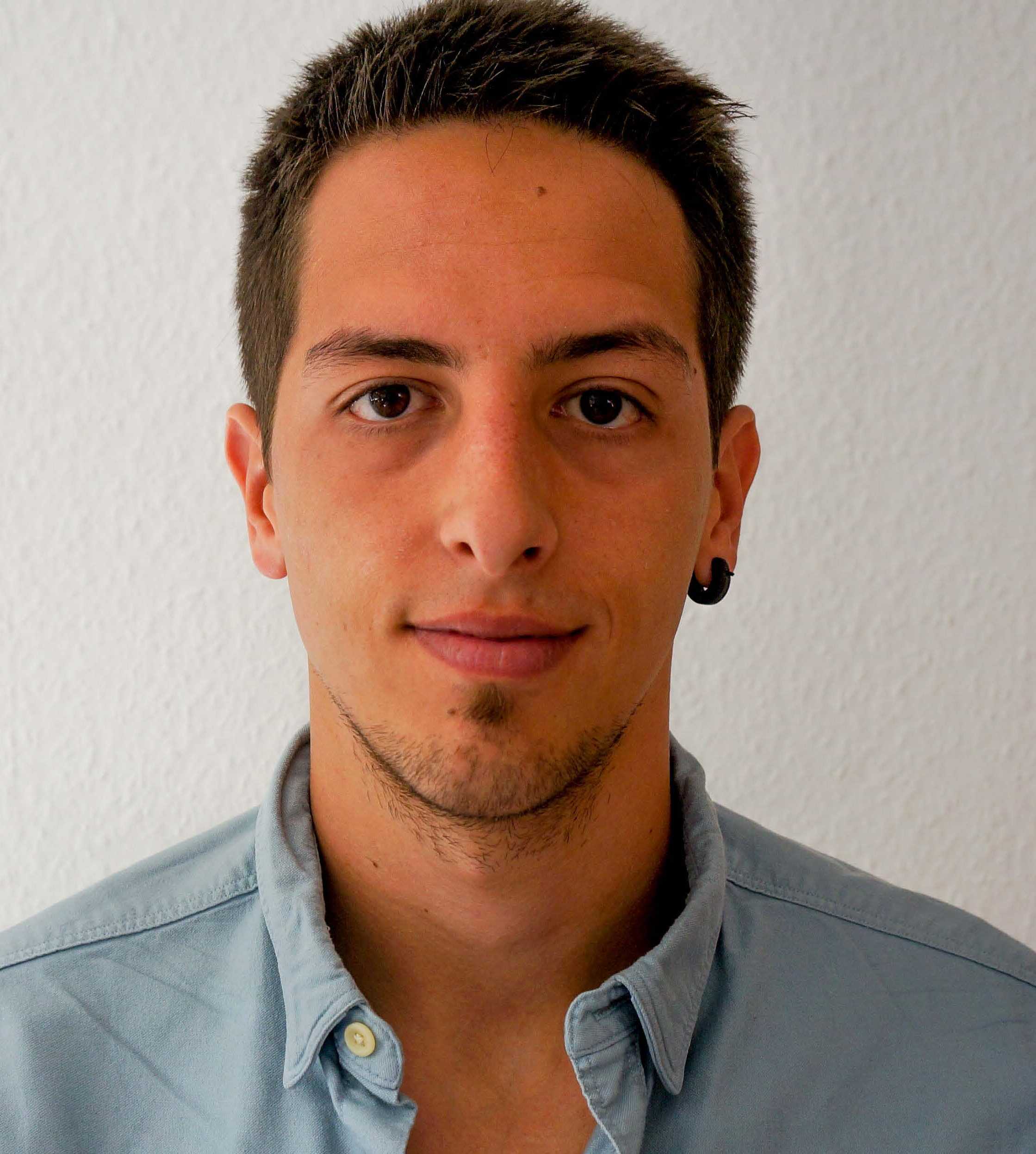
Dr. Tomislav Medić is a Lecturer and PostDoc at the Department of Civil, Environmental and Geomatic Engineering, ETH Zurich. His research focuses on advanced geospatial technologies, particularly terrestrial laser scanning (TLS) applications in deformation monitoring, sensor calibration, and precision agriculture. MSc in Geodesy and Geoinformation, University of Zagreb, Croatia PhD in Geodesy, Bonn University (IGG), Germany Dr. Medić’s research spans geomatics, remote sensing, and sensor engineering. Key areas include TLS radiometric calibration, point cloud processing for 3D displacement analysis, and multispectral LiDAR applications in agriculture. He contributes to improving geodetic measurement accuracy through innovative calibration strategies. His recent publications emphasize TLS integration with RGB data for geomonitoring (2025), hyperspectral scanning for fruit quality assessment (2024), and calibration field design for panoramic scanners (2023). Articles demonstrate expertise in error modeling, multi-sensor fusion, and environmental monitoring applications. At ETH Zurich’s Geosensors and Engineering Geodesy (GSEG) group, he leads the Alpine Measurement Lab collaboration project. He also participates in PhenoRob, a cluster of excellence in robotics and phenotyping for sustainable crop production at Bonn University.