Jim O'Hehirمشاهده پروفایل
پژوهشگر
- Remote Sensing
- Forestry
- Geospatial Data Fusion
- +۴ مورد دیگر
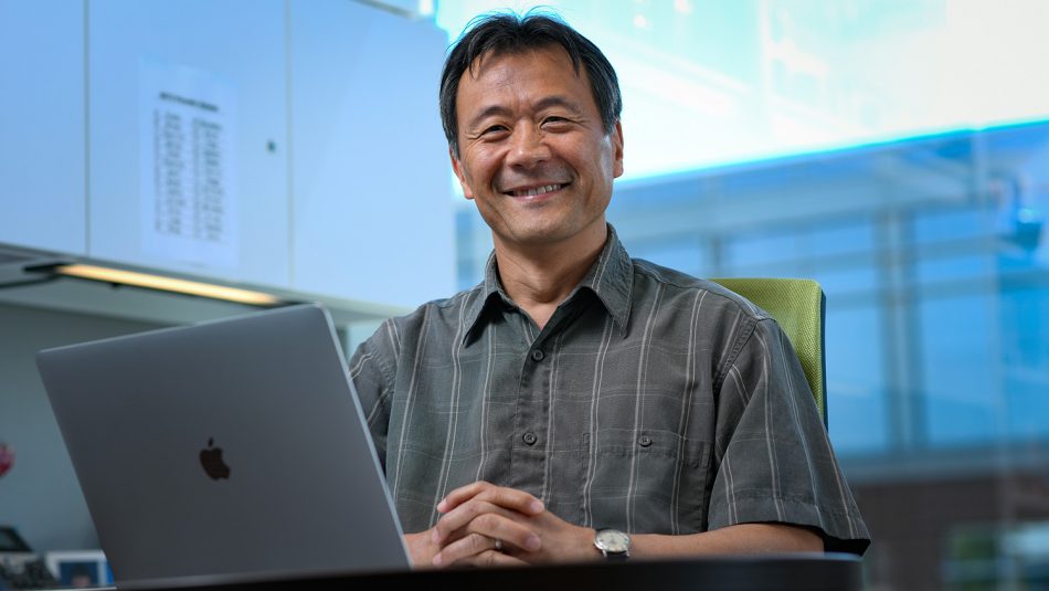
Dr. Jim O'Hehir is a Researcher affiliated with the University of South Australia under the UniSA STEM school and the Sustainable Infrastructure and Resource Management (SIRM) department. He also serves as the General Manager of the Forestry Centre of Excellence at the university. His work spans interdisciplinary applications in remote sensing, geospatial analysis, and virtual reality for forestry. He collaborates with institutions like the University of Tasmania, OneFortyOne Plantations, and the National Institute for Forest Products Innovation (NIFPI), with recent grants from the Australian Government Research Training Program Scholarship , Gottstein Trust , and industry partners. Dr. O'Hehir’s research focuses on overcoming technical limitations in forest inventory systems through LiDAR data fusion , UAV-based hyperspectral imaging , and VR visualization techniques . His 2024 publications highlight innovations in 3D point cloud generation, multispectral residue assessment, and AI-driven fire suppression frameworks. He contributes to policy discussions on carbon storage optimization in timber plantations under Australia’s Emissions Reduction Fund (ERF). 2024: 3D Point Cloud Fusion Using Aerial and Terrestrial Laser Scanning 2024: Multispectral Assessment of Clean-Row Treatments 2024: Immersive VR for Forest Point Clouds 2024: AI in Fire Smoke Detection 2023: Sub-Metre Geospatial Feasibility His grants and collaborations emphasize operational efficiency in forestry, with teams like the Forestry Centre of Excellence and partnerships with Geoscience Australia and Swinburne University of Technology . Future work includes scaling onboard AI for satellite missions and refining standards for data fusion in sub-canopy environments.