
معرفی
Susanna Werth is an Assistant Professor of Hydrology and Remote Sensing at Virginia Tech's Department of Geosciences within the College of Science. Her research focuses on integrating geodetic and geophysical methods to address water resource challenges. Key areas include groundwater dynamics, land subsidence, climate change impacts, and disaster risk assessment using advanced remote sensing technologies like InSAR and GRACE.
Her work spans global case studies, including the Central Valley aquifers in California, Lake Urmia in Iran, and infrastructure vulnerability in U.S. cities. She emphasizes multi-sensor data fusion (e.g., GNSS, LiDAR) and machine learning to model subsidence, water storage changes, and seismic risks. Recent projects address humanitarian crises exacerbated by poor water management and climate extremes.
Publications highlight interdisciplinary approaches to quantify anthropogenic drought impacts, predict infrastructure risks from subsidence, and evaluate managed aquifer recharge efficacy. Her research underscores the critical role of geospatial data in informing sustainable water policies and disaster preparedness.
While no formal students are listed, her work involves collaboration with international teams and agencies. Grants and funding details are not explicitly mentioned, but her active participation in conferences and workshops (e.g., AGU sessions) indicates ongoing collaborative efforts.
Susanna Werth در سایتهای دیگر
جستوجوهای مرتبط
شاید اینها هم برایتان مناسب باشند
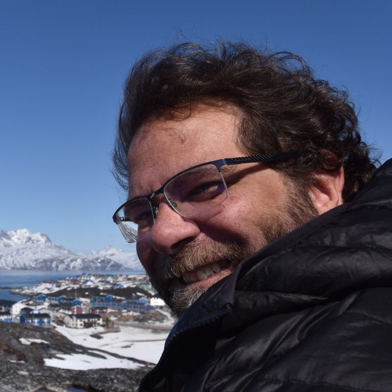 Mike WillisVirginia Polytechnic Institute and State University · دانشیار
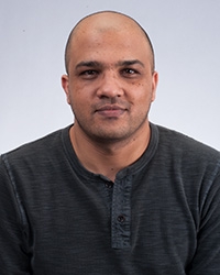 Ashraf RatebUniversity of Texas at Austin · عضو هیئت علمی
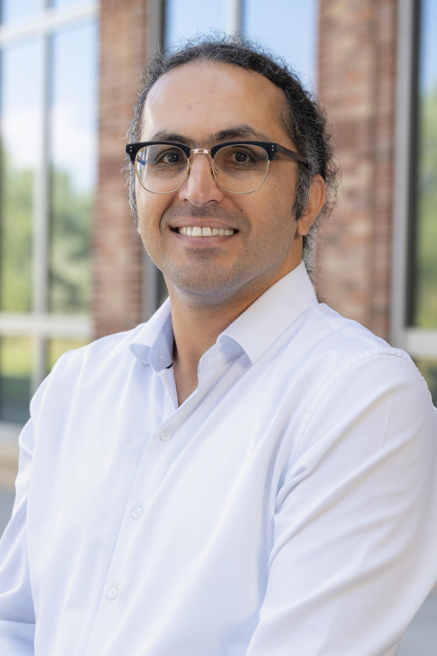 Khosro Ghobadi-FarUniversity of Colorado · استادیار
 Ahmed AbdallaLouisiana State University · استادیار
- MManoochehr ShirzaeiVirginia Polytechnic Institute and State University · دانشیار
 Ann ChenUniversity of Texas at Austin · دانشیار