
معرفی
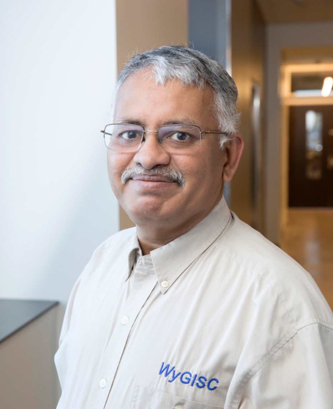
Ramesh Sivanpillai is an Instructional Professor at the University of Wyoming's School of Computing, part of the Wyoming Geographic Information Science Center (WyGISC). He holds a PhD in Forestry from Texas A&M University and has extensive academic credentials including a GIS Professional (GISP) certification and a Certified Project Manager in disaster response. His research focuses on remote sensing applications for agriculture, flood mapping, land cover change, and machine learning integration. He teaches courses such as Remote Sensing for Agricultural Management and UAS Sensors and Platforms.
- Education: PhD, Texas A&M University (2002); MS, University of Wisconsin–Green Bay (1995); MPhil, Bharathiar University (1992); MSc, Cochin University of Science & Technology (1990); BSc, PSG College of Arts & Science (1987).
- Professional Affiliations: American Society for Photogrammetry & Remote Sensing (ASPRS Fellow 2021), Society of American Foresters, American Geophysical Union.
Research Interests: Remote sensing of small crop lands, flood inundation mapping, phenology analysis, and machine learning for feature recognition in aerial imagery. Recent projects include rapid flood mapping with satellite images and identifying epiphytes using neural networks.
Publications emphasize Landsat data applications, flood inundation techniques, and machine learning in environmental monitoring. Over 20 peer-reviewed articles since 2016 highlight his contributions to remote sensing science.
Grants include ongoing AmericaView StateView Program funding for Wyoming, supporting Landsat data operations and education outreach. Professional service includes roles as Regional Director of ASPRS Rocky Mountain Chapter and editorial positions in Frontiers of Earth Science and Journal of Applied Remote Sensing.
Advising spans undergraduate and graduate students in remote sensing research, with notable projects on flood mapping biases, water body segmentation, and UAV-based crop monitoring. His outreach includes K-12 educational programs integrating satellite imagery to teach Earth science concepts.
Ramesh Sivanpillai در سایتهای دیگر
جستوجوهای مرتبط
شاید اینها هم برایتان مناسب باشند
- RRobert DenhamUniversity of Queensland · پژوهشگر
 Brad G. PeterUniversity of Arkansas Fayetteville · استادیار
 Neil FloodUniversity of Queensland · پژوهشگر ارشد
- SSamet AksoyIstanbul Technical University · پژوهشگر
 Paddington HodzaUniversity of Wyoming · استاد آموزشی
 Dirk PflugmacherHumboldt University · پژوهشگر