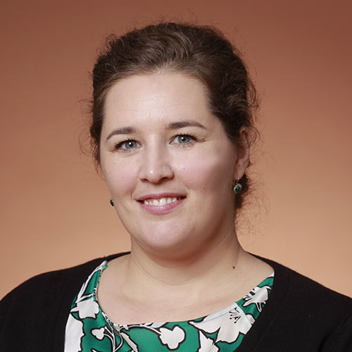
Raechel Portelli
عضو هیئت علمی · Geographic Information Science
University of Illinois Urbana-Champaignمعرفی
Raechel Portelli is a Teaching Assistant Professor at the University of Illinois' Department of Geography & Geographic Information Science, housed within the College of Liberal Arts & Sciences. Her research bridges cognitive science, remote sensing, and geospatial methodologies, focusing on expertise in image interpretation, vertical viewing, and landscape analysis. She holds a PhD from Pennsylvania State University and prior degrees from the University of Idaho, including a dual BS in Physical Geography and Environmental Science with a thesis on shoreline change detection using IKONOS imagery.
Her academic work emphasizes the intersection of human cognition and geospatial technologies, with notable contributions to remote sensing human factors research, forest disturbance characterization, and the historical evolution of air photo interpretation. She teaches quantitative methods in geography and advises students on topics like sentiment analysis and geostatistical techniques. Her publications span interdisciplinary themes including image analysis ethics, UAS-based environmental monitoring, and LiDAR applications in urban forestry.
Portelli's research trends highlight a focus on integrating historical methodologies with modern technologies, particularly exploring how cognitive processes influence remote sensing outcomes. Her work often critiques and recontextualizes traditional practices within contemporary GIS frameworks. She actively collaborates on projects combining imagery, landscape history, and change detection.
Labs/Teams: Affiliated with the Online Graduate Programs in CyberGIS and Geospatial Data Science at Illinois. Her teaching and research activities are centered in the Natural History Building, Urbana campus.