
معرفی
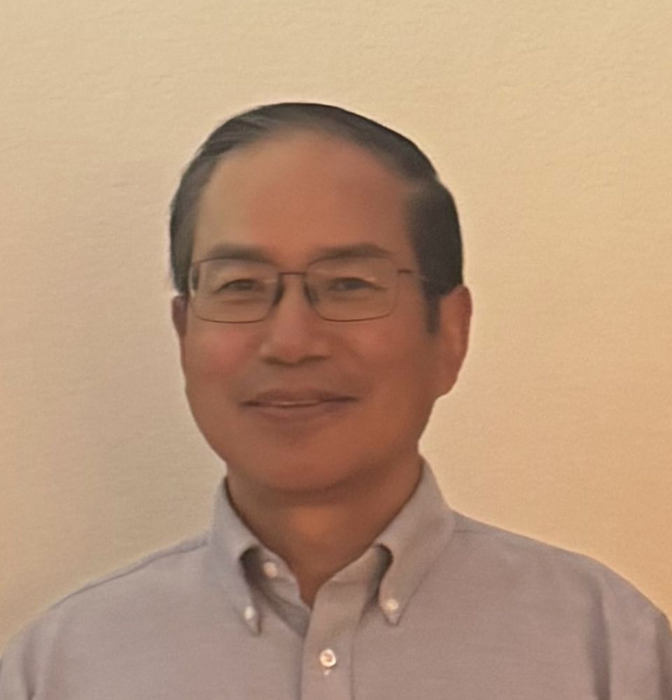
Pinliang Dong is a Professor and Department Chair in the Department of Geography at the University of North Texas (UNT), where he also serves as the GIS Certificate Coordinator. He is actively involved in teaching and research within the College of Arts and Sciences, focusing on advanced geographic information systems and remote sensing technologies.
His research interests include:
- Geographic Information Systems (GIS)
- Remote Sensing
- Environmental and Geographic Applications of Geospatial Technology
- Vegetation and Land Cover Mapping
- Small-Area Population Estimation
- Wildlife Tracking and Habitat Analysis
Dr. Dong teaches Intermediate and Advanced GIS, Advanced GIS Programming, Introduction to Remote Sensing, and Special Problems courses. His recent graduate student research encompasses innovative applications such as optimal residential site selection, development of GIS toolkits for ecological monitoring, and use of NASA's EO-1 and LiDAR data for environmental modeling.
He advises graduate students on diverse theses involving real-world geospatial problem-solving and integrates cutting-edge satellite and aerial data into both research and curriculum. While no specific publications or awards are listed in the provided text, his academic profile indicates sustained engagement in applied geospatial science and graduate mentorship.
Dr. Dong's work demonstrates a strong commitment to advancing GIS methodologies and their interdisciplinary applications in environmental and urban contexts.
Pinliang Dong در سایتهای دیگر
جستوجوهای مرتبط
شاید اینها هم برایتان مناسب باشند
 Zachary ArcaroNorth Carolina State University · پژوهشگر
 Qi ChenUniversity of Hawaiʻi at Mānoa · استاد
- GGeorge RaberUniversity of Southern Mississippi · استاد
 Caiyun ZhangFlorida Atlantic University - Boca Raton · استاد
- JJan van AardtRochester Institute of Technology (RIT) · استاد
- HHarm BartholomeusWageningen University & Research · استادیار