
معرفی
Mirosław Krukowski is an Assistant Professor at the Department of Geomatics and Cartography within the Faculty of Earth Sciences and Spatial Management at Maria Curie-Skłodowska University in Lublin, Poland. His academic activities span geoinformatics, remote sensing, and spatial analysis, with a focus on environmental monitoring and land use mapping.
- PhD degree holder with habilitation (dr hab.)
- Teaches geography, geoinformatics, and spatial planning
- Coordinates environmental monitoring projects like the Biały Słup Base Station
- Active in OpenStreetMap-related research and multilingual spatial data dictionaries
His research emphasizes remote sensing methodologies, spatial data uncertainty, and automated cartographic generalization. He participates in institutional governance as a member of university senates and committees. Professional engagement includes roles in the Polish Society for Spatial Information and project management for geospatial education initiatives like "Geo4work" and "Young Naturalist Academy."
Notable projects include:
- Innovative technological line for automatic generation of online maps (Regional Operational Programme Lubelskie Voivodeship 2014-2020)
- Development of multilingual dictionaries for OpenStreetMap feature representation
Contact: miroslaw.krukowski@mail.umcs.pl
Mirosław Krukowski در سایتهای دیگر
جستوجوهای مرتبط
شاید اینها هم برایتان مناسب باشند
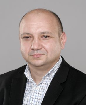 Paweł CebrykowMaria Curie-Sklodowska University · استادیار
- KKrzysztof Leszek KałamuckiMaria Curie-Sklodowska University · استاد آموزشی
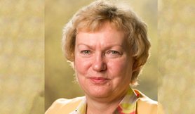 Martina MüllerDresden University of Applied Sciences · استاد
- SSamet AksoyIstanbul Technical University · پژوهشگر
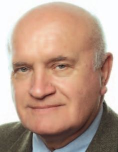 Kazimierz BęcekWrocław University of Science and Technology · استاد
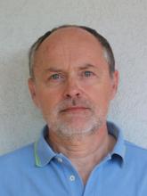 Alberto BeinatUniversity of Udine · دانشیار