معرفی
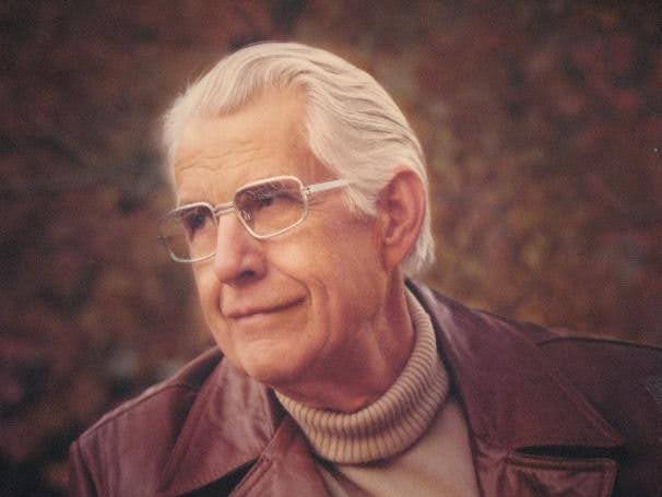
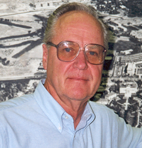
Merrill Ridd was a Professor in the Department of Geography at the University of Utah from 1967 to 2004. He served as department chair from 1971 to 1979 and co-founded the Environmental Studies program. His academic background includes a BS (1954) and MS (1960) from the University of Utah, and a PhD in Geography from Northwestern University (1963).
Key roles prior to his faculty position included project leader at the U.S. Forest Service Intermountain Experiment Station (1962–1965) and associate director of the National Science Foundation’s Earth Science Curriculum Project (1965–1967), resulting in the textbook Investigating the Earth. He established the Center for Remote Sensing and Cartography in 1975 with NASA funding, training over 45 graduate students and publishing extensively on remote sensing, particularly urban environments.
Ridd’s legacy includes a scholarship supporting undergraduate geography students and a hand-drawn Utah landforms map displayed in his school’s office. His interdisciplinary work blended geography, geology, and ecology, with a focus on education and applied research.