معرفی
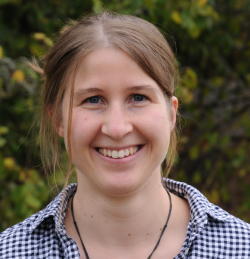
Laura Giese is a Researcher at the Institute of Landscape Ecology, University of Münster, specializing in remote sensing and spatial modeling applications for environmental monitoring. As a core member of the Remote Sensing and Spatial Modeling Research Group led by Prof. Dr. Hanna Meyer, she contributes to methodological development in peatland ecology and drone-based environmental assessment.
Her academic background includes:
- M.Sc. in Physical Geography (2017–2021)
- B.Sc. in Geosciences (2011–2016)
Her research integrates machine learning with multi-source remote sensing data to analyze ecological systems, with primary focus on European peatland hydrology and riparian zone dynamics. Key methodologies include UAV-based monitoring and high-resolution image classification for conservation applications, addressing climate change impacts on vulnerable wetland ecosystems through spatial modeling frameworks.
Recent publications demonstrate a cohesive research trajectory in environmental remote sensing, with increasing emphasis on machine learning applications for peatland restoration and seismic impact assessment. Her work spans hydrological monitoring, vegetation mapping, and dendrochronological analysis, consistently leveraging advanced spatial techniques to solve ecological challenges.
She actively participates in the EU-funded ReVersal project (2022–2025) under BiodivERsA, developing peatland restoration strategies for variable water conditions. Previous roles include Remote Sensing Specialist at the German Federal Institute of Hydrology (2021–2022) for the mDRONES4Rivers project and Python programming contributions to the HLGL project (2020).
The Remote Sensing and Spatial Modeling Research Group provides collaborative infrastructure for drone operations, spatial analysis, and environmental monitoring, supporting interdisciplinary research in landscape ecology through cutting-edge geospatial technologies.