معرفی
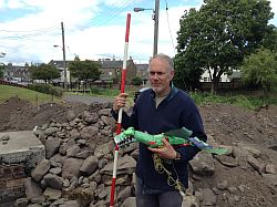
Kathryn Murphy is a Lecturer in GIS and Remote Sensing at the University of Edinburgh, specializing in archaeological applications of geospatial technologies. She holds a BA in Anthropology & Classical Studies from the University of Alberta and an MSc in Geographical Information Science & Archaeology from the University of Edinburgh.
- Roles: University Teacher (Edinburgh), Field Archaeologist (MOLA-Headland Infrastructure), Research Assistant (Newcastle University).
- Projects: Developed WallGIS for Hadrian’s Wall, supervised fieldwork for Oxford University projects like the Silver & the Origins of the Viking Age Project.
Her research focuses on Roman military installations and landscape control, particularly in Britain and Scotland, using GIS to analyze visibility, spatial patterns, and historical contexts. She emphasizes community archaeology and heritage management, as seen in the Hadrian’s Wall Community Archaeology Project.
Publications span GIS applications, Roman frontier studies, and visibility analysis, though none are listed here explicitly. Professional affiliations include Early Career Fellow of the Society of Antiquaries of Scotland and Practitioner status with the Chartered Institute for Archaeologists.