معرفی
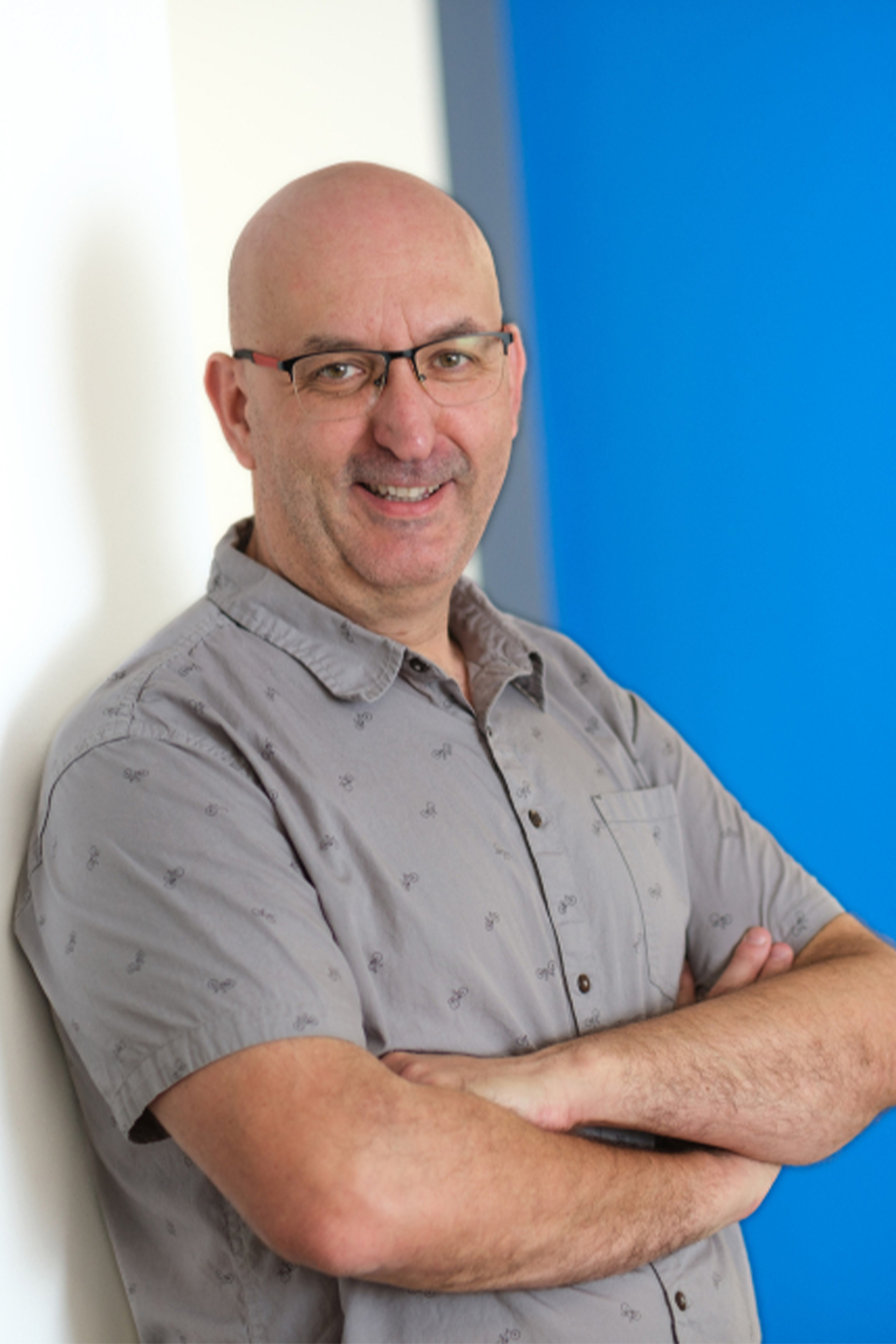
Kalifa Goïta serves as Full Professor in the Department of Applied Geomatics at the University of Sherbrooke's Faculty of Engineering and is an active member of CARTEL (Centre d'applications et de recherche en télédétection), a premier remote sensing research center.
His research program centers on advanced geospatial technologies for environmental monitoring, with specialization in:
- Microwave remote sensing for soil moisture, snow hydrology, and vegetation parameter retrieval
- Radar/lidar altimetry applications in water level monitoring and biomass estimation
- Geospatial modeling of natural hazard propagation (floods, forest fires)
- High-resolution remote sensing for cadastral updates and topographic mapping
- Long-term environmental change detection systems
Professor Goïta's work bridges theoretical remote sensing methodology with operational environmental applications, emphasizing practical solutions for natural resource management and climate change adaptation. His research directly supports governmental and industrial partners in developing monitoring systems for critical environmental parameters across diverse ecosystems.
Through CARTEL, he maintains strong connections with environmental agencies and geospatial technology developers, providing students with access to real-world projects and field instrumentation. Prospective researchers can expect rigorous training in satellite data processing, algorithm development, and geospatial analysis within a collaborative research environment focused on solving pressing environmental challenges.