معرفی
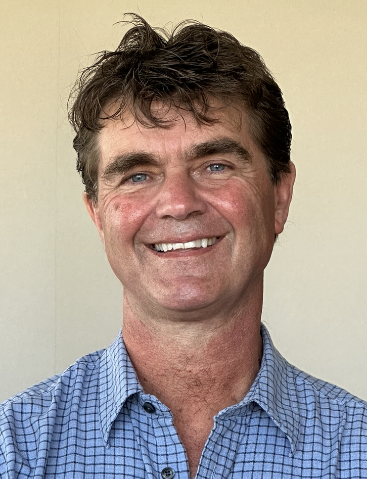
Jeffrey G. Paine is a Research Professor at the Bureau of Economic Geology within the Jackson School of Geosciences at The University of Texas at Austin. His expertise lies in near-surface geophysics, hydrogeology, and environmental geophysics. He has led over 45 studies funded by state, federal, and regional agencies and has published over 130 articles, reports, and abstracts. His work focuses on applying geophysical methods (e.g., electromagnetic induction, seismic reflection) to solve geological, hydrological, and engineering challenges. Paine has also served in leadership roles, including President of the Environmental & Engineering Geophysical Society and Chair of the Environmental Geophysics Committee.
Education:
- Ph.D. Geological Sciences, The University of Texas at Austin (1991)
- M.S. Geological Sciences, University of Washington (1982)
- B.S. Geological Sciences, The University of Texas at Austin (1980)
Research Interests:
Paine’s research integrates geophysics with environmental and engineering applications, particularly in coastal geology, Quaternary geology, and subsurface characterization. He has pioneered techniques to detect subsidence, sinkholes, and groundwater contamination using airborne and ground-based geophysical methods. His recent work includes studies on Texas Gulf Coast shoreline dynamics, oilfield salinization, and CO2 sequestration.
Articles Trends:
His publications emphasize geophysical solutions to environmental challenges, such as sinkhole risk assessment, subsidence monitoring, and carbon storage. Recent work leverages lidar and radar interferometry for coastal and subsurface analysis.
Awards:
- 2010 Gold Award, Environmental and Engineering Geophysical Society
- Best Paper Awards (2003, 1997)
Advising & Grants:
Paine has secured grants totaling millions, including studies on sinkhole collapse mechanisms, groundwater salinity, and coastal erosion. He has advised students in hydrogeophysics and lectured on near-surface geophysics applications.
Labs & Teams:
He leads the Near-Surface Geophysics Group at the Bureau of Economic Geology, coordinating remote sensing, airborne geophysics, and GIS initiatives. Collaborations include the Texas Coastal Management Program and the U.S. Department of Energy.