معرفی
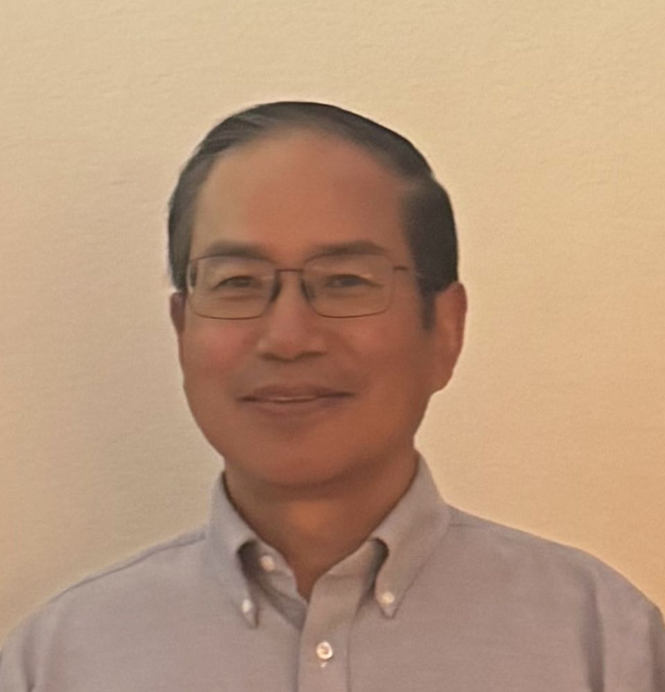
George Waddington serves as a Lecturer in the Department of Geography and Sustainability at Salem State University, teaching advanced courses in geospatial technologies including Geographic Information Systems (GPH 340) and specialized remote sensing analysis (GPH 444, GPH 909, GPH 910).
His research expertise centers on Remote Sensing methodologies, with emphasis on Digital Image Processing techniques for interpreting satellite and aerial imagery. This work directly supports sustainability-focused geographic analysis through precise spatial data modeling and environmental monitoring applications.
No scientific awards or honors were documented in the available materials.
Information regarding student mentorship, research grants, laboratory facilities, or collaborative teams was not provided in the source content.