
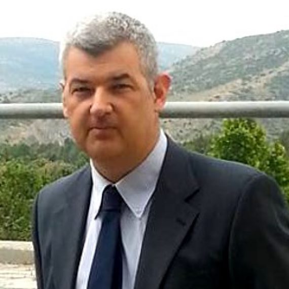
معرفی
Dimitris Stathakis is a Professor at the University of Thessaly's School of Engineering, Department of Urban Planning and Regional Development Engineering. He directs the Spatial Analysis, Geographic Information Systems and Thematic Cartography Laboratory and chairs the Hellenic Land Registry since 2019. His research specializes in geospatial technologies for urban monitoring, notably using night-time satellite imagery to analyze urban sprawl, population dynamics, and economic activity.
Education includes:
- PhD in Urban Planning (University of Thessaly, 2003)
- MSc in Geodetic/GIS (University College London, 1995)
- Engineering degree (University of Thessaly, 1994)
Research focuses on GIS-driven urban analytics, including satellite-based population estimation, land use pattern evaluation, and spatial metrics for urban compactness. His work integrates AI techniques (neural networks, fuzzy logic) with geospatial data.
Key projects include:
- Fulbright-funded work at Yale (2016-2017) on urban expansion
- EU Joint Research Centre postdoc (2004-2008) on food security applications
- Leading €150K project on seasonal population estimation via night lights (2018-2021)
Awards: Fulbright Fellowship (2016-2017). Teaches courses in GIS, thematic cartography, and informatics.
Dimitris Stathakis در سایتهای دیگر
جستوجوهای مرتبط
شاید اینها هم برایتان مناسب باشند
- AAris VartholomaiosUniversity of Thessaly · استادیار
- AAlexandru CĂLINTechnical University of Civil Engineering Bucharest · دانشیار
 Anestis GourgiotisUniversity of Thessaly · دانشیار
- IIwona CieślakUniversity of Warmia and Mazury in Olsztyn · استاد
- IIfigenia KokkaliUniversity of Thessaly · استادیار
 Sotirios KoukoulasUniversity of Thessaly · دانشیار