معرفی
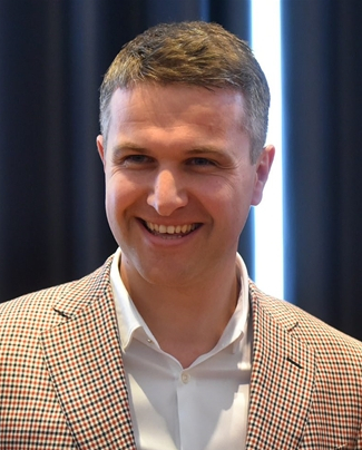
Denis Radoš is Associate Professor in the Department of Geography at the University of Zadar, Croatia, and a researcher at the Center for Karst and Coastal Research. His core interests integrate geomorphology, GIS-based spatial analysis, climatology, and cultural-religious geography, with applied work on renewable-energy potential and heritage-oriented bird-watching tourism.
Education & Institutional Roles
- PhD in Geography (University of Zadar) – thesis on topographic surface analysis for wind-potential assessment defended 12 September 2017.
- Faculty member, Department of Geography, University of Zadar.
- Research associate, Center for Karst and Coastal Research, University of Zadar.
Research Interests
Professor Radoš combines field-based geomorphological mapping with high-resolution GIS and remote-sensing techniques to investigate karst relief, coastal morphology, and micro-climatic variability along the eastern Adriatic. A parallel strand of work explores how religious practices and pilgrimage tourism shape landscapes, exemplified by his recent analyses of replicated Marian sanctuaries. He also evaluates landscape suitability for wind-energy installations and develops educational resources for sustainable bird-watching tourism on Balkan karst poljes.
Publication Trends
Across 90+ works, his output clusters into (1) detailed regional physical-geographical monographs (Kožino, Duvanjsko polje, Vjetrenica), (2) methodological GIS papers on digital terrain modelling and interpolation, (3) climatological profiles of Adriatic micro-regions, (4) cultural-geographical studies of sacred sites, and (5) applied renewable-energy assessments. Recent 2024-2025 publications continue to blend physical and human geography, emphasizing multi-scale spatial analysis.
Research Support & Collaboration
- Principal investigator/participant in regional development and environmental assessment projects, including wind-farm feasibility studies (e.g., VE Danilo, Jelovača).
- Collaborates with international scholars from Utrecht University, UCL, UCLA, Stockholm University, and others, as reflected in co-authored studies.
- Utilized advanced GIS and wind-modelling software (WAsP, ANUDEM) supported by the Technical University of Denmark.
Teaching & Supervision
Offers courses in geomorphology, GIS, and regional geography, with individual consultations available by appointment. Mentors graduate theses and field-based student research, although specific advisee names are not provided in the available materials.