معرفی
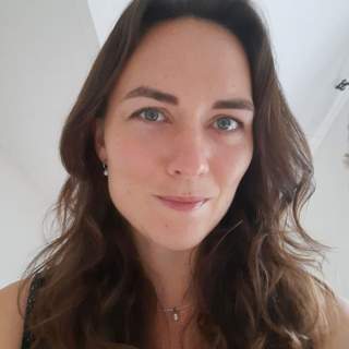
Caroline Margaux Gevaert serves as Associate Professor in the Department of Geo-information Processing at the University of Twente's Faculty of Geo-Information Science and Earth Observation (ITC), while also holding an appointment at the Digital Society Institute. Her academic career spans geospatial information systems, remote sensing, and the ethical applications of AI in geographical contexts.
Dr. Gevaert earned her PhD in Informal Settlement Mapping with Unmanned Aerial Vehicles from the Faculty of Geo-Information Science and Earth Observation (ITC) in 2018, following Master's degrees in Geospatial Information Systems from Lund University (2014) and Remote Sensing from Universitat de Valencia (2013), and a Bachelor's in International Land and Water Management from Wageningen University & Research (2011).
Her research focuses on the intersection of artificial intelligence and geospatial science, with particular emphasis on ethical dimensions of AI, algorithmic fairness in geo-intelligence workflows, and applications of machine learning for environmental monitoring. She has developed expertise in UAV applications for informal settlement mapping and flood vulnerability assessment, bridging technical innovation with societal impact.
Analysis of her recent publications reveals a strong trend toward addressing ethical challenges in geospatial AI, with increasing focus on algorithmic fairness, explainable AI systems, and accountability frameworks. Her work demonstrates a consistent evolution from technical remote sensing applications toward socio-technical systems that consider both technological capabilities and societal implications.
- PhD Cum Laude (2018)
- Professor J.M. Tienstra Onderzoeksprijs 2020
- Student Paper Competition Finalist (2017)
Dr. Gevaert serves as Chair of De Jonge Akademie (2022-2027) and the International Society for Digital Earth (ISDE), while participating in the Frontier Technology Livestreaming Programme. Her external engagement includes consultancy for the World Bank and presentations on accountability in digital humanitarianism, demonstrating her commitment to applying geospatial intelligence for global development challenges.
Her research activities center around geo-intelligence workflows, with particular focus on developing accountable and fair AI systems for spatial analysis. Current projects investigate causality frameworks for bias detection in flood vulnerability assessments and explainable workflows for ecological monitoring, positioning her at the forefront of ethical geospatial AI research.