
معرفی
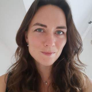
Caroline Gevaert is an Associate Professor at the University of Twente’s Faculty of Geo-Information Science and Earth Observations (ITC), specializing in drone imagery, artificial intelligence, and geospatial data analysis for sustainable urban development in informal settlements. She bridges technical innovation with humanitarian applications, particularly in slums across Africa, South America, and Asia.
- PhD in Informal Settlement Mapping with UAV Imagery (cum laude) - University of Twente, 2014
- MSc in Geographical Information Systems - Lund University, Sweden (2012-2014)
- MSc in Remote Sensing - University of Valencia, Spain (2012-2013)
- BSc in International Land and Water Management - Wageningen University, Netherlands (2008-2011)
Her research focuses on overcoming satellite imagery limitations in tropical regions through drone-based 3D modeling and AI-driven automated mapping. This work enables precise infrastructure planning in slums, improving accessibility for essential services like healthcare and waste management. She collaborates with the World Bank and develops responsible AI frameworks for geospatial data interpretation in developing countries.
Gevaert has received multiple accolades, including the prestigious NWO Veni grant and the J.M. Tienstra Research Prize. Her expertise in GIS and drone technology has made her a key figure in humanitarian geo-intelligence, influencing policy decisions in Rwanda and beyond.


