معرفی
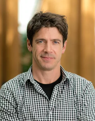
Benjamin Aubrey Robson is an Associate Professor in Geomatics at the Department of Earth Science, University of Bergen (UiB), specializing in Geomatics and Remote Sensing. His work focuses on applying advanced geospatial technologies to study glacial and periglacial environments in Norway and high-mountain regions worldwide. Robson leads research initiatives that integrate Earth Observation, UAV technology, and Geospatial Artificial Intelligence to monitor and analyze cryospheric changes.
Dr. Robson's research interests span two primary areas: Quantifying Glacial and Periglacial Changes Over Time and Geospatial Artificial Intelligence (GeoAI).
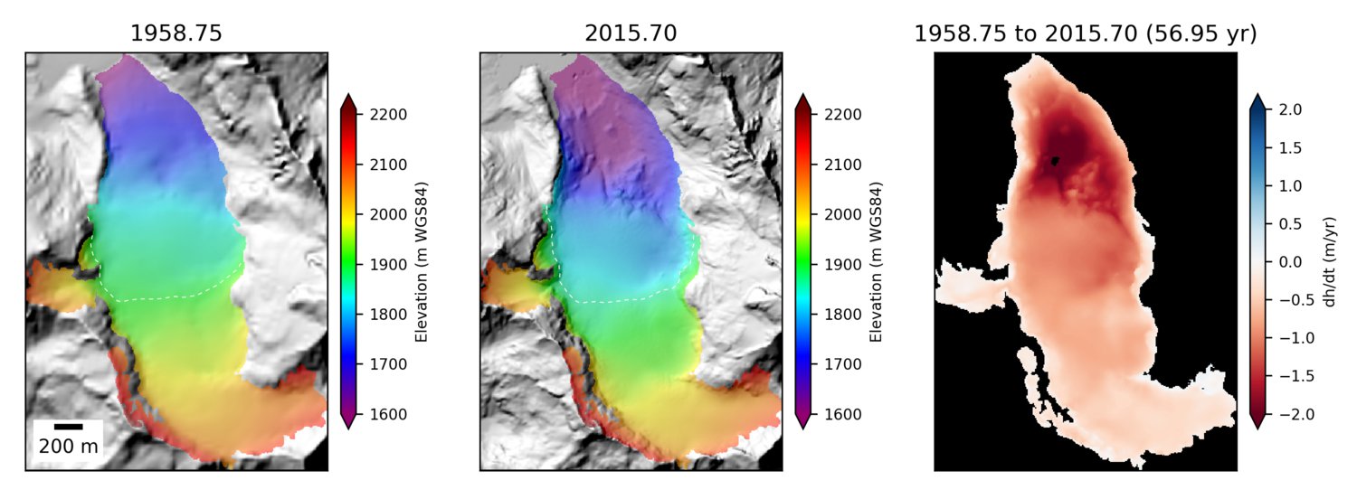
- He utilizes photogrammetry and topographic analysis with historical aerial imagery, UAVs, LiDAR, and satellite data to reconstruct glacier and rock glacier evolution since the mid-20th century across Norway, Chile, Nepal, and the European Alps
- He applies machine learning techniques to geospatial data for automated identification of complex landforms like rock glaciers and landslides, while also investigating the reliability and trustworthiness of GeoAI algorithms
His recent publications demonstrate a strong focus on integrating deep learning with remote sensing for cryospheric monitoring. The research shows increasing sophistication in using multiple sensor platforms (UAVs, satellite imagery, LiDAR) combined with advanced AI techniques to address complex glaciological questions. Notable trends include the application of transfer learning for limited-data scenarios, comparative analysis of deep learning versus traditional methods, and expanding GeoAI applications from glacier monitoring to hydrocarbon seepage detection and other geoscientific domains.
Dr. Robson actively supervises graduate students and leads significant research projects:
- PhD students: Daniel Thomas (GeoAI mapping of rock glaciers), Yiyao Chen (Snow-depth predictions using GeoAI)
- Co-supervision of multiple PhD and MSc students on GeoAI applications
- Principal Investigator for SnowAI, CO-INVENT, and AI integration in Earth Sciences education projects
- Co-PI for ROGER and JOSTICE projects
He contributes extensively to education at UiB through courses including Introduction to GIS, Practical Skills in Remote Sensing, and Field Methods in Quaternary Geology, while also organizing specialized summer schools on UAV applications and machine learning in glaciology.