About
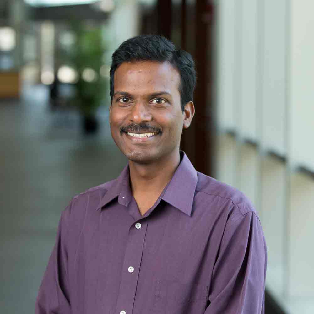
Dr. Suresh Muthukrishnan is a Professor of Earth, Environmental, and Sustainability Sciences at Furman University and Director of the GIS and Remote Sensing Center. He specializes in GIS, remote sensing, and drone technologies to address environmental and societal challenges. His research focuses on human-landscape interactions, water quality, landslides, and community-driven solutions. Dr. Muthukrishnan has a Ph.D. from Purdue University and has held roles such as the Henry Keith and Ellen Hard Townes Associate Professorship and Furman Standard Research Fellowship. He has pioneered projects like the African Drone and Data Academy in Malawi and collaborates with UNICEF on real-time mapping for disease prevention. He mentors students through field studies and study abroad programs in India, Iceland, and Tanzania.
Education: Ph.D., Purdue University; M.Tech. and M.S., Indian Institute of Technology Bombay; B.S., Anna University, Chennai. Awards include the Fulbright US Scholar Award (2017-2018) and Purdue’s Outstanding Teaching Award (2002). His work integrates interdisciplinary approaches, emphasizing GIS applications in healthcare access, crime reduction, and environmental conservation.