About
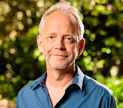
Associate Professor Karin Reinke is affiliated with the School of Science at RMIT University, Australia. Her academic role includes supervision of Masters and PhD students in environmental sustainability research projects, such as future forests, wildfire surveillance algorithms, and geospatial AI applications. She holds a permanent full-time faculty position.
Education and Industry Background: Prior to academia, she held professional roles in spatial analysis and environmental modeling across multiple organizations including the Department of Sustainability and Environment (Wilson’s Promontory National Park and Melbourne offices), Australian Surveying and Land Information Group, Bureau of Resource Sciences (Canberra), Geomatic Technologies (Melbourne), and RMIT University as a Postdoctoral Research Fellow.
Research Focus: Her work emphasizes spatial data quality, uncertainty, and scale in environmental information systems. Key areas include vegetation assessment via remote sensing/GIS, wildfire management applications, and forest fuel structure modeling. She develops methodologies for satellite-based fire detection, flood modeling in data-scarce regions, and integrating low-cost remote sensing technologies for environmental monitoring.
Supervision Trends: Recent supervision projects highlight innovations in geospatial AI for sustainability, active fire detection algorithms, and analyzing satellite data's influence on landscape perception. Projects often intersect satellite imagery applications with ecological recovery and human-environment interactions.
Collaborations: Involved in cross-disciplinary teams including the Fuels3D project and AusCover CALVAL activities. Works closely with researchers like Simon Jones and Luke Wallace on wildfire surveillance and spatial resolution studies.