

About
Heidar Rastiveis is an Assistant Professor (Senior Research) at Oregon State University's School of Civil and Construction Engineering. His work focuses on photogrammetry, remote sensing, and geomatics, with applications in earthquake damage detection, 3D road modeling, and forest inventory.
- PhD in Civil Engineering (Photogrammetry) from University of Tehran
- MSc in Civil Engineering (Photogrammetry) from University of Tehran
- BSc in Geomatics Engineering from University of Isfahan
His research bridges civil engineering and geospatial technologies, emphasizing automated algorithms for object extraction from LiDAR point clouds and satellite imagery. Recent work explores UAV-based remote sensing for archaeological and environmental applications.
His publications highlight trends in LiDAR data classification, earthquake damage mapping, and infrastructure monitoring using machine learning techniques like CNNs and SVMs.
Dr. Rastiveis teaches courses in Geospatial Information Systems, Highway Design, and Geospatial Machine Learning, combining academic rigor with industrial geomatics expertise.
Find Heidar Rastiveis elsewhere
Related Searches
You Might Also Like
 Christopher ParrishUniversity of New Hampshire · Associate Professor
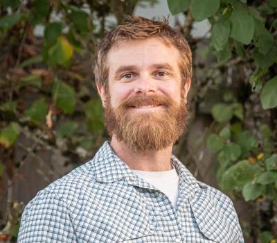 Brett MurphyOregon State University · Lecturer
 Christopher ParrishOregon State University · Professor
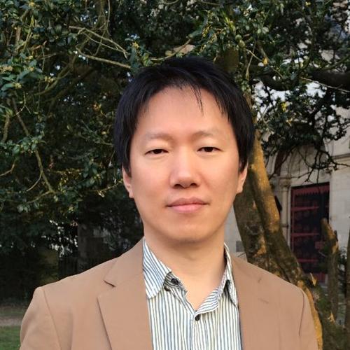 Jaehoon JungRhenish Friedrich Wilhelm University of Bonn · Researcher
 Erzhuo CheOregon State University · Assistant Professor
 Yushin AhnCalifornia State University, Fresno · Associate Professor