

About
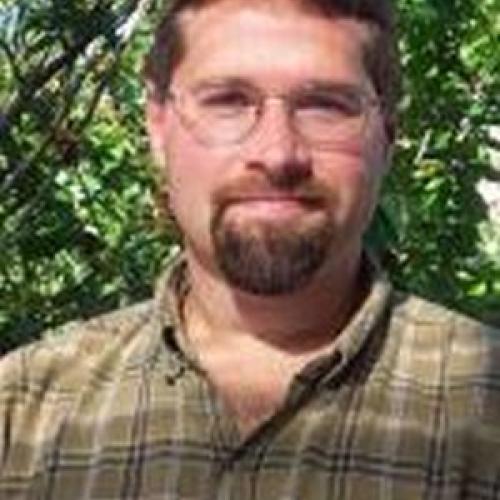
Brett Murphy is an Instructor of Geomatics in the Department of Civil and Construction Engineering at Oregon State University's College of Engineering. He holds a B.S. in GIS & Remote Sensing from Southern Illinois University and is a licensed Professional Land Surveyor in Oregon with a Private Pilot's license.
His career spans diverse roles including wildland firefighting, botany fieldwork, and commercial drone piloting. He transitioned to academia after working in geomatics for aerial remote sensing firms, research at the Oregon Department of Transportation (ODOT), and automated machine guidance systems development. His technical expertise includes lidar, photogrammetry, UAV technology, and traditional survey methodologies.
Research interests focus on geomatics applications in infrastructure monitoring, environmental analysis, and precision agriculture. He emphasizes practical training and industry-relevant education to prepare students for geospatial careers. No scientific awards are listed, though his professional certifications reflect industry credibility.
Teaching and mentorship are central to his role, though no formal advisees or grants are mentioned. Brett actively promotes geomatics innovation through fieldwork and technology integration, having conducted projects across the U.S. and internationally.
Find Brett Murphy elsewhere
Related Searches
You Might Also Like
 Heidar RastiveisOregon State University · Assistant Professor
 Michael WingOregon State University · Associate Professor
- MMehmet ArkalıIstanbul Technical University · Researcher
 Jeffery Pereira HollingsworthMichigan Technological University · Professor
 Erzhuo CheOregon State University · Assistant Professor
 Zahra GharineiatUniversity of Southern Queensland · Associate Professor