
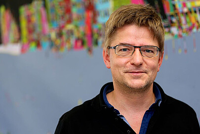
About
apl. Prof. Dr.-Ing. Claus Brenner is an Adjunct Professor at the Institute of Cartography and Geoinformatics within the Faculty of Civil Engineering and Geodetic Science at Leibniz University Hannover. His research focuses on LiDAR mapping, point cloud processing, and robust estimation, with applications in autonomous systems, urban mapping, and disaster risk assessment. He leads the Graduiertenkolleg 2159 research group on integrity and collaboration in dynamic sensor networks.
Key research areas include 3D reconstruction, SLAM (Simultaneous Localization and Mapping), semantic segmentation of mobile mapping data, and cooperative perception systems. His work integrates advanced machine learning techniques with geospatial data analysis, addressing challenges in sensor fusion, uncertainty modeling, and real-time localization.
Recent publications span topics like voxel-based point cloud localization for smart spaces, flood risk mapping using LiDAR, and adversarial shape completion. Brenner has contributed to benchmark datasets such as LuCoop and LUMPI, advancing research in cooperative perception and urban navigation. His methods emphasize robustness and scalability, often leveraging generative models and statistical frameworks for urban environment analysis.
Notable projects include the development of high-definition mapping using LiDAR, trajectory-based road network reconstruction, and semantic annotation from user trajectories. His work bridges theoretical advancements in computer vision with practical applications in autonomous systems and smart infrastructure.
Find Claus Brenner elsewhere
Related Searches
You Might Also Like
 Yunshuang YuanLeibniz University Hannover · Researcher
 Alexander SchaeferAlbert Ludwig University of Freiburg · Researcher
- TThomas LäbeRhenish Friedrich Wilhelm University of Bonn · Researcher
 Nived ChebroluUniversity of Oxford · Researcher
- DDUPUIS YohanCESI Graduate School of Engineering · Researcher
- SStephany Berrio PerezUniversity of Sydney · Research Fellow