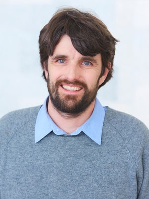
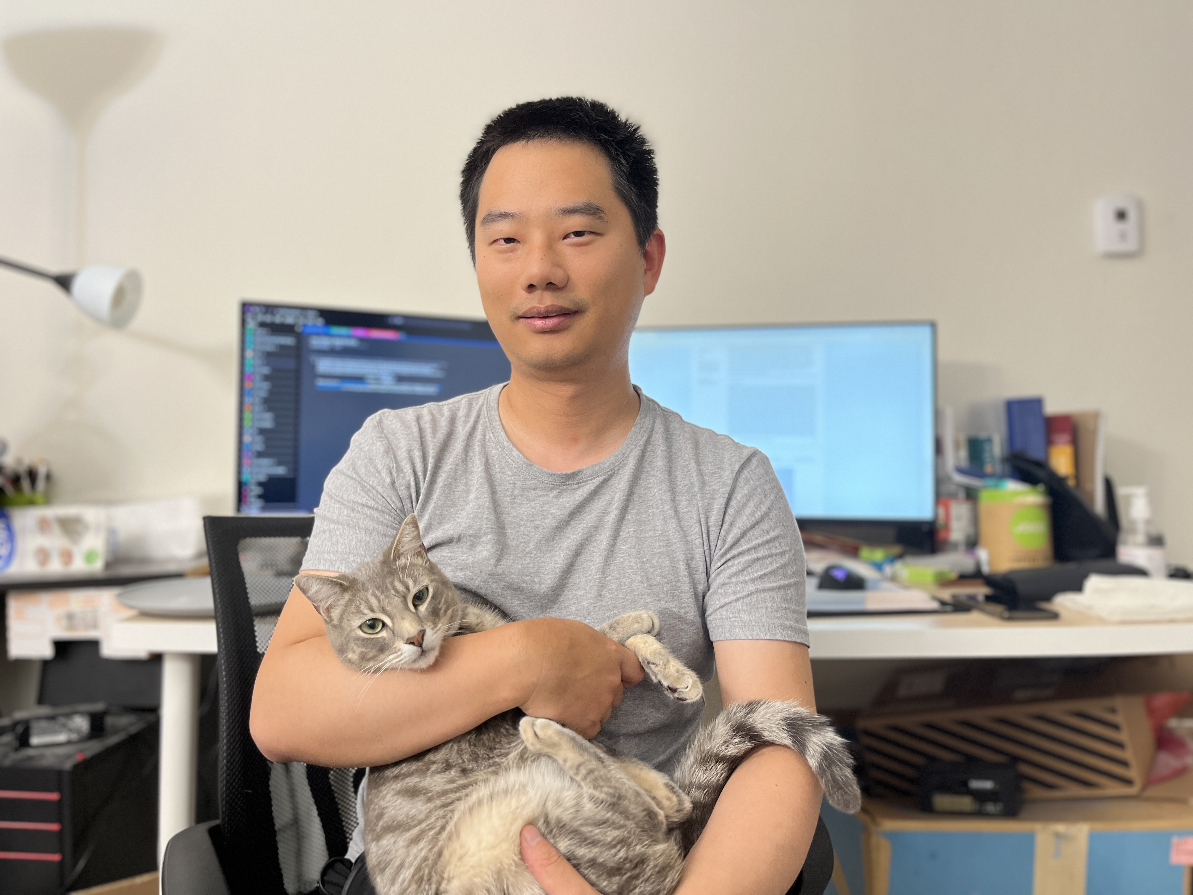
Philip Hughes is a Professor of Physical Geography and Head of the Department of Geography at the University of Manchester. His research focuses on glacial history, climate change, and geomorphology in Mediterranean mountains, the Balkans, and the British Isles. He has held roles such as Director of Laboratories and Postgraduate Research Coordinator. He has been recognized with awards including the Royal Geographical Society's Peter Fleming Award and inclusion in Quaternary Science Reviews' Outstanding Reviewers list. Education: BSc (Hons) Geography, University of Exeter (1996-1999) M.Phil Quaternary Science, University of Cambridge (1999-2000) PhD Geography, University of Cambridge (2001-2004) Research Interests: Hughes specializes in Pleistocene glacial dynamics, particularly in the Mediterranean region. His work integrates cosmogenic isotope dating with field-based geomorphological analysis to reconstruct past climate conditions. Key areas include the glacial history of Greece, Montenegro, Morocco's High Atlas, and Wales. Grants & Collaborations: NERC awards for cosmogenic isotope studies in North Africa ANSTO-funded research on Balkan glaciation International collaborations in Serbia, Croatia, and Poland Labs & Teams: Leads the Quaternary Environments & Geoarchaeology Research Group at Manchester and oversees laboratory facilities in the School of Environment, Education and Development.
Will Amidon is a Professor in the Department of Earth and Environmental Sciences at Middlebury College. He founded the OSL Lab at Middlebury in 2013, which supports collaborative research in luminescence dating. His research focuses on geochronology, remote sensing, and modeling of surface processes, with a particular emphasis on cosmogenic dating, erosion patterns, and paleoclimate reconstruction. Amidon teaches courses such as Environmental Geology, Active Tectonics and Earthquake Hazards, and Remote Sensing in Geoscience. He has led field-based studies in the Champlain Valley, Central Andes, and Great Basin, emphasizing interdisciplinary approaches to understanding Earth's surface dynamics. His recent work explores spatio-temporal erosion patterns, tectonic activity in the Central Andes, and the interplay between climate and geomorphic processes. Over 40 peer-reviewed articles document his contributions to geochronology, tectonics, and paleoclimate studies. The OSL Lab at Middlebury serves as a key resource for students and researchers conducting luminescence dating studies.
Luc Braillard is a Lecturer in the Department of Geosciences at the University of Fribourg's Faculty of Science and Medicine. His work bridges geological and archaeological research, focusing on Quaternary processes, rock glacier dynamics, and human-environment interactions in Alpine and Jura regions. Primary Affiliation: Department of Geosciences, University of Fribourg Research Themes: Paleoenvironmental reconstruction, periglacial geomorphology, rock shelter archaeology His research integrates sedimentological, micromorphological, and tectonic analyses to study long-term landscape evolution. Recent work examines climate change impacts on xerothermic ecosystems and sediment cascades in high Alpine regions. Publications span from 2000 to 2024, with a 2024 Global Change Biology paper on cliff-edge forests as climate change models. Key methodologies include automatic camera monitoring of rock glaciers (2018), multi-method permafrost ridge analysis (2022), and lichenometry/geochronology for reconstructing postglacial landscape transitions (2020). Collaborative projects involve cross-border Swiss/French teams studying sediment dynamics in Molasse Basin contexts.
Matt Telfer is an Associate Professor in Physical Geography at the School of Geography, Earth and Environmental Sciences, University of Plymouth. He leads undergraduate and postgraduate modules, including Desert Environments (GGP3206), Fieldwork in Geography (GGX2204), and Advanced Fieldwork in Geography (GGP3201). His research focuses on geomorphology, geochronology, and environmental change in dryland systems, with cross-planetary applications to Martian landscapes. Key research areas include aeolian dune dynamics, fluvial terrace formation, and climate-tectonic interactions. He applies optically stimulated luminescence (OSL) dating to reconstruct landscape evolution in regions such as the Kalahari Desert, Atlas Mountains, and Sputnik Planitia (Pluto). His work contributes to understanding global environmental change and planetary surface processes. Contact: matt.telfer@plymouth.ac.uk , A527 Portland Square, Plymouth, PL4 8AA.
Professor Susan Ringrose is affiliated with the School of Social & Environmental Sustainability, focusing on geomorphological processes in arid and tectonically active regions. Her research investigates landscape evolution, sedimentary formations, and environmental dynamics across diverse geographical settings, including Botswana, Namibia, and Scotland. Key research themes include playa landform diversity, silcrete formation mechanisms, rift zone geomorphology, and hyper-arid floodplain systems. Her work combines field observations with geochemical analysis to elucidate long-term environmental changes and lithological interactions. Publications (2018–2024) emphasize interdisciplinary approaches to understanding arid zone geomorphology, with contributions to the Scottish Geographical Journal , South African Journal of Geology , and Transactions of the Royal Society of South Africa . She has co-authored a book chapter on Botswana's Okavango Rift Zone landscapes. No scientific awards, grants, or advising activities are explicitly documented in the provided text. Her research remains centered on advancing knowledge of Earth surface processes in extreme environments.
Ed Garrett is an Assistant Professor (Lecturer) in Physical Geography within the Department of Environment and Geography at the University of York. He joined the department in 2019 after holding research and teaching positions at the Geological Survey of Belgium and Durham University, where he also completed his PhD. Garrett leads the Creating a Climate Resilient World research group and currently serves as Principal Investigator for two active research projects: Partnership on sea-level change along Brazilian shores (SLABS) funded by NERC (2023-2025) and Connecting Blue Carbon Research (2023). Garrett's research program focuses on the globally significant and often interlinked hazards of subduction zone earthquakes, tsunamis, and sea-level rise. He utilizes sedimentary and geomorphic records to reconstruct the timing, rates, and magnitudes of these processes over annual to multi-millennial timescales. His methodological approach draws on diverse techniques including field-based surveying, sedimentology, microfossil analysis, geochronology and geophysical modeling. A significant new strand of his research examines carbon storage in intertidal environments, particularly saltmarsh blue carbon ecosystems and their relationship with sea-level rise. Analysis of Garrett's recent publication record (2021-2025) reveals three major research trajectories: (1) paleoseismic and paleotsunami studies focusing on megathrust earthquakes in Chile, New Zealand, and Japan; (2) relative sea-level reconstruction using microfossil and geochemical proxies across multiple global regions including the UK, Ireland, Australia, and the USA; and (3) blue carbon research examining organic carbon accumulation in saltmarshes and the implications for climate change mitigation. His work demonstrates strong international collaboration, with field sites spanning six continents and partnerships with researchers from over 20 countries. Garrett has secured significant research funding through the Natural Environment Research Council (NERC), including as Principal Investigator for the Partnership on sea-level change along Brazilian shores project (2023-2025) and the Connecting Blue Carbon Research project (2023). His research group includes multiple postdoctoral researchers and has produced over 40 peer-reviewed publications, two book chapters, and one edited book since 2013. Garrett leads the Creating a Climate Resilient World research group at York, which focuses on understanding past environmental changes to inform future climate resilience strategies. The group maintains active field programs in Chile, New Zealand, the UK, and Brazil, with particular expertise in coastal sedimentology, microfossil analysis, and blue carbon assessment. The group collaborates extensively with international partners including the Geological Survey of Belgium, Durham University, and research institutions in Chile, Japan, and Australia.
İrem Elitez is an Assistant Professor in the Department of Geophysical Engineering at Istanbul Technical University (ITU), affiliated with the Mining unit. She holds a PhD in Geological Engineering from ITU. Her research focuses on Marine Geology and Geophysics, Structural Geology, and Active Tectonics, with a particular emphasis on the Burdur-Fethiye Shear Zone in the Eastern Mediterranean. Her work explores tectonic evolution, fault zone dynamics, and geodynamic processes in regions like the Western Taurides and SW Turkey. She has published extensively on chronostratigraphy, morphotectonic frameworks, and seismic stratigraphy, contributing to understanding Neogene and Quaternary tectonics. Recent studies include the morphotectonic framework of the Eşen Basin and geodynamic evolution of the Burdur-Fethiye Shear Zone's offshore continuation. Dr. Elitez has led projects such as 'Seismic Stratigraphy and Tectonic Evolution of the Sea Area Between Chios, Ikaria and Samos Islands,' integrating field data and geochronological methods. Her research aligns with UN Sustainable Development Goals related to climate action and disaster risk reduction. Education: PhD in Geological Engineering (2019), MSc in Earth System Science (2010), BSc in Geological Engineering (2007), all from ITU. Research Focus: Burdur-Fethiye Shear Zone, Miocene-Quaternary tectonics, fault zone analysis, and paleoseismology. Grants/Projects: Ongoing work on seismic stratigraphy and completed projects on chronostratigraphic dating of sedimentary units. Dr. Elitez teaches 'Introduction to Structural Geology' and collaborates internationally, contributing to conferences in tectonics and geodynamics.
Villalobos Claramunt is a Postdoctoral Researcher at Southern Methodist University. Their work focuses on understanding active tectonics, seismic hazards, and the interplay between fault systems and geological processes in subduction zones. They specialize in paleoseismology, earthquake mechanics, and tsunami generation mechanisms. Research interests include the seismotectonics of Central and South America, particularly the Chilean margin and Patagonian Andes. Key topics involve fault slip dynamics, submarine rupture processes, and the long-term seismic record of major earthquakes. Their studies combine field-based geomorphology, numerical modeling, and historical data analysis. Publications highlight studies on the 2015 Illapel earthquake, the 3800-year-old Atacama event, and the Liquiñe-Ofqui Fault System’s role in Patagonian tectonics. Work spans from high-impact societal disruptions caused by ancient earthquakes to modern computational models of tsunami genesis.
Dr. Vedat Avci is a Lecturer in the Department of Geography at the Faculty of Arts and Sciences, Bingöl University. He holds a Ph.D. in Geography from Firat University (2014) and has over two decades of academic and professional experience. Prior to his academic role, he served as a Geography Teacher (1997–2011) and Inspector at the Ministry of National Education (2011–2014). His research focuses on geomorphology, natural hazards, GIS applications, and environmental geography, with a particular emphasis on landslide susceptibility, flood risk assessment, and morphometric analysis of river basins. Education : Bachelor's in Geography Teaching, Karadeniz Technical University (1997) Master's in Geography, Firat University (2007) Ph.D. in Geography, Firat University (2014) Research Interests : His work integrates GIS and remote sensing techniques to analyze geomorphological processes, natural hazards, and environmental risks. Key areas include landslide distribution patterns, flood susceptibility modeling, and the impact of tectonic activity on landscape evolution. He has led and contributed to projects such as 'Natural Hazard Maps for Central District of Bingöl' and 'Spatial Distribution of Apiculture in Bingöl.' Publications & Awards : Avci has authored/co-authored over 50 peer-reviewed articles and book chapters, including studies on landslide susceptibility in Bingöl and Ordu, morphometric analysis of Mount Ararat, and climate change impacts on tourism. He received the Bingöl University 2016 Academic Incentive Award (2nd place) and the Best Oral Presentation Award at ATAG 20 (2016) for his work on tectonic effects in Darköprü Basin. Grants & Projects : Principal Investigator: 'Spatial Distribution of Apiculture in Bingöl' (2018–present) Contributor: Murat River Rehabilitation Project (2015–2016) Surface Research Project under Culture and Tourism Ministry (2019) Labs/Teams : He collaborates with interdisciplinary teams on disaster management, environmental modeling, and geotourism potential studies in Eastern Anatolia. His research often involves fieldwork in regions like Bingöl, Muş, and Ordu to assess geological hazards and develop mitigation strategies.
Dr. Jungang 'Gordon' Chen is a Postdoctoral Fellow at the Bureau of Economic Geology within The University of Texas at Austin. His primary research interests span energy systems, geological carbon sequestration, reservoir characterization, and environmental geology. Email: jungang.chen@beg.utexas.edu Research focuses: CO2 storage optimization, unconventional resource recovery, induced seismicity, and coastal environmental dynamics Technical expertise: Deep learning applications for subsurface modeling, enhanced oil recovery, and seismic hazard assessment Recent publications demonstrate strong contributions to: Carbon capture utilization and storage (CCUS) through innovative injection techniques Understanding fluid-rock interactions in mobile shale systems Coastal geomorphology and groundwater resource management Geophysical modeling of sediment transport and reservoir quality
Gabriel Pasquet is a Postdoctoral Fellow at the Bureau of Economic Geology, University of Texas at Austin. His work focuses on carbon sequestration, enhanced oil recovery, and seismicity, with a strong emphasis on Permian Basin studies and the energy-water nexus. Current affiliation: Bureau of Economic Geology, University of Texas at Austin Position: Research Fellow Pasquet's research spans multiple disciplines, including: Carbon storage security and CO2 injection methodologies Seismic risk assessment from fluid injection activities Hydrological modeling integrating satellite data and machine learning Basin tectonics and stress field characterization Permafrost dynamics in Arctic environments Coastal system modifications and sediment transport Recent publications highlight his expertise in: Geological CO2 sequestration optimization Seismotectonic analysis of Midland Basin Formate-based oil recovery techniques Environmental impacts of energy development His work frequently intersects with: Energy economics Geophysical monitoring Reservoir characterization Machine learning applications in hydrology
Ajay Limaye is an Associate Professor in the Department of Environmental Sciences at the University of Virginia. He leads the Landscape Evolution Group, focusing on terrestrial and planetary surface processes across diverse environments from mountain canyons to Martian landscapes. Supported by NSF and NASA grants, his work combines laboratory experiments, numerical modeling, and field studies to unravel landscape evolution dynamics. Research spans Earth and planetary geomorphology Develops automated tools for river bend analysis Pioneers geologic time machine experiments in UVA's Landscape Evolution Laboratory Teaches advanced courses on geomorphology, planetary geology, and fundamental geology His work has been featured in leading journals like Journal of Geophysical Research Earth Surface and Geology , with recent publications covering braided river dynamics, landslide impacts on ecosystems, and planetary surface processes. The lab's centerpiece - a 7m x 3m experimental basin - enables controlled landscape evolution studies with precise water/sediment flux regulation. Scientific Awards Keck Institute for Space Studies Graduate Fellowship (2010) Limaye's interdisciplinary approach connects with UVA's Environmental Institute, where faculty across architecture, engineering, and data science collaborate on climate resilience solutions. His river sonification projects bridge science communication through auditory landscape representations.
Prof. Dr. Dirk Scherler is a Professor for Cosmogenic Nuclides jointly appointed at the Free University of Berlin and the German Research Centre for Geosciences (GFZ) in Potsdam. His research focuses on Earth's surface processes, landscape development, and Himalayan glaciers. He leads the research group in the Department of Geosciences within the Faculty of Mathematics and Natural Sciences, specializing in geomorphology, tectonics, and glaciology using cosmogenic nuclide techniques and remote sensing methodologies. Dr. Scherler received his Doctorate in Geology from the University of Potsdam in 2010 and completed his Diploma in Geography at Humboldt University of Berlin in 2005. His academic career includes a postdoctoral position at the California Institute of Technology (2012-2014) as an Alexander von Humboldt fellow, followed by another postdoc at the University of Potsdam (2010-2012). From 2014 to 2022, he served as Junior Professor for Cosmogenic Nuclides before being promoted to full Professor in April 2022. His research interests encompass geomorphology, tectonics, cosmogenic nuclides, glaciology, and remote sensing. Dr. Scherler specializes in understanding the dynamics of Earth's surface processes, particularly focusing on rivers, slopes, and glaciers. His work examines landscape development processes across various spatial and temporal scales, with significant emphasis on Himalayan glaciers where he investigates erosion processes, sediment transport, and climate-glacier interactions using advanced analytical techniques. Dr. Scherler's extensive publication record demonstrates expertise across geomorphology, glaciology, and tectonics, with research spanning diverse geographical regions including the Himalayas, Swiss Alps, Andes, Albanides, and Chilean Coastal Cordillera. His methodological approach combines field measurements, cosmogenic nuclide dating, remote sensing analysis, and numerical modeling to address fundamental questions about landscape evolution and surface processes. Dr. Scherler currently leads several significant research projects including 'TopoToolbox 3' (improving terrain analysis software, funded by DFG), 'Dynamics of erosion and vegetation in the Western Mediterranean Region' (funded by Freie Universität Berlin), and 'Glacial and erosional contributions to Late Quaternary uplift of the European Alps' (funded by DFG). His previous projects include the ERC Starting Grant 'Climate sensitivity of glacial landscape dynamics (COLD)' and various DFG-funded research initiatives investigating erosion processes and landscape evolution. At GFZ Potsdam, Dr. Scherler is affiliated with the Department of Geochemistry (formerly Earth Surface Geochemistry) where he conducts laboratory work focused on cosmogenic nuclide analysis. His research group collaborates extensively with international partners and contributes significantly to advancing our understanding of landscape evolution processes across different geological timescales.
Timothy Cohen is an Associate Professor in the School of Earth, Atmospheric and Life Sciences (SEALS) at the University of Wollongong since 2022. He holds an additional appointment as an ARC Future Fellow within the same school. He is also a member of the ARC Centre of Excellence CABAH since 2011. Cohen earned his PhD from the University of Wollongong between 1998 and 2003. His research focuses on Quaternary Science, Geomorphology, Geochronology, and Hydrology, with a particular emphasis on arid and semi-arid environmental systems. Key projects include tracking climate change impacts on Australian deserts, reconstructing Holocene vegetation dynamics, and analyzing sedimentary records of paleoenvironments. Recent publications highlight his work on playa lake hydrology, clumped isotope analysis of molluscs, and dust source evaluation in Thirlmere Lakes. His research has been supported by grants such as the ARC Discovery Projects and University of Wollongong internal initiatives. Cohen has supervised multiple PhD and MPhil students, though specific advisee names are not listed here. In addition to his academic roles, Cohen serves on the Australian and New Zealand Quaternary Association (Vice President, 2016-2018) and the Australian and New Zealand Geomorphology Group (member since 2001). His work frequently integrates field data with advanced analytical techniques like cosmogenic dating and remote sensing.
Jessica Stanley is an Assistant Professor in the Department of Earth and Spatial Sciences at the University of Idaho, College of Science. She holds a PhD in Geological Sciences (2015, University of Colorado at Boulder), M.S. and B.S. in Earth and Planetary Sciences from MIT (2009 and 2008). Her research focuses on tectonics, topography, and thermochronology, particularly exploring continental dynamics, landscape evolution, and geodynamic processes. She leads the T³ (Tectonics, Topography, Thermochronology) research group, emphasizing collaboration and equity in academia. Key projects include investigations of Yellowstone Hotspot influences, southern African Plateau uplift, and climate-tectonic interactions in Patagonia. Education: PhD in Geological Sciences, University of Colorado Boulder, 2015 M.S. in Earth and Planetary Sciences, MIT, 2009 B.S. in Earth, Atmospheric, and Planetary Sciences, MIT, 2008 Research Interests: Combines thermochronology, field observations, and landscape modeling to address continental-scale questions. Recent work examines Yellowstone Hotspot-driven exhumation, climate-driven sedimentation in Patagonia, and uplift mechanisms in southern Africa. The T³ group prioritizes interdisciplinary approaches and community engagement. Awards: Marie Morisawa Award (2024) Grants & Funding: Active in securing NSF collaborative grants for hotspot-related studies and landscape evolution projects. Her work integrates multi-proxy datasets (thermochronology, sediment flux, topography) to model geodynamic processes. Labs/Teams: Leads the T³ research group at the University of Idaho, fostering a supportive environment for graduate students and postdocs. Collaborates internationally on projects linking surface processes to deep Earth dynamics.