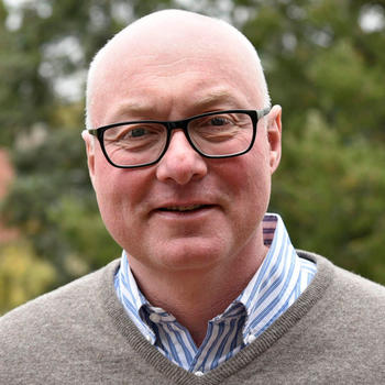
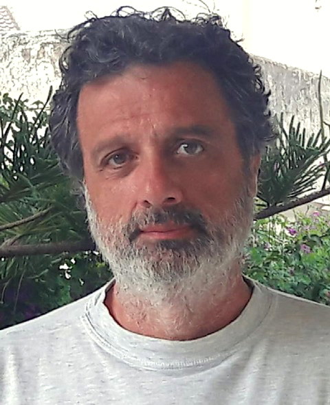
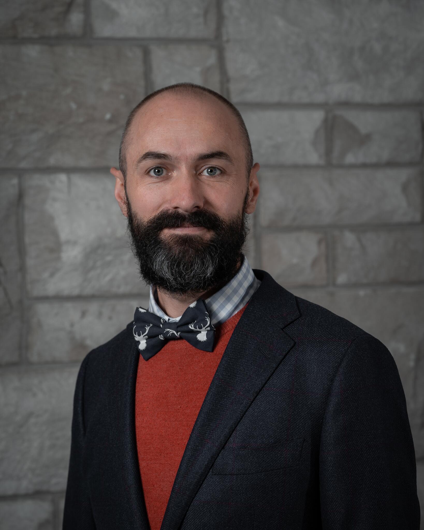
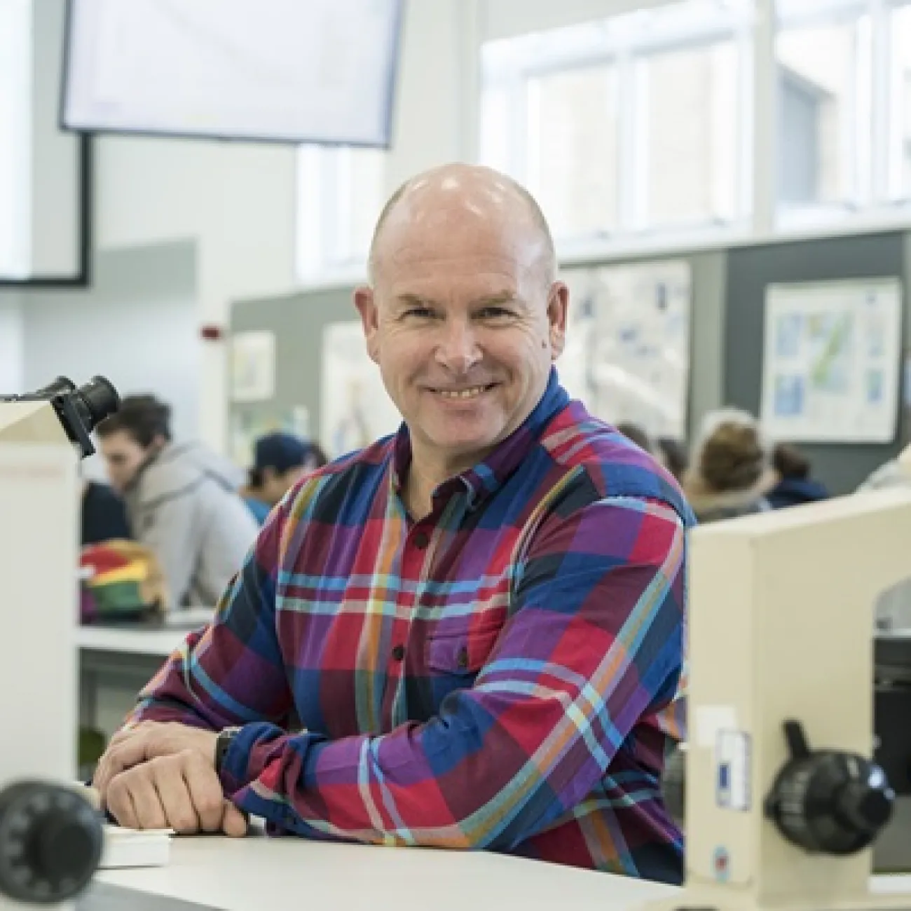
Prof. Serge A. Shapiro is a Full Professor of Geophysics at Freie Universität Berlin since 1999 and Director of the PHASE consortium since 2004. He holds a Diploma in Applied Geophysics from Lomonosov Moscow State University (1982), a PhD from the Moscow Research Institute of Geosystems (1987), and a Habilitation from Karlsruhe University (1995). His research focuses on seismogenic processes, induced seismicity, rock physics, and subduction zone dynamics, with applications to geothermal energy, CO2 storage, and hydraulic fracturing. Education: Diploma in Applied Geophysics, Lomonosov Moscow State University (1982) PhD in Geophysics, Moscow Research Institute of Geosystems (1987) Habilitation, Karlsruhe University (1995) Research Interests: Induced seismicity from fluid operations CO2 storage and hydraulic fracturing risks Seismic hazard assessment Rock physics under stress Key Contributions: Developed the Seismogenic Index Model for induced earthquakes Pioneered DAS-based seismic monitoring techniques Advanced understanding of fault stability and pressure diffusion effects Awards: Virgil Kauffman Gold Medal (2013) for work in microseismic monitoring and rock physics Grants & Projects: PHASE consortium leader (2004–present) Utah FORGE EGS project advisor Labs/Teams: Seismology Group, Freie Universität Berlin PHASE university consortium
Paul A Kapp is a Professor in the Department of Geosciences at the University of Arizona. His expertise spans continental tectonics, regional geology, structural-stratigraphic analysis, and eolian processes, with a focus on Asia and Cordilleran orogenic systems. Fieldwork includes geologic mapping, kinematic analysis of structures, and stratigraphic section measurements across Precambrian to Quaternary rock types. University: University of Arizona Department: Geosciences Email: pkapp@arizona.edu Research interests emphasize quantifying timing and rates of tectonic processes via geochronology and thermochronology. Key themes include Tibetan Plateau uplift, lithospheric dynamics in collisional zones, and eolian-landscape interactions. His work integrates field observations with analytical methods to understand orogenic plateau formation and paleoelevation reconstruction. Recent publications highlight tectonic-climate feedbacks, mantle melting mechanisms in Tibet, and crustal deformation in the North American Cordillera. Articles often address geodynamic modeling, basin evolution, and isotopic dating applications, reflecting a multidisciplinary approach to orogenic and sedimentary systems.
Sandro Conticelli is a Full Professor of Igneous and Metamorphic Petrology at the University of Florence, Italy, and Director of the Institute of Environmental Geology and Geoengineering (CNR-IGAG) in Rome. He has held leadership roles, including President of the Geological Society of Italy since 2018 and Editor-in-Chief of the Italian Journal of Geosciences since 2010. His academic career spans over three decades, with previous positions at the University of Basilicata and international postdoctoral fellowships in Canada, Germany, and the U.S. He earned a Laurea in Geology (cum laude) from the University of Florence in 1983 and a Ph.D. in Mineralogy and Petrology from Florence and Perugia Universities in 1988. His research focuses on volcanic and magmatic systems, isotope geochemistry, and the application of analytical techniques to study geological and agricultural matrices. Key research interests include: volcanic processes in Italy, Spain, Greece, and other regions; mantle geochemistry; analytical methods (XRF, ICP-MS, TIMS); and isotope geochemistry for tracing agricultural products like wine. He has authored/co-authored over 120 peer-reviewed articles, with a h-index of 49. Conticelli has received prestigious awards, including the 2016 Luigi Tartufari Prize for Geosciences and the 1991 Angelo Bianchi Prize for Young Petrologists. He serves on editorial boards of major journals and international scientific societies, contributing to advancing volcanology, geochemistry, and petrology. His work bridges fundamental geoscience with applied research, such as geochemical tracing of terroir in wines and olive oils, and investigating CO 2 emissions from active volcanoes like Etna. He leads interdisciplinary projects involving international collaborations, emphasizing both field-based and laboratory analytical approaches.
Professor Meghan S. Miller is an academic at the Australian National University (ANU), serving as a Professor in the Research School of Earth Sciences, specializing in Geophysics. She holds an ARC Future Fellowship, focusing on advancing Distributed Acoustic Sensing (DAS) technology for seismic imaging. Her research emphasizes observational seismology, particularly at critical tectonic plate boundaries such as subduction zones and continental collision zones. Education: Ph.D. in Geophysics from ANU (2006), M.Eng. from Cornell University (2000), M.S. from Columbia University (1999), and B.A. from Whittier College (1997). Research interests include seismic imaging of Earth’s structure, dynamics of subduction zones, and the application of novel techniques like DAS for high-resolution subsurface imaging. She has led projects such as the Southwest Australia Seismic Network (SWAN) and the SISSLE experiment in New Zealand. Key achievements include over 100 peer-reviewed publications, supervising numerous graduate students, and leading international collaborations in Indonesia, Alaska, and Morocco. Awards include the ARC Future Fellowship (2022–2026). Labs/Teams: Active in the AuScope Earth Imaging Program and collaborates with institutions like Geoscience Australia and Macquarie University.
Dr. Christopher Spencer is an Assistant Professor in the Department of Geological Science and Geological Engineering at Queen’s University, Canada. His research focuses on the formation, destruction, and evolution of the continental crust through field-based studies and geochemical analysis. He holds adjunct roles at Curtin University and Syracuse University, and serves as an editor for journals including the Canadian Journal of Earth and Sciences, Himalayan Geology, and Geophysical Research Letters. Dr. Spencer earned a Ph.D. in Earth Science from the University of St Andrews, and B.Sc./M.Sc. degrees in Geological Sciences from Brigham Young University. His work combines igneous petrology, geochemistry, and geochronology to study tectonic processes and atmospheric oxidation history. Key research locations include Oman, China, India, Japan, and Canada. Awards include the GSA Donath Medal (2020) and John Curtin Fellowship (2015). His research interests span tectonochemistry, sediment subduction dynamics, and the interplay between biosphere and lithosphere. Current projects investigate modern tectonic processes, crustal evolution, and the Paleoproterozoic 'tectono-magmatic lull.' He actively supervises postdoctoral researchers and recruits students for fieldwork in the North American Cordillera, Marianas, and Oman ophiolite.
Rex N Taylor is a Professor in the School of Ocean and Earth Science at the University of Southampton. With over 20 years of academic experience, he has developed both undergraduate and postgraduate courses in geology and environmental geoscience, specializing in volcanology, igneous systems, and analytical geochemistry. His research takes him on fieldwork and research cruises across the globe, including a notable 2019 submersible dive to 5700m in the Philippine Sea to explore the earliest volcanoes of the Western Pacific. Taylor's research focuses on volcanic geochemistry, particularly using high-resolution Pb isotope studies to investigate magma evolution and catastrophic volcanic eruptions across diverse tectonic settings including mantle plumes, island arcs, and mid-ocean ridges. His work spans multiple continents and ocean basins, with significant contributions to understanding the geochemical processes in the Afar triple junction, Ethiopian Rift, Tenerife volcanic system, and Western Pacific subduction zones. Analysis of Taylor's recent publications (2022-2025) reveals a strong focus on mantle dynamics, magma evolution processes, and the geochemical signatures of different tectonic settings. His research combines field observations with advanced geochemical techniques, particularly isotope studies, to unravel complex volcanic systems. A recurring theme is the investigation of how deep Earth processes manifest in surface volcanic activity across various geological timescales. Taylor actively supervises PhD students including Morgan George Alun Bugler and Daniel Christopher Howcroft through the INSPIRE program. He has developed a Virtual Fieldwork portal that provides multi-scale visualization of geological field localities, from satellite imagery down to microscopic views, demonstrating his commitment to innovative teaching methods in earth sciences.
Andrew Goodliffe is an Associate Professor and Associate Dean for Graduate Admissions, Recruitment, and Fellowships at the University of Alabama's Department of Geological Sciences. His primary affiliations include the College of Arts and Sciences and the Department of Geological Sciences. He specializes in tectonics, basin evolution, and geophysics, with a focus on continental rifting, rift basin dynamics, and subduction processes. His research spans regions such as the Woodlark Basin, Gulf of Corinth, and the Black Warrior Basin. Education details are not explicitly provided in the text. However, his career trajectory suggests advanced training in geology and geophysics, likely including a PhD in a related field. His work integrates field data, seismic imaging, and numerical modeling to address questions about tectonic processes and resource management. Research interests prominently feature continental rifting, rift-to-spreading transitions, and the structural evolution of active margins. He has extensively studied the Woodlark Basin (Papua New Guinea) and the Gulf of Corinth (Greece), contributing to understanding mechanisms of lithosphere thinning, fault systems, and seismic hazards. His recent focus includes groundwater vulnerability assessment in coastal Alabama and CO₂ sequestration feasibility. Publications highlight interdisciplinary approaches, combining geophysical data with geological observations. Over 50 articles span topics from subduction zone dynamics to educational initiatives like GeoPRISMS integration in undergraduate curricula. Grants and advising activities are not detailed here, but his role as Associate Dean indicates involvement in graduate education and fellowships. No labs or teams are explicitly mentioned, though collaborations are implied through multi-institutional projects like the MARGINS/GeoPRISMS program.
Craig O'Neill is an Associate Professor in Geophysics/Remote Sensing at the School of Earth & Atmospheric Sciences, Faculty of Science, Queensland University of Technology (QUT). His research spans geodynamics, planetary science, geophysics, and engineering geology, with a strong focus on understanding Earth and planetary evolution through computational modeling and geophysical data analysis. His research interests include Geophysics, Geodynamics, Remote Sensing, Planetary Science, Engineering Geology, Geochemistry, and Geology . He applies advanced numerical methods to model planetary interiors, tectonic processes, and geohazards, with recent work exploring early Earth crust formation, Venusian core dynamics, exoplanet thermal evolution, and applied geophysical techniques for engineering and environmental monitoring. The trend in his recent publications shows a strong interdisciplinary focus, combining computational geophysics with planetary science and Earth systems analysis. His work appears in leading journals such as Nature , Science Advances , and Geophysical Research Letters , covering topics from asteroid impacts and craton formation to ambient noise tomography and groundwater response to climate change. Professional Memberships: Australian Society of Exploration Geophysicists American Geophysical Union Australian Geomechanics Society Craig O'Neill supervises research students in areas such as lunar seismology and planetary geodynamics. While no specific grants are listed in the provided text, his extensive publication record and active research programs suggest ongoing funding support. He has developed open-source tools like Planet_LB for lattice-Boltzmann modeling of planetary systems. He is actively involved in the geophysics community, with scholarly profiles on ORCID, Google Scholar, and Scopus, and shares his research via X (formerly Twitter). His work bridges fundamental planetary science with practical geophysical applications.
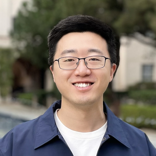
Jiaxuan Li is an Assistant Professor of Geophysics in the Department of Earth and Atmospheric Sciences at the University of Houston's College of Natural Sciences and Mathematics. His research focuses on developing fiber-optic sensing technologies for seismic monitoring across diverse geological environments including volcanic, crustal, and glacial settings. Dr. Li's educational background includes a Ph.D. in Geophysics from the University of Houston (2015-2020) and a B.S. in Geophysics from Peking University (2011-2015). He previously held a postdoctoral position at Caltech Seismolab under Prof. Zhongwen Zhan. His research program centers on distributed acoustic sensing (DAS) applications, with major contributions in volcanic eruption forecasting through minute-scale magma migration imaging, earthquake rupture dynamics via high-frequency fault asperity analysis, and subsurface characterization for carbon sequestration and geothermal energy. Recent work demonstrates DAS capabilities as dense geodetic arrays for real-time volcanic monitoring systems deployed in Iceland through collaborations with the Icelandic Met Office and Reykjavik University. Analysis of Dr. Li's publication record reveals a strong emphasis on operationalizing fiber-optic networks for geophysical monitoring, with significant advancements in eruption early warning systems, earthquake source characterization, and subsurface imaging techniques. His work bridges fundamental seismological research with practical hazard mitigation applications. Dr. Li actively mentors graduate students and recently welcomed postdoc Dr. Tianfan Yan to his research team. His lab operates real-time DAS streaming systems for volcanic eruption monitoring in Iceland, developed through international collaborations involving the University of Houston, Caltech, Ljósleiðarann, and Reykjavik University. Current research directions include expanding DAS applications for carbon sequestration verification and deep geothermal reservoir characterization.
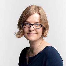
Professor Ana Ferreira is a leading seismologist at University College London, focusing on deep Earth structure and earthquake source processes. Her research integrates seismic and geodetic data to understand planetary dynamics from the surface to the lowermost mantle. Her work includes pioneering seismic tomography, such as the SGLOBE-rani 3D anisotropy model, and earthquake source analysis using InSAR and normal mode data. She leads the Seismological Laboratory and teaches Seismology II and Field Geophysics. Recent projects include the UPFLOW experiment, which deployed 49 ocean bottom seismometers in the Atlantic, and studies on Greenland ice sheet evolution and Tonga volcanic eruptions. Her EU-funded research emphasizes multidisciplinary data integration and numerical modeling. Key article trends cover mantle anisotropy, global tomography, earthquake source inversion, cosmology-inspired machine learning, and ocean bottom seismology applications in geodynamics and cryospheric processes.
Klaus Wallmann is a Professor and Head of the Research Unit Marine Geosystems at GEOMAR Helmholtz Centre for Ocean Research Kiel and the Christian-Albrechts-University (CAU) Kiel. His research focuses on marine biogeochemistry, particularly gas hydrates, fluid flow, nutrient cycling, and the geochemical evolution of oceans and atmosphere. He leads major research initiatives including the Cluster of Excellence 'The Future Ocean' and coordinates EU projects such as MIGRATE and GEOSTOR. Dipl. Chemistry, Philipps University of Marburg (1986) Dr. Ing., TU Hamburg-Harburg (1990) PD Dr. habil (Geosciences), CAU Kiel (1999) His research interests center on marine biogeochemical processes, including the microbial degradation of organic matter, gas hydrate formation, nutrient recycling, isotopic trends in marine carbonates, and numerical modeling of ocean-atmosphere evolution. He investigates cold seeps, mud volcanoes, and subduction zones to understand volatile cycling and seafloor dynamics. His recent publications reveal a strong focus on carbon cycling and climate mitigation, particularly through sub-seabed CO₂ storage, seafloor alkalinity enhancement, and the impact of anthropogenic activities on marine carbon storage. His work combines field observations, experimental data, and advanced numerical models to explore long-term geochemical trends and modern environmental challenges. Scholarship from the Evangelical Study Foundation, Haus Villigst (1982–1986) Wallmann has supervised numerous students and collaborators, contributing to major discoveries in marine methane dynamics, gas hydrate systems, and ocean deoxygenation. His research is supported by extensive fieldwork, ocean expeditions, and leadership in collaborative programs such as SFB 574 and SFB 754. He has played a central role in assessing the environmental impacts of CO₂ storage and natural gas hydrate exploitation. He leads research in marine geosystems at GEOMAR, focusing on biogeochemical feedbacks, fluid-sediment interactions, and climate-relevant gas cycling. His team integrates geochemical data, isotopic analyses, and modeling to study processes from molecular to global scales.
Brandon Shuck is an Assistant Professor in the Department of Geology & Geophysics at Louisiana State University (LSU), part of the College of Science. His research focuses on solid-earth geophysics, particularly tectonic processes within plate boundaries and mature tectonic settings. He uses active-source seismic reflection and wide-angle ocean-bottom seismometer data to image subsurface lithospheric architecture and integrate interdisciplinary datasets including bathymetry, borehole logs, and geodynamic models. Education: Ph.D. in Geological Sciences (2021) from the University of Texas at Austin; B.S. in Geology (Petroleum Emphasis) and Mathematics (2015) from Western Colorado University. Previously served as a Postdoctoral Fellow at Lamont-Doherty Earth Observatory, Columbia University (2021–2024). Research Interests: Tectonic evolution of the lithosphere at plate boundaries, feedbacks between lithospheric stress and fluid-rock interactions, geologic hazards related to subduction zones, and mantle dynamics during continental breakup. Active projects include studies of subduction initiation in the Tyrrhenian Sea, megathrust fault segmentation in Cascadia, and water content in the Cocos Plate offshore Mexico. Current opportunities include an NSF-funded PhD position (starting Fall 2025) investigating mantle dynamics during early Atlantic seafloor spreading, involving seismic data acquisition on the R/V Langseth. His group emphasizes collaborative, interdisciplinary approaches combining seismic imaging, field geology, and modeling. Awards: None explicitly listed, though his work has been supported through NSF funding and institutional grants. Lab/Team: Directs the LSU Solid-Earth Geophysics Research Group, which integrates geophysical data analysis with field observations to address tectonic questions at multiple scales.
Boris Kaus is a Full Professor and Chair of Geophysics and Geodynamics at the Institute of Geosciences, Johannes Gutenberg University Mainz, Germany. His research focuses on understanding geological processes from grain scale to planetary scale using mathematical and numerical models. Funded by the German Research Foundation, European Research Council, and BMBF, his work spans lithospheric deformation, melt migration, fold-and-thrust belts, and high-performance computing applications in geosciences. His research interests center on geodynamic modeling of lithospheric processes, including subduction zones, mantle convection, and crustal deformation. Kaus develops novel numerical approaches to simulate complex geological phenomena, with emphasis on coupling between erosion, lithosphere dynamics, and mantle flow. His group creates specialized software for high-performance computing systems to tackle multi-scale geophysical problems. His scientific awards include the Paul Niggli Medal, EGU Arne Richter Award, multiple ERC grants (Starting, Proof-of-Concept, Consolidator), and the Carl Friedrich Gauss Lecturer honor. He has received recognition for editorial contributions including G-Cubed's Excellence in Refereeing award. ERC Consolidator Grant MAGMA (2018-2023) ERC Proof of Concept Grant SALTED (2016-2017) ERC Starting Grant MODEL (2010-2015) John von Neumann Excellence Project for HPC ETH Medal for Ph.D. thesis Kaus actively supervises graduate students and leads research projects funded by major European and German agencies. His group develops open-source software like GeophysicalModelGenerator.jl and maintains strong collaborations with international institutions including ETH Zürich and USC. Current projects focus on magma dynamics, lithospheric shear localization, and the development of advanced numerical methods for geodynamic simulations. The research group operates within the Geodynamics & Geophysics team at JGU Mainz, utilizing high-performance computing resources and collaborating with multiple European research initiatives including IMPRS and FORTHEM networks. Their laboratory specializes in numerical modeling of Earth systems with applications to tectonics, volcanology, and crustal evolution.
Emma Hill is a Professor at the Asian School of the Environment and Interim Director of the Earth Observatory of Singapore (EOS) at Nanyang Technological University (NTU), Singapore. Her research focuses on space geodesy applications to climate change and natural hazards, particularly earthquake risks in the Sumatran subduction zone and sea-level variations through GRACE satellite data and tide-gauge networks. Research Themes : Tectonic deformation, coastal sea-level monitoring, geodetic data fusion Technologies Used : High-precision GPS, GRACE satellite gravity, GNSS Interferometric Reflectometry Her work emphasizes interdisciplinary approaches to separate geophysical processes in the Earth system. She leads the Geodesy Group , which integrates geodetic observations with broader geoscience research.
Dr. Dibakar Ghosal is an Associate Professor in the Department of Earth Sciences at the Indian Institute of Technology Kanpur (IIT Kanpur). He leads the Crustal Imaging Laboratory (CIL) which is equipped with state-of-the-art seismic data acquisition setup and processing software for both land and marine seismic datasets. His research spans exploration seismology, tectonic studies, and algorithm development for subsurface imaging across diverse geological settings. Dr. Ghosal's educational background includes: PhD in Geophysics (2008-2013) from Institut de Physique du Globe de Paris (IPGP), France M.Sc. in Geophysics (2004-2006) from Indian Institute of Technology Kharagpur, India B.Sc. in Geology, Mathematics and Physics (2001-2004) from Jadavpur University, India His research focuses on three major themes: (1) Tectonic studies across Himalaya, Sumatra-Andaman, and Bay of Bengal using high-resolution seismic datasets; (2) Development of algorithms for petrophysical parameter estimation of hydrocarbon and ore reserves; and (3) Ambient Noise and earthquake data analysis. His work integrates field data acquisition, computational modeling, and advanced algorithm development to address fundamental questions in Earth sciences, with particular emphasis on crustal architecture and resource exploration. His recent publications demonstrate expertise in crustal imaging techniques, tectonic analysis of subduction zones, and algorithm development for seismic data processing. The research spans diverse geographical regions including the Himalayas, Sumatra-Andaman region, Bay of Bengal, and Southern Indian Ocean, with applications to hydrocarbon exploration, tectonic studies, and crustal architecture analysis. Dr. Ghosal has received several prestigious fellowships and awards: 2023: Scientific High Level Visiting Fellowship (SSHN) from French Institute in India (IFI) 2022: INSA visiting scientist fellowship 2019: Visiting Faculty at IPG Paris, France 2019: Visiting Faculty at NTU Singapore 2014-2015: Postdoctoral fellowship, Geocentrum, Uppsala University, Sweden 2008-2012: PhD fellowship, IPG Paris, France Dr. Ghosal actively mentors students and has supervised numerous PhD, MTech, and BS-MS students. His research is supported by multiple sponsored projects from DST-SERB, MoES, ONGC, and other funding agencies. He has successfully completed projects on topics including seismic imaging of the Himalayan foothills, gas hydrate reservoir modeling, and petrophysical property estimation. He leads the Crustal Imaging Laboratory (CIL) at IIT Kanpur, which conducts field work across various regions of India including the Himalayas and offshore areas. The laboratory is equipped with RAUs, 3C Tromino sensors, seismic thumpers, and advanced processing servers. He collaborates with national institutions including NIO Goa, IISER Pune, and NGRI, as well as international institutions such as IPG Paris, Uppsala University, and Texas A&M University.