Mobushir Khanمشاهده پروفایل
پژوهشگر
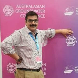
Dr. Mobushir Khan is a Spatial Scientist at the Gulbali Research Institute, part of the Agricultural, Environmental and Veterinary Sciences department at the Gulbali Institute. He holds a PhD in Spatial Sciences for Natural Resources from Twente University, Netherlands, with over ten years of teaching and research experience. His work focuses on geospatial technologies, remote sensing, and GIS applications in agriculture, water resources, and environmental management. He has contributed to projects funded by ACIAR, FAO, ADB, and ISNET, aligning with UN SDGs 2 (Zero Hunger), 13 (Climate Action), and 15 (Life on Land). His research emphasizes precision agriculture, groundwater monitoring, and disease hotspots in livestock. Teaching includes courses like GEO303 (Climatology), SPA442 (Remote Sensing), and others. His 63+ publications and datasets address topics like crop mapping, salinity management, and climate modeling. Notable outputs include a 2024 report on salinity adaptation in Pakistan and blogs on precision agriculture tools. Media highlights include a 2020 SBS article on an app aiding Pakistani farmers.