- Remote Sensing
- Deep Learning
- Land Use Dynamics
- +۵ مورد دیگر
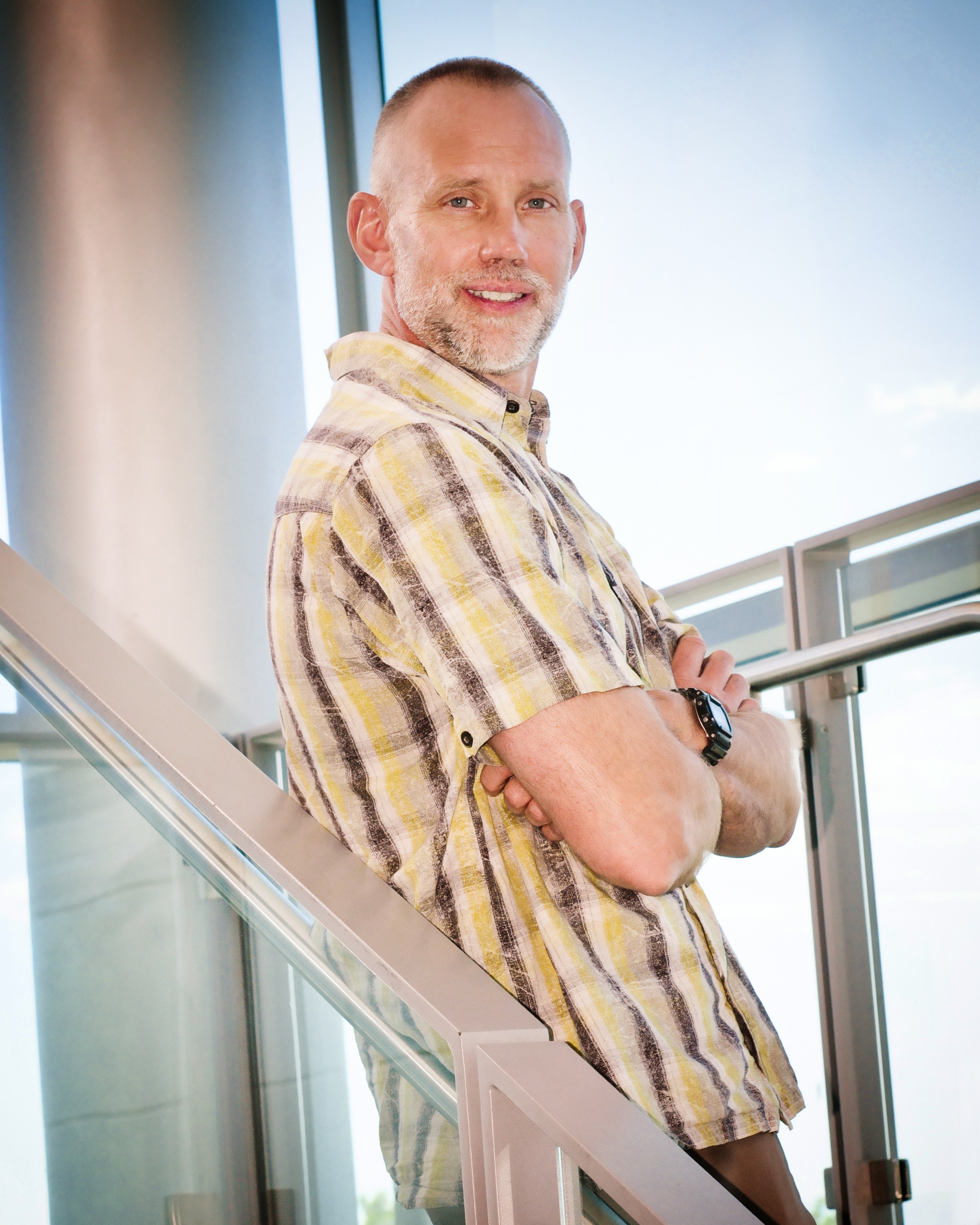
Robert Masolele is a Researcher at the Laboratory of Geo-information Science and Remote Sensing , part of Wageningen University . His work focuses on leveraging Earth Observation (EO) and artificial intelligence (AI) to analyze land use dynamics, deforestation drivers, and forest carbon emissions. He holds a Ph.D. in Remote Sensing and Deep Learning (part of CIFOR's Global Comparative Study on REDD+) and an M.Sc. in Geo-information Science and Earth Observation from University of Twente . With +3 years of experience in forest resource assessment for the Tanzanian Forest Service, his expertise spans spatial statistical modeling , machine learning , and deep learning applications in environmental problems. Research Interests: - Land use characterization and dynamics using satellite time series (Sentinel-1, Sentinel-2, Landsat) - Deforestation monitoring and proximate drivers analysis - AI-driven approaches for automated land use classification - Carbon stock assessment in tropical forests - REDD+ compliance and policy support through transparent monitoring frameworks. Key Projects: Pan-tropical land use classification using spatio-temporal deep learning (2021) Deforestation drivers in the Democratic Republic of Congo (2024) Miombo woodlands species modeling in Tanzania (2024) Peat forest disturbances in the Cuvette Centrale (2024) Publications Trends: Recent work emphasizes integrating AI with high-resolution EO data to address deforestation and land use change challenges. His 2021 study on pan-tropical land use classification established the efficacy of spatio-temporal models, while 2024 publications highlight artisanal mining impacts and peat forest conservation. Labs/Teams: Core member of the Remote Sensing and REDD+ Monitoring Group at Wageningen, collaborating with CIFOR and global initiatives like the Global Comparative Study on REDD+.