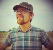
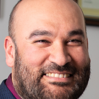
Dr. Adam Green is a Lecturer in Sustainability at the University of York, with dual appointments in the Department of Archaeology and Department of Environment and Geography. His research focuses on the relationship between inequality and sustainability, drawing on interdisciplinary methods from archaeology, economics, and agronomy. He specializes in South Asian archaeological studies, particularly the Indus Civilization, and collaborates with global researchers to address contemporary sustainability challenges. Green holds a PhD in Anthropology from New York University (2015) and has held positions at the University of Cambridge and King’s College, Cambridge. His work integrates computational methods to analyze large-scale archaeological datasets, exploring long-term economic trends and equitable governance models. He leads projects like the NSF-funded Gini Project and collaborates with institutions such as Punjab Agricultural University and the International Crops Research Institute. His teaching includes modules on past environments and sustainability frameworks. Green actively promotes dialogues between academia and communities to advance sustainable development, emphasizing historical insights to inform present policies.
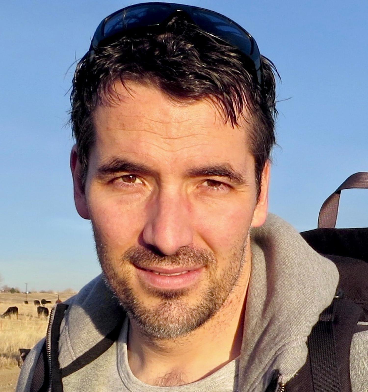
Jamal Jokar Arsanjani is a full professor in Geoinformatics and Earth Observation at Aalborg University (Denmark), leading the Geoinformatics & Earth Observation group. He holds a PhD from the University of Vienna (2011), with postdoctoral research at Heidelberg University supported by an Alexander von Humboldt fellowship (2012–2015). His academic career includes roles as a UN consultant in Vienna and senior scientist at Heidelberg's GIScience group. Research focuses on integrating geospatial data with computational models to address complex environmental challenges, including land use change, climate impacts, and natural hazards. Key methodologies include agent-based modeling, machine learning, and remote sensing. He contributes to UN Sustainable Development Goals, particularly SDGs related to climate action, sustainable cities, and responsible consumption. Recent projects include 'PROMISE' (micro-mobility integration in urban transport) and 'AI4Covid' (AI-driven pandemic monitoring). Awards include the Springer Outstanding PhD Dissertation (2012) and an Earth Observation award (2020). He serves on the European Environment Agency board and edits the journal Land . Research outputs span 105+ publications since 2008, emphasizing urban sustainability, disaster resilience, and geospatial technologies. Active in 7 ongoing projects and 45+ academic activities, he advises on policy and innovation in smart cities and climate adaptation.
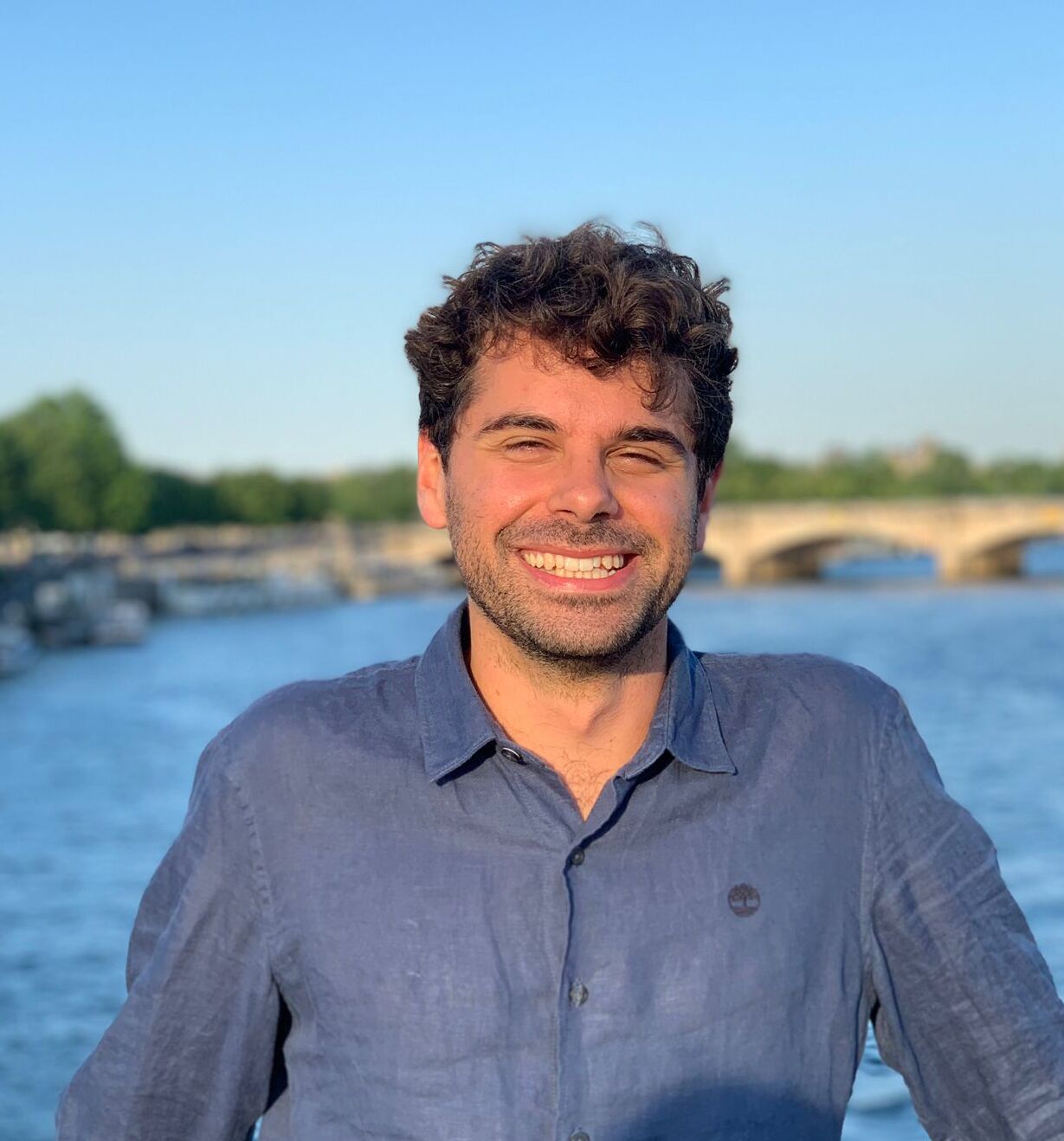
Lyndon Estes is an Associate Professor in the Graduate School of Geography at Clark University. His research focuses on the drivers and impacts of agricultural change, utilizing Earth Observation technologies and modeling techniques such as neural networks. He has contributed to interdisciplinary studies in conservation biology, agricultural economics, and geospatial analysis, with a particular emphasis on African ecosystems and smallholder farming systems. Dr. Estes' work spans multiple domains, including landscape connectivity for wildlife conservation, transportation infrastructure impacts on agricultural supply chains, and the application of advanced machine learning methods to remote sensing data. He has authored over 19 publications, with recent contributions appearing in journals like Remote Sensing , Field Crops Research , and Agricultural Systems . In editorial roles, he serves as Specialty Chief Editor for 'AI in Food, Agriculture and Water' at Frontiers in Artificial Intelligence . His research integrates technical innovation with practical applications, addressing global challenges in sustainability and food security.
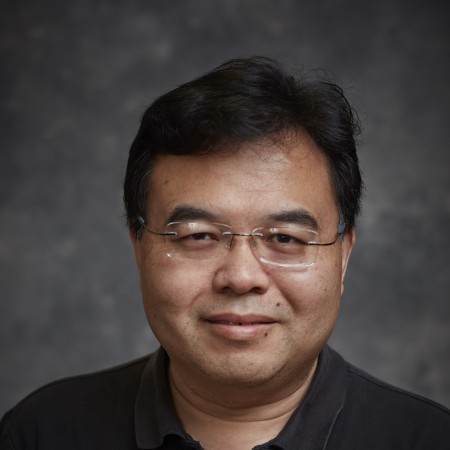
Dr. Fang Qiu is a Professor of Geospatial Information Sciences at the University of Texas at Dallas (UTD), serving in the School of Economic, Political and Policy Sciences. He holds a Ph.D. in Geographic Information Sciences from the University of South Carolina (2000), an M.S. in Geographical Information Systems from the Chinese Academy of Sciences (1993), and a B.S. in Geography with GIS emphasis from China Normal University (1990). His research focuses on remote sensing technologies, including LiDAR and hyperspectral imaging, spatial analysis, and GIS software development. Notable work includes urban forest inventory using LiDAR and hyperspectral data, and the development of web-based GIS tools such as GWASS. He has received the 2012 AAG Remote Sensing Specialty Group Early Career Paper Award for his contributions. Dr. Qiu has secured significant grants, including a $3 million NASA-funded project for Earth science data integration (2004–2009) and a Dallas Urban Forest Advisory Committee grant for tree inventory (2008–2009). He serves on editorial boards, including as Vice Chair of the AAG Spatial Analysis and Modeling Group, and has reviewed for journals like Geographical Analysis and ISPRS Journal of Photogrammetry and Remote Sensing . His professional roles include Department Head of the School of Economic, Political and Policy Sciences at UTD since 2013 and Associate Professor (with tenure) from 2006–2014. He has also held leadership positions in organizations such as the International Association of Chinese Professionals in GIS.
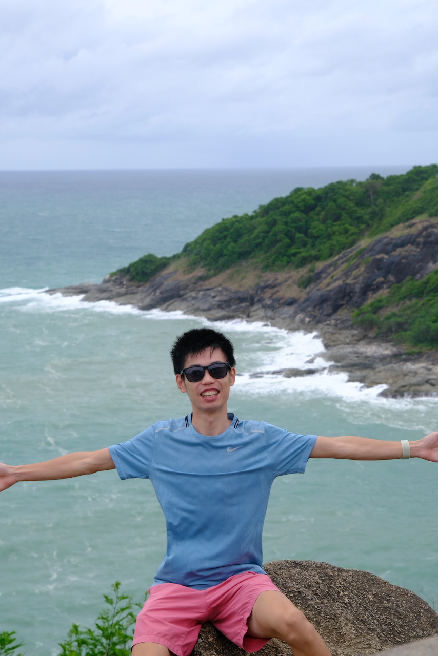
Zhaozheng Chen is a Research Scientist at Singapore Management University (SMU), affiliated with the School of Computing and Information Systems (SCIS) and the Department of Computer Science. He holds a Ph.D. in Computer Science from SMU (2020–2023) and a B.Sc. in Computer Science and Technology from Shandong University (2015–2019). His research focuses on computer vision and machine learning, with particular emphasis on weakly-supervised learning, semantic segmentation, and deep learning applications in multi-task frameworks. **Education**: Ph.D. in Computer Science, Singapore Management University (Jan 2020 – Dec 2023; Advisor: Prof. Qianru Sun) B.Sc. in Computer Science and Technology, Shandong University (Sep 2015 – Jun 2019; Advisor: Prof. Liqiang Nie) **Research Interests**: Zhaozheng’s work spans computer vision, machine learning, and deep learning, with recent contributions to weakly-supervised semantic segmentation, class activation maps, and multi-task learning for urban perception. He also explores applications in virtual try-on systems and text classification. **Awards**: He has been awarded the SMU Presidential Doctoral Fellowship (2022/2023 and 2023/2024), the SCIS Dean’s List (2023), and national scholarships for academic excellence. Notably, he secured a Bronze Medal in the ACM-ICPC Asia Regional Contest and a Meritorious Winner title in the Mathematical Contest in Modeling. **Teaching & Work Experience**: He served as a Teaching Assistant for CS 701 (Deep Learning and Vision) at SMU (2021–2022). Prior to his Ph.D., he interned at YouTu Lab, Tencent (Oct 2018 – Jan 2019), working under Dr. Xiaoyong Shen. Currently, he advises under Prof. Qianru Sun’s research group and contributes to open-source projects like ReCAM and LPCAM on GitHub. **Professional Services**: He actively reviews for top conferences including BMVC, ICCV, ECCV, IJCAI, CVPR, and journals such as IJCV, IEEE TPAMI, and ACM TOMM.
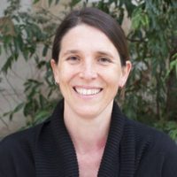
Dr. Eugenia Nijgh de Sampayo Garrido is a Research Fellow at the University of Queensland 's School of the Environment within the Faculty of Science . Her research focuses on coral reef ecology , particularly the symbiotic relationships between corals and Symbiodinium algae, and how these associations influence reef resilience under climate change . Education : PhD in Coral Symbiosis (University of Queensland, 2008) Key Research Areas : Symbiotic flexibility in climate-stressed corals Latitudinal range dynamics of coral communities Larval recruitment and settlement ecology Microbial community interactions in reef systems Publication Trends show consistent focus on coral-Symbiodinium interactions (2008-2023), with recent work on marine heatwave impacts (2023), microbiome plasticity (2020), and adaptive mechanisms in marginal reef populations (2017). She collaborates extensively with Prof. John Pandolfi 's lab and contributes to PeerJ consensus studies (2023). Supervision : Available for supervision, with completed roles as associate advisor for three PhD projects (2019-2022) examining coral range dynamics , early life history interactions , and maternal investment trade-offs .
Mohamed Atia is an Associate Professor in the Department of Systems and Computer Engineering at Carleton University's Faculty of Engineering and Design. He conducts research in sensor fusion for autonomous systems, including robotics, autonomous vehicles, and the Internet of Things, with an emphasis on real-time embedded implementation. PhD, Electrical and Computer Engineering, Queen’s University (2013) M.Sc., Computer Systems, Ain Shams University (2006) B.S., Computer Systems, Ain Shams University (2000) His research focuses on sensor fusion , integrating data from heterogeneous sensors such as GNSS, IMU, Vision, Radar, and LiDAR under real-time constraints on embedded platforms like FPGAs and microcontrollers. He applies advanced signal processing, estimation theory, machine learning, and AI to solve challenges in state estimation, observability, fault tolerance, and concurrency management. Dr. Atia’s work has applications in intelligent vehicles, indoor navigation, mobile robotics, smart buildings, medical devices, and remote sensing . He leads a research lab focused on embedded multi-sensor systems, where students develop practical solutions for autonomous navigation and SLAM. His teaching emphasizes hands-on learning through labs and projects. He teaches undergraduate courses in computer systems, embedded systems, and signal processing, and a graduate course (SYSC 5807) on Advanced Topics in Computer Systems, specifically Sensor Fusion Systems . Scientific Awards: Alberta Innovate Association Award (2011) IEEE Excellence in PhD Research (2013) Mitacs Elevate Industrial Postdoc Award (2014) NSERC PDF Award (2015) Queen’s University Teaching Award (2016) Dr. Atia has advised graduate students such as Hamza Sadruddin and Alan Zhang , who have presented at IEEE Sensors and ION GNSS+ conferences, with Zhang winning Best Presentation. He has no listed grants in the provided text but has received prestigious fellowships. His research lab supports innovation in real-time embedded sensor fusion with links to industry and open-source tools.
Susan L. Ustin is a Professor in the Department of Land, Air, and Water Resources at the University of California Davis, where she has been a faculty member since 1999. She is also the Associate Director of the John Muir Institute of the Environment and Head of the Center for Spatial Technologies and Remote Sensing (CSTARS). Her academic journey began with a Ph.D. in Botany from UC Davis in 1983, followed by a postdoctoral fellowship working with NASA's Jet Propulsion Laboratory on imaging spectroscopy. Ph.D. in Botany, University of California Davis, 1983 M.A. in Biology, California State University, Hayward, 1978 B.S. in Biology, California State University, Hayward, 1974 Dr. Ustin is a leading expert in remote sensing, with over 30 years of experience applying imaging spectroscopy, LiDAR, thermal, and multispectral data to ecological and environmental problems. Her research spans landscape and ecosystem ecology, focusing on vegetation mapping, invasive species detection, canopy water content estimation, wildfire risk modeling, and climate change impacts. She has developed novel methods for quantifying biophysical and biochemical properties of vegetation using remote sensing technologies. Her recent publications demonstrate a strong trend in integrating multiple remote sensing platforms (LiDAR, hyperspectral, thermal, satellite) to study complex ecological systems. Key research areas include fuel type and canopy structure mapping for wildfire risk, biochemical analysis of plant species, and monitoring environmental disturbances such as oil spills and hurricanes. She has been a key member of NASA's MODIS Science Team and the HyspIRI Preparatory Science Team, contributing to major Earth observation missions. Elected Fellow, American Geophysical Union (AGU), 2017 Honorary Doctorate, University of Zurich, Switzerland, 2010 Outstanding Service Award, American Society of Photogrammetry and Remote Sensing, 2004 Elected Senior Member, IEEE, 2004 SERDP Conservation Project of the Year Award, 2004 Elected Fellow, The Remote Sensing and Photogrammetry Society, 2002 Dr. Ustin has advised numerous graduate students and postdoctoral scholars and has led major research initiatives including the Center for Spatial Technologies and Remote Sensing. She has secured significant research funding from NASA, DOE, and other agencies to support her work on global environmental change and remote sensing applications. Her collaborations span across institutions and disciplines, including work with the National Research Council and Battelle on NEON. She leads the Center for Spatial Technologies and Remote Sensing (CSTARS), which focuses on developing and applying advanced remote sensing technologies for environmental monitoring. The center works on projects ranging from agricultural productivity to wildfire risk assessment and ecosystem health monitoring using airborne and satellite platforms.
Rebecca Muenich is an Associate Professor in the Department of Biological & Agricultural Engineering at the University of Arkansas. Her research bridges watershed modeling, agricultural ecosystems, and the food-energy-water nexus, with a focus on surface hydrology, water quality, and climate impacts. She holds a Ph.D. (2015) and M.S. (2011) in Agricultural & Biological Engineering from Purdue University, and a B.S. in Biological Engineering (2009) from the University of Arkansas. Her research explores watershed and environmental modeling, agricultural management, urban agriculture, and climate impacts on water resources. Key interests include mitigating nutrient pollution, enhancing ecosystem services, and developing sustainable land-use strategies. Recent publications emphasize machine learning applications in environmental monitoring, phosphorus circularity, and climate-resilient water management. Muenich leads significant grants including a USDA NRCS project on PFAS in agriculture (2023-2027), NSF-STC’s Science and Technology for Phosphorus Sustainability (2021-2031), and DISES research on cyanobacterial blooms (2022-2025). She mentors students in her research group (Muenich Lab) and collaborates on interdisciplinary projects. Lori Libbert New Faculty Commendation (2024) Early Career Alumni Award, UA Engineering (2022) New Face of ASABE (2020) National Science Foundation Graduate Research Fellowship (2009)
Stefan Leyk is a Professor of Geography at the University of Colorado Boulder within the Department of Geography in the College of Arts and Sciences. His research focuses on GIScience, spatial uncertainty modeling, and historical landscape analysis, with significant contributions to cartographic pattern recognition from historical maps and spatial dynamic modeling in public health. He holds a Ph.D. from the University of Zurich and the Federal Research Institute for Forest, Snow and Landscape (2005). His primary research interests include uncertainty in GIScience and spatial uncertainty modeling, land cover change modeling using historical spatial information, cartographic pattern recognition from historical maps, and spatial dynamic modeling approaches in public health. His work bridges historical geography with advanced computational methods, particularly in extracting settlement patterns from historical map archives and developing spatiotemporal datasets spanning centuries. Leyk's recent publications demonstrate strong trends in historical settlement analysis, with major projects like CHRONEX-US and HISDAC-US creating century-long datasets of urban infrastructure and settlement evolution. His work increasingly integrates machine learning with historical map processing, focusing on uncertainty quantification, built-up land validation, and environmental justice applications related to flood risk and coastal hazards. Key thematic areas include long-term urban growth patterns, rural poverty dynamics, and wildfire risk assessment at the wildland-urban interface. Leyk has received significant research funding through collaborative grants including 'HNDS-I: Building Long-term, National-scale Spatiotemporal Data Collections from Historical Map Archives' (2025) and 'HNDS-I: Data Infrastructure for Research on Historical Settlement and Population Growth in the United States' (2021). He actively mentors graduate students including Alek Berg, Caitlin McShane, and Yuying Ren, and teaches advanced GIS courses such as GEOG 4303/5303 GIS: Spatial Programming and GEOG 4103/5303 GIS: Spatial Analytics. His laboratory work centers on geospatial modeling of historical settlement and landscape analysis, with a focus on developing automated methods for processing historical map archives and creating linked spatiotemporal data. Current projects involve machine learning applications for feature extraction from historical maps, uncertainty prediction in built-up land layers, and the development of fine-grained datasets measuring 200 years of land development in the United States.
Prof. Yu Kang is a Professor of Precision Agriculture at the TUM School of Life Sciences, Technische Universität München (TUM). His research focuses on integrating imaging, sensing, and computational methods to study plant-environment interactions. He aims to enhance resource efficiency and reduce environmental impact through precision crop management. Prior to TUM, he held positions at China Agricultural University (CAU) and conducted postdoctoral research at ETH Zurich and KU Leuven. Prof. Yu's career includes roles such as Associate Professor of Crop Science at CAU and postdoctoral fellowships in physical geography. His educational background includes a doctoral degree from the University of Cologne (2014) and undergraduate studies at China Agricultural University. Key research areas include remote sensing for crop health monitoring, hyperspectral imaging for disease detection, and machine learning applications in agriculture. His work has led to innovations in crop nitrogen management and precision phenotyping. Awards include the Innovation Team Award (2019) from the Crop Science Society of China and the GSGS Fellowship (2014) from the University of Cologne.
Davide Viviano is an Assistant Professor in the Department of Economics at Harvard University, affiliated with the Faculty of Arts and Sciences. He holds a Ph.D. in Economics from UC San Diego (2022) and a Master’s in Data Science from Pompeu Fabra University (2017). His postdoctoral research included fellowships at Harvard (2023–2024) and Stanford Graduate School of Business (2022–2023). His research focuses on econometrics, policy design, and causal inference, combining economics with data science to develop statistical methods for social science applications. Key areas include network interference, experimental design, and fair policy targeting. He has contributed to frameworks addressing generalizability of causal effects, remotely sensed outcomes, and synthetic control methodologies. Developed the DynBalancing R package for dynamic treatment effect estimation with high-dimensional covariates. Recipient of featured article status in the Review of Economic Studies (2024) for work on policy targeting under network interference. His advising emphasizes student involvement in research projects, with opportunities for part-time research assistantships. Collaborations include work with institutions like the AEA Registry for field implementations involving over 400,000 participants.
Tao Shi serves as an Assistant Professor in the Department of Statistics at Ohio State University. Dr. Shi completed doctoral studies at the University of California, Berkeley, receiving a Ph.D. in Statistics in 2005. Dr. Shi's academic foundation was established through doctoral research conducted under Professor Bin Yu at UC Berkeley. The dissertation, titled Polar Cloud Detection using Satellite Data with Analysis and Application of Kernel Learning Algorithms , represents a significant interdisciplinary contribution at the intersection of statistical methodology and environmental science. Primary Research Focus: Application of machine learning techniques to environmental satellite data Specialization: Polar region cloud identification systems Technical Expertise: Kernel-based algorithms for complex atmospheric pattern recognition Domain Knowledge: Integration of statistical learning with climate observation systems With two decades of post-PhD experience, Dr. Shi's research program demonstrates how advanced statistical methods can address critical challenges in climate monitoring and atmospheric science. The work bridges theoretical machine learning with practical environmental applications, particularly in analyzing satellite imagery of polar regions.
Andrea Pitacco is an Associate Professor in the Department of Agronomy, Food, Natural Environment and Energy (DAFNAE) at the University of Padova, Italy. His academic field is AGR/03 (Arboriculture and Tree Cultivation), with research focused on viticulture and precision agriculture. Based at the Agripolis campus in Legnaro (Padova), he maintains an active research profile in plant-environment interactions. Dr. Pitacco's research spans multiple dimensions of modern viticulture, with particular emphasis on carbon and water flux dynamics in vineyard ecosystems. His work integrates micrometeorological techniques, remote sensing, and physiological approaches to address climate change impacts on grapevine production. Key research areas include: Carbon footprint analysis and carbon farming potential in vineyards Effects of climate extremes on grapevine physiology Microclimate modification through protective netting systems Soil management impacts on erosion and greenhouse gas emissions Plant-pathogen interactions under abiotic stress conditions His publication record demonstrates strong methodological expertise in eddy covariance measurements and turbulent flow characterization within vineyard canopies. The research output shows consistent focus on Mediterranean agricultural systems with practical applications for sustainable viticulture. Dr. Pitacco actively contributes to understanding how vineyards function as carbon sinks/sources and how management practices can optimize environmental performance while maintaining productivity. His work connects fundamental plant physiology with practical agricultural applications in changing climatic conditions.
Line Katrine Harder Clemmensen is a Professor at the Department of Mathematical Sciences, University of Copenhagen. She specializes in statistical modeling, machine learning, and AI, with emphasis on low resource domains, explainability, and fairness in health/life science applications. She co-founded Interhuman AI as Chief Scientific Officer and maintains an active research program across multiple disciplines. Statistical Modeling Machine Learning Explainable AI Fairness in AI Health/Life Science Applications Her recent publications (2024-2025) span computational biology, neuroscience, environmental science, and emotion recognition. Notable collaborations include interdisciplinary work in pediatric OCD analysis, fungal microbiome prediction, and facial emotion recognition systems. She actively explores fairness and scalability in AI models. Dr. Clemmensen holds 60 publications with significant impact across computational biology (40+ citations), neuroscience (68+ readers), and machine learning (20+ Scopus citations). She has been referenced in news outlets, blogged, and discussed across multiple social platforms.