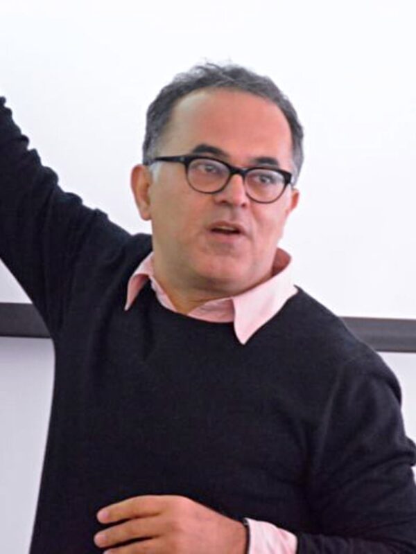
Frank Canters is a Professor of cartography, GIS, and remote sensing at the Department of Geography of Vrije Universiteit Brussel (VUB), leading the Cartography and GIS Research Group. His research focuses on urban remote sensing, spatial modeling of urban environments, and urban ecosystem services. He is renowned for pioneering the Canters projection, a minimum-error world map projection, and has contributed extensively to urban land-use mapping and decision-support systems for urban planning. His work spans over three decades, with 281+ publications and collaborations across multiple disciplines. Key areas include urban form dynamics, remote sensing applications for vegetation and land-use analysis, and spatial justice in green infrastructure distribution. He has supervised 83 students and developed tools like the Q-LavHA plugin for volcanic hazard modeling. Recent research highlights include integrating public perceptions into green space accessibility models, assessing allergenic potentials of urban greenery via LiDAR, and advancing machine learning approaches for urban vegetation mapping. His contributions bridge geospatial technologies with urban sustainability and policy.