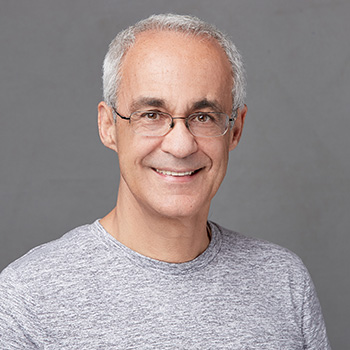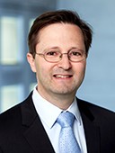
Prof. Andreas Wieser is a Full Professor of Geosensorics and Engineering Geodesy at ETH Zürich's Department of Civil, Environmental and Geomatic Engineering, leading the Institute of Geodesy and Photogrammetry. His work focuses on advanced measurement systems for high-precision positioning, navigation, and geodetic monitoring of infrastructure and natural environments. Notable contributions include parameter estimation methods, quality control frameworks, and sensor optimization for applications like avalanche monitoring, railway deformation analysis, and CERN's Futur Circular Collider project. Education: PhD in Surveying from TU Graz (2001), Thesis: 'Robust and fuzzy techniques for parameter estimation and quality assessment in GPS' Habilitation at TU Graz (2007), Thesis: 'GPS based velocity estimation and its application to an odometer' Postdoc at University of Calgary (2003-2004) Research Interests: Development of multi-spectral LiDAR systems for material probing and distance measurement Integration of sensor technologies for environmental monitoring (e.g., snow depth analysis, hydroelectric dam deformation) High-precision geodetic infrastructure for large-scale projects like CERN's FCC Algorithmic advancements in point cloud registration, radiometric calibration, and uncertainty quantification Honors: 2006 Karl-Rinner Award (Austrian Geodetic Commission) 2003 Erwin-Schrödinger Fellowship (Austrian Science Fund) 2002 Josef Krainer Sponsorship (State of Styria) Grants & Labs: Alpine Metrology Lab: Long-range TLS and permanent GNSS for geomonitoring Leadership on CERN FCC Geodesy project Development of Comb-based multispectral LiDAR systems His work bridges geomatics with engineering challenges, emphasizing practical implementations of advanced sensor technologies across civil infrastructure, environmental science, and heritage preservation.