- Image Processing
- 3D Topographic and Built Environment Modelling
- Deformation Measurement and Analysis
- +۷ مورد دیگر
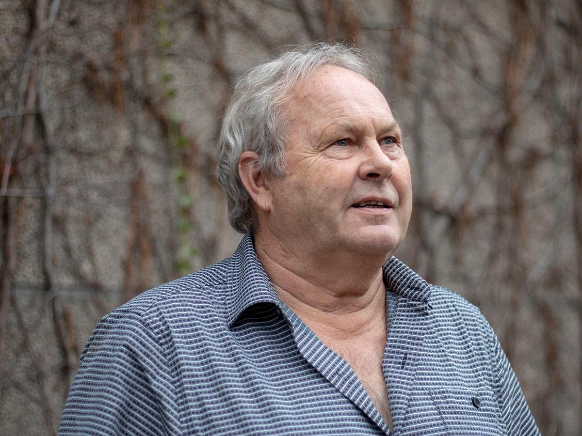
Dr. Michael A. Chapman serves as a Professor in the Department of Civil Engineering at Toronto Metropolitan University, specializing in image processing, deformation analysis, and sensor-integrated geospatial modeling for infrastructure applications. His work bridges civil engineering with advanced computational techniques for real-world problem solving. His academic credentials include a BT from Toronto Metropolitan University (1977), MSc from Ohio State University (1979), and PhD from Laval University (1989). BT: Toronto Metropolitan University (1977) MSc: Ohio State University (1979) PhD: Laval University (1989) Chapman's research centers on deformation monitoring of structures like the Rogers Centre roof, mobile mapping for road condition assessment, and sensor fusion for precision geospatial models. He pioneers applications in pavement deflection measurement using Doppler lasers and mobile laser scanning for infrastructure inspection, emphasizing practical engineering solutions derived from photogrammetry and image metrology. His methodology transforms mechanical observation into digital innovation for civil infrastructure management. His publication portfolio reveals a strong trajectory in merging deep learning with geospatial engineering, particularly in hyperspectral image classification and mobile mapping systems. These works consistently address civil infrastructure challenges through advanced computational approaches, demonstrating evolving sophistication from pavement crack extraction to sea ice mapping. His distinguished recognition includes: Wild Heerbrugg Photogrammetric Award - North America (1981) Chapman actively supervises graduate students and teaches core courses including CVL 207 (Graphics), CVL 352 (Geomatics Measurement Techniques), and CV8506 (Industrial Metrology). He emphasizes adaptive pedagogy to accommodate diverse learning styles, viewing teaching as both professional duty and personal passion. His industry-relevant research often involves partnerships with transportation authorities for real-time infrastructure assessment. His laboratory work focuses on mobile mapping systems and sensor integration platforms for deformation monitoring, particularly applied to large-scale structures and transportation networks. Current projects involve real-time pavement assessment technologies and 3D modeling of built environments using multi-sensor fusion approaches.