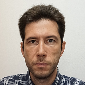
Aurel Florentin Cătălin NEGRILĂ serves as an Associate Professor at Ion Mincu University of Architecture and Urbanism (UTCB), Bucharest, specializing in precision geospatial applications for construction and urban environments. His core research domains include: Geodesy and topographic survey methodologies Precision support networks for cadastre and mapping Advanced 3D modeling techniques (BIM, GIS, CAD) Long-term structural and land behavior monitoring Operational safety analysis through measurement-model integration Professionally, he delivers specialized services encompassing indoor/outdoor laser scanning, construction control, work reception supervision, and urban 3D environment modeling, combining field measurements with static calculations for safety assessments. Contact is facilitated via aurel.negrila@utcb.ro and institutional phone (021 242.12.08/241).
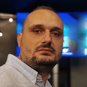
Dr. Andrei ILIE serves as an Assistant Professor at the Technical University of Civil Engineering Bucharest (UTCB), specializing in geodesy and geospatial engineering. His expertise spans satellite and classical geodetic network design, GNSS data processing, and 3D modeling for construction monitoring and topographic surveys. His core research domains include: Geodetic network optimization and statistical analysis GNSS/cloud computing integration for land monitoring Coordinate transformation systems and (quasi)geoid modeling Multi-sensor fusion (GNSS/IMU) for consumer devices AI-driven 3D modeling using neural networks Digital terrain model quality verification Dr. ILIE develops Python/Matlab software solutions for geodetic applications, manages research projects in geodesy, and provides specialized training courses. His work bridges theoretical geodesy with practical implementations in civil engineering contexts.
Marius Călin serves as a Lecturer in the Department of Exact Sciences at the Faculty of Horticulture, University of Agricultural Sciences and Veterinary Medicine of Iasi, Romania. His academic profile bridges computational science with agricultural applications through expertise in Information Technology, Applied Mathematics, and E-learning systems development. His research portfolio centers on five core domains: Soft Computing in Agricultural Sciences: Pioneering fuzzy logic applications for plant breeding and greenhouse management Decision Making under Uncertainty: Developing models for agricultural scenarios with incomplete data Decision Support Systems: Creating tools for land suitability assessment and resource optimization E-learning Applications: Designing specialized platforms for agricultural education Graph Databases: Implementing knowledge representation systems for agricultural data Analysis of his publication trajectory reveals an evolution from foundational fuzzy decision models (2000-2007) toward increasingly interdisciplinary work. Recent publications (2015-2022) demonstrate strong convergence between e-learning infrastructure development and agricultural informatics, particularly through Moodle-based systems for remote education during the pandemic and computational models for soil management. His work consistently emphasizes practical implementation of grid computing and soft computing techniques in agricultural contexts. Dr. Călin has secured significant research funding through seven major contracts, including leadership as USAMV Iasi responsible for the CEEX 1801 grid computing project (2006-2008) and contributions to sustainable soil management initiatives (ECOSEUMET, CNCSIS 738). His grant portfolio demonstrates sustained focus on translating computational research into agricultural solutions. Within the university ecosystem, he serves as Moodle platform administrator and coordinates Informatics discipline activities, fostering cross-departmental collaboration. His professional affiliations include ESNA (European Society for New Methods in Agricultural Research) and ROMAI (Romanian Society of Applied and Industrial Mathematics), reflecting his commitment to interdisciplinary scientific exchange.
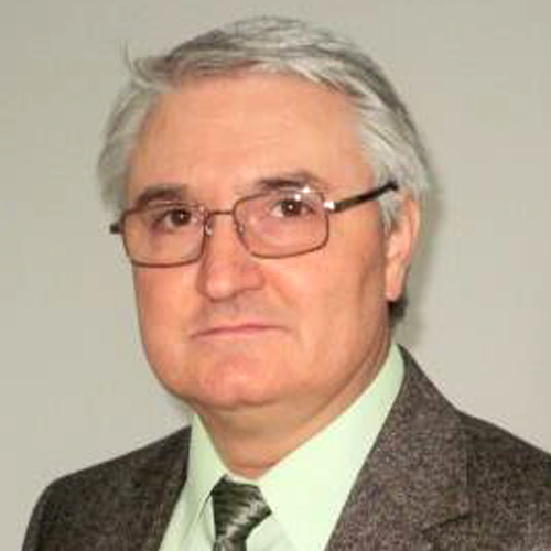
Prof. Gheorghe M. Badea serves as University Professor and Dean of the Faculty of Geodesy at the Technical University of Civil Engineering Bucharest (UTCB), where he has accumulated over 32 years of academic experience. He concurrently holds teaching positions at the "Ion Mincu" University of Architecture and Urban Planning (Faculty of Urban Planning since 1998), University of Bucharest (Faculty of Geography since 2012), and "Ferdinand I" Military Technical Academy (Faculty of Integrated Armament Systems since 2022). His institutional leadership includes membership in the UTCB Doctoral School Council, Faculty Council, Administrative Council, and Senate. Educational milestones include a 1989 Geodesy degree from Bucharest Institute of Construction, a 2003 PhD with thesis "Contributions on the use of cadastral data in the territorial information system", and a 2018 Habilitation in Geodetic Engineering with thesis "Cadastre, geospatial data infrastructures, standards and metadata". His research spans Cadastre, Geospatial Data Infrastructures, and Geodetic Engineering with emphasis on Topography, GIS, Land Administration, Remote Sensing, and 3D Modeling (BIM/GIS/CAD). He has authored 8 books in central publishing houses and 6 UTCB-published academic guides, alongside 100+ scientific articles (30+ ISI-listed), focusing on geospatial data integration for sustainable development, standardization frameworks (ISO 19115/19152), and advanced 3D applications. Prof. Badea has directed or participated in over 50 research contracts while serving as ARACIS/UEFISCDI evaluator and quality assurance trainer. He leads the Center for Geodetic Engineering Measurements and Spatial Data Infrastructures, coordinating doctoral theses in Geodetic Engineering and collaborating with the National Agency for Cadastre (ANCPI) as category D authorized expert. As president of UGR Commission 7 "Cadastre and Territorial Administration" and member of SRFT, he develops technical norms for cadastral systems and advances 2024-2025 research themes: multisource geospatial data modeling for SDGs, geospatial standards integration, and cadastral data for 3D representations.