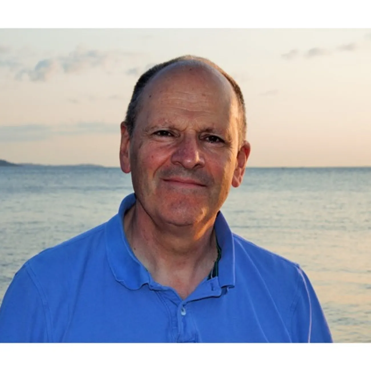
Robert Dell is the Chair Professor in the Department of Industrial and Systems Engineering at the University at Buffalo, School of Engineering and Applied Sciences. He also serves as Managing Director of the Collaborative Institute for Multisource Information Fusion. His research spans optimization, production scheduling, supply chain design, and professional sports analytics. Recent publications highlight his work in military logistics (aircraft maintenance planning, amphibious group routing), integer programming (web session reconstruction, pallet loading), and defense infrastructure optimization. His methodologies integrate machine learning, combinatorial optimization, and geospatial modeling. Scientific achievements include the IFORS Prize Finalist (2012) .
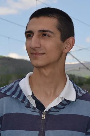
Dr. Kyle Blount is an Assistant Professor at the University of Illinois Springfield, affiliated with the School of Integrated Sciences and the Department of Sustainability and Public Health. His research bridges hydrology, ecology, and societal dynamics, focusing on wildfire and urban development impacts on water and heat distribution. Dr. Blount earned a Ph.D. and M.S. in Hydrology from Colorado School of Mines (2020, 2018) and a B.S. in Environmental Geosciences from Texas A&M University (2013). His work emphasizes remote sensing, hydrologic modeling, and equitable resource management. Research interests include ecohydrology and water resource management , with a focus on urban heat islands, PFAS contamination, and wildfire recovery. Recent articles analyze urban microclimates, outdoor water demand, and post-fire watershed dynamics. At UIS, he teaches courses like Introduction to Environmental Sciences , Ecohydrology , and Environmental Data Analysis with R . He mentors students in groundwater modeling, urban redevelopment projects, and quantitative environmental research. Dr. Blount serves on committees including the Chancellor's Committee on Belonging, Dignity, and Justice and the Institute on Race, Gender, and Social Justice. His outreach includes public lectures at AGU and educational initiatives like the ET Cool Home project.
David Viertel serves as an Associate Professor in the Department of Geology/Geography at Eastern Illinois University, where he maintains an office in Physical Sciences room 2055 (phone: 217-581-6244, email: dviertel@eiu.edu). His primary academic discipline centers on Geography with strong interdisciplinary connections to Geology. His research focuses on three interconnected domains: Fluvial Geomorphology : Long-term analysis of river channel evolution, particularly documenting eight decades of geomorphological changes along Illinois' Little Wabash River through historical mapping and sediment transport studies. Geospatial Applications : Development of GIS methodologies for land use planning, public participation GIS (PPGIS), and integration of Lidar remote sensing with socioeconomic urban analysis. Geoscience Education : Design of interdisciplinary undergraduate research opportunities bridging geography and geology fieldwork. Publication trends reveal sustained investigation of the Little Wabash River system since 2003, with recent 2024 studies advancing fluvial evolution documentation and practical PPGIS frameworks. His work consistently connects physical landscape analysis with human dimensions of planning and education, demonstrating methodological versatility across remote sensing, historical geography, and pedagogical innovation.
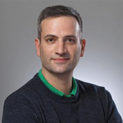
Adrian Spătaru serves as a Lecturer at the Faculty of Mathematics and Computer Science, West University of Timisoara, Romania, with his office located in room 058. He maintains active academic engagement through direct contact channels including email (adrian.spataru@e-uvt.ro) and phone ((0256) 592 157), reflecting ongoing institutional affiliation and research activities within computer science. His research centers on the integration of edge, cloud, and high-performance computing resources within the cloud continuum framework. Key focus areas include service orchestration, resource management, blockchain applications for decentralized systems, and AI-driven optimization of cloud infrastructures. His work addresses critical challenges in heterogeneous platform integration, fault tolerance, and predictive maintenance across large-scale distributed environments, with notable contributions to container deployment and accelerator-aware application specification. Analysis of his publication trends reveals sustained emphasis on the edge-cloud-HPC continuum since 2018, evolving toward intent-based AI orchestration and heterogeneous hardware integration in recent works. His research bridges theoretical distributed systems concepts with practical applications in environmental monitoring (solar forecasting, freshwater quality assessment) and industrial cloud reliability, demonstrating both academic rigor and real-world impact. No scientific awards are documented in the provided institutional information. Details regarding student supervision, research grants, or laboratory affiliations are not specified in the available materials. Current research directions appear focused on advancing the edge-cloud-HPC continuum through heterogeneous platform integration, with 2025 publications indicating active development in this domain.
Julian Antony Quick is a Researcher at the Department of Wind and Energy Systems within the Technical University of Denmark . His work focuses on wind farm optimization, energy management, and market-driven renewable energy systems. Active research in wind farm control and market integration Specializes in hybrid power plant design and uncertainty quantification Contributes to UN Sustainable Development Goals through wind energy research His research explores advanced optimization techniques for wind resource assessment, turbine design, and revenue maximization in electricity markets. Key areas include: Compressed air energy storage integration Wind farm layout optimization Surrogate-based system modeling Dynamic energy management strategies While not explicitly listed, his collaborative projects suggest active involvement in PhD supervision and industry partnerships across Europe. His recent publications demonstrate a strong focus on translating technical advances into economic benefits through: Market-aware wind farm design Data-driven flow control Hybrid system efficiency improvements SDG-aligned sustainable energy solutions
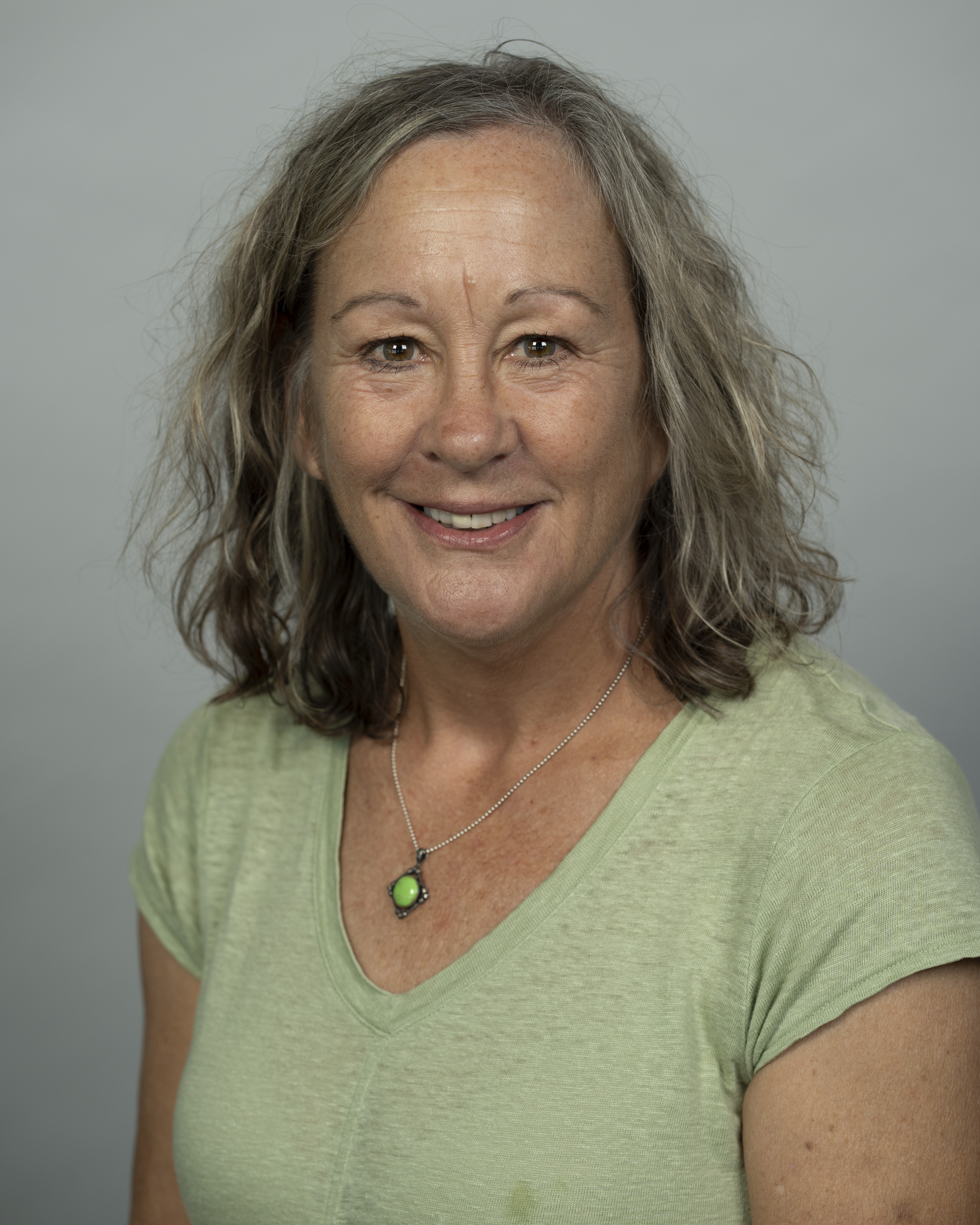
Kristen A. Stafford is an Associate Professor at the University of Maryland School of Medicine , Department of Epidemiology and Public Health. She serves as Technical Deputy Director for CIHEB and focuses on HIV care and treatment programs, aging in HIV patients, and global health initiatives across sub-Saharan Africa. Education: PhD in Epidemiology (2015), MPH in Health Policy & Management (2004), BA in Psychology (1995) Research Interests include HIV epidemiology, aging with chronic infections, global health systems, and non-AIDS defining conditions. Her work spans infectious diseases, women’s health, and statistical modeling for public health interventions. Publications emphasize HIV treatment outcomes in Nigeria and Zambia, SARS-CoV-2 seroprevalence, cluster-randomized trials in infection control, and methodological advancements in epidemiological research. Scientific Awards: Otani Award (2013) for academic performance Trudy Bush Award (2013) for women’s health research Grants include NIH-funded projects like R21AI179493 (HIV prevalence projections) and CDC sub-contracts for HIV epidemic control in Kenya.
Senior Lecturer Göran Samuelsson at Mid Sweden University's Archival and Information Science Section specializes in information preservation and architecture. With a doctorate in history from Stockholm University, he bridges traditional archival practices with modern digital challenges. Doctorate in history (Stockholm University) 30+ years in information flows Former archive strategist at Lantmäteriet Current information specialist at Swedish Transport Administration His research focuses on long-term information preservation strategies, information architecture, and spatial data management. Current projects include: Swedish Transport Administration collaboration on information management Physical infrastructure information integration (sensors, AI) Information reuse in infrastructure projects InterPARES Trust international research Forum for Digitalization (FODI) research group Recent research trends examine: Spatial data preservation frameworks Metadata standards for geospatial information Virtual archival education environments Cross-organizational information continuity Digital information reuse in infrastructure projects AI integration with archival systems Professional roles include: Teaching Archival and Information Science at all academic levels Active in information management for Sweden's Ostlänken infrastructure project Board member of the Cartographic Society Certified business architect
Prof. Dr. Jukka Matthias Krisp is a Professor of Applied Geoinformatics at the Institute of Geography, Faculty of Applied Computer Science, University of Augsburg. He leads the Applied Geoinformatics research team focusing on Location Based Services, Geographic Visualization, Spatial Modeling, and GIS applications in ecological network planning. His research interests span multiple domains within geoinformatics: Location Based Services (LBS) including context modeling, navigation systems, and mobile applications Geographic Visualization and Visual Analytics for complex spatial data representation Spatial Modeling techniques for urban environments and transportation systems Geographic Information Systems applications in ecological network planning and environmental monitoring Indoor navigation systems and 3D spatial representation Prof. Krisp's recent publications demonstrate a strong focus on bicycle routing optimization, spatial analysis of social networks, and the integration of AI technologies like ChatGPT for geospatial data generation. His work often combines traditional GIS methodologies with emerging technologies to address urban mobility challenges, traffic congestion analysis, and sustainable transportation planning. He has made significant contributions to the field of Location Based Services, particularly in context-aware computing and spatial data processing. Among his notable scientific contributions: Development of surface roughness-centric approaches to bicycle routing Innovative methods for estimating night populations using mobile network data Integration of big data and cartographic techniques for understanding urban mobility patterns Application of fuzzy inference systems for traffic congestion analysis Narrative approaches to indoor navigation using 360-degree camera documentation Prof. Krisp actively supervises students and collaborates with researchers internationally. His team includes Pablo Löw, Zulfa Nur'aini Afifah, and former members like Lika Zhvania. He teaches courses such as Advanced Spatial Analysis, Geoinformation Systems and Cartography, and Visual Geodata Mining at the University of Augsburg.
D. Frantz is an Assistant Professor at Trier University , leading the Geoinformatics - Spatial Data Science lab. Their research focuses on transforming Earth Observation (EO) data into actionable environmental insights through preprocessing, data cubes, and machine learning. Current Position : Assistant Professor for Geoinformatics - Spatial Data Science, Trier University (2021–today) Former Role : PostDoctoral Researcher at Earth Observation Lab, Humboldt-Universität zu Berlin (2017–2021) Education : PhD in Environmental Remote Sensing and Geoinformatics, Trier University (2013–2017) Frantz's research emphasizes open science , with all software and methods published as open source ( FORCE ). Key research areas include: EO data preprocessing to analysis-ready data Multi-sensor data integration (Sentinel, Landsat) Land cover fraction mapping and time series analysis Material stock quantification in buildings/infrastructure Climate change mitigation through urban-rural gradient analysis Recent publications highlight work on global material stock mapping , tree species classification in temperate forests, and temporally transferable crop mapping using deep learning. While no explicit awards are listed, their open-source contributions and leadership in the Geoinformatics lab underscore significant academic impact.
Robert Nicholls is a Professor of Coastal Engineering at the University of Southampton , affiliated with the School of Engineering and the School of Ocean and Earth Sciences . He co-directs the MSc Engineering in the Coastal Environment and leads the Coastal Engineering and Management research group. Theme Champion, Society and Government at Southampton Marine and Maritime Institute Southampton Lead, Tyndall Centre for Climate Change Research Editorial Board, Anthropocene Coasts His research focuses on long-term coastal engineering and climate change adaptation , particularly sea-level rise and deltaic area vulnerability . Key projects include the Bangladesh Delta Plan 2100 and the development of the DIVA (Dynamic Interactive Vulnerability Assessment) model for global coastal risk analysis. Recent publications address compound flooding , coastal landfill risks , and adaptation frameworks for deltas . His work informs international policy through contributions to the IPCC , World Bank , and Asian Development Bank . Award Highlights: Roger Revelle Medal (2008) by UNESCO's Intergovernmental Oceanographic Commission Lloyd’s Science of Risk Prize (2012) for climate change research Robert leads major initiatives like the iCOASST Project and ESPA Delta Studies , while supervising PhD students in coastal resilience and flood management.
Meta Berghauser Pont is a Professor of Urban Morphology and Urban Planning at Chalmers University of Technology. She leads the Spatial Morphology Group (SMoG), focusing on quantitative analysis of urban form, space syntax, and design theory. Key research themes: urban density, sustainable cities, social-ecological systems, pedestrian movement modeling Authored the 2023 book Spacematrix: Space, Density and Urban Form , redefining density metrics Her work bridges analytical urban morphology with practical urban planning applications, particularly in noise/air quality management, transport infrastructure, and digital twin city modeling. She manages pedagogical development for architecture programs at Chalmers. Active projects include: Digital Twin Cities Centre (EU/VINNOVA) Sustainable Urban Form (Formas) Green Infrastructure Integration (Mistra Urban Futures) Multi-scale Climate Proofing (VINNOVA) Urban Design Calculator (Naturvårdsverket) Her lab develops open-source tools like the Place Syntax Tool (PST) for morphological analysis of cities.
Cheryl J. Hapke is a Research Professor at the University of South Florida's College of Marine Science, specializing in coastal geology. She holds a Ph.D. in Coastal Geology and serves as Coordinator for the Florida Coastal Mapping Program, an initiative to deliver high-resolution bathymetric data across Florida's coastal waters within a decade. Her research addresses coastal hazards like inundation, storms, and erosion through geomorphic evolution studies of barrier islands, rocky coasts, and estuarine systems. Academic Rank: Research Professor University: University of South Florida School: College of Marine Science Role: Coordinator, Florida Coastal Mapping Program Dr. Hapke's work emphasizes probabilistic frameworks for forecasting coastal resilience, leveraging multibeam bathymetry and LiDAR technologies. Her research spans global coastal systems, with a focus on Fire Island (NY), Tampa Bay (FL), and the California coast, addressing sediment budgets, shoreline change, and storm impacts. The Florida Coastal Mapping Program supports applications in navigation, restoration, fisheries management, and community resilience planning. Dr. Hapke's recent publications highlight advancements in bathymetric data collection, morphodynamic modeling, and coastal hazard adaptation tools. Her interdisciplinary approach integrates remote sensing, historical data, and numerical models to understand coastal vulnerabilities and inform policy decisions.
Franziska Schwarzkopf is a Researcher at the GEOMAR Helmholtz Centre for Ocean Research in Kiel, Germany, with a focus on Ocean Dynamics . She has been actively involved in high-resolution Ocean Modeling and Climate Dynamics since 2019, contributing to projects like WHIRLS (ocean whirls' impact on climate) and SPACES initiatives. Her work spans multiple disciplines, including Physical Oceanography , Climate Modeling , and Marine Ecosystems . Research Interests High-resolution modeling of ocean circulation Oxygen Minimum Zones (OMZs) in tropical oceans Atlantic Meridional Overturning Circulation (AMOC) Agulhas Current system dynamics Marine heatwaves and climate feedback Interaction between ocean currents and marine ecosystems Publication Trends reveal a focus on Modeling ocean-climate interactions Decadal variability of currents Deep-sea and benthic circulation Climate change implications in ocean dynamics Eddy-resolving simulations Marine ecosystem connectivity Projects include WHIRLS , SPACES , Nordatlantik , and R'EDDY , with collaborations across institutions in Germany, Africa, and beyond. Her Education features a Dr. rer. nat. (2016) and Diplom (2008) in Physical Oceanography from Kiel-based institutions.
Gary Weissman, MD, MSHP, serves as an Assistant Professor of Medicine with a research program centered at the intersection of clinical medicine and advanced informatics. His work bridges critical care practice with data science to develop innovative solutions for patient care improvement, focusing on clinical research informatics, natural language processing, acute care clinical decision support, population health management, and health informatics policy. Dr. Weissman's research program addresses fundamental challenges in acute care delivery through sophisticated analysis of electronic health record data. He has pioneered methods for identifying patients with acute respiratory distress syndrome (ARDS) and sepsis using natural language processing of clinical notes, developed standardized data frameworks like the Common Longitudinal Intensive Care Unit (CLIF) format, and investigated health equity implications of clinical algorithms. His work on goal-concordant care measurement and ventilator management optimization demonstrates commitment to both technical innovation and ethical healthcare delivery. Current investigations examine social determinants of health impacts on respiratory outcomes and biases in pulmonary function test interpretation. Analysis of his 2022-2025 publications reveals a cohesive research trajectory focused on critical care informatics with three dominant themes: 1) Development and validation of machine learning models for retrospective identification of critical conditions (ARDS, sepsis); 2) Standardization of ICU data formats and ventilator management protocols; 3) Rigorous evaluation of health equity dimensions in clinical algorithms and diagnostic criteria. His multi-center studies consistently address real-world implementation challenges while advancing methodological approaches for EHR-based research. While specific details regarding teaching appointments, grant funding, and advising responsibilities are not documented in available sources, Dr. Weissman's prolific publication record (over 50 papers since 2022) indicates an active research program with significant implications for critical care practice, health policy, and medical informatics infrastructure development. His work exemplifies the integration of computational methods with clinical expertise to solve pressing healthcare challenges.
Gonçalo Vieira is a Full Professor at the University of Lisbon's Institute of Geography and Territorial Planning (IGOT), specializing in Physical Geography with a focus on polar environments, permafrost dynamics, and mountain geomorphology. His research spans Arctic and Antarctic regions, Iberian mountain systems like Serra da Estrela, and Cape Verde. His academic background includes: Aggregate Title in Physical Geography (2023, University of Lisbon) PhD in Geography (2005, University of Lisbon) Master's in Physical Geography and Environment (1995, University of Lisbon Faculty of Arts) Bachelor's in Geography and Spatial Planning (1993, University of Lisbon Faculty of Arts) Vieira's research interests concentrate on climate change impacts in cryospheric environments, with particular emphasis on permafrost degradation, glacial history, remote sensing applications, and coastal dynamics in polar regions. His work integrates field observations with advanced geospatial technologies including UAVs, satellite imagery, and electrical resistivity tomography. The Serra da Estrela mountain range in Portugal serves as a key study area for understanding Mediterranean mountain responses to climate change, while his Arctic research addresses coastal erosion, lake diversity, and infrastructure vulnerability. His publication record reveals a strong focus on polar science, with recurring themes including permafrost monitoring techniques, glacial chronology in mountain systems, and the biogeochemical impacts of climate warming. Recent work emphasizes methodological innovations in remote sensing and field instrumentation, particularly for monitoring rapidly changing Arctic coasts and Antarctic ecosystems. The integration of historical data with contemporary observations characterizes his approach to understanding long-term environmental change. As principal investigator of Portugal's Polar Program (PROPOLAR), Vieira leads national polar research initiatives and maintains active field programs in both Arctic and Antarctic regions. His QEstrela project provides open-access geographic data for Serra da Estrela, supporting research and education in mountain environments. Vieira also contributes to international collaborations through organizations like the Global Terrestrial Network for Permafrost and pan-Arctic coastal vulnerability assessments.