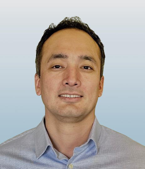
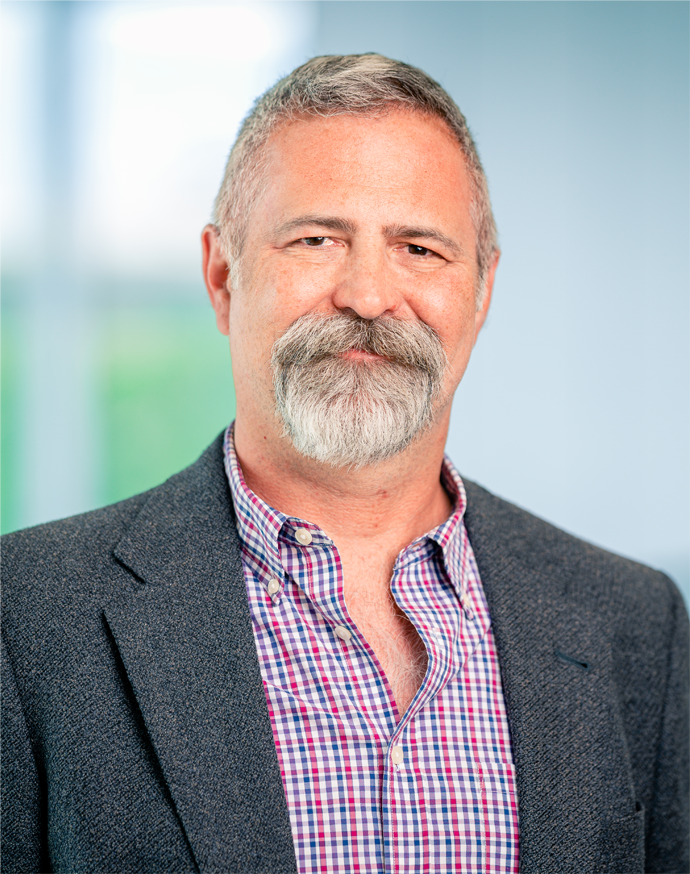
Aaron D Saxton is a Senior Research Scientist at the National Center for Supercomputing Applications (NCSA) within the University of Illinois. His work focuses on the intersection of geosciences, artificial intelligence, and high-performance computing. Key research areas: Feature extraction from geologic maps, deep learning applications in geosciences, and cyberinfrastructure optimization Affiliation: University of Illinois (NCSA) Email: saxton@illinois.edu Recent publications highlight his expertise in: AI-driven geological mapping techniques NSF-supported cyberinfrastructure systems Multi-messenger astrophysics data analysis He actively contributes to computational research through collaborations with interdisciplinary teams across computer science and geosciences domains.
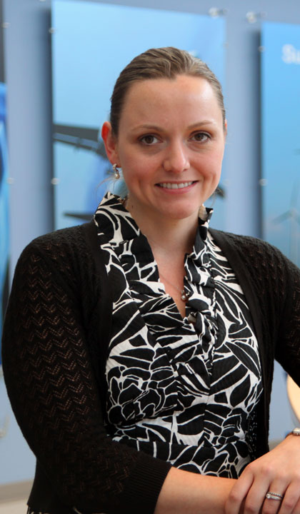
Rebecca (Becky) Vandewalle is a Researcher at the University of Illinois, affiliated with the School of Earth, Society & Environment and the Department of Geography & Geographic Information Science. She collaborates closely with Dr. Shaowen Wang on high-performance agent-based models addressing human behavior in natural hazards contexts. Her work integrates CyberGIS tools to advance computationally intensive geospatial research. Education: MSc in GIS & Archaeology, University of Edinburgh (2015) Post-Baccalaureate in Classics, University of Pennsylvania (2012-2014) BA in Greek & Roman Studies, Rhodes College (2012) Research Interests: Becky focuses on agent-based modeling, parallel computing, and natural hazards analysis. Her work emphasizes spatial decision support systems, human-environment interactions, and network analyses to model complex socio-environmental systems. She applies these methods to pandemic studies, emergency evacuation simulations, and archaeological spatial analysis. Advising & Grants: Advised by Dr. Shaowen Wang, Becky contributes to CyberGIS-Jupyter development and high-performance computing initiatives. No specific grants are highlighted in the provided texts. Labs/Teams: Active in the CyberGIS Center at UIUC, advancing geospatial software ecosystems through collaborative research projects.
John Orcutt is a Distinguished Professor of Geophysics at the Scripps Institution of Oceanography, UC San Diego, and a Distinguished Researcher at the San Diego Supercomputer Center. He holds an academic rank of Professor and is affiliated with the Institute of Geophysics and Planetary Physics. His research focuses on ocean instrumentation, seismic studies, cyberinfrastructure, and tsunami early warning systems. Education: B.S. from the U.S. Naval Academy, M.S. from Liverpool University (England), and Ph.D. from UC San Diego/Scripps Institution of Oceanography. Orcutt has pioneered advancements in ocean-bottom seismometry, real-time data telemetry, and global seismic network development. His work integrates geophysical theory with cutting-edge technology, emphasizing cyberinfrastructure for sensor networks and environmental monitoring. Research interests include the internal structure of ocean spreading centers, mantle dynamics, and the application of supercomputing to geophysical problems. He has led projects such as the Hawaiian PLUME experiment, the Ocean Observatories Initiative (OOI), and HiSeasNet, which expanded ship-to-shore data transmission capabilities. Orcutt advocates for open data sharing and citizen science initiatives to enhance oceanographic research accessibility. His publications span tsunami monitoring, seismic network design, and cyberinfrastructure innovations. Notable contributions include developing autonomous ocean observatories and advancing methods for near-real-time environmental data access. Orcutt collaborates internationally on initiatives like the Integrated Arctic Ocean Observing System and tsunami early warning systems in the Caribbean and Japan.
Sadie Bartholomew is a Computational Scientist affiliated with the Department of Meteorology at the University of Reading, part of the National Centre for Atmospheric Science (NCAS). Her research focuses on computational methodologies for geoscience, software engineering practices in research, and data modeling standards. She has contributed to projects such as the VISION satellite observation integration framework and the CF data model implementation. Bartholomew holds a position emphasizing interdisciplinary computational approaches to environmental and atmospheric challenges. Her work bridges software development with scientific discovery, including studies on research software engineering practices and workflow automation for cycling systems. She collaborates with international teams on open-source tools like the cfdm Python library and the Research Software Encyclopedia initiative. Current research emphasizes improving observational data integration and computational infrastructure for climate science. Laboratory affiliations include NCAS and the University's Meteorology Department labs. No specific grants or awards are listed in the provided texts, though her publications suggest active involvement in collaborative research networks. She advises on interdisciplinary projects but no named students are recorded here.
Hemant Ghayvat is an Associate Professor at Linnaeus University's Department of Computer Science and Media Technology, affiliated with the Faculty of Technology. He specializes in Embedded Systems, IoT, and Health Informatics, focusing on Ambient Assisted Living and AI-driven healthcare solutions. His research spans smart home technologies, wearable sensors, and predictive analytics for chronic disease management. Education: Bachelor's in Electronics and Communications (BIST, Bhopal, 2009) Master's in Microelectronics and VLSI (2011) PhD in Smart Home for Ambient Assisted Living (completed in New Zealand) Research Interests: Preventive Healthcare Monitoring Ambient Assisted Living for Elderly AI-Based Decision Making in Medicine Behavioral Pattern Analysis IoT Security and Privacy His work emphasizes fusion of sensor data and AI for real-time health interventions, such as gait rehabilitation for Parkinson's patients and anomaly detection in daily activities. Notable Projects: VCardiac: Framework for contactless heart disease detection via acoustic signals. Mitigating Health Inequalities: System thinking approach for regional healthcare improvement. Teaching: Courses in IoT, Embedded Systems, and Network Security at undergraduate and graduate levels. Labs/Teams: Active in the E-health – Improved Data to and from Patients group at Linnaeus University Centre for Data Intensive Sciences and Applications (DISA).
Dr. Lei Zou is an Assistant Professor at Texas A&M University , affiliated with the Hazard Reduction and Recovery Center . He leads the GEAR Lab (Geospatial Exploration and Resolution Research Group), focusing on disaster resilience, urban digital twins, and geospatial AI. His research integrates big data, GeoAI, and cyberGIS to address challenges in disaster management, public health, and socio-environmental sustainability. Dr. Zou has secured funding from the NSF and Texas A&M , and serves on editorial boards including the International Journal of Digital Earth and Big Earth Data . Education : Ph.D. in Environmental Sciences, Louisiana State University (2018) M.S. in Geographic Information Sciences, Chinese Academy of Sciences B.E. in Remote Sensing, Wuhan University Research Interests : GIScience, GeoAI, Social Sensing, Digital Twins, Disaster Resilience, Health GIS, and Socio-Environmental Modeling. His work emphasizes spatial thinking to address global challenges like climate change and urban sustainability. Key Contributions : Developed algorithms for disaster damage assessment using social media and satellite data (e.g., VictimFinder ). Advanced frameworks for modeling community resilience in coastal regions and pandemic response. Recipient of the 2022 Global Young Scientist Award and multiple NSF-funded projects. Lab & Team : The GEAR Lab recruits students in GIScience, GeoAI, and resilience computation. Dr. Zou mentors 5 PhD and 1 master’s students , offering training in cutting-edge technologies and international conference participation.
Kincho Law is Professor of Civil and Environmental Engineering at Stanford University. His research focuses on computational and information science applications in engineering, including AI, structural dynamics, cloud computing, and smart infrastructure systems. His work bridges computational mechanics with emerging technologies for engineering solutions. Education includes: PhD in Civil Engineering from Carnegie Mellon University (1981) MS in Civil Engineering from Carnegie Mellon University (1979) B.Sc in Civil Engineering from University of Hawaii (1976) BA in Mathematics from University of Hawaii (1976) Research interests center on developing computational frameworks for engineering challenges, particularly in infrastructure monitoring, manufacturing automation, and urban systems. His recent publications show strong emphasis on machine learning applications for additive manufacturing quality control, urban crowd modeling, and infrastructure assessment. Article trends reveal extensive use of deep learning for computer vision tasks (defect detection, building segmentation) and graph-based analysis for urban systems. Research consistently addresses real-world implementation challenges in industrial and civil infrastructure contexts.
Manil Maskey is a Senior Research Scientist and Project Manager at NASA and serves as an Adjunct Faculty member in the Atmospheric Science Department at the University of Alabama in Huntsville (UAH). He plays a key leadership role in NASA's Science Mission Directorate, focusing on artificial intelligence, data systems, and Earth science innovation. He has contributed significantly to the development of NASA's AI strategy and leads the Visualization, Exploration, and Data Analysis (VEDA) project. B.S. in Computer Science and Mathematics M.S. in Computer Science Ph.D. in Computer Science His research interests lie at the intersection of artificial intelligence and Earth science, with a focus on machine learning, data-centric AI, geospatial intelligence, and high-dimensional data visualization. He is particularly interested in applying deep learning to environmental challenges such as tropical cyclone intensity estimation, hail detection, and smoke monitoring using satellite and radar data. His work emphasizes robust data systems, ethical AI, and scalable computing frameworks for scientific discovery. The recent publications reflect a strong trend toward foundation models, data-centric machine learning, and AI-driven Earth system science. Topics include Clifford neural operators, metadata for ML-ready datasets, and traceability to prevent data swamps, indicating a shift from purely model-centric to holistic data-systems thinking in AI for science. Senior Member, IEEE Chair, IEEE GRSS Earth Science Informatics Technical Committee Co-chair, NITRD Big Data Interagency Working Group Steering Committee Member, National AI Research Resource (NAIRR) Manil Maskey has mentored numerous students and served on thesis committees across computer science and atmospheric science. He has led competitive NASA programs including ACCESS and CSDA, and played a central role in establishing data management frameworks for commercial smallsat data. His work bridges research, policy, and infrastructure development in support of AI for Earth science. He is actively involved in several scientific teams and initiatives, including the IMPACT project at NASA, where he helped establish a data science team, and leads the GRSS Working Group on High-Performance and Disruptive Computing in Remote Sensing (HDCRS). He also contributes to international collaborations through the NASA-ESA-JAXA Earth Observation Dashboard and promotes open science through workshops and tutorials on cloud computing and machine learning.
Thomas Harmon is a Professor in the School of Engineering at the University of California, Merced, affiliated with the Civil & Environmental Engineering department. His research focuses on contaminant transport in aquatic systems, soil and groundwater remediation, and environmental sensor development. Ph.D., 1992 — Stanford University M.S., 1986 — Stanford University B.S., 1985 — The Johns Hopkins University Harmon's work addresses water quality, land repurposing, and climate change impacts, particularly in California's Central Valley and tropical rainforests. He develops geospatial tools for groundwater sustainability and uses robotic sensors to monitor soil carbon fluxes. His recent publications emphasize multi-benefit frameworks balancing agricultural needs with biodiversity conservation and climate adaptation. Key trends in his research include environmental sensing technologies, CO2 flux dynamics in agricultural soils, and stakeholder-driven water management strategies. He also explores wildfire effects on watersheds and biochar applications for contaminant removal. Harmon leads projects like the Soil Ecosystem Observatory, integrating automated data systems and sensor networks to study soil-plant-atmosphere interactions. His collaborations span North and South America, focusing on transnational water security and socio-environmental gradients.
Shaowen Wang is a Professor of Geography and Geographic Information Science and the Siebel School of Computing and Data Science at the University of Illinois Urbana-Champaign (UIUC). He serves as Associate Dean for Life and Physical Sciences in the College of Liberal Arts and Sciences and is a Senior Faculty Fellow in the Office of the Vice Chancellor for Research and Innovation. His research focuses on advancing cyberGIS and geospatial data science, with applications in environmental modeling, public health, and sustainability. Wang leads the NSF-funded Institute for Geospatial Understanding through an Integrative Discovery Environment (I-GUIDE) and directs UIUC’s CyberGIS Center for Advanced Digital and Spatial Studies. Education: PhD in Geography, University of Iowa (2004) Master of Computer Science, University of Iowa (2002) MS in Geography, Peking University (1998) BS in Computer Engineering, Tianjin University (1995) Research Interests: Wang’s work integrates cyberGIS, spatial AI, and high-performance computing to address complex geospatial challenges. His research spans environmental modeling (e.g., hydrology, climate), public health (e.g., spatial accessibility to healthcare), and scalable geocomputation. His CyberGIS Center develops tools like CyberGIS-Compute and CyberGIS-Jupyter to democratize geospatial analytics. Recent Publications Trends: His recent work emphasizes AI-driven geospatial analysis (e.g., deep learning for hydrographic mapping), scalable solutions for environmental modeling, and cyberinfrastructure for reproducible research. Key contributions include frameworks for integrating HydroShare with computational tools and visual analytics for disaster resilience. Awards and Honors: Elected Fellow, AAAS (2021), AAG (2022), UCGIS (2024) NSF CAREER Award (2009) AAG Distinguished Scholarship Honors (2022) UIUC Romano & Centennial Professorial Scholars Advising and Grants: As a PI/co-PI, Wang has secured over $60M in research funding from NSF, NIH, USDA, and others. He has advised over 20 PhD students and 20 postdoctoral fellows, many now leading roles in academia and industry. His grants support projects like the I-GUIDE institute and spatial AI for extreme events. Labs and Initiatives: Directs the CyberGIS Center and co-leads the I-GUIDE initiative. Collaborates with the Taylor Geospatial Institute on projects like AI-driven hydrographic mapping and urban heat island analysis using sensor networks.
Ola Ahlqvist is a Professor in the Department of Geography at The Ohio State University, serving as the Director for the Service Learning Initiative. He earned his Ph.D. in Geography from Stockholm University (2001) and a B.S. in Biology and Earth Science from the same institution (1990). His research explores three key areas: semantic uncertainty and formal ontology in land cover change analysis; the intersection of online maps, social media, and games for spatial collaboration and decision-making; and service-learning in cartography with Columbus community partners. His publications demonstrate consistent focus on geographic semantics, geogames, and spatial simulation. Recent work emphasizes semantic formalization for land classification and the development of frameworks for geogames as spatial learning and decision-making tools.
Brian Dunn is an Associate Professor in Data Analytics and Information Systems at Utah State University. He holds a Ph.D. in Information Systems Management from the University of Pittsburgh (2014), an MBA from UC Irvine (2002), and a B.A. in German from Brigham Young University (1996). His research covers e-commerce, online marketing, and data analytics.
Paul Gessler is Professor of Remote Sensing and Geospatial Ecology at the University of Idaho's College of Natural Resources, Department of Forest, Rangeland and Fire Sciences. He holds a Ph.D. in Resource Management and Environmental Science from Australian National University, an M.S. in Environmental Engineering from University of Wisconsin-Madison, and a B.S. in Natural Resources from University of Wisconsin-Madison. His research integrates remote sensing, geospatial analysis, and environmental modeling to study forest ecosystems, soil-landscape relationships, and cyberinfrastructure development. Current projects focus on agricultural insurance modeling under climate variability, streamflow permanence prediction, Lassa virus ecology, and open science frameworks for soil carbon modeling. Gessler's technical expertise encompasses terrain analysis, geographic information systems (GIS), digital image processing, airborne mapping, and global positioning systems. His work demonstrates strong commitment to open science principles and cyberinfrastructure development for earth science data management.
Dr. Amanda Cox is an Associate Professor of Civil Engineering at Saint Louis University's School of Science and Engineering. She directs the Water Access, Technology, Environment, and Resources (WATER) Institute, focusing on surface-water hydraulics and sediment transport systems. Cox's research examines river morphology, hydraulic structures, and sustainable water resource management. Her current projects include developing next-generation river modeling tools and machine learning applications for sedimentation analysis. Her publications demonstrate consistent focus on improving hydrological modeling and sediment transport prediction through advanced computational methods.
Gretchen Stahlman is an Assistant Professor at the School of Information, Florida State University (FSU), within the College of Communication & Information. Previously, she held the same rank at Rutgers University’s Library & Information Science program. She earned her Ph.D. from the University of Arizona School of Information in 2020. Her research focuses on scholarly communication, scientific data lifecycles, and sociotechnical systems supporting research infrastructures. Key interests include open science initiatives, long-term data management, and ethical data science practices. With over a decade of experience in librarianship and information management, she contributed to the Atacama Large Millimeter/submillimeter Array (ALMA) project as a documentation specialist. Her work bridges theory and practice, addressing challenges like legacy data curation, accessibility of scientific data, and fostering collaboration through networks like ASTRO ACCEL. Current projects explore public health data dashboards, UAP studies, and interdisciplinary convergence in NEREID. She advocates for equitable access to scientific information, particularly in global contexts. Publications emphasize data visualization, funding analysis, and dark data recovery. While no formal awards are listed, her active research agenda reflects significant contributions to information science and astronomy informatics. Advising and grant activities are not detailed in the provided texts, but her professional experience underscores strong ties to academic libraries and large-scale research infrastructure projects.