Aaron Maxwellمشاهده پروفایل
دانشیار
- Geospatial Science
- Remote Sensing
- Machine Learning
- +۶ مورد دیگر
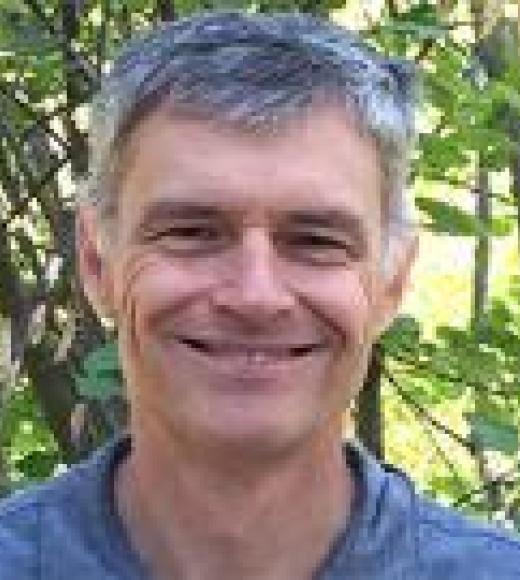
Aaron Maxwell is an Associate Professor in the Department of Geology and Geography at West Virginia University (WVU). He serves as the principal investigator of West Virginia View, a member of AmericaView, and director of the WV GIS Technical Center. His research focuses on spatial predictive modeling, geohazard mapping, machine/deep learning applications in remote sensing, and thematic map accuracy assessment. He holds degrees from Alderson Broaddus University (B.S. in Biology, Chemistry, Environmental Science) and WVU (M.S. and Ph.D. in Geology), with a GIS Professional (GISP) certification. Education: Bachelor of Science in Biology, Chemistry, and Environmental Science – Alderson Broaddus University Master of Science in Geology – West Virginia University Doctor of Philosophy in Geology – West Virginia University Research Interests: Dr. Maxwell’s work emphasizes computational methods to extract insights from geospatial data. Key areas include: Deep learning for geomorphic feature extraction (e.g., LIDAR-based semantic segmentation) Machine learning applications in forest fuel load estimation and slope failure modeling Best practices for assessing deep learning outputs in remote sensing Synthetic data generation for predictive modeling Community flood resiliency and participatory GIS Publications: His recent work highlights advancements in geospatial deep learning (e.g., the geodl R package), accuracy assessment metrics for imbalanced datasets, and modeling post-mining landscape evolution. Articles often blend theoretical frameworks with applied case studies across environmental and geotechnical domains. Grants & Funding: Supported by NSF (CAREER Award) and AmericaView, his work trains students and develops open-source geospatial tools. Current projects include synthetic forest stand modeling and flood resiliency initiatives. Labs & Teams: Leads WV View, fostering remote sensing education and data sharing. Collaborates on geospatial workforce development and open-source software initiatives (e.g., GIScience courses, ArcGIS Pro labs).