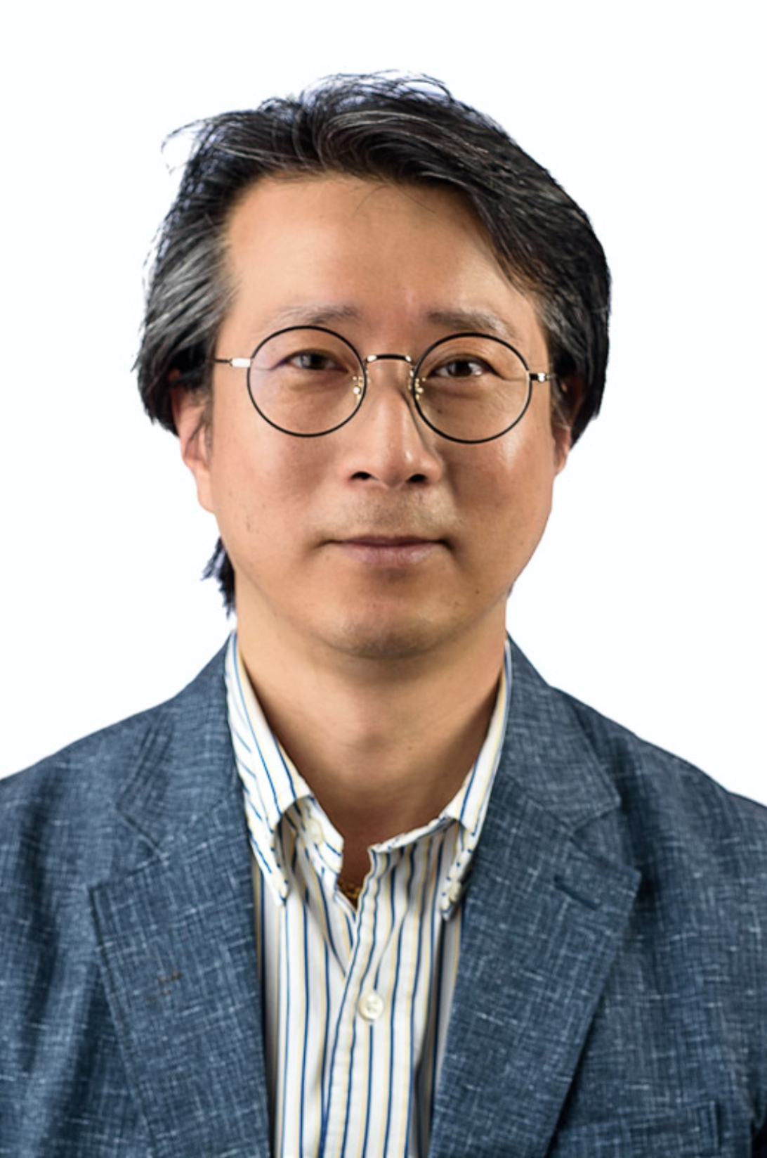
Prof. Gheorghe M. Badea serves as University Professor and Dean of the Faculty of Geodesy at the Technical University of Civil Engineering Bucharest (UTCB), where he has accumulated over 32 years of academic experience. He concurrently holds teaching positions at the "Ion Mincu" University of Architecture and Urban Planning (Faculty of Urban Planning since 1998), University of Bucharest (Faculty of Geography since 2012), and "Ferdinand I" Military Technical Academy (Faculty of Integrated Armament Systems since 2022). His institutional leadership includes membership in the UTCB Doctoral School Council, Faculty Council, Administrative Council, and Senate. Educational milestones include a 1989 Geodesy degree from Bucharest Institute of Construction, a 2003 PhD with thesis "Contributions on the use of cadastral data in the territorial information system", and a 2018 Habilitation in Geodetic Engineering with thesis "Cadastre, geospatial data infrastructures, standards and metadata". His research spans Cadastre, Geospatial Data Infrastructures, and Geodetic Engineering with emphasis on Topography, GIS, Land Administration, Remote Sensing, and 3D Modeling (BIM/GIS/CAD). He has authored 8 books in central publishing houses and 6 UTCB-published academic guides, alongside 100+ scientific articles (30+ ISI-listed), focusing on geospatial data integration for sustainable development, standardization frameworks (ISO 19115/19152), and advanced 3D applications. Prof. Badea has directed or participated in over 50 research contracts while serving as ARACIS/UEFISCDI evaluator and quality assurance trainer. He leads the Center for Geodetic Engineering Measurements and Spatial Data Infrastructures, coordinating doctoral theses in Geodetic Engineering and collaborating with the National Agency for Cadastre (ANCPI) as category D authorized expert. As president of UGR Commission 7 "Cadastre and Territorial Administration" and member of SRFT, he develops technical norms for cadastral systems and advances 2024-2025 research themes: multisource geospatial data modeling for SDGs, geospatial standards integration, and cadastral data for 3D representations.