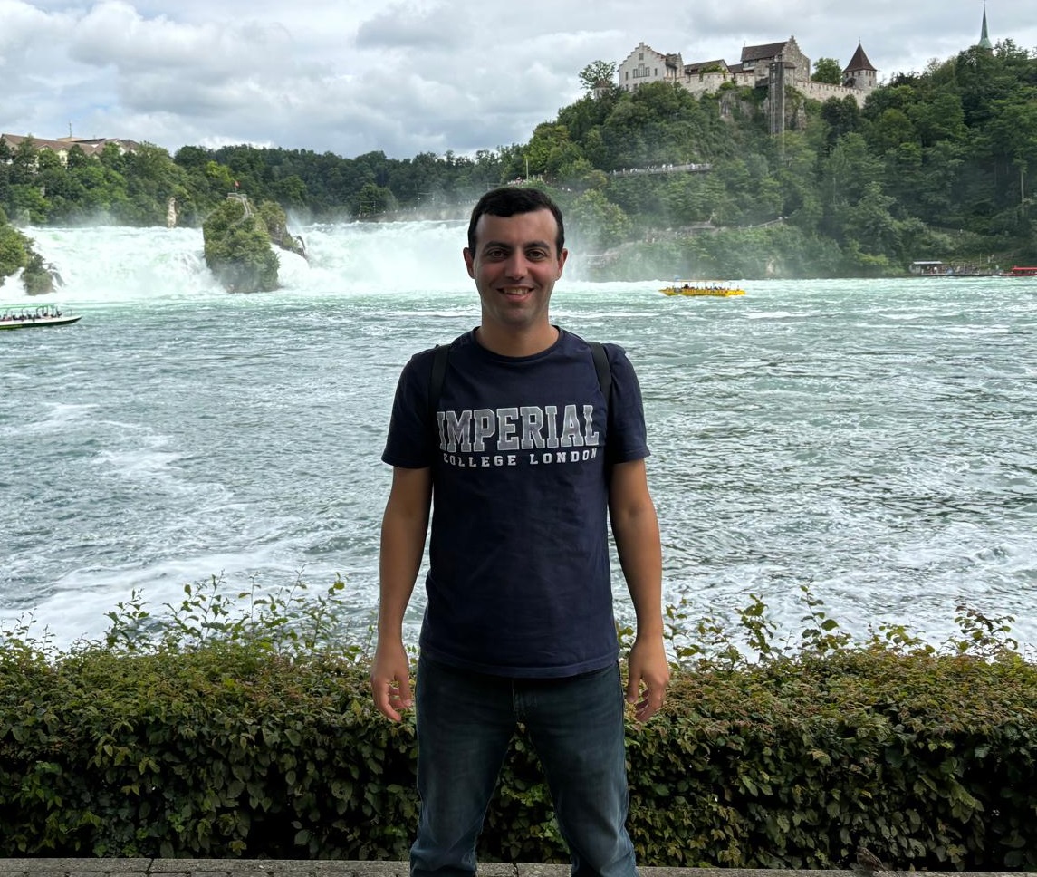
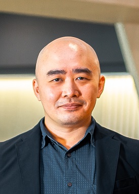
Dongsheng Chen is a researcher at the Technical University of Munich (TUM) within the Chair of Cartography and Visual Analytics under Prof. Dr.-Ing. Liqiu Meng. His work focuses on urban modeling, urban morphology, and explainable AI (XAI) for sustainable urban systems, applying GIS, remote sensing, and deep learning techniques. Research Interests: Urban mechanism, geo-knowledge graphs, sustainable development goals (SDGs), and integration of AI with urban studies. Key Projects: Modeling urban morphology for SDG 11 compliance, developing frameworks for carbon emission forecasting (CarbonVCA), and urban slum mapping via data fusion. Publications: Recent works include explainable graph neural networks for urban function analysis, vector landscape indices (VecLI), and causality-driven approaches to AI ethics and spatial modeling. Supervision: Advised Master's theses on slum mapping and participatory urban planning. Contact: Room 0507.01.767, dongsheng.chen@tum.de
Judith Ricketts is a Senior Lecturer in Digital Media at the University of Brighton, affiliated with the School of Art and Media and the Centre for Arts and Wellbeing. She serves as Course Leader for Animation BA (Hons), Module Leader for Games Art BA (Hons) and Design for Digital Media BA (Hons), and Visiting Lecturer for Graphic Design MA. Her research focuses on extended reality (XR), immersive environments, and the intersection of spatial memory with built environments. Methodologies include computer vision, human-computer interaction, and experimental media combining photography, augmented reality, and frontend programming. Education includes a BA in Photography (First Class, 2018), MA in Digital Media Arts (2009), and a CYF Coding Bootcamp (2023). She also holds a Master's in Facility and Environment Management from University College London (1989). Research interests span decolonizing archives, data-driven storytelling, and reimagining colonial histories through digital geographies. Collaborations include projects with the Royal Pavilion & Museums, Mosaic Brighton, and the National Citizens Service. She is a Women in Games Ambassador and Board member of the Centre for Digital Media Cultures. Recent outputs include two 2021 works: an exhibition exploring immersive environments and a conference paper on avatar-based narratives. Awards include Fellowship from the Royal Society of Arts. Supervision emphasizes experimental work in XR, archival reanimation, and physical computing. She leads 39 activities including peer reviews for grants like 'Creative practices for resilient cities' and 'Co-Creating Interactive Geo-Visual Stories.'
Martin Knoll is a Professor of European Regional History and currently serves as Dean of the Faculty of Social Sciences at the University of Salzburg. He is a prominent scholar in environmental history, regional studies, and historical geography, with a particular focus on Alpine regions, tourism history, and early modern European history. Knoll holds significant leadership positions including Chairman of the Environmental History Cluster Austria/Environmental History Network Austria (EHCA) since September 2017 and previously served as Regional Representative for the German Speaking Countries and Board Member of the European Society for Environmental History (ESEH) from July 2015 to August 2023. His research interests span environmental history, European regional history, urban history, tourism history, social ecology, cultural history, Alpine history, historical geography, and early modern history. Knoll's work consistently explores the intersection of natural environments and human societies, examining how landscapes shape and are shaped by cultural, economic, and political forces over time, particularly in Alpine regions. Knoll has published extensively with over 120 publications to his name. His recent work shows a strong focus on tourism history, regional identity formation, environmental history, and the historical development of Alpine regions. He has increasingly engaged with contemporary issues such as sustainability, crisis management in tourism, and the application of digital humanities methods to historical research. Druckkostenzuschuss der Oestreich-Stiftung for his habilitation thesis Kulturpreis der E.ON Ostbayern for his dissertation Promotionsstipendium des Freistaats Bayern Schwenkscher Umweltförderpreis der Stadt Ebersberg Carson Fellowship at the Rachel Carson Center for Environment and Society Knoll is actively involved in numerous research projects including CIVIS2 (A European Civic University), Alpine geo- and biodiversity during environmental changes (AlpsChange), Forschung SMARTT, and ENLIVEN (improved learning and teaching in international virtual environments). He has organized and participated in over 196 academic activities including 92 talks and 31 guest lectures. He is engaged in third mission activities through Scientists4Future Salzburg, adult education via the 'History and Culture' working group of the Salzburg Educational Association, and coordination of the steering group between the University of Salzburg and the Salzburg Museum Association for developing joint projects.
Peter Siska is a Professor in the Department of Biological Sciences at Louisiana State University Shreveport (LSUS), College of Arts and Sciences. He has been affiliated with LSUS since 2018 and works in the Science Building, Room 101. His research spans several key areas in environmental science and geospatial analysis. Palynology (pollen grain analysis for ecosystem health and climate change indicators) Geographic Information Systems (GIS) for natural resource management Geostatistical modeling of karst hazards Multifactorial statistical analysis of ecosystem dynamics His recent publications focus on spatial patterns of pollen distribution, karst hazard prediction, and geospatial modeling techniques. He teaches foundational courses in biology and advanced GIS/remote sensing courses.
Dr. Irma Kveladze is a Tenure Track Assistant Professor at Aalborg University's Technical Faculty of IT and Design, specifically within the Department of Sustainability and Planning. Her research focuses on geoinformatics, earth observation, and urban mobility solutions. Current Affiliation: Aalborg University (Copenhagen campus), Technical Faculty of IT and Design Research Themes: Urban mobility, migration patterns, spatial data visualization, mixed reality geospatial applications Her work involves advanced spatial analysis and innovative cartographic representations, recently developing frameworks for micro-mobility integration in urban contexts through the PROMISE project. She contributes to mixed reality usability evaluation standards and analyzes digital communication networks across European countries. Key projects include: PROMISE (2025-2028): Principal Investigator for car dependency reduction through smart policy AquaINFRA (2024): Project participant in data infrastructure development She serves as peer reviewer for journals like Sustainability and ISPRS International Journal of Geo-Information , and participates in organizations such as AGILE and EuroSDR.
Baran Kaynak serves as an Assistant Professor in the Department of Information Systems Engineering at Sakarya University's Faculty of Computer and Information Sciences, where he has held academic positions since 2013 (promoted from Lecturer to Assistant Professor in 2022). His institutional affiliation spans teaching, research, and project leadership within Turkey's higher education framework. His educational trajectory culminates in a Doctorate in Industrial Engineering from Sakarya University (2012-2021) with thesis work on Blockchain-Based Cloud Manufacturing Model , preceded by a Master's degree (2011-2013) focusing on wireless sensor networks in manufacturing logistics and a Bachelor's in Industrial Engineering (2007-2011) from the same institution. Dr. Kaynak's research integrates cloud computing, blockchain, and AI to solve industrial and environmental challenges. Core contributions include hybrid decision support systems for cloud manufacturing resource allocation using genetic algorithms and AHP, GPU-accelerated solar potential analysis tools, and custom web components for earth science data (e.g., Geo-WC for NOAA/USGS integration). His work bridges theoretical algorithms with practical implementations in manufacturing, renewable energy, and hydrological systems. Recent publications (2023-2025) reveal expanding applications: digital twin frameworks for urban flood analysis, IoT platforms for hydrological education (HydroSignal), and mmWave sensor-based anomaly detection in assembly lines. These works consistently demonstrate cross-disciplinary innovation, particularly in adapting blockchain for secure resource sharing and developing real-time analytics for environmental monitoring. He leads the UZEP project (2020), a Sakarya University-funded cloud-based distance education platform developed during the pandemic. While no formal student advisees are listed, his research includes student consultancy services using AI for course grade prediction and adaptive neuro-fuzzy systems for academic success modeling. Dr. Kaynak collaborates with Sakarya University's Distance Education Research and Application Center and contributes to open-source tools for earth science organizations. His current work focuses on city-scale digital twins for climate resilience and blockchain-enhanced manufacturing ecosystems, positioning him at the intersection of industrial informatics and sustainable technology development.
Recep Firat Cekinel is a Turkish NLP researcher who recently obtained his Ph.D. in Computer Engineering from Middle East Technical University (METU). He spent 13 months as a visiting predoctoral researcher at the University of Tübingen and is currently a researcher on the EU-funded EXA4MIND project, where he develops NLP pipelines that convert natural language into database queries using large language models. His research focuses on responsible, scalable AI systems and bridges foundational NLP work with real-world applications. Education: Ph.D. in Computer Engineering, Middle East Technical University (METU), Türkiye Visiting Predoctoral Researcher, University of Tübingen, Germany (13 months) Research Interests: Dr. Cekinel’s work spans natural language processing , multimodal fact-checking , explainable AI , and large language models . He is particularly interested in building responsible and scalable AI systems that integrate foundational research with practical deployments, such as natural-language interfaces for high-performance computing environments. Recent Publication Trends: His 2025 publications reveal a concentrated effort on multilingual and multimodal fact-checking , satire-style debiasing , and NL-to-database-query generation . Earlier work explores graph-based event extraction , Turkish irony detection , and cultural-heritage text mining , demonstrating a trajectory from low-resource Turkish NLP toward globally applicable, responsible-AI systems. Contact & Code: Email: rfcekinel@ceng.metu.edu.tr Office: METU Computer Eng. Dept. A-206, 06800 Ankara, Turkey Phone: +90-(312)-210-5593 GitHub: firatcekinel Google Scholar: profile available
Rosa Maria Aguilar Bolivar is an Assistant Professor at the Department of Geo-Information Processing, Faculty of Geo-Information Science and Earth Observation (ITC), University of Twente. Her work bridges geospatial technology, machine learning, and participatory planning, with a focus on urban sustainability and food security challenges.
Mahdi Khodadadzadeh is an Assistant Professor in the Department of Geo-information Processing, specializing in machine learning, data mining, and geospatial analysis. His work bridges traditional and deep learning methods with applications in mineral exploration, environmental modeling, and circular economy initiatives. Research outputs include novel cross-validation techniques for geospatial machine learning (Spatial+, dissimilarity-adaptive methods), hyperspectral mineral mapping for ore characterization, and hybrid models combining artificial neural networks with optimization algorithms. He actively contributes to open-access datasets and methodologies, particularly in drill-core analysis and multi-source data fusion. Collaborations with researchers like R. Zurita-Milla and R. Gloaguen are evident through co-authored publications and shared datasets. His work impacts domains such as mineral exploration, geospatial modeling, and sustainable resource management, with a focus on robust statistical evaluation frameworks and spectral-spatial analysis.
Dr. Choo Chung Siung is a Senior Lecturer at Swinburne University of Technology Sarawak, Faculty of Engineering, Computing and Science, where he serves as Director of the Centre for Innovative Society. With 12 years of combined academic and industry experience, he teaches soil mechanics and geotechnical engineering to future civil engineers. Dr. Choo obtained his Bachelor of Engineering in Civil Engineering (1st Class Honours) in 2010 and completed his PhD at Swinburne University of Technology. His research focuses on tunnelling and trenchless technologies, numerical modeling of soil-structure interaction, machine learning applications in geotechnical engineering, upcycling industrial wastes for construction, and geoeducation innovations. Analyzing his recent publications reveals a strong emphasis on pipe jacking forces in weathered geological formations, with increasing integration of machine learning techniques in geotechnical analysis. His work bridges traditional geotechnical engineering with modern computational approaches, particularly in the context of Southeast Asian geological conditions. Vice-Chancellor's 2019 Industry Engagement Award (Highly Commended), Swinburne University of Technology International Convention Scholarship Award (ICSA) 2019/2020, Sarawak Convention Bureau Best Civil Engineering Graduate 2010, Cahya Mata Sarawak IEM Gold Medal Award 2009, Institution of Engineers Malaysia Dr. Choo actively supervises research students and has secured multiple research grants from both industrial sources and the Ministry of Higher Education's Fundamental Research Grant Scheme. His professional engagement extends to numerous industry organizations, where he serves as a committee member and technical expert. As Director of the Centre for Innovative Society, he leads interdisciplinary research initiatives that address regional engineering challenges.
Klaus Böhm serves as a Professor at Mainz University of Applied Sciences within the School of Engineering, affiliated with the i3mainz institute (Institute for Spatial Information and Surveying Technology). His research bridges geospatial technologies with artificial intelligence, focusing on practical applications in urban planning, healthcare, and educational environments through projects like BAM (Big Data Analytics) and TOPML (Machine Learning). His primary research domains include geospatial explainable AI (GeoXAI), mixed reality decision support systems, and health informatics applications. He pioneers methods for visualizing uncertainty in AI models, developing geoparsing techniques using LLMs, and creating spatial navigation frameworks for VR environments. His work consistently addresses real-world challenges in elderly mobility, smart city infrastructure, and medical education through spatial analytics. Analysis of his 2022-2025 publications reveals three dominant trends: (1) Integration of XAI with geospatial data for transparent decision-making in urban planning, (2) Development of mixed reality tools for STEM education and dermatology training, and (3) Spatio-temporal correlation analysis for smart city applications like parking optimization and public transport accessibility. His methodology emphasizes interactive visualization of complex spatial relationships and uncertainty quantification. Dr. Böhm leads multiple funded research initiatives including AIMR (AI-based decision support in mixed reality), RAFVINIERT (spatial intelligence for senior care), and FlexGeo (geo-service integration). These projects demonstrate sustained grant acquisition capability across EU and national funding programs, typically involving interdisciplinary teams from computer science, urban planning, and healthcare sectors. As a core member of the i3mainz research institute, he contributes to Germany's geospatial technology ecosystem through collaborative projects with municipal authorities and healthcare providers. The institute's work focuses on translating academic research into operational tools for spatial data infrastructure, particularly in environmental monitoring and public service optimization contexts.