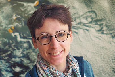
Patrick Henkel is a Professor at the Technical University of Munich (TUM) affiliated with the TUM School of Engineering and Design and the Chair of Communication and Navigation. He holds a professorship in Satellite Geodesy under Prof. Hugentobler. His research focuses on advanced positioning technologies, including Global Navigation Satellite Systems (GNSS), autonomous systems, and sensor fusion. He develops algorithms for precise positioning in challenging environments such as urban areas, alpine regions, and indoor spaces. His work also extends to environmental applications, such as snow hydrology and climate monitoring using GNSS signals. Henkel’s contributions include innovations in real-time kinematic (RTK) positioning, UAV navigation, and multi-sensor integration for robotics and autonomous vehicles. His research is supported by collaborations with industry and academic partners, addressing both theoretical and applied challenges in geodesy and navigation. Henkel leads projects on GNSS signal processing, satellite-based environmental monitoring, and autonomous driving technologies. He has contributed to the Galileo HAS service and developed methodologies for snow water equivalent estimation using multi-frequency GNSS signals. His expertise spans hardware-software co-design for navigation systems and algorithm optimization for high-precision positioning in dynamic environments. He actively publishes in top-tier journals and conferences, with a focus on advancing the reliability and accuracy of navigation systems across various domains. His advising and grants include funding for projects on sensor fusion, UAV-based measurements, and satellite receiver development. He collaborates with teams at TUM’s Navigation Lab and the Professur für Satellitengeodäsie, contributing to both academic and industrial applications. His work on low-bandwidth RTK dissemination and laser-tracker verified UAV positioning highlights his commitment to bridging theoretical advancements with real-world implementation.