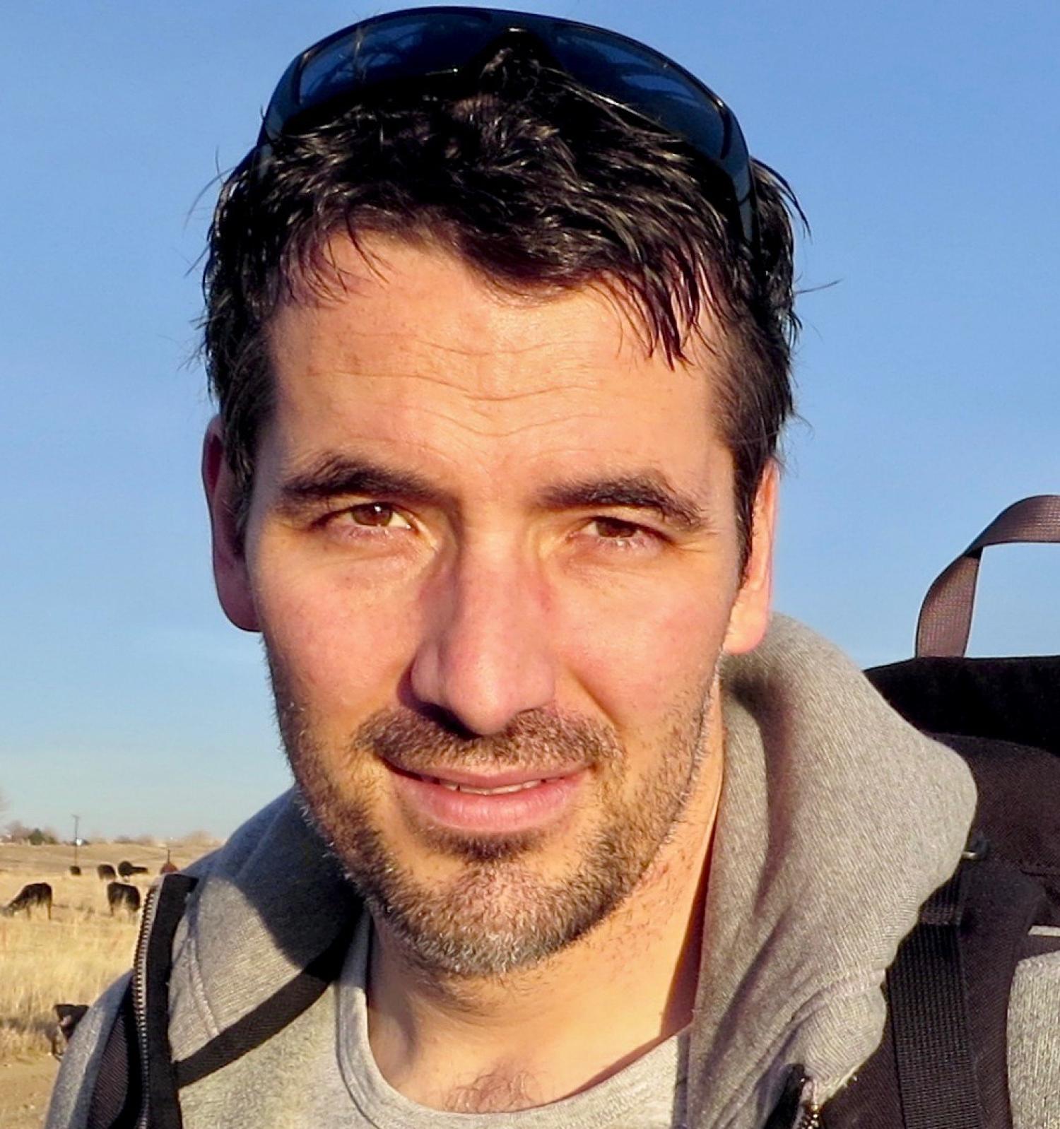
Jamal Jokar Arsanjani is a full professor in Geoinformatics and Earth Observation at Aalborg University (Denmark), leading the Geoinformatics & Earth Observation group. He holds a PhD from the University of Vienna (2011), with postdoctoral research at Heidelberg University supported by an Alexander von Humboldt fellowship (2012–2015). His academic career includes roles as a UN consultant in Vienna and senior scientist at Heidelberg's GIScience group. Research focuses on integrating geospatial data with computational models to address complex environmental challenges, including land use change, climate impacts, and natural hazards. Key methodologies include agent-based modeling, machine learning, and remote sensing. He contributes to UN Sustainable Development Goals, particularly SDGs related to climate action, sustainable cities, and responsible consumption. Recent projects include 'PROMISE' (micro-mobility integration in urban transport) and 'AI4Covid' (AI-driven pandemic monitoring). Awards include the Springer Outstanding PhD Dissertation (2012) and an Earth Observation award (2020). He serves on the European Environment Agency board and edits the journal Land . Research outputs span 105+ publications since 2008, emphasizing urban sustainability, disaster resilience, and geospatial technologies. Active in 7 ongoing projects and 45+ academic activities, he advises on policy and innovation in smart cities and climate adaptation.
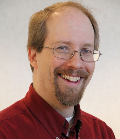
Stefan Leyk is a Professor of Geography at the University of Colorado Boulder within the Department of Geography in the College of Arts and Sciences. His research focuses on GIScience, spatial uncertainty modeling, and historical landscape analysis, with significant contributions to cartographic pattern recognition from historical maps and spatial dynamic modeling in public health. He holds a Ph.D. from the University of Zurich and the Federal Research Institute for Forest, Snow and Landscape (2005). His primary research interests include uncertainty in GIScience and spatial uncertainty modeling, land cover change modeling using historical spatial information, cartographic pattern recognition from historical maps, and spatial dynamic modeling approaches in public health. His work bridges historical geography with advanced computational methods, particularly in extracting settlement patterns from historical map archives and developing spatiotemporal datasets spanning centuries. Leyk's recent publications demonstrate strong trends in historical settlement analysis, with major projects like CHRONEX-US and HISDAC-US creating century-long datasets of urban infrastructure and settlement evolution. His work increasingly integrates machine learning with historical map processing, focusing on uncertainty quantification, built-up land validation, and environmental justice applications related to flood risk and coastal hazards. Key thematic areas include long-term urban growth patterns, rural poverty dynamics, and wildfire risk assessment at the wildland-urban interface. Leyk has received significant research funding through collaborative grants including 'HNDS-I: Building Long-term, National-scale Spatiotemporal Data Collections from Historical Map Archives' (2025) and 'HNDS-I: Data Infrastructure for Research on Historical Settlement and Population Growth in the United States' (2021). He actively mentors graduate students including Alek Berg, Caitlin McShane, and Yuying Ren, and teaches advanced GIS courses such as GEOG 4303/5303 GIS: Spatial Programming and GEOG 4103/5303 GIS: Spatial Analytics. His laboratory work centers on geospatial modeling of historical settlement and landscape analysis, with a focus on developing automated methods for processing historical map archives and creating linked spatiotemporal data. Current projects involve machine learning applications for feature extraction from historical maps, uncertainty prediction in built-up land layers, and the development of fine-grained datasets measuring 200 years of land development in the United States.
Dr. Ashton M. Shortridge is a Professor and Chair of the Department of Geography, Environment, and Spatial Sciences at Michigan State University. Originally from Michigan but raised in Indiana, Dr. Shortridge has dedicated his academic career to geographic information systems (GIS) and spatial analysis since joining MSU in January 2001. Born in Michigan, raised in Indiana (a "Hoosier") Chair of the Department of Geography at MSU Joined MSU after completing graduate studies at the University of California, Santa Barbara His research focuses on GIScience, spatial data uncertainty, and error propagation in GIS, alongside applications in health geography and digital geomorphology. He has also developed GIScience degree programs and taught advanced courses in GIS and spatial analysis. Dr. Shortridge emphasizes family time with his wife and three daughters, and maintains a basketball goal reflecting his Indiana roots.
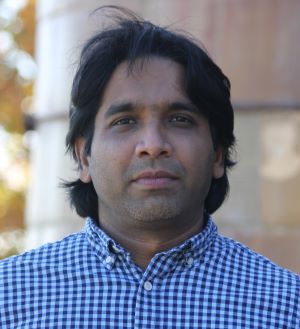
Dr. Chandi Witharana is an Assistant Professor in the Department of Natural Resources and the Environment at the University of Connecticut's College of Agriculture, Health, and Natural Resources. Previously, they served as Assistant Professor in Residence (2020-2023), Assistant Research Professor (2018-2020), and Visiting Assistant Professor (2016-2018) at UConn. Their academic journey includes a Postdoctoral Research Fellowship at SUNY Stony Brook (2014-2016) and graduate work at UConn where they earned their PhD in Remote Sensing in 2014. Dr. Witharana teaches courses in high-resolution remote sensing, geospatial analysis, and introductory geomatics. Dr. Witharana's educational background includes: PhD in Remote Sensing, University of Connecticut (2014) MS in GIScience, University of Connecticut (2009) BS in Geology, University of Peradeniya, Sri Lanka (2005) Dr. Witharana's research focuses on methodological developments for analyzing large volumes of multi-modal remote sensing data for environmental, industrial, and agricultural applications, with special emphasis on Arctic Permafrost remote sensing. They harness sub-meter resolution satellite imagery, AI, and high-performance computing resources to map permafrost landforms, monitor thaw disturbances, and assess risks to human-built infrastructure in the Arctic. Their work extends beyond research to include innovative applications of remote sensing in K-12 STEM education through imagery-enabled lesson plans. Dr. Witharana aims to use cutting-edge geospatial technologies as transformative learning instruments to help students understand complex human-environment interactions. The recent publications of Dr. Witharana demonstrate a strong focus on applying advanced AI and remote sensing techniques to Arctic permafrost monitoring and infrastructure risk assessment. Their work increasingly incorporates vision transformers and deep learning models for more accurate detection of permafrost features and unhealthy tree crowns. There's a clear trend toward developing scalable geospatial datasets with standardized approaches, particularly for retrogressive thaw slumps. Many publications address practical applications including power outage risk modeling, forest management for storm resistance, and infrastructure monitoring in changing Arctic landscapes. The research shows growing interdisciplinary collaboration across environmental science, computer science, and engineering domains. Dr. Witharana has secured significant research funding as PI or Co-PI on numerous grants totaling over $14 million, including: NSF's Permafrost Discovery Gateway project ($3,000,000) Google-funded research on tracking Arctic permafrost thaw ($5,000,000) NSF's role of capillaries in the Arctic hydrologic system ($2,000,000) USDA projects on drone imaging for nutrient deficiency detection ($200,000) Eversource Energy projects on tree risk modeling ($275,000) As an educator, Dr. Witharana mentors students through research projects funded by these grants and teaches specialized courses in remote sensing and geospatial analysis. They serve as Director of the Remote Sensing & Geospatial Data Analytics Graduate Program and as a Steering Committee Member for UConn's Data Science Masters Program. Dr. Witharana is also an Editorial Advisory Board Member for the ISPRS Journal of Photogrammetry and Remote Sensing and regularly reviews proposals for NSF and other agencies. Their research group leverages high-performance computing resources including Frontera/NSF and XSEDE allocations for large-scale geospatial analysis. Dr. Witharana leads research teams focused on Arctic permafrost monitoring and geospatial AI applications, collaborating with institutions including University of Alaska-Fairbanks, Woodwell Climate Research Center, and UC Santa Barbara. Their work involves developing advanced workflows for processing satellite imagery and implementing machine learning models for environmental monitoring. The research group actively engages in developing educational applications of remote sensing technology, particularly for K-12 STEM education.
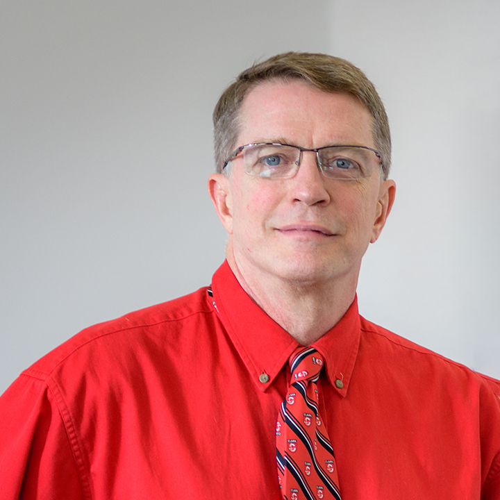
Robert Gilmore Pontius Jr. is a Professor at Clark University's Graduate School of Geography specializing in Geographic Information Science with expertise in Land Change Science , Simulation Modeling , and Statistical Analysis . He develops quantitative methods for spatial data analysis that are implemented in the TerrSet software suite. B.S. Mathematics & Economics , University of Pittsburgh (1984) M.S. Applied Statistics , Ohio State University (1989) Ph.D. Environmental Science , SUNY College of Environmental Science and Forestry (1994) His research focuses on map comparison methodology and land change modeling , particularly addressing quantity disagreement and allocation disagreement in spatial data. He pioneered the Total Operating Characteristic (TOC) framework and advanced techniques for accuracy assessment in remote sensing . Recent publications analyze land category transitions , urban risk modeling , and multi-resolution map comparison . His work has received 19,000+ citations and been funded by NSF , NASA , and Edna Bailey Sussman Fund for research in Plum Island Ecosystems and Brazilian Cerrado Biome . Michael Breheny Prize (2005) Fulbright Scholar of Brazil Clark Labs research affiliate Scientific Advisory Board member, MapBiomas He teaches GIS & Land Change Models and GIS & Map Comparison , with student-created tutorials viewed internationally. He also performs as Doctor Stardust , a professional juggler who won the International Jugglers Association's People's Choice Award .
Hong Yu is an Adjunct Professor at the University of Massachusetts Amherst, affiliated with the Center for Intelligent Information Retrieval and the Biomedical Informatics Natural Language Processing (BioNLP) Laboratory. Her research focuses on computational biology, bioinformatics, and biomedical applications of information retrieval, natural language processing, and human-computer interaction. She has developed systems like AskHERMES (a biomedical Q&A tool) and NoteAid (to aid patient comprehension of medical records). Education includes a PhD in Biomedical Informatics from Columbia University, M.Ph. in Physiology and Cellular Biophysics, and degrees in Physiology and Biomedical Engineering from institutions in China. She has led NIH-funded projects and serves on the editorial board of the Journal of Biomedical Informatics. Research awards include the NLM predoctoral training grant and recognition as one of six 'Star Trainees' for NLM's 175th anniversary. Her work has been featured in Science, Nature, and the Pulitzer-winning Milwaukee Journal Sentinel. Current interests emphasize privacy in geospatial data, ethical AI, and reimagining GIScience education. Grants: Multiple NIH-funded projects. Labs: Center for Intelligent Information Retrieval, BioNLP Lab. Service: Co-chair of biomedical NLP sections at major conferences.
Dr. John Wilson is a Professor at the University of Southern California (USC), holding academic positions across multiple schools including Dornsife College of Letters, Arts and Sciences; Viterbi School of Engineering; Keck School of Medicine; and USC School of Architecture. He is the founding Director of the Spatial Sciences Institute and leads interdisciplinary research in spatial analytics, GIScience, and environmental health. His work integrates Geographic Information Systems (GIS), remote sensing, and spatial modeling to address challenges in community health, sustainability, and urban resilience. Dr. Wilson holds a PhD in Geography from the University of Toronto and advanced degrees from the University of Canterbury. His research emphasizes geodesign, digital terrain modeling, and the application of spatial technologies to public health and environmental science. He directs the Wilson Map Lab, which develops tools for healthier communities and resilient landscapes using BIM, GPS, and remote sensing technologies. His publications span GIScience, environmental health, and spatial data science, with over 130 articles and book chapters. Notable works include Environmental Applications of Digital Terrain Modeling and an upcoming book on spatial data science. He serves as Editor-in-Chief of Transactions in GIS and leads multiple research initiatives, including the Southern California Environmental Health Sciences Center and the Center for Knowledge-Powered Interdisciplinary Data Science. Recent research focuses on mobility patterns, PM2.5 exposure during pregnancy, and spatial equity in healthcare access. He has secured grants for sustainability solutions and collaborates internationally, including with the Chinese Academy of Sciences in Beijing.
Peter Kedron is an Associate Professor in the Department of Geography at the University of California, Santa Barbara (UCSB), and a member of the Center for Spatial Data Science. Previously, he held faculty positions at Arizona State University (2018–2023), Oklahoma State University (2016–2018), and Ryerson University (2012–2016). He earned his Ph.D. in Geography from SUNY Buffalo, an MA in Economics from the University of Michigan, and BAs in Economics and Psychology from SUNY Buffalo. His research focuses on spatial analytical methods, particularly replication in geographic research, and improving evidence accumulation through statistical approaches. Key areas include computational reproducibility, spatial causal inference, and the integration of replication into GIScience education. He has published over 55 peer-reviewed articles and been consistently funded by the National Science Foundation (NSF). Dr. Kedron emphasizes bridging spatial data science with policy relevance, addressing challenges in urban inequality, environmental conservation, and healthcare accessibility. His work often employs cutting-edge techniques like digital twins, machine learning, and multi-source remote sensing to address complex spatial problems. He has supervised over 20 graduate students and post-doctoral scholars, fostering a collaborative environment. Notable contributions include frameworks for reproducible geospatial research and studies on urban-rural disparities, wildfire risk, and renewable energy sector dynamics. Labs/Teams: Active in UCSB’s Center for Spatial Data Science and collaborates with interdisciplinary teams on projects funded by NSF and industry partnerships.
Jayajit Chakraborty is a Professor and Mellichamp Chair in Racial Environmental Justice at the Bren School of Environmental Science & Management, University of California, Santa Barbara. He holds a Ph.D. in Geography and M.S. in Urban & Regional Planning from the University of Iowa. His research focuses on environmental justice, climate justice, disability justice, and disaster vulnerability, employing GIS and mixed-methods approaches. Education: Ph.D. in Geography, University of Iowa M.S. in Urban & Regional Planning, University of Iowa Research Interests: Social dimensions of climate and environmental change Racial/ethnic and disability-based environmental disparities GIScience applications in environmental justice Food security and health equity Grants & Awards: Funded by NSF, EPA, Australian Research Council, and other agencies Recipient of University of Texas System Faculty STARs Award NSF Geospatial Fellowship (2021) Top 2% cited researcher (Stanford-Elsevier ranking) Committee Roles: National Academies Committee on Geospatial Data & Community Investment EPA Science Advisory Board (former member) EPA EJScreen Mapping Tool Review Panel (chair) Health Effects Institute’s CHERI Research Committee Labs & Teams: Former director of the Socio-Environmental & Geospatial Analysis Lab at University of Texas, El Paso. Currently leads interdisciplinary projects at Bren School.
Ali Mansourian is a Professor of Geomatics at Lund University's Department of Physical Geography and Ecosystem Science, where he serves as Director of the Lund University GIS Centre and Coordinator of the GIS & RS Master Programme. He is actively involved with the United Nations Global Geospatial Information Management (UN-GGIM) Academic Network and previously served on the European Association of Geographic Information Laboratories in Europe (AGILE) council. His academic leadership spans large-scale international research initiatives and capacity-building projects funded by Erasmus+ and SIDA. Mansourian's research focuses on Geospatial Artificial Intelligence (GeoAI), Spatial Data Infrastructures (SDI), and Multi-Criteria Decision Analysis (MCDA) using multi-objective optimization techniques. His work extends to applying GIS in epidemiology and public health, disaster risk management, land-use planning, climate change, environmental management, and sustainability. His research portfolio demonstrates a strong interdisciplinary approach, bridging geospatial technology with critical societal challenges. His recent publications reveal a clear trend toward integrating advanced machine learning techniques with geospatial analysis, particularly in health applications, environmental monitoring, and climate change impacts. The research shows increasing emphasis on spatial ensemble learning, remote sensing applications, and the development of GeoAI tools that make geospatial analysis more accessible through natural language interfaces. His work spans multiple continents, with significant contributions in Africa, Europe, and Asia. Mansourian has extensive experience supervising PhD students and postdoctoral researchers, though specific student names aren't listed in the provided materials. He has coordinated numerous large-scale international projects including Geo-Academy, INTEGRAL, CADEO, and SWEMENA, demonstrating significant grant acquisition and management expertise. His leadership extends to evaluating proposals for major European research grant programs and serving as an invited evaluator for PhD theses. As Director of the Lund University GIS Centre and active member of multiple international networks, Mansourian leads a dynamic research environment focused on advancing geospatial technologies and their applications. His teams work at the intersection of traditional GIScience and emerging artificial intelligence approaches, creating innovative solutions for complex spatial problems across multiple domains including public health, environmental management, and sustainable development.
Dr. Liliana Perez is a Full Professor (Professeure titulaire) at the Université de Montréal's Faculté des arts et des sciences , specifically in the Département de géographie . Her research focuses on spatial modeling, complex systems theory, and GIScience applications in environmental and ecological contexts. She holds a PhD in Spatial and Geographic Information Science from Simon Fraser University (2011) and has conducted postdoctoral research at the University of British Columbia and University of Victoria. Education: B.Eng. in Cadastre and Geodesy (Universidad Distrital, Colombia) M.Sc. in Geography (Universidad Pedagógica y Tecnológica de Colombia, 2003) PhD in Geography (Simon Fraser University, 2011) Research Interests: Agent-Based Modeling (ABM), landscape ecology, climate change impacts, spatial dynamics of ecosystems, and biodiversity conservation. Her work integrates geospatial tools with complex systems science to address challenges like wildfire spread, forest insect outbreaks, and urban health equity. Notable projects include modeling beehive health determinants and developing decision-support tools for sustainable land management. Grants & Leadership: Principal Investigator for Combining Geospatial AI and GIScience for Sustainable Land Management (NSERC, 2024–2030) Lead on Supporting Climate Change Interventions for Urban Health Equity (CIHR, 2025–2031) She oversees the D.E.S.S. in Geomatics and Dynamic Cartography program and has supervised over 10 graduate students.
Kuuipo Walsh is the GIScience Program Director and Senior Lecturer I at Oregon State University's College of Earth, Ocean, and Atmospheric Sciences (CEOAS). She oversees the GIScience certificate program, advising over 200 students annually on course selection, career paths, and academic plans. Her research focuses on GIS, metadata standards, digital libraries, and coastal atlases. She teaches advanced undergraduate and graduate courses in GIScience via Ecampus, including GIScience I-III and Geospatial Perspectives on Intelligence. Education: B.S. in Computer Science (California Polytechnic State University, 1993) and M.S. in Marine Resource Management (Oregon State University, 2002). Her publications emphasize spatial data infrastructure, coastal data networks, and usability in geospatial tools, with notable contributions to the Oregon Spatial Data Library and Virtual Oregon projects. She has no listed scientific awards but maintains active engagement in geospatial education and professional advising. Lab/Team Affiliation: Directs the GIScience certificate program and collaborates on geospatial initiatives within CEOAS.
Jerry Shannon is an Associate Professor in the Department of Geography and Department of Financial Planning, Housing and Consumer Economics at the University of Georgia’s College of Family and Consumer Sciences . His research focuses on urban development, inequality, and the use of geographic information systems (GIS) to study food and housing systems. He directs the Community Mapping Lab and co-founded the Georgia Initiative for Community Housing , employing participatory research methods to address health, equity, and community action. Education: BA in English, University of Iowa (1997) MAT in English Education, University of Iowa (1999) PhD in Geography, University of Minnesota (2013) Research Interests: Urban development and inequality, GIS, political geography, place-based health effects, participatory mapping, and community engagement. His work examines how spatial analysis and maps influence perceptions of hunger, housing, and poverty, while promoting open-source tools for community-driven projects. Article Trends: Shannon’s publications emphasize food systems , housing policy , GIS methodology , and socioeconomic disparities . Recent work includes statewide analyses of food pantry networks, historical redlining impacts, and participatory mapping for affordable housing initiatives. Outreach and Grants: He collaborates with the Atlanta Community Food Bank , Feeding Georgia , and the Georgia Department of Family and Children Services , securing funding for projects like the Georgia Hunger Study and Linnentown Community Assessment . These initiatives combine archival analysis, spatial modeling, and community partnerships to quantify historical injustices and inform policy changes. Teaching and Labs: Shannon mentors graduate students in participatory research , open-source GIS , and data visualization . The Community Mapping Lab trains students in community-engaged research, emphasizing mentorship and practical applications for local governments.
Mohammad Kazemi Beydokhti is a Research Fellow (Level A) at RMIT University's Research & Innovation Capability department. He is also a PhD candidate with expertise in Machine Learning, NLP, and Geospatial Domain applications. His research focuses on qualitative spatial reasoning, GeoQA systems, knowledge graphs, and LLMs, with notable contributions to projects like Dynamic Vicmap (awarded the 'Innovation Award' by GCA) and the RMIT AWS Cloud Supercomputing Hub. He has collaborated with institutions like Utrecht University and has taught courses such as Advanced Imaging Technology (GEOM2112), Geospatial Programming with Python (GEOM2157), and Applied Geospatial Techniques (GEOM2450) as a tutor at RMIT from July 2021 to August 2024. His scientific contributions span geospatial question-answering systems, probabilistic spatial reasoning, and spatial-temporal modeling of seismic activity. Key projects include the DBSCAN-based seismic province analysis in Iran and ANP-OWA method applications in air quality monitoring station placement. Research Awards: Innovation Award (GCA) for Dynamic Vicmap project Labs/Teams: Involved in RMIT's AWS Cloud Supercomputing Hub and geospatial collaboration networks
Gabriel Parodi is a Lecturer in the Department of Water Resources at the University of Twente’s Faculty of Geo-Information Science and Earth Observation (ITC). He holds a Civil Engineering degree from the University of Buenos Aires, an MSc in Water Resource Management and Earth Observation from ITC, and postgraduate diplomas in Structural Engineering. His career includes over a decade at Argentina’s National Institute for Agricultural Technology (INTA), where he specialized in agroecology and remote sensing applications for water management. Currently, he coordinates remote sensing education at ITC and lectures internationally on water resources management, catchment modeling, and operational EO products. His research focuses on hydrological remote sensing, agro-hydrological systems, and the integration of GIS technologies with environmental monitoring. Contributions highlight the symbiosis between plants, soils, and water in flatland ecosystems, with emphasis on sustainable development goals. His work bridges technical innovations with policy frameworks addressing water scarcity and environmental governance.