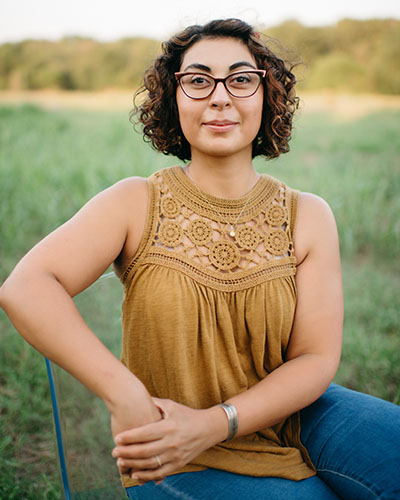
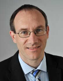
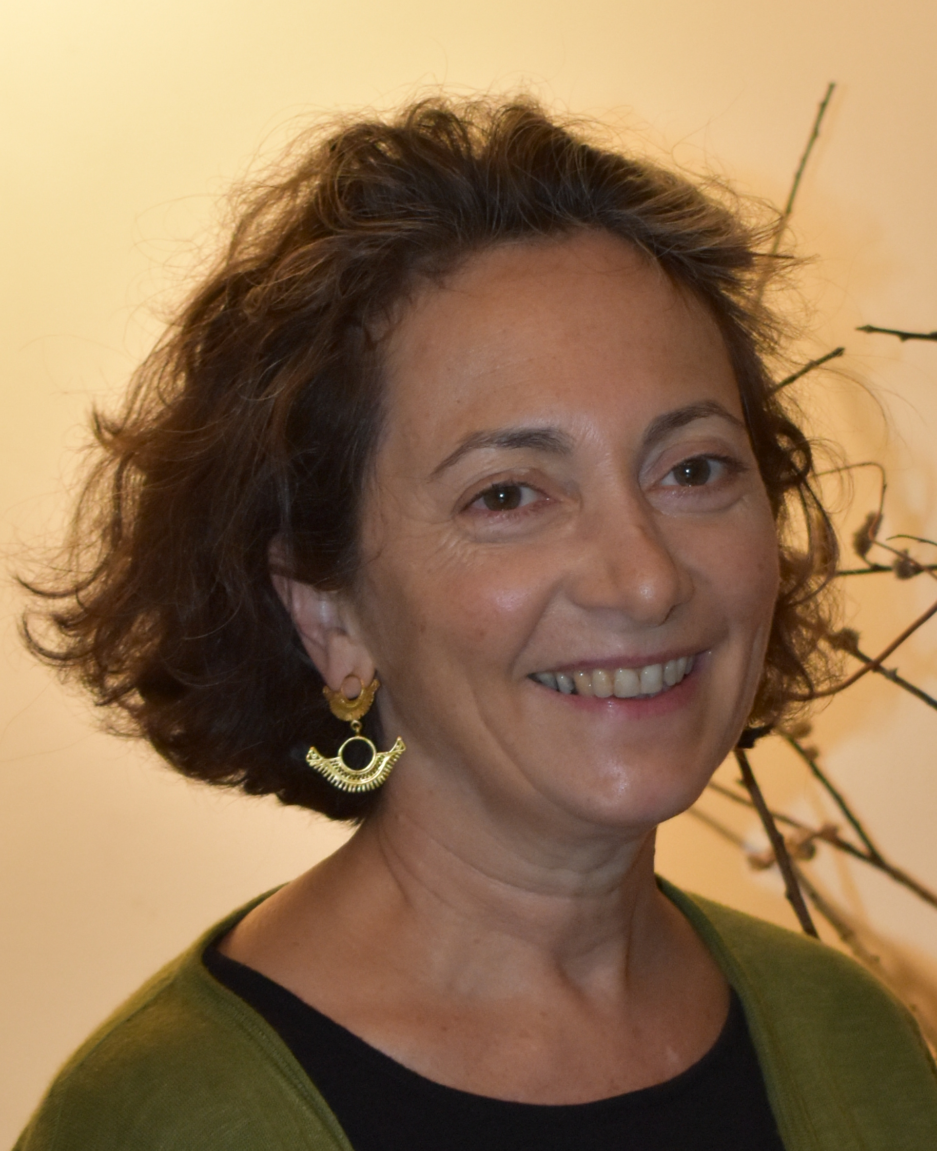
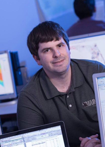
Barbara Schernthanner-Hofer is an Associate Professor at the Department of Geoinformatics (Z_GIS) at the University of Salzburg. She is an Associated Faculty member of the Doctoral College GIScience and serves on the Editorial Board of the AGIT – Journal for Applied Geoinformatics . Her research focuses on Interoperability and Spatial Data Infrastructures, Web-based Geoprocessing, and Digital Earth. Teaching: Co-supervised PhD students: Christian Neuwirth (completed May 2016) and Alfred Wieser. Current courses include Geovisualization and Advanced Cartography , SDI Services Implementation , and Spatial Statistics in the Master's program in Applied Geoinformatics. Past courses include Geodata Acquisition , Thematic Cartography and Geovisualization , and Ontologies and Semantics . Research and Editorial Roles: Serves on the Editorial Board of the AGIT – Journal for Applied Geoinformatics . Labs/Teams: Active within the Department of Geoinformatics (Z_GIS).
Tarmo K Remmel is a Professor at the Faculty of Environmental and Urban Change at York University , Canada. His research focuses on spatial pattern and shape analysis, particularly in boreal forest disturbance patterns, regeneration processes, and fragmentation. He develops theoretical approaches and software tools for quantifying spatial data, extending 2D and 3D analysis, and disseminating open-source solutions via the R environment . Education: B.E.S. (Honours), University of Waterloo, Geography (minor: Geology) M.Sc.F., Lakehead University, Forestry Ph.D., University of Toronto, Geography Research interests include: Shape and pattern measurement across spatial scales Forest disturbance recovery and carbon quantification 3D voxel segmentation and morphological classification Landscape configuration and boundary analysis Uncertainty and accuracy in geospatial measurements Free and Open Source Software (FOSS) for GIS Recent publications emphasize boreal wildfire/harvesting databases, 3D morphological metrics, and hyper-local spatial configuration. He has secured grants from NSERC , SSHRC , and the Canadian Space Agency for projects like Assessing forest disturbance and recovery and Accurate forest carbon quantification . Scientific awards include the Dean’s Service Award. He supervises graduate students in Geography and Environmental Studies, with ongoing projects in wildfire boundary analysis, methane cycling, and LiDAR-based forest mensuration. Labs & Teams: Leads the PATTERN Lab , which develops tools like morph and ShapePattern R packages. Collaborates with the International Ecological Footprint Learning Lab and BorealDB project.
Drew Muscente serves as an Adjunct Assistant Professor in the Department of Geology at Cornell College, Mount Vernon, IA. His academic work intersects with research areas such as geoscience, paleontology, and planetary geology, as reflected in departmental initiatives like the Planetary Exploration Lab and Paleontology Repository. Contact details include the email dmuscente@cornellcollege.edu and a physical address at 102 Norton Geology, Cornell College, United States. His research interests align with disciplines including geochemistry, sedimentary materials, and tectonics, which are supported by institutional facilities such as the Geochemistry Lab and Thin Section & Sample Preparation Lab. No specific scientific awards, publications, or student advising details were mentioned in the provided text.
Associate Professor Dipto Sarkar is affiliated with the Department of Geography and Environmental Studies . His research bridges GIScience , human geography , and digital geography , focusing on modeling spatial interactions and developing methods applied to biodiversity conservation, urban geography, and ecology. B.Sc. in Computer Science (University of Calcutta) M.Sc. in Geoinformatics (Symbiosis International University) Ph.D. in Geography (McGill University) His research emphasizes interdisciplinary collaboration, addressing challenges in conservation, urban planning, and GIS. His recent work explores OpenStreetMap data quality, spatial modeling for population estimation, and social networks in digital geography. His publications highlight methodological innovations in GIS, conservation science, and community-driven mapping, with applications to primate habitats, tropical forests, and public health at human-wildlife interfaces. He advocates for inclusive, supportive academic environments and leverages computational approaches to solve ecological and urban challenges.
Helena Mitasova is a Professor at North Carolina State University and Distinguished Fellow at the Center for Geospatial Analytics, specializing in geospatial analytics and modeling of landscape processes. She leads innovative research in coastal evolution, soil erosion, natural hazards, and sustainable land management. Her work focuses on advanced geospatial technologies such as Tangible Landscape , dynamic landscape simulations, and LiDAR time series analysis. She is a key contributor to open-source GIS development, including the GRASS GIS Project and the OSGeo Foundation , and co-authored the first book on GRASS GIS. Recent publications highlight her expertise in UAS remote sensing, environmental modeling, and geospatial education. Her research trends include integrating cloud-based participatory platforms, improving biomass productivity assessments, and applying geospatial tools to public health challenges like wastewater surveillance for disease trends. University Consortium for GIS Research award (2020) Geological Society of America Fellow (2020) Waldo-Tobler GIScience Prize (2018) Lifetime achievement award, International Society for Geomorphometry (2018) Sol Katz award for Open source geospatial service (2010) Biennial Medal, International Environmental Modeling and Software Society (2006) Excellence in development award, Open Geographic Information Systems Foundation (1994) Helena leads the NCSU GeoForAll Lab, which emphasizes open-source geospatial software and collaborative decision-making. She teaches graduate courses in geospatial modeling and geocomputing, leveraging her expertise in spatial interpolation, topographic analysis, and UAV data applications.
Mark Alan Fonstad is an Associate Professor of Geography at the University of Oregon in the College of Arts and Sciences. He specializes in the physical geography of rivers, the fusion of physical geography with geographic information science, geomorphology, hydrology, and remote sensing. His work focuses on riverscape and mountain environments, particularly in the western United States, examining how humans interact with their environments through lenses such as theory, management, hazards, sustainability, law, engineering, restoration, and habitat. University of Oregon, Department of Geography, College of Arts and Sciences Environmental Studies Program affiliate Environmental Sciences Institute affiliate Dr. Fonstad's educational background includes secondary education at Lourdes Academy (Oshkosh, WI), a B.S. in Geography at the University of Wisconsin (Madison, WI), a M.A. in Geography at Ohio University (Athens, OH), and a Ph.D. in Geography from Arizona State University (Tempe, AZ) in 2000. He was a postdoctoral fellow at Montana State University from 2000-2001, taught at Texas State University from 2001-2011, and has taught at the University of Oregon since 2011. He is the son of geographer Todd Fonstad and cartographer Karen Wynn Fonstad. Dr. Fonstad's research spans geomorphology, hydrology, remote sensing, and environmental simulation, with particular focus on rivers and mountain environments. His work integrates physical geography with geographic information science to understand river systems, water resources, and environmental change. He has made significant contributions through his development of the HAB Transform for converting river images into depth maps, measurement of spatial variations in mountain stream power, mapping and modeling of treeline ecotones, cellular automata models of instream hydrodynamics, and the critical riverbank conjecture for which he received the AAG's 2005 G.K. Gilbert Award. His recent work focuses on high-resolution remote sensing of river habitats, modeling river dynamics, and hydrological applications related to NASA's SWOT satellite mission. AAG's 2005 G.K. Gilbert Award (with W. Andrew Marcus) for the critical riverbank conjecture Environmental Sciences associate editor of the Annals of the Association of American Geographers (2010) Editor of the Annals's Special Issue on Water (2012) Dr. Fonstad has advised numerous graduate students on the fusion of physical geography, environmental geography, and GIScience, as well as intersections with sustainability and hazards. He coordinates the University of Oregon River Group and has secured research grants from NASA and other agencies for river systems, remote sensing, and environmental monitoring projects. His recent research demonstrates a clear shift toward innovative technological approaches including UAVs, autonomous surface watercraft, and deep learning for fluvial scene analysis, positioning him at the forefront of the river remote sensing revolution with emphasis on high-resolution, basin-wide observations and practical applications for river management and restoration.
Jason A Tullis serves as Professor and Chair of the Department of Geosciences within the College of Arts and Sciences at the University of Arkansas. He maintains dual affiliations with the Arkansas Center for Space and Planetary Sciences (17 years) and the Center for Advanced Spatial Technologies (20 years), reflecting his deep integration into the university's research ecosystem. His academic credentials include: Ph.D. in Geography, University of South Carolina M.S. in Geography, University of South Carolina B.S. in Geography, Brigham Young University Dr. Tullis specializes in Geographic Information Science (GIScience) and remote sensing applications for ecosystem services management, with distinctive emphasis on ethical provenance frameworks in spatial problem-solving. His work bridges theoretical geospatial methodologies with practical environmental decision support systems, particularly through unmanned aircraft systems (UAS) and multiuser enterprise GIS architectures. He contributes significantly to international scientific initiatives as a lead author for the IPCC Sixth Assessment Report and Associate Editor of GIScience and Remote Sensing . His operational impact extends to disaster response through the International Charter Space and Major Disasters program and planetary science via NASA's Mars data analysis initiatives. Dr. Tullis directs research activities within the Arkansas Center for Space and Planetary Sciences and the Center for Advanced Spatial Technologies, where his teams develop cutting-edge geospatial solutions for terrestrial and extraterrestrial environments. His current instructional focus includes Geospatial UAS operations and advanced remote sensing applications.
Nazgol Bagheri, Ph.D., is a Professor in Political Science and Geography at the University of Texas at San Antonio (UTSA), affiliated with the College of Liberal and Fine Arts. She coordinates the Geography and Environmental Sustainability Graduate Program and manages the COLFA GIS Lab, organizing annual International GIS Day celebrations. Her career bridges architecture, computer science, and sociology through interdisciplinary research. B.Arch (2004), National University of Iran (Shahid Beheshti) B.S. Computer Science (2006), National University of Iran (Shahid Beheshti) M.A. Urban Design (2007), National University of Iran (Shahid Beheshti) Ph.D. Geography & Sociology (2013), University of Missouri-Kansas City Her research integrates feminist geography, urban planning, and GIS to analyze public space dynamics in Middle Eastern contexts. Key themes include gendered spatial boundaries, Islamic modernity, and mobility's role in identity formation. She explores how Tehran's subway users negotiate state-imposed gender norms through subtle behavioral adaptations. Her publications trend toward interdisciplinary GIS applications in gender studies, urban transformation analysis, and cultural geography. Recent works examine global bilingualism patterns, critical zone urbanism, and feminist pedagogy in geography education. She pioneered GIS-based studies on Iranian women's spatial agency but often avoids overt feminist terminology due to political constraints. Scientific Awards: 2017 President's Distinguished Teaching Excellence Achievement Award (UTSA) 2012 AAUW American Fellowship Bagheri secured institutional seed grants for GIS faculty workshops and contributed to field-defining publications like The World in Brooklyn on gentrification. She teaches courses ranging from world geography to advanced GIS, emphasizing spatial thinking and urban sustainability. Her lab coordination role supports UTSA's geographic research infrastructure.
Mei-Po Kwan is a Professor of Urban Geography in the Department of Human Geography and Spatial Planning within the Faculty of Geosciences at Utrecht University. She is actively affiliated with the Utrecht Exposome Hub under the Life Sciences research theme, focusing on environmental health and spatial exposure analysis. Her research spans Urban Geography, Geographic Information Science, Health and Medical Geography, and Transport Geography, with significant methodological contributions to spatial analysis and GIScience. She pioneers exposome research through advanced geospatial techniques to study environmental impacts on human health in urban contexts. Professor Kwan maintains extensive editorial leadership as Editor of the Annals of the Association of American Geographers (Methods, Models, and GIS Section) since 2006 and Book Series Editor for SAGE Advances in Geographic Information Science and Technology since 2009. She serves as a global grant reviewer for major funding bodies including the National Science Foundation, NIH, European Research Council, and national councils across 10 countries, evaluating hundreds of proposals since 1995.
Alexander Brenning is Professor and Head of Chair at Friedrich Schiller University Jena's Faculty of Chemistry and Earth Sciences. His office is located in JenTower, Room 26N05 (Leutragraben 1, 07743 Jena), with Monday office hours from 4-6 pm. Contact includes email alexander.brenning@uni-jena.de and phone +49 3641 9-48850. His research pioneers spatial statistical and computational tools for environmental applications, focusing on landslide susceptibility modeling, mountain permafrost dynamics (including rock glacier field studies in the dry Andes), and remote sensing for land cover classification. He develops open-source R software extensions that integrate GIS functionality and spatial accuracy assessment, emphasizing transparent uncertainty quantification for environmental decision-making in spatial planning and land management. Brenning served as Dean of the Faculty (2017-2020) and chairs the Geography undergraduate examinations committee. He teaches geographical information systems and environmental statistics courses in German and English across all academic levels. His administrative leadership in curriculum development and academic governance directly supports student training in quantitative geographical methods, though specific advisees and research grants aren't detailed in available materials.
Catherine Dominguès is a senior researcher at the French National Mapping Agency (IGN) specializing in Natural Language Processing for Cartography within the MEIG (Mediation and Enrichment of Geographic Information) research team. Her work bridges computational linguistics and geographic information science, focusing on the intersection of language analysis and spatial data representation. Education : Habilitation à diriger des recherches (HDR) in Natural Language Processing (2020), PhD in Computer Science (2001), DEA in Theoretical Foundations of Computer Systems (1989) Research Interests center on places and placenames , expressive variations in toponym spelling , location-based information retrieval , and sensitive cartography . Her methodology combines data mining , fuzzy spatial reasoning , and geovisualization techniques. Key publication trends show her work connects NLP for map analysis , mountain rescue support systems , and narrative-based mapping . She contributes to heterogeneous data integration and fuzzy logic applications in geographic contexts. Supervision : Co-supervised Dong Chuanming (PhD) and previously supervised Firas Bessadok (PhD) Projects : Core member of the CHOUCAS project (2017-2022) integrating heterogeneous data for mountain rescue, and involved in MATRICIEL (2016-2017) mapping migrant perceptions
Andrea Presotto is an Assistant Professor in the Department of Geography, Planning and Sustainability at East Carolina University. Holding dual PhDs in GISciences (University of Georgia) and Geography (University of Sao Paulo), she bridges interdisciplinary domains including Environmental Studies, Spatial Cognition, and Conservation Biology. Education PhD in GISciences, University of Georgia, Athens, GA PhD in Geography, University of Sao Paulo, Brazil MS in Geography, University of Sao Paulo, Brazil BS in Geography, University of Sao Paulo, Brazil Research Focus Dr. Presotto investigates human impacts on environmental systems through geospatial techniques. Her work examines: Landscape of Fear dynamics in human-modified habitats Primate behavior in fragmented mangrove ecosystems Elephant navigation strategies in the Zambezi River Basin Conservation through the One Health framework Spatial cognition across species in altered landscapes Her research integrates empirical field data with GIS, remote sensing, and UAV technology to analyze environmental changes at multiple scales. Recent projects focus on capuchin monkey tool use in Brazil's mangroves and cognitive mapping in African elephants. Dr. Presotto's publications appear in journals like Animal Behavior , Current Biology , and PLOS One , with funding from the National Science Foundation and National Institutes of Health. She actively seeks Ph.D. students interested in human-wildlife interactions in coastal habitats.
Dr. Matthew Dube is an Associate Professor of Data Science, Computer Information Systems, and Applied Mathematics at the University of Maine at Augusta. His research focuses on geospatial reasoning, bioinformatics, and data science applications to real-world problems. He teaches courses in databases, data mining, computational biology, and R programming. Dr. Dube holds a Ph.D. (2016), M.S. (2009), and B.A. (2007) in Spatial Information Science and Engineering and Mathematics from the University of Maine. His professional activities include umpiring baseball during spring/summer and mentoring students through the Upward Bound program. Dr. Dube has presented at numerous GIScience conferences and publishes in journals like Journal of Spatial Information Science and GIScience . He actively advises GSBSE students in data mining, visualization, and computational biology. Research priorities include spatial-temporal data science, bioinformatics, and geospatial policy analysis with applications in rural housing vulnerability and electoral geography.
Gregory Matthew is a Senior Faculty Research Assistant II at Oregon State University's College of Forestry, Department of Forest Ecosystems & Society. His work focuses on advancing geographic visualization, vegetation mapping, and wildfire ecology through innovative spatial analysis techniques. Matthew holds a B.A. in Mathematics from The Colorado College (1993) and an M.S. in Geographic Techniques from Oregon State University (1999). His research emphasizes applications of Geographic Information Science (GIScience) and Discrete Global Grid Systems (DGGS) to address environmental challenges. Recent studies include understanding conifer forest persistence in wildfire refugia and evaluating biomass mapping discrepancies between Landsat and lidar data. Matthew's contributions support forest management strategies and habitat conservation efforts for species like the greater sage-grouse. He maintains an active research webpage at LEMMA and regularly publishes in journals like Global Change Biology and Forest Ecology and Management .
Carolyn Fish is an Assistant Professor in the Department of Geography at the University of Oregon, where her research bridges cartography and environmental communication. She examines how maps serve as translational tools to address societal challenges like climate change through story mapping, cognitive experiments, and interdisciplinary collaboration. University of Oregon (2019–present) Cartography and Environmental Communication research focus Secretary/Treasurer, Cartography Specialty Group of the AAG Vice Chair, Sustainable Development Commission of the International Cartographic Association Research: Fish studies the role of maps in communicating climate change impacts, using methods like content analysis, user studies, and story mapping. Her work emphasizes cartography as a translational discipline connecting science to public understanding. Scientific Awards: National Center for Atmospheric Research (NCAR) Early-Career Innovator Grant (2019) 2025 Keynote Speaker, Cartography and Mapping Specialty Group of the American Association of Geographers Teaching: Courses include Data Driven Cartography, GIScience I, Advanced Cartography, and Communicating with Maps, among others. Lab Members: Current students are Shiyu Zhang (PhD), Joy Ikhuka (PhD), and Fangsheng Zhou (MS). Former students include Cathy Slavik, Lucy Roberts, Zhaoxu Sui, Janice Kai Chen, Michala Garrison, and Nat Douglass.