- Transportation Geography
- Geographic Information Science (GIScience)
- Sustainable Transportation
- +۱۳ مورد دیگر
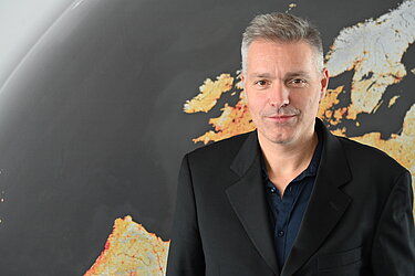
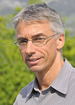
Dr. Darren Scott is a Professor in the School of Earth, Environment & Society at McMaster University, specializing in Geographic Information Science (GIScience) and teaching courses such as GIS Programming and Data Processing Using Python. He previously served as an Assistant Professor at the University of Louisville’s Department of Geography and Geosciences (1999–2002) and held a Visiting Research Professor position at the Swiss Federal Institute of Technology (Zurich) in 2008. His academic background includes a BA (Honors and Co-op) in Geography from Saint Mary’s University (1991), an MA from the University of Western Ontario (1994), and a PhD from McMaster University (2000). Dr. Scott’s research focuses on transportation systems, aging populations, GIScience innovations, and sustainable infrastructure. He has pioneered work in route choice modeling, transportation demand analysis, and the impact of demographic changes on mobility. In 2008, he established TransLAB, a research lab within his school, which explores advanced transportation topics using GPS and geospatial tools. His projects have been funded by major agencies like NSF, SSHRC, and NSERC, addressing issues ranging from electric vehicle adoption to flood resilience in emergency services. His teaching emphasizes Python programming and advanced GIS applications, reflecting his expertise in geospatial technologies. He has contributed to policy debates on urban sustainability, particularly regarding Canada’s Greenbelt legislation and telework trends during the pandemic. Despite no explicitly mentioned scientific awards, his extensive grant history and scholarly output highlight his impactful contributions to the field. Dr. Scott’s advising and grant activities center on interdisciplinary studies, including the McMaster Monitoring My Mobility Study (MacM3), which tracks mobility patterns of older adults. His work bridges transportation engineering, urban planning, and public health, often leveraging big data and GIS tools to analyze real-world scenarios in cities like Hamilton and Calgary.