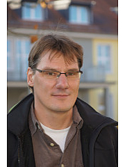
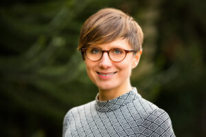
Giacomo Landeschi is an Associate Professor at Lund University's Department of Archaeology and Ancient History, affiliated with the Joint Faculties of Humanities and Theology. He serves as deputy director of the Digital Archaeology Laboratory (DARK Lab) and works as a research engineer in the LU Humanities Lab. His expertise lies in digital archaeology, 3D GIS, and digitally informed sensory archaeologies. Lund University, Department of Archaeology and Ancient History Deputy Director, DARK Lab Research Engineer, Humanities Lab Landeschi's research focuses on spatial analysis of ancient environments using advanced digital tools. He leads or co-leads projects studying: Space and movement in Pompeian houses via 3D GIS (since 2016) AI-based methods for Scandinavian forest land analysis Ancient urbanism in southern Etruria His recent publications include co-authored books on sensory archaeology and 3D GIS methods. Landeschi also contributes to academic evaluation as an ERC Consolidator Grant committee member (SH6 - The Study of Human Past). Grant for publication (2018) Travel grant (2018) Conference grant (2017) Research Initiation grant (2017)
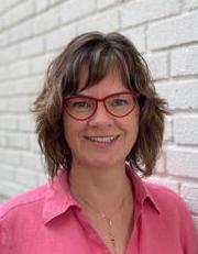
Anne McIntosh is an Associate Professor and Associate Dean at the Augustana Campus of the University of Alberta, with an adjunct appointment in the Department of Renewable Resources at the Faculty of Agricultural, Life and Environmental Sciences. Her research spans forest ecology, disturbance dynamics, and ecological reclamation, focusing on post-disturbance recovery of biodiversity and ecosystem services. PhD in Biology MSc in Ecology BSc (Honours) in Environmental Science Her research explores: Ecological recovery after natural and anthropogenic disturbances (mountain pine beetle, oil sands, reclamation) Microbial and plant community interactions Functional trait variability in forest ecosystems Conservation in mixed-use landscapes Teaching innovations in ecology and biology Her recent publications emphasize trait-based forest restoration, invasive species impacts, and monitoring reclaimed ecosystems globally. She leads the Ecological Recovery Lab and collaborates on cross-continental studies in Canada, Sweden, and Costa Rica. She teaches advanced courses in: AUBIO 315 - Advanced Biological Analysis (statistical methods) AUBIO 323 - Plant Biology AUBIO 253 - Ecological Interactions AUBIO 411 - Capstone Biology Perspectives AUSTA 215 - Statistical Methods for Natural Sciences Her lab focuses on long-term ecological monitoring, using field surveys and UAV technology to assess recovery trajectories in forest and grassland ecosystems.
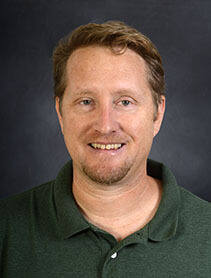
Prof. Dr.-Ing. Matthias Pietsch serves as a Professor at the Faculty of Agriculture, Ecotrophology and Landscape Development, Anhalt University of Applied Sciences in Bernburg, Germany. His academic focus centers on geospatial technologies for sustainable environmental and landscape planning across agricultural and urban contexts. His research spans Geographic Information Systems (GIS) applications in landscape architecture, renewable energy infrastructure planning (particularly wind farm siting and visual impact assessment), precision agriculture through remote sensing, and green infrastructure development. He integrates spatial analysis with ecological principles to address land use challenges and resource management. His 2025 publications demonstrate a cohesive trend in applying geospatial methodologies to environmental sustainability: from wind energy impact assessments and sugar beet yield optimization using vegetation indices to green infrastructure synergies. These works reveal interdisciplinary connections between environmental science, agricultural technology, and urban planning. Prof. Pietsch maintains an extensive collaboration network with institutions including Fraunhofer ISE, Helmholtz Centre for Environmental Research (UFZ), Landesanstalt für Landwirtschaft und Gartenbau Sachsen-Anhalt, HafenCity University Hamburg, Technical University Dresden, and numerous governmental and private sector partners across Germany.
Laurence Pattacini is a Senior Lecturer at the University of Sheffield , affiliated with the School of Architecture and Landscape. With qualifications as a licensed architect in France and a Master in Urban Design (Distinction) from Oxford Brookes University, they integrate professional practice, research, and teaching to address sustainability challenges in urban environments. MA in Urban Design (Distinction), Oxford Brookes University Postgraduate Certificate in Higher Education (PGCFHE) Diplôme d’Architecte (DPLG), France Their research focuses on urban forms , landscape perception , and riverside industrial site regeneration , emphasizing sustainable design strategies. Publications analyze riverside urbanity, public open spaces, and historical landscape practices. Teaching includes modules like Sustainable Urban Environments and Landscape Urbanism and Design , prioritizing hand-drawing and critical spatial analysis. Recent publications reveal trends in climate-responsive urban design , design guidance , and cultural-environmental intersections . They have contributed to GIS-based urban modeling, policy documents, and cross-European case studies, bridging academic research with practical applications for community engagement. As a fully qualified higher education teacher , Laurence co-ordinates curriculum development and supervises students, leveraging their European professional experience across landscape architecture firms in London, Berlin, Milan, and Amsterdam. Current research explores urban-industrial riverside regeneration in Northern Europe, with ongoing PhD work.
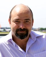
Peter Mandl is an Associate Professor affiliated with the Institute for Computer Science Education at the University of Klagenfurt. His research focuses on Geoinformatics, Artificial Intelligence, Environmental Research, Remote Sensing, and Computer Simulation. He explores topics such as socio-ecological systems, spatial agent-based modeling, land use change, and urban and regional analysis. His work integrates interdisciplinary approaches, combining GIS technology with environmental policy, social sciences, and engineering. Key research interests include the application of geospatial tools for sustainable land use planning, renewable energy assessment, and modeling complex geographic systems. He has contributed to studies on forest fuel markets, satellite image interpretation, and fog phenomena in climate research. His publications emphasize spatial decision support systems, agent-based simulation frameworks, and the development of open geoinformatics platforms like RadWeb Mittelkärnten. His articles demonstrate a consistent focus on bridging theoretical modeling with practical applications, often using agent-based methods to analyze environmental, economic, and social systems. While no scientific awards are explicitly mentioned, his contributions to geoinformatics education and research are evident through his extensive publication record and teaching roles. Collaborative projects and grants are not detailed here, but his work suggests involvement in interdisciplinary teams addressing environmental and urban challenges. Labs and teams associated with his research are not explicitly listed, though his affiliations imply participation in geoinformatics and environmental science groups at the University of Klagenfurt.
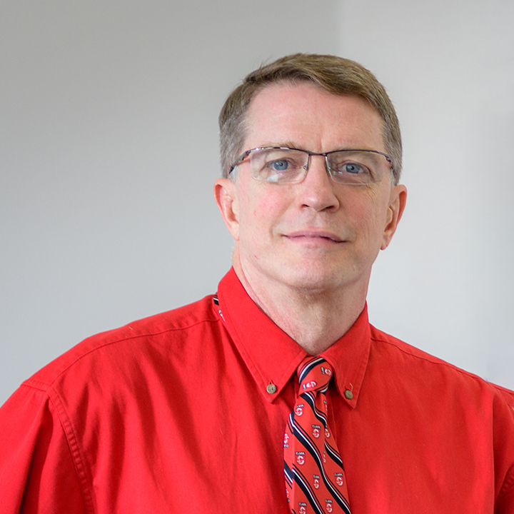
Robert Gilmore Pontius Jr. is a Professor at Clark University's Graduate School of Geography specializing in Geographic Information Science with expertise in Land Change Science , Simulation Modeling , and Statistical Analysis . He develops quantitative methods for spatial data analysis that are implemented in the TerrSet software suite. B.S. Mathematics & Economics , University of Pittsburgh (1984) M.S. Applied Statistics , Ohio State University (1989) Ph.D. Environmental Science , SUNY College of Environmental Science and Forestry (1994) His research focuses on map comparison methodology and land change modeling , particularly addressing quantity disagreement and allocation disagreement in spatial data. He pioneered the Total Operating Characteristic (TOC) framework and advanced techniques for accuracy assessment in remote sensing . Recent publications analyze land category transitions , urban risk modeling , and multi-resolution map comparison . His work has received 19,000+ citations and been funded by NSF , NASA , and Edna Bailey Sussman Fund for research in Plum Island Ecosystems and Brazilian Cerrado Biome . Michael Breheny Prize (2005) Fulbright Scholar of Brazil Clark Labs research affiliate Scientific Advisory Board member, MapBiomas He teaches GIS & Land Change Models and GIS & Map Comparison , with student-created tutorials viewed internationally. He also performs as Doctor Stardust , a professional juggler who won the International Jugglers Association's People's Choice Award .
Giovanni Leonelli is an Associate Professor at the University of Parma in the Department of Chemical, Life and Environmental Sustainability Sciences . His work integrates geomorphology , climatology , and stable isotope analysis to study climate reconstruction and environmental dynamics in alpine and glacial systems. Focuses on climate change impacts in mountainous regions like the Alps, Northern Apennines, and Chilean Andes Utilizes tree-ring isotopes and GIS analysis for reconstructing environmental shifts Teaches courses on Cartography and GIS , Applied Geomorphology , and Geomorphological Hazards His recent publications emphasize debris flow characterization , glacier retreat effects , and dendrochronological climate proxies . Scientific awards include recognition for his master’s thesis in Natural and Environmental Sciences by the Lombardy Institute (2003).
Toby Butler is an Associate Professor in the Department of Geography at Royal Holloway, University of London. He holds a PhD in Geography from the same institution (awarded 2007). Currently serves as a Digital Education Consultant at Birkbeck, University of London since October 2021. His research focuses on oral history methodologies, memoryscapes, and the intersection of digital technologies with historical documentation. Notable projects include the 2022-2025 OHEM project ('An Oral History of the Environmental Movement, 1970-2020'), and initiatives like the Victoria Park Memoryscape (2012-2022). Key areas of engagement include public history projects such as the 2022 Queen Elizabeth Olympic Park immersive trail, the 2018 Tate & Lyle Lives exhibition, and the 2014-2015 Bethnal Green Disaster oral history project. His work often combines physical spaces with digital storytelling to create participatory historical narratives. Education: PhD in Geography (Royal Holloway, 2007) Recent Research: Environmental activism archives, small museum curation, digital education tools Collaborations: Active projects with institutions in the UK and international historiography networks
Dr Jonny Huck is a Senior Lecturer in Geographical Information Science at the University of Manchester's Department of Geography. He holds additional roles as Honorary Professor at Gulu University, Uganda, and chairs several key groups including GISRUK National Steering Committee, Mapping & GIS Innovation Group, and Digital Humanities GIS Lead. His academic background includes a BSc (First Class) from Lancaster University, an MSc (Distinction) from the University of Leeds, and a PhD from Lancaster University. Research focuses on computational geography, particularly applying GIS to global health, environmental restoration, and urban segregation. Key interests include participatory GIS (PGIS), volunteered geographical information (VGI), and geographical simulation models. He developed the Map-Me PGIS platform and Shed Earth tool for geological analysis. Professional experience includes prior roles as Technical Manager in a UK wind farm developer and ongoing consultancy via Lune Geographic . Awards include three University of Manchester Making a Difference Awards for projects like Community Mapping Uganda and a Furness College Fellowship. His work aligns with UN SDGs related to health, environment, and innovation. Active in interdisciplinary projects such as the MEaSURE urban ecosystem initiative and Belfast Mobility Project analyzing sectarian spatial divides. Supervises research on prosthetics accessibility in Uganda and integrates AI with historical mapping data. Leads equipment management for the Small Uncrewed Aerial Systems facility.
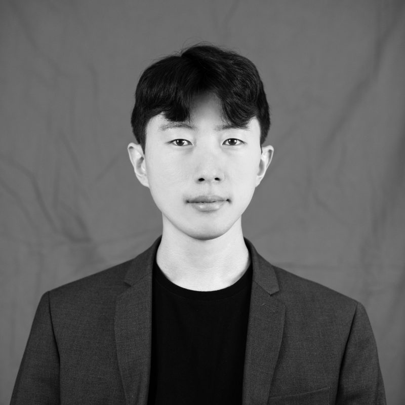
Jaeyoung Ha is an Assistant Professor in Landscape Architecture at Virginia Tech's School of Design. His research focuses on the intersection of environments and human well-being, leveraging immersive visualization technologies, and advancing climate resilience strategies. Ph.D. in Environmental Design and Planning, Kansas State University Master of Landscape Architecture (MLA), Seoul National University Bachelor of Science in Landscape Architecture, Pusan National University Mental Well-being: Investigates how landscapes influence psychological restoration through biodiversity and spatial patterns, employing VR experiments and observational studies. Immersive Visualization: Pioneers AR/VR applications in landscape education and design decision-making. Climate Resilience: Conducts interdisciplinary research on green infrastructure and urban heat island mitigation. His 15 most recent publications span 2017–2025, with recurring themes of mental health assessment , 3D urban morphology , multisensory landscape evaluation , and ecosystem services quantification . Articles combine theoretical exploration and data-driven methodologies across diverse urban contexts.
Dr. Pedro Trapero Fernandez is a Postdoctoral Researcher at the University of Cádiz, affiliated with the Department of History, Geography and Philosophy and the Institute of Viticulture and Agri-Food Research (IVAGRO). He leads the HUM240 Historical Heritage of Andalusia in Antiquity research group and specializes in Ancient History, with particular focus on Roman viticulture, landscape archaeology, and geospatial analysis. PhD in Ancient History and Archaeology (2020) with thesis on Roman Viticulture in the Hasta Regia and the Guadalquivir Estuary Research expertise in non-invasive techniques: GIS, drones, ground-penetrating radar, magnetometry Active academic collaborations with international institutions including FORTH (Greece) His research integrates classical agronomic texts like Columella with modern geospatial technologies to reconstruct ancient agricultural practices and mobility networks. Key projects include Roman road network analysis, viticulture modeling, and archaeological applications of GIS in Spain and Portugal. He has contributed to coastal and inland connectivity studies in Roman and Medieval contexts. Scientific publications demonstrate technical proficiency in geophysical prospecting and historical modeling. Notable works include: GIS applications for Roman property surveying, multidisciplinary analysis of wine production, and innovative methodologies for studying ancient transportation networks. As an educator, he has taught at undergraduate and master's levels through predoctoral contracts and developed flipped classroom methodologies for humanities teaching. Current affiliations include the Agustín de Horozco Seminar on Economic Studies and multiple international research partnerships.
Dr. Elisabeth Sommerlad is a postdoc researcher in Human Geography at the Institute of Geography, Johannes Gutenberg-University Mainz. She holds a diploma (2012) and PhD (2019) from Mainz, focusing on cinematic representations of intercultural encounters in New York City. Her research bridges media culture and social geography, addressing cultural diversity, identity formation, and spatial dynamics in urban and tourist contexts. She co-edits the book series *Media Geography at Mainz* and has published extensively on film cartography, digital inequalities, and cinematic cities. Education: Diploma in Geography/Communication/Sociology (2012, Mainz), PhD in Geography (2019, Mainz). Research interests include: Media-geographic analysis of cultural encounters Spatial narratives in film and digital media Urban cultural diversity and tourism geographies COVID-19 pandemic impacts on digital access Teaching focuses on media geography theory, cinematic cities, and digital geographies. Active in professional organizations like the VGDH and AAG, she leads the SOCuM 'Immersive Spaces' junior research group. Contact: e.sommerlad@geo.uni-mainz.de.
Katherine Sorrels is a Professor of History at the University of Cincinnati, where she also serves as Affiliate Faculty in Judaic Studies and formerly chaired the Taft Health Humanities Research Group. She specializes in modern European and North American history of medicine, disability studies, and Jewish experience, with a particular focus on Holocaust studies, scientific racism, and eugenics. Her research interests center on the intersections of medical history, disability, and Jewish experience, particularly examining how Austrian Jewish refugees transformed approaches to disability after the Holocaust. She is currently completing her book On the Spectrum: Refugees from Nazi Austria and the Politics of Disability and Belonging in Britain and America , which explores the Camphill movement founded by Austrian Jewish refugees in Scotland during WWII. Her previous book, Cosmopolitan Outsiders: Imperial Inclusion, National Exclusion, and the Pan-European Idea, 1900-1930 (2016), examined Jewish intellectuals' contributions to early European unity movements. Her scholarly output reveals consistent engagement with disability history, Jewish studies, and medical humanities, with recent publications including co-edited volumes Disability in German-Speaking Europe: History, Memory, Culture (2022) and Ohio under COVID: Lessons from America's Heartland in Crisis (2023). Her digital humanities project Disability and Belonging uses ArcGIS StoryMaps to explore debates about living arrangements for people with intellectual disabilities. National Endowment for the Humanities Fellowship (2024-2025) Gene Lewis Faculty Teaching Prize (2021) Award for Innovative Uses of Technology in Teaching (2019) Public Humanities Award from Charles Phelps Taft Research Center (2020) TOME Award for open access monograph ecosystem (2021) Sorrels actively mentors graduate students in history, with numerous MA and PhD advisees working on topics related to medical history, disability studies, Jewish history, and migration. She has secured significant research funding including multiple NEH fellowships, Taft Center fellowships, and Botstiber Foundation grants. Her community partnerships include work with Cincinnati's Holocaust and Humanity Center and Harriet Beecher Stowe House on historic garden restoration. She also leads the Stowe Garden project to restore the historic landscape around the Harriet Beecher Stowe House as an educational greenspace.
Dr. Helen Hambly is a Professor in the Department of Capacity Development and Extension at the University of Guelph’s School of Environmental Design and Rural Development. She joined the institution in 2003 after 30+ years in international agricultural research and development, including roles with the CGIAR, IDRC, and Canadian NGOs. Her work focuses on knowledge mobilization, IT in agricultural innovation systems, and rural broadband advocacy. She leads projects such as Canada’s WELL-E AI initiative and the Regional Rural Broadband Strategy. Dr. Hambly also engages in gender analysis in agricultural policy and governance, serving as Chair of the International Potato Center and Vice-President of Farm Radio International. Education: Bachelor of Arts, University of Toronto Master of Environmental Studies, York University Doctor of Philosophy, York University Research Interests: Technology adoption in developing nations Rural-urban digital divides Gender equity in agricultural innovation Capacity-building for smallholder farmers Agricultural communication systems Grants & Leadership: Project lead for Canada’s national agricultural broadband strategy Principal investigator for the WELL-E AI capacity development project Former Chair of CGIAR’s RTB Research Program Steering Committee Labs & Collaborations: WELL-E AI project (multi-stakeholder initiative) Rural Broadband Policy Advocacy Network Journalists for Human Rights (Vice-Chair)
John Derek Morgan is an Associate Professor in the Department of Earth and Environmental Sciences at the University of West Florida, within the Hal Marcus College of Science and Engineering. He serves as the primary faculty for the online Master of Science in GIS Administration program, contributing significantly to geospatial education and research. His work bridges urban environmental geography, GIS, cartography, and public policy. PhD in Geography, Florida State University MS in Management Information Systems, University of Central Florida BA in Economics (with Computer Science minor), University of Central Florida Dr. Morgan's research centers on the application of advanced geospatial methodologies to urban and environmental challenges. His work spans participatory mapping, crime mapping using time-geographic models, hazard modeling, land use planning, and cartographic visualization. He emphasizes user-centered design in Web GIS and explores how spatial tools can promote safer communities and equitable decision-making. His projects often integrate satellite imagery, social vulnerability indices, and community input to inform resilience and policy. The recent publications reflect a strong trend in applying GIS to social and environmental issues, including disaster response, urban park safety, illegal logging detection using GeoAI, and wildfire monitoring. His work combines technical innovation in geovisualization with real-world applications in public safety, environmental justice, and urban sustainability. Scientific Awards: NSF Doctoral Dissertation Research Grant #0927850 Dr. Morgan advises graduate students in the MS GIS program and has been involved in significant research grants, including the Florida Sea Grant 2024 project focused on training GIS graduates for coastal resilience. His collaborations span interdisciplinary teams, including environmental scientists, urban planners, and computer scientists. He has also contributed foundational content to the UCGIS Geographic Information Science & Technology Body of Knowledge. He leads research initiatives involving Web GIS development, hazard modeling post-hurricanes, and participatory mapping for community engagement. His lab work includes the use of satellite imagery, Bayesian networks for infrastructure failure, and deep learning for environmental monitoring. Future work continues to focus on transboundary viewshed changes, GeoAI applications, and improving spatial tools for public decision-making.