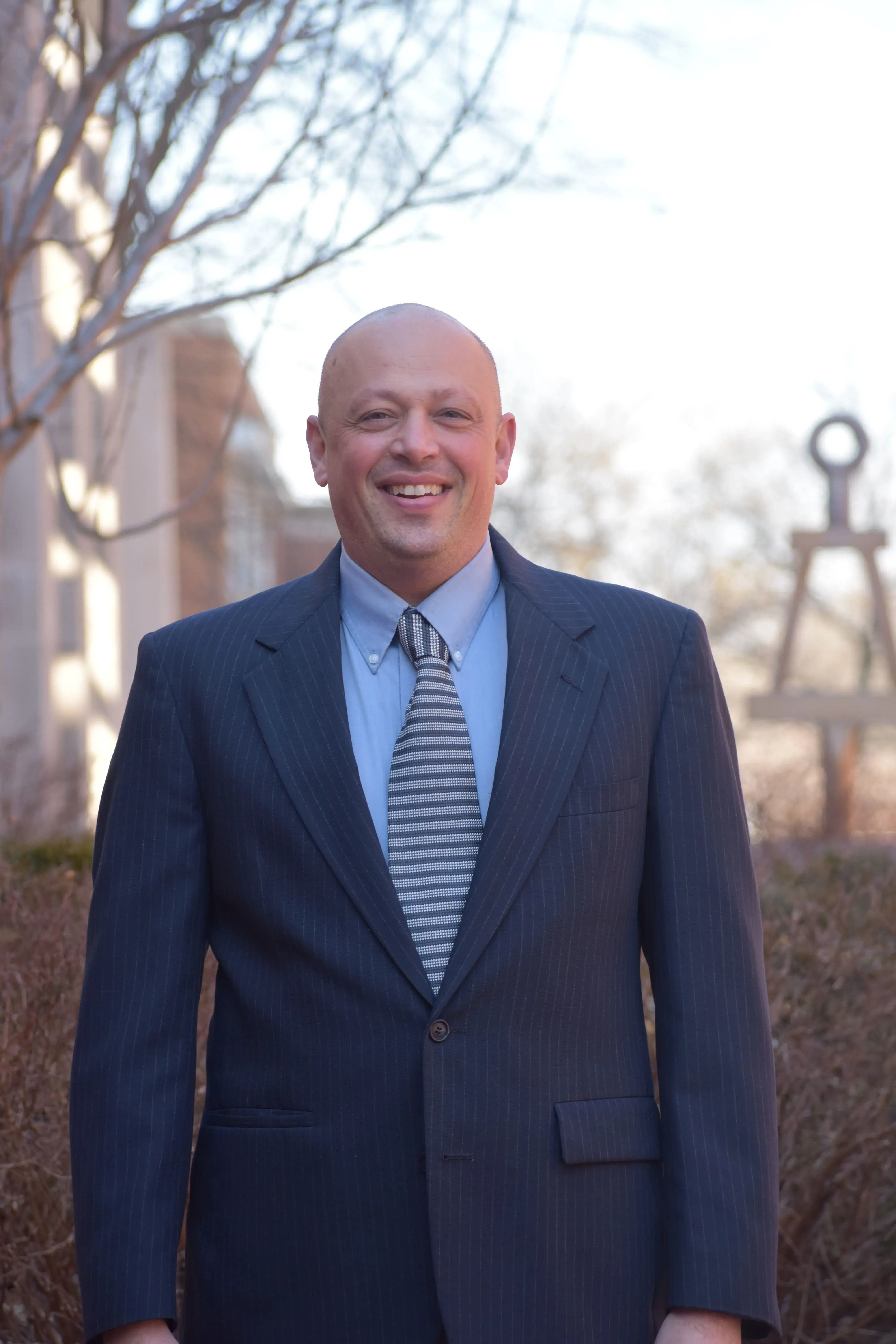
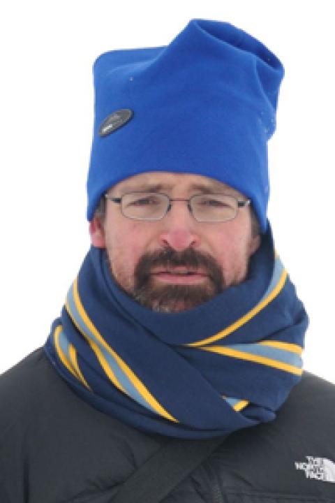
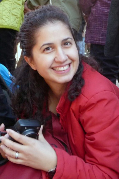
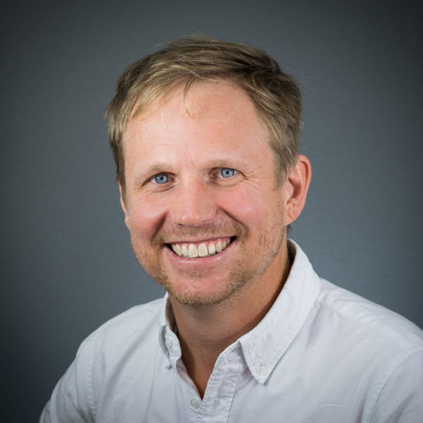
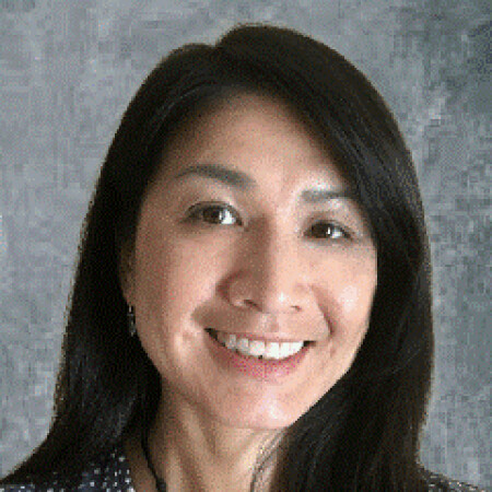
Eric Green is an Adjunct Assistant Professor in the Department of Civil Engineering at the University of Kentucky , affiliated with the Kentucky Transportation Center . He holds a Ph.D., M.S., and B.S. in Civil Engineering from the same institution. Ph.D., Department of Civil Engineering, University of Kentucky M.S., Department of Civil Engineering, University of Kentucky B.S., Department of Civil Engineering, University of Kentucky His research focuses on highway safety , spatial analysis (GIS) , crash modeling , and software development for traffic safety . Recent work includes text mining for secondary crash detection and GPS-based horizontal curve analysis. Publications highlight trends in crash analysis , Highway Safety Manual methodologies , and data integration for asset management . Key subfields include GIS applications, safety modeling, and automated regression techniques.
Prof. Dagmar Haase is a Full Professor in Landscape and Urban Ecology at Humboldt Universität zu Berlin, serving as Deputy Director of the Geographical Institute. She holds affiliations with the Helmholtz Centre for Environmental Research (UFZ) and has earned honorary professorships in Sweden and Romania. Her academic journey includes a PhD from the University of Leipzig (1999) and Habilitation from Martin-Luther-University Halle-Wittenberg (2009). Her research focuses on urban ecosystem services, social-ecological systems, and nature-based solutions to urban challenges. Key projects include EU-funded initiatives on green infrastructure (e.g., Horizon Europe’s NaturaConnect) and climate resilience. Awards include the AXA Research Fund Award (2014) and Honorary Wallenberg Professorship (2016). Haase’s work integrates remote sensing, citizen science, and participatory modeling to address urban sustainability. Over 250+ publications and an h-index of 77 reflect her prolific contributions. She advises numerous PhD candidates exploring urban dynamics, biodiversity, and governance. Current grants span climate adaptation, urban densification, and ecological networks.
Christophe Viavattene is an Associate Professor of Environmental Sustainability at Middlesex University , specializing in flood risk management and urban resilience. He has spent 17 years at the Flood Hazard Research Centre , leading interdisciplinary research across economic and physical sciences in water and flood risk. Research Focus: Flood vulnerability (coastal, urban, fluvial), GIS tools (INDRA model), Multi-Coloured Manual (MCM) methodology, mental health impacts of flooding, groundwater flood risk in arid regions, and air quality risk assessment. Teaching: Programme Leader for the MSc Sustainability and Environmental Management , teaching problem-based sustainability, GIS, and environmental monitoring. Key Collaborations: EU FP7 RISC-KIT, EU CONHAZ, Environment Agency UK projects. Recent Publications: Bayesian flood models, coastal hotspots analysis, and groundwater flood damage methodologies. His work bridges academic research with practical applications, including flood storage compensation frameworks and vulnerability indicator libraries.
Pascale Biron is a Professor in the Department of Geography, Urban Planning and Environment at Concordia University, Montreal. She holds a Ph.D. in Geography from Université de Montréal (1995) and has been with Concordia since 1998. Her research focuses on river dynamics, stream restoration for fish habitat, flood modeling, and climate change impacts. She specializes in hydrogeomorphology, river management in agricultural watersheds, and numerical modeling of fluvial processes. Research Interests: Her work includes river restoration strategies, flood risk assessment using LiDAR technology, and the 'river freedom' concept promoting ecosystem resilience. She collaborates closely with government agencies to translate research into practical river management policies. Professional Affiliations: Canadian Geomorphology Research Group, Canadian Association of Geographers, American Geophysical Union, GRIL (Limnology Research Group), and RIISQ (Quebec Flood Risk Network). Publications & Research: Recent studies address global salmonid biomass patterns, fluvial hazard detection via machine learning, and large-scale flood modeling. She supervises 19 graduate students in Ph.D./M.Sc. programs in Geography and Environmental Studies, focusing on topics like river confluence hydraulics and agricultural stream restoration. Grants & Funding: Active projects include river dynamics in fish habitats, flood modeling for road infrastructure vulnerability, and computational fluid dynamics simulations of river flows. She also leads research on societal dimensions of river restoration and policy frameworks for flood resilience.
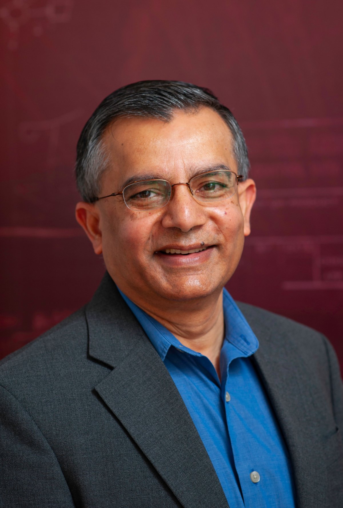
Shashi Shekhar is a Professor at the University of Minnesota, holding the distinguished titles of McKnight Distinguished University Professor and Distinguished University Teaching Professor. He serves as the ADC/CSE Chair and Director of the AI-LEAF Institute within the Department of Computer Science at the College of Science and Engineering. His research interests span multiple areas of spatial computing including spatial data science, spatial data mining, spatial databases, Geo-AI, and Geographic Information Systems (GIS). His work has focused on developing scalable algorithms for eco-routing, evacuation route planning, and spatial pattern mining. He has made significant contributions to the field through his Spatial Databases textbook, the Encyclopedia of GIS which has seen over 192,918 downloads in 2017, and a spatial computing book for professionals. His research group has produced numerous PhD graduates dating back to 1993 through 2023. Analysis of his recent publications reveals a strong focus on applying spatial computing to critical societal challenges including climate change mitigation through the AI-LEAF Institute, pandemic response through mobility data analysis, and sustainable transportation through eco-routing algorithms. His work bridges theoretical advances in spatial data science with practical applications in urban planning, emergency management, and environmental sustainability. Distinguished McKnight University Professor Distinguished University Teaching Professor UCGIS Education Award (2015) Graduate Education Award (2015) President of University Consortium for GIS (2017-2018) Computing Research Association Board Member (2016-2019) Professor Shekhar has advised over 30 PhD students since 1993, with his most recent graduate in 2023. He has secured significant research funding including a $20 million AI Institute grant focused on climate-smart agriculture and forestry. His Spatial Computing Research Group maintains active collaborations with government agencies and industry partners. The group has developed practical applications featured in media outlets including FoxTV coverage of evacuation route planning algorithms. Current research directions include applying AI techniques to address climate challenges through the AI-LEAF Institute and advancing spatial data science for polar regions through NSF-funded initiatives.
Jeff Sayer is a Professor in the Department of Forest and Conservation Sciences at the University of British Columbia (UBC) Faculty of Forestry . His research focuses on applied conservation science and the human dimensions of environmental change , with fieldwork spanning Indonesia, West and Central Africa, and Southeast Asia. Current projects include sustainable landscapes in Indonesia (since 2010), forest transitions in Ghana and the Congo Basin (since 2000), and new approaches to conservation science (since 2000). Research emphasizes integrated natural resource management, landscape-scale decision-making, and reconciling agriculture with biodiversity conservation. Key research themes: Integrated landscape approaches for multifunctional landscapes Forest governance and tenure conflicts Policy coherence for Sustainable Development Goals Human-environment interactions in tropical regions Recent publication trends show interdisciplinary focus on deforestation-free trade policies, agroforestry systems, forest governance challenges, and transdisciplinary science applications across tropical Asia, Africa, and Canada.
Brian Calder is a Research Professor at the Center for Coastal and Ocean Mapping, University of New Hampshire, with a strong affiliation in Ocean Engineering and Earth Sciences. He holds a Ph.D. and M.S. in Image Analysis and Electronics Communications Engineering from Heriot-Watt University. His academic work is centered on advanced methods in seafloor characterization and hydrographic data processing. Ph.D., Image Analysis, Heriot-Watt University M.S., Electronics Communications Eng, Heriot-Watt University His research focuses on the development and application of computational techniques for seabed mapping, bathymetric uncertainty modeling, and autonomous ocean sensing. He integrates machine learning, signal processing, and remote sensing to improve the accuracy and reliability of marine geospatial data. His work supports navigation safety, coastal zone management, and deep-ocean exploration. Recent publications highlight trends in automated nautical chart generalization, trusted community bathymetry systems, and wireless ocean-of-things networks for volunteer data collection. His article portfolio reveals a strong emphasis on data quality, uncertainty quantification, and algorithmic innovation in hydrography and marine geodesy. Brian Calder has received multiple research grants, primarily from NOAA and the U.S. Navy, supporting projects such as IT support for NOAA personnel at UNH, development of bathymetric uncertainty models, and autonomous mapping using Saildrone technology. These grants reflect sustained funding and recognition in the field of hydrographic science. He teaches graduate courses including Seafloor Characterization , Seabed Mapping , and Doctoral Research , indicating active mentorship and academic leadership. His work is conducted within the Center for Coastal and Ocean Mapping, a leading institution in hydrographic research, where he collaborates extensively with experts like Yuri Rzhanov, Larry Mayer, and Christos Kastrisios.
Michela Bertolotto is a Professor in the School of Computer Science at University College Dublin (UCD). Her research focuses on spatio-temporal data modeling, GIScience, and applications of geospatial technologies in fields like urban planning and health informatics. She leads a research group and has supervised 19 PhD and 8 MSc students. Her work includes innovations in LiDAR-based flood risk visualization, semantic web quality assurance, and open-source spatial data analysis. Bertolotto has held roles including College Lecturer at UCD (2000–2006) and postdoctoral research positions at the University of Maine and University of Genoa. Education: BSc and PhD in Computer Science from the University of Genoa (1993, 1998). Professional achievements include over 100 publications, 24 grants (e.g., Science Foundation Ireland-funded Urban ARK project), and editorial roles at journals like the International Journal of Geographical Information Science. Awards include the UCD President's Research Award (2001) and NATO Postdoc Fellowship (1998–1999). Research interests span map personalization, volunteered geographic information (VGI), and geospatial data quality. Her lab develops tools like the LAMSkyCam (low-cost sky imaging system) and dynamic flood risk viewers. She chairs international conferences and serves on program committees for GIScience events.
Professor Thomas Astell-Burt is a Professor of Cities and Planetary Health at the University of Sydney's School of Architecture, Design and Planning. His work focuses on the intersection of urban environments, green spaces, and public health. He is a member of the Sydney Environment Institute and the Charles Perkins Centre. His research examines how urban planning and green infrastructure can mitigate health inequities, combat climate change, and improve mental/cardiometabolic health. Key areas include nature prescriptions, heat-related mortality, and the role of green spaces in reducing loneliness. Recent grants include projects on aged care workforce sustainability, nature-based strategies for loneliness reduction, and the PANDA Trial for cardiometabolic disease prevention. Over 180+ publications span peer-reviewed journals like Scientific Reports , Climate , and PloS One , with a focus on global health trends and urban environmental policies. His work bridges epidemiology, urban design, and interdisciplinary collaboration to inform evidence-based health policies. Key affiliations include leadership roles in global health initiatives and collaborations with institutions like the University of Glasgow. His research has been cited in policy frameworks addressing urban sustainability and planetary health.
Ali Abbas is a Senior Researcher and Methods Fellow at the MRC Epidemiology Unit within the University of Cambridge's School of Clinical Medicine. His academic background includes a PhD in Computer Science from Manchester Metropolitan University, an MSc in Media Informatics from RWTH Aachen University, and a BS in Computer Science from Mohammad Ali Jinnah University. With over two decades of research experience, he specializes in data-driven approaches including exploratory analysis, statistical modelling, and interactive visualization. His core research focuses on developing environmentally sustainable transport systems with positive public health outcomes, particularly through: Agent-based modeling of transport behaviors Cycling infrastructure and active travel interventions Health impact assessment of urban mobility policies Spatial analysis using GIS technologies Complex systems approaches to public health He leads several major research initiatives including the JIBE project (integrating transport and built environment models), GLASST (global health impact assessment), TIGTHAT (integrated global transport-health tool), National Propensity to Cycle Tool, and Impacts of Cycling Tool. His publication portfolio demonstrates consistent focus on transport-health interactions, physical activity epidemiology, and urban health modelling, with recent work emphasizing policy applications and global scalability. As an advocate for open science, he maintains active GitHub repositories of his computational models. He additionally manages junior researchers and contributes to training initiatives within his unit.
Gamze Z. Dane is a tenured Assistant Professor at the Department of Built Environment of Eindhoven University of Technology (TU/e), affiliated with EAISI Mobility and EAISI Health. She leads the Digital City Program (2020-2024) and specializes in decision-support systems, GIS, urban informatics, and data analytics for sustainable urban development. Her research integrates citizens into urban decision-making using digital tools like VR twins and data-driven approaches. Education: PhD in Urban Planning, MSc in Geographical Information Systems (GIS) and Decision Making. Research Interests: Focuses on human-environment interaction, transdisciplinary urban projects, and the impact of digitalization on cities. She develops tools for public participation and uses big data to analyze citizen behavior and urban experiences. Projects: Principal Investigator for EU/national projects involving cities like Eindhoven, Bologna, and Lisbon. Notable projects include UBeX Urban Behavior eXtended reality lab (2024-2026) and ROCK (2017-2020). Awards: Cuperusprijs 2020 (2nd place for student thesis) Drivers of Change Exhibition 2021 ISPRS International Journal Cover Story (2020) Teaching & Innovation: Coordinates courses like Smart Cities and Urban Redevelopment. Developed online teaching materials using VR, drones, and mobile apps. Guest lectures at Istanbul Technical University and visiting scholar at National University of Singapore. Labs & Networks: Leads the UBeX lab exploring immersive technologies for urban analysis. Active in academic networks including Urban Planning journals and international conferences.
Meltem ŞENOL BALABAN is an Associate Professor in the Department of City and Regional Planning at Middle East Technical University (METU), Ankara, Turkey. She holds a dual PhD in City and Regional Planning (METU, 2009) and Urban Engineering (University of Tokyo, 2012). Her academic career includes roles as Director of METU Disaster Management Implementation and Research Center (since 2018), Minor Program Coordinator, and Board Member of the Applied Ethic Research Center. She specializes in disaster risk management, urban resilience planning, GIS-based modeling for evacuation/shelter optimization, and climate change adaptation in urban contexts. Her research focuses on flood risk mitigation in riverine cities, institutional frameworks for cultural heritage protection (e.g., UNESCO sites), and earthquake resilience strategies. Notable projects include developing Turkey's provincial risk reduction guidelines, a climate change risk assessment framework (CRAFT) for cultural heritage, and international cooperation initiatives like the UK-funded CRAFT and NET projects. She has authored over 40 peer-reviewed publications and supervised 10+ theses. Key contributions include GIS-based evacuation models for Istanbul, comparative studies of UK/Japan/Turkey disaster policies, and post-disaster resilience assessments. Awards include JICA Scholarship (2009-2012), ProVention Research Grant (2007-2008), and multiple international recognitions for her work on urban risk reduction. Her teaching portfolio includes courses on GIS in planning, disaster management principles, and urban resilience strategies.
Ross Meentemeyer is a Professor and Director of the Center for Geospatial Analytics at North Carolina State University, affiliated with the Department of Forestry and Environmental Resources in the College of Natural Resources. He holds a Ph.D. in Geography from the University of North Carolina, Chapel Hill (2000) and a B.S. in Geography from the University of Georgia (1993). His research focuses on geospatial analytics, ecological forecasting, biological invasions, and forest health, with a strong emphasis on integrating geospatial data and modeling to address environmental challenges. Dr. Meentemeyer's work includes developing decision-support tools for pest management, climate adaptation, and land-use planning. Notable projects involve forecasting invasive species spread via international trade, creating open-source geospatial platforms, and modeling floodplain development risks. He collaborates extensively with federal agencies like USDA, DOI, and NPS to translate research into practical solutions. His grants include multi-million dollar NSF and USDA-funded initiatives addressing plant disease pandemics, agricultural pest threats, and geospatial infrastructure development. Key outcomes include the PAdb system for pandemic prediction and the FUTURES model for urbanization forecasting. He also leads efforts to enhance stakeholder engagement through participatory modeling tools like Tangible Landscape. Research contributions span 20+ years, with over 100 peer-reviewed articles on topics like viewscape modeling, river water dynamics, and wildfire-epidemic interactions. His work bridges ecological and social sciences, emphasizing actionable solutions for sustainable land management and climate resilience.
May Yuan is the Ashbel Smith Professor of Geospatial Information Sciences at the University of Texas at Dallas (UT-Dallas), affiliated with the School of Economic, Political and Policy Sciences. She directs the Geospatial Analytics and Innovative Applications (GAIA) Lab. Her research focuses on space-time representation, GIS analytics, and environmental/social problem-solving (e.g., disaster risk, pollution, crime mapping). She holds a Ph.D. in Geography from SUNY Buffalo (1994) and B.S. from National Taiwan University (1987). Previously, she was Brandt Professor and Director of the Center for Spatial Analysis at the University of Oklahoma (1994–2014). Education: Ph.D. in Geography, State University of New York at Buffalo, 1994 M.A. in Geography, State University of New York at Buffalo, 1992 B.S. in Geography, National Taiwan University, 1987 Research Interests: Her work integrates space-time GIS databases with cognitive science, environmental modeling, and social dynamics. Key areas include: - Spatiotemporal query and analytics for geographic processes - GIS-based disaster risk assessment (wildfires, tornadoes) - Urban air quality modeling - Neurogeography and Alzheimer’s disease prediction using environmental complexity metrics - Deep mapping and spatial narratives. Grants & Partnerships: Supported by NSF, NASA, DoD, DHS, NOAA, EPA, and state agencies. Her GAIA Lab explores 'place' concepts in space-time analytics. Awards & Roles: Fellow, AAAS and AAG Editor-in-Chief, International Journal of Geographical Information Science (2017–present) Former President, Cartography and Geographic Information Society (2020–2021) and UCGIS (2011–2012) Member, NOAA Environmental Information Services Working Group (2016–2022) Labs/Teams: Leads the GAIA Lab, collaborating on geospatial AI, environmental health, and urban analytics.
Prof. Fatih Terzi is a faculty member in the Department of Urban and Regional Planning at Istanbul Technical University's Faculty of Architecture. His research focuses on sustainable urban development, resilience, ecology, GIS applications, and smart cities. He has held visiting researcher positions at Clemson University (USA), University College London, and Technical University Berlin. He has led projects supported by EU, TÜBİTAK, and others, addressing ecological planning, risk reduction, and urban regeneration. His work bridges academic research with practical urban planning, including projects with municipalities and the Ministry of Environment. He has received multiple awards for research and design, including the Best Paper Award (2025) and TÜBİTAK recognitions. Education: PhD in Urban and Regional Planning from Istanbul Technical University (2010), MSc in Urban Planning (2004), BSc in Urban and Regional Planning from Yıldız Technical University (2000). Research interests include spatial strategic planning, ecological cities, and climate-sensitive urban design. He uses urban modeling and GIS to address sustainability challenges. His recent projects include Istanbul's flood risk analysis, green space strategies, and sustainable city planning in Kayseri and Malatya. Notable awards include the 2024 TÜBİTAK award for urban resilience projects and the 2023 Istanbul Technical University Academic Performance Award. He has also been recognized for design competitions, including the İzmir Ecological Living Area Project (2021) and the 2017 Balkan Architectural Biennale Urbanism Grand Prix. Prof. Terzi holds administrative roles at Istanbul Technical University, including Merkez Danışma Kurulu Üyeliği (2023–present). He oversees academic projects on urban resilience, smart cities, and ecological planning, contributing to both national and international initiatives.