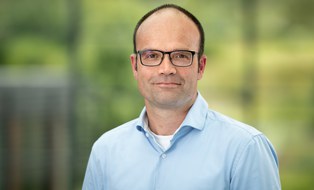
Lars Bernard is Full Professor for Geoinformatics at the Faculty of Environmental Sciences, Technische Universität Dresden since 2015. He also holds the position of Chief Digitalization and Information Management Officer (CDIO) at TU Dresden since 2020 and serves as member of the TUD Rectorate. PhD in Geoinformatics (University of Münster, 2001) Diploma in Physical Geography (University of Münster, 1995) His research focuses on (Geo-)Information Infrastructures , Distributed Geoprocessing , and Smart Environmental Monitoring . He has extensive experience in developing geospatial standards through roles in AGILE, EuroSDR, and INSPIRE initiatives. His publications demonstrate a consistent emphasis on: Metadata provision and data quality frameworks Interoperability solutions for geospatial systems Climate information service architectures User-driven provenance mechanisms As co-chair of RFII (2020-) and spokesperson for NFDI4Earth (2019-), he leads major German research data initiatives. He has advised numerous students and coordinated TU Dresden's Master Geoinformation Technologies program until 2018. Current leadership roles include serving on scientific editorial boards for Environmental Modelling & Software and International Journal of Spatial Data Infrastructures Research .
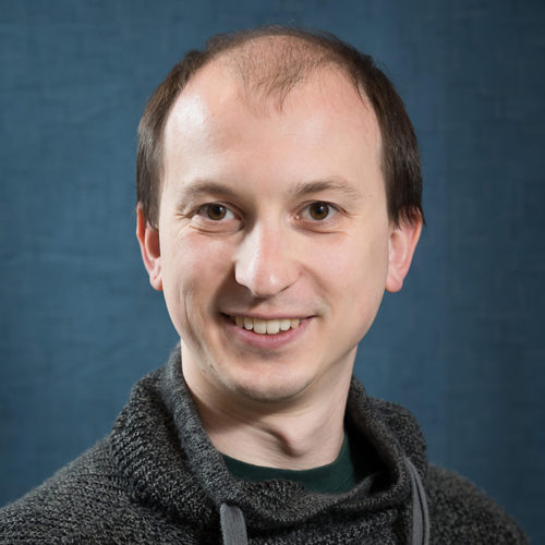
Richard Kos serves as Senior Lecturer, Admissions Director, and MUP Program Graduate Advisor at San José State University's Department of Urban and Regional Planning within the College of Social Sciences. As a certified urban planner and geospatial educator, he directs graduate admissions, advises students, and teaches advanced GIS and urban planning courses that prepare students for professional practice in the Bay Area and beyond. Dr. Kos earned his Masters of Regional Planning from the University of North Carolina at Chapel Hill (1995), focusing on land use planning, growth management, urban sprawl impacts, New Urbanism, and transportation planning. His Bachelor of Science in Environmental Planning and Urban Design came from Rutgers University (1989), where he studied interactions between manmade and natural environments. He is also a Certified California Adult Educator (2003) and holds AICP certification (#105484). His research interests center on the application of digital technology to study land use change spatially and quantitatively, transportation planning, alternative approaches to conventional suburban development patterns, and community engagement strategies. Dr. Kos has particular expertise in New Urbanist-inspired development standards, GIS project management, and spatial analysis for urban planning applications, with extensive experience applying these skills to real-world planning challenges throughout California. His publication portfolio reveals a consistent focus on GIS education, spatial analysis applications, and workforce development issues. The articles demonstrate progression from foundational GIS applications toward increasingly sophisticated analyses of economic development, biotechnology industry clustering, and community engagement strategies, reflecting both technological advances in GIS and evolving urban planning challenges. 2016 CommUniverCitan of the Year for neighborhood revitalization leadership 2014 Most Influential Professor award from SJSU students Multiple GIS design awards (1999-2003) including ESRI Map Book selection Academic Award of Merit from American Planning Association (2014) Outstanding Planning Student Organization Award (2015) As Faculty Advisor for the Urban Planning Coalition, Dr. Kos mentors students in professional development while supervising numerous graduate projects through CommUniverCity San Jose. His student teams have produced maps and spatial analyses for clients including the City of San Jose Planning Department, The Health Trust, Catholic Charities, and other Bay Area organizations, creating valuable experiential learning opportunities while addressing community needs.
Vaclav Petras is a Senior Geospatial Software Engineer and Researcher at North Carolina State University. He holds a Master's in Geoinformatics and a Ph.D. in Geospatial Analytics. His primary role involves advancing spatio-temporal models and tools for geospatial research through open-source development, particularly as a core member of the GRASS GIS project since 2012, where he also serves on the Project Steering Committee. His research focuses on improving geospatial software usability, open science practices, and participatory modeling. Key areas include integrating Jupyter Notebooks with GRASS GIS for education, redesigning user interfaces collaboratively, and developing cloud-based platforms for geospatial analysis. He actively contributes to projects like Tangible Landscape and has published widely on topics ranging from lidar data analysis to invasive species forecasting. Professional contributions span over 100 peer-reviewed articles, with recent work emphasizing cloud-based geospatial tools, risk-based inspection simulations, and ecological modeling. Petras is a strong advocate for open-source software, demonstrated through leadership roles in GRASS GIS and contributions to the Geoforall Lab at NCSU.
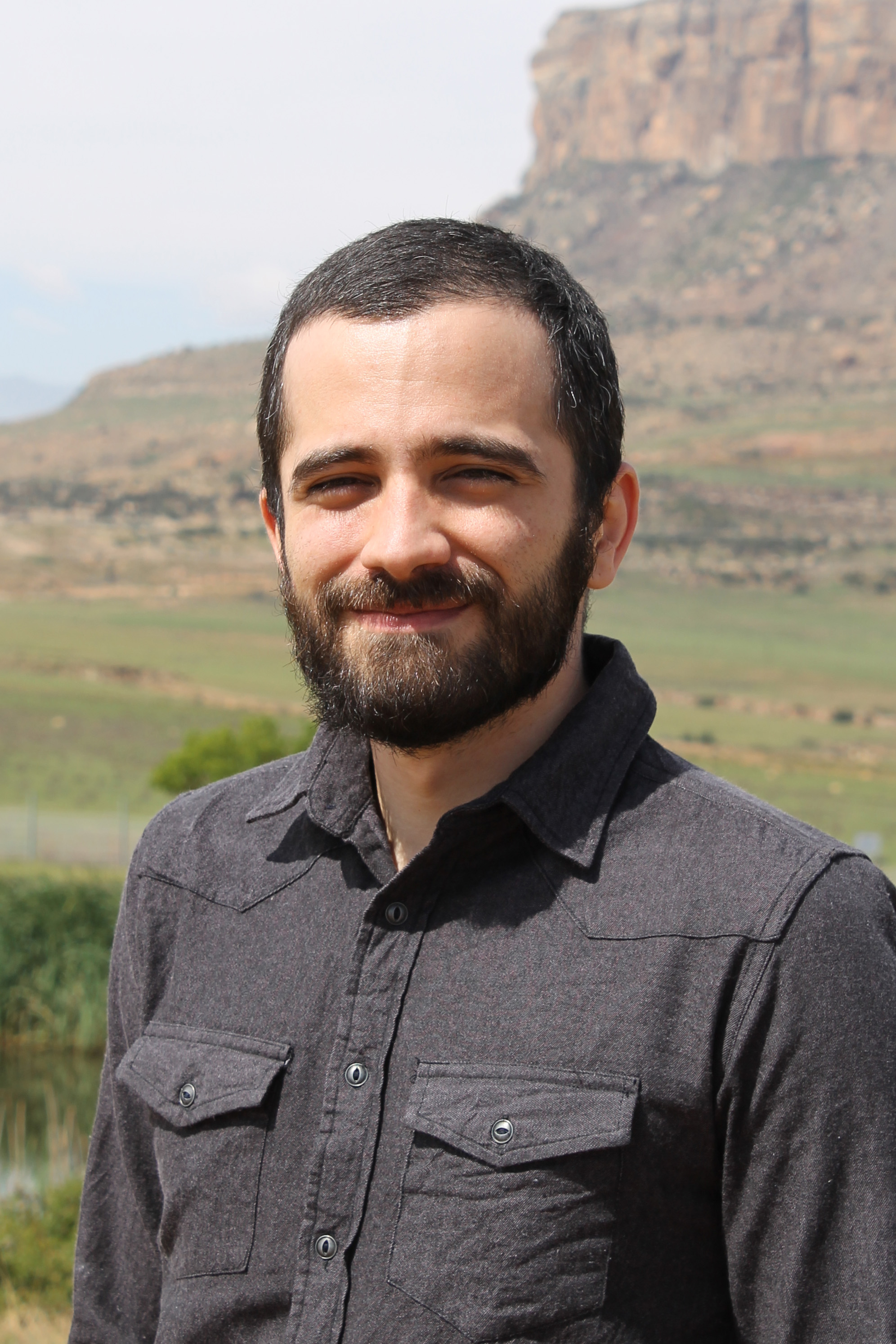
Joao de Deus Vidal Jr serves as a Research Fellow in the Department of Plant Sciences at the University of the Free State (UFS), South Africa, where he contributes to the Afromontane Research Unit (ARU) focused on mountain ecosystem studies. His work bridges institutional research initiatives with global networks including the Global Mountain Biodiversity Assessment (GMBA) and International Long-Term Ecological Research (ILTER). Specializing in the mechanisms driving geographic distribution patterns of intraspecific and interspecific diversities, his research integrates geoprocessing, plant taxonomy, and population genetics to analyze biodiversity in Afromontane environments. Current projects investigate biogeographic patterns along Africa's Eastern Great Escarpment, with emphasis on ecological conservation and species distribution modeling in montane regions. As an active ARU member, Dr Vidal collaborates within international frameworks like the Malagasy Mountain Programme and GMBA, utilizing field data from ARU Weather Stations and the Manica Highlands Alpine Base. His methodological approach combines spatial analysis with genetic studies to address climate change impacts on vulnerable high-altitude ecosystems across southern Africa.